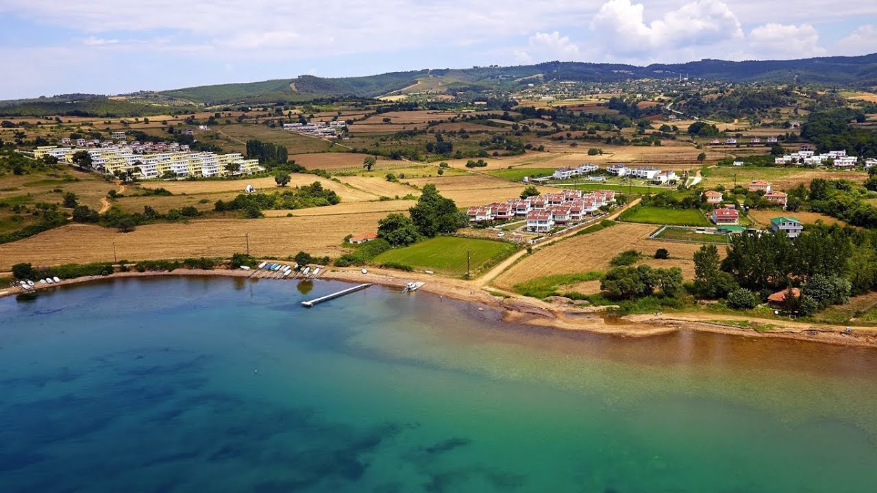
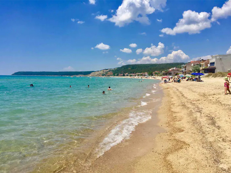
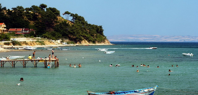
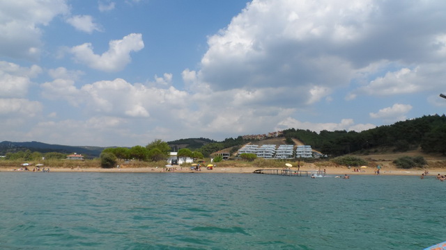
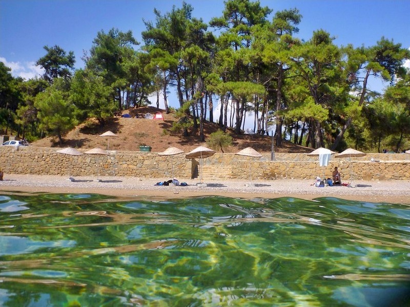

Sazlıdere Beach
Located at a distance of 35 km from Keşan, Sazlıdere is located at the end of the Saros Gulf, in a sense. The magnificent view of the Saros Islands, known as the "Three Islands", is accompanied by the silhouette of the Gallipoli Peninsula on the opposite shore, which finds its soul with its history as well as its nature. The lace-like shores, located from Sazlıdere, the easternmost settlement of Edirne's coasts in Saros, line the northern shores of Saros and extend towards the westernmost town of Enez. If you want to reach Sazlıdere from the direction of Keşan, you should choose the Keşan-Gelibolu state road, which is popularly called the Çanakkale road. At the 25th kilometer of the road, the road sign will point to Sazlıdere, which will meet you after 10 km. If you are coming to Sazlıdere from the direction of Gallipoli or Şarköy, be sure not to miss the signs that turn left in the direction of Kocaçeşme-Adilhan-Sazlıdere from the mouth of the bay before climbing the Koru Mountain in the direction of Keşan. This region, known as Evreşe Six, forms the most extreme part of the Saros Gulf with its shallow, marshy structure that sometimes overwhelms the sea level plain behind it. After entering this road, Adilhan, a few kilometers from the sea, is considered the last settlement on the provincial border of Çanakkale, while its immediate neighbor, Sazlıdere Village, is connected to Edirne.