
Day Tours


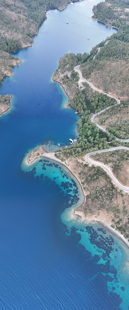
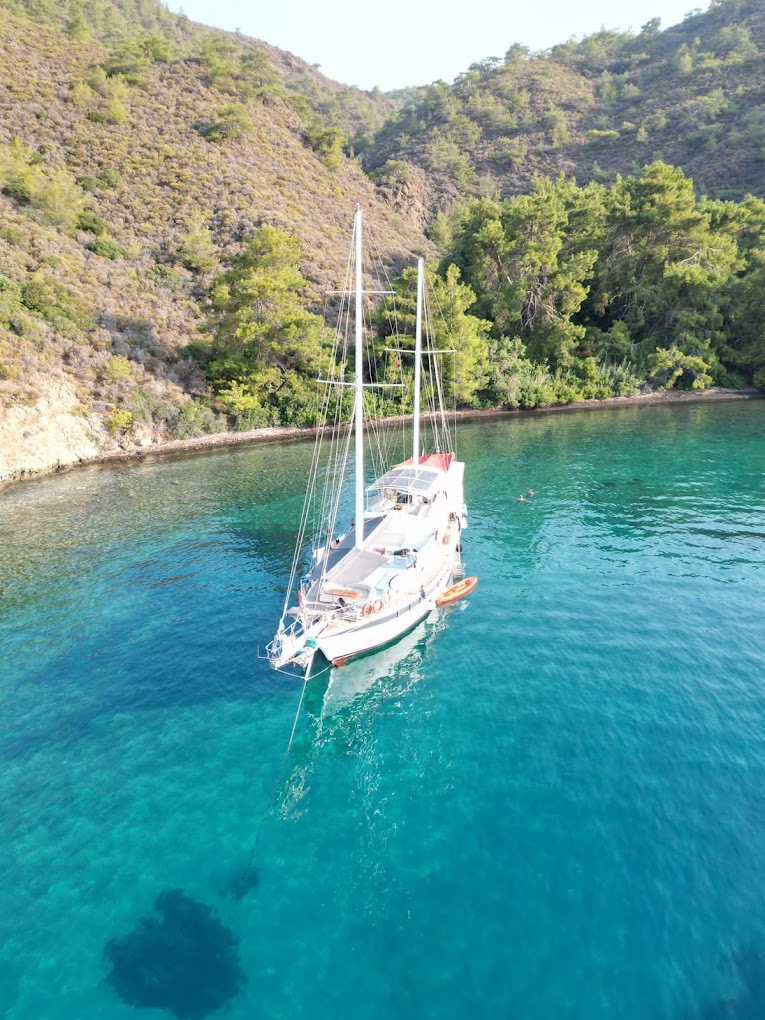
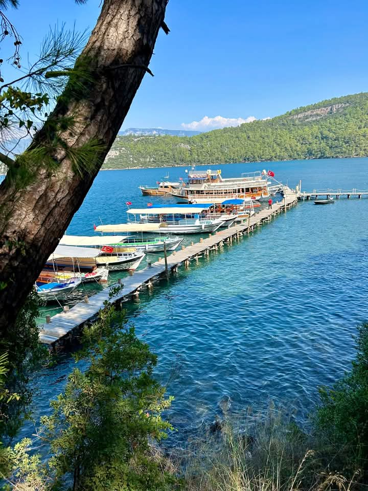
It is a fjord that curves 1.5 miles into the land, north of Dişlice Island. A natural wonder surrounded by pine trees.
When approaching the bay, it is an area to be careful of some dangerous shallows. When approaching from the east, the debris of the promontory on our starboard side extends 75 meters into the sea as we turn into Bencik Bay. At 195° southwest of this promontory, 400 meters away, there is a rock with 1.5 meters of water on it. There is a South Cardinal buoy on this shoal. Despite this, many boats hit this shoal every year due to carelessness.
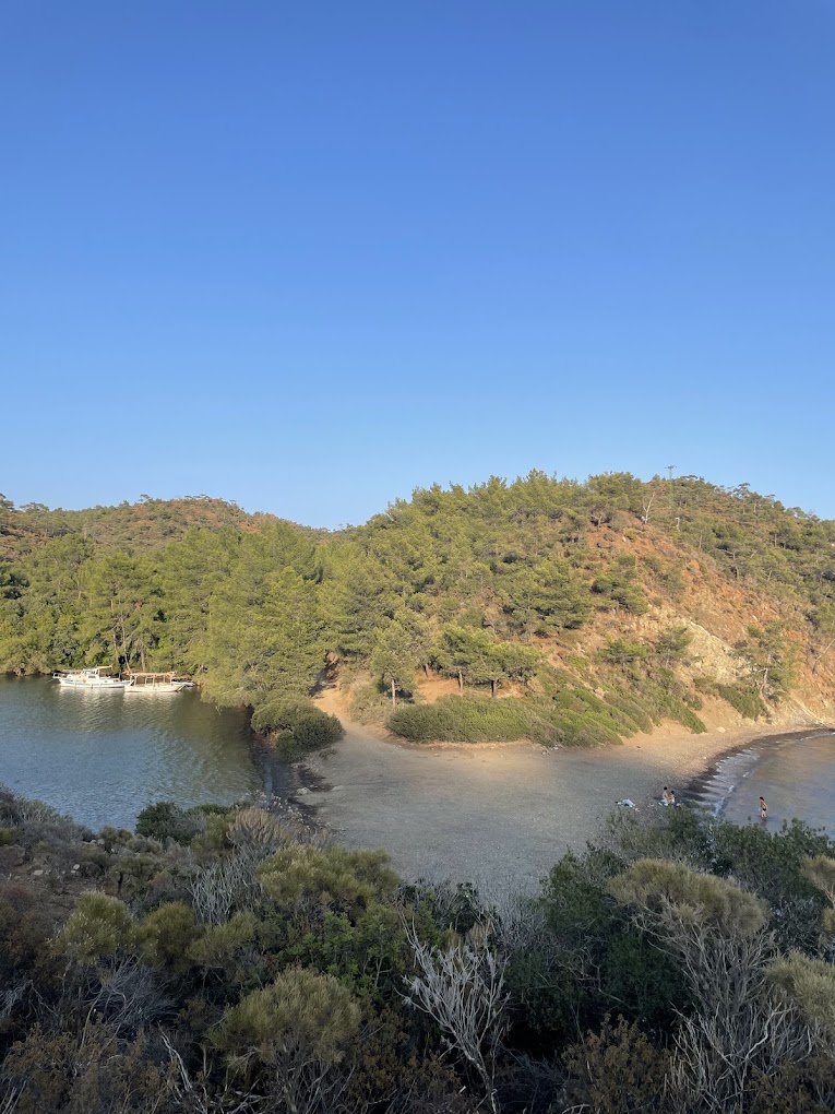
There is also a rock 10 meters north of Dişlice Island. Since the headlands of Hisarönü Bay generally extend into the sea with large and small, above and underwater debris, it is useful to keep a distance from the shore when passing these areas.
Bencik Bay is an elongated, very sheltered bay. There are many coves and places to shelter on the west and east sides.The west side has many anchorages large and small until the end of the bay. Here you can anchor between 8-15 meters (by giving a long caloma) and take a seat from the shore. There may be underwater rocks near the headlands. Before starting the docking maneuver, it is useful to make this check in slightly turbid water. The boats are safe with the dense pine nets behind them and the magnificent view of Bencik Bay in front of them. The bay is sheltered and closed to all weathers. The northern part of Bencik Bay is shallow and reedy.
Accommodation
Transport
Comfort
Food