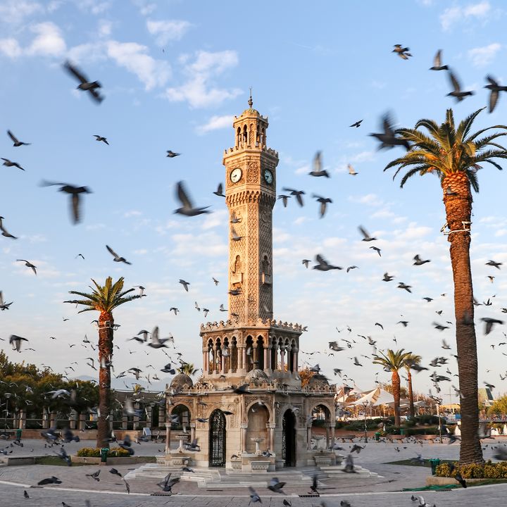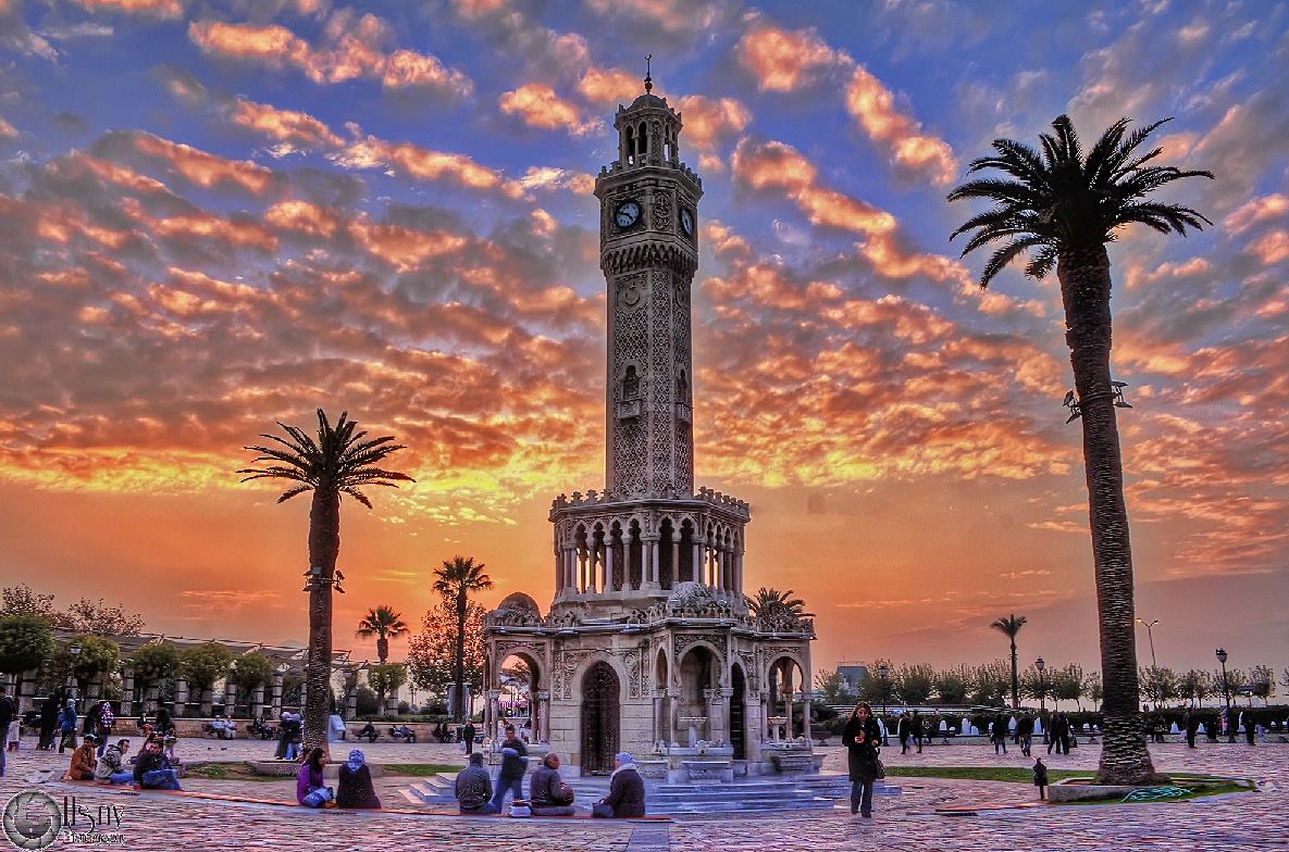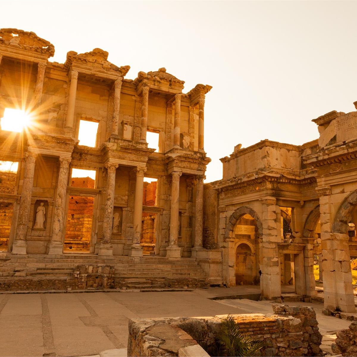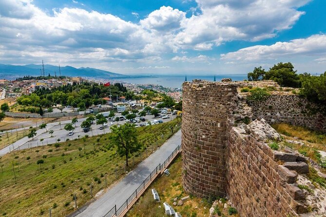

Day Tours


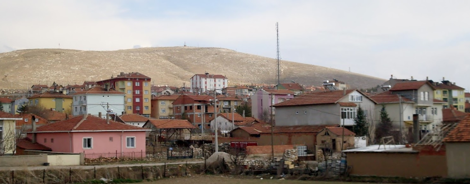
Altıntaş is a district of Kütahya Province in Turkey. Kütahya is 50 km away from the city, 90 km from Uşak and 65 km from Afyonkarahisar. The district is at the crossroads between Kütahya-Afyonkarahisar and Kütahya-Uşak-İzmir. Its former name is known as Kurt Village. The population of 2020 is 15,835.
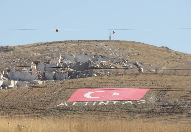
The limiting yield source of the district is agriculture. Wheat, barley, sugar beet, beans and chickpeas are the main crops grown. Fruit growing is not very developed. Rich marble deposits together, to process the installation is not enough. There are 1 kindergarten, 5 primary schools, 6 secondary schools, 3 high schools, 10 combined classrooms and 1 public education center in the district. Martyr Polis Elvan Özbay Vocational and Technical Anatolian High School, which provides vocational education, was archived on the Wayback Machine site on May 15, 2021. Altıntaş Public Education Center and Kütahya Dumlupınar University Altıntaş Vocational School Archived on the Wayback Machine on May 15, 2021. exists.
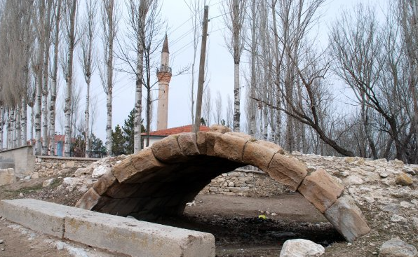
The Great Offensive and the Battle of the Commander-in-Chief were fought within the borders of the district, which had an important place in the War of Independence. Mustafa Kemal Pasha at Zafertepe Çalköy "Armies, Your First Target is the Mediterranean, Forward!" carried out his historic order.
Zafer Airport is located here. In addition, it may be possible to cover close distances in the irrigation area while the Beşkarış Dam residence and Akçaköy Dam continue.
Accommodation
Transport
Comfort
Food