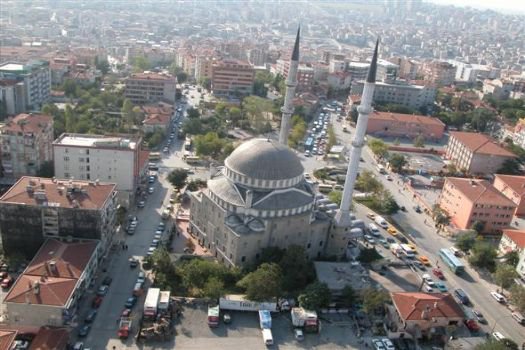
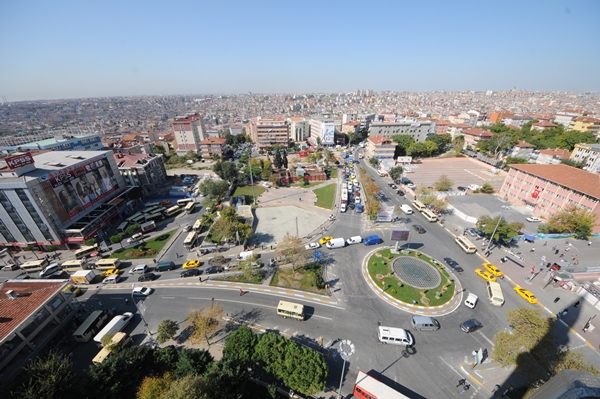
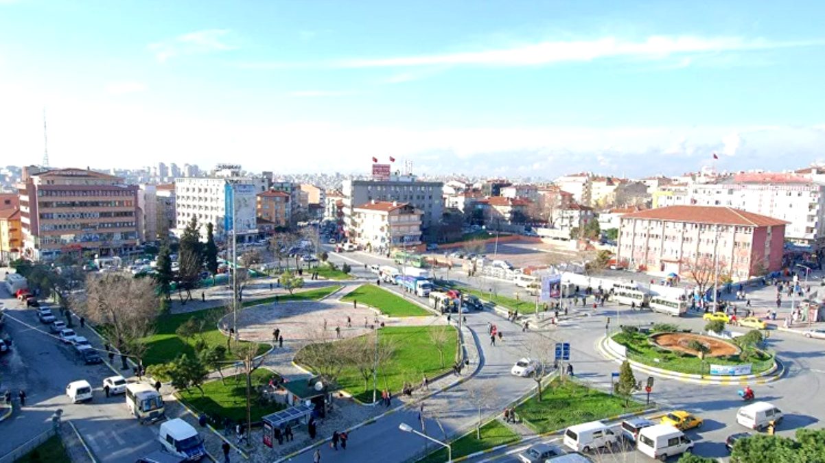

Bağcılar
It is one of the places that was separated from Bakırköy in 1992 and made a district. Bagcilar, which was home to only a few villages until the 70s, grew irregularly after this period with the explosion of internal migration. Bağcılar, through which the most important highways pass today, is the third most populous district of Istanbul. Bahçelievler in the south; the military zone and Başakşehir in the north; It is adjacent to Esenler and Güngören to the east, and Küçükçekmece to the west.