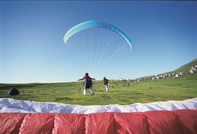

Başçiftlik
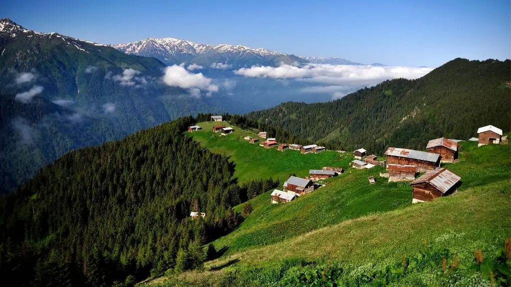
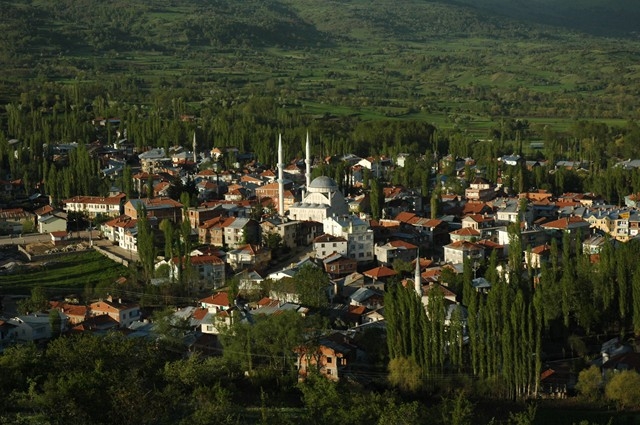
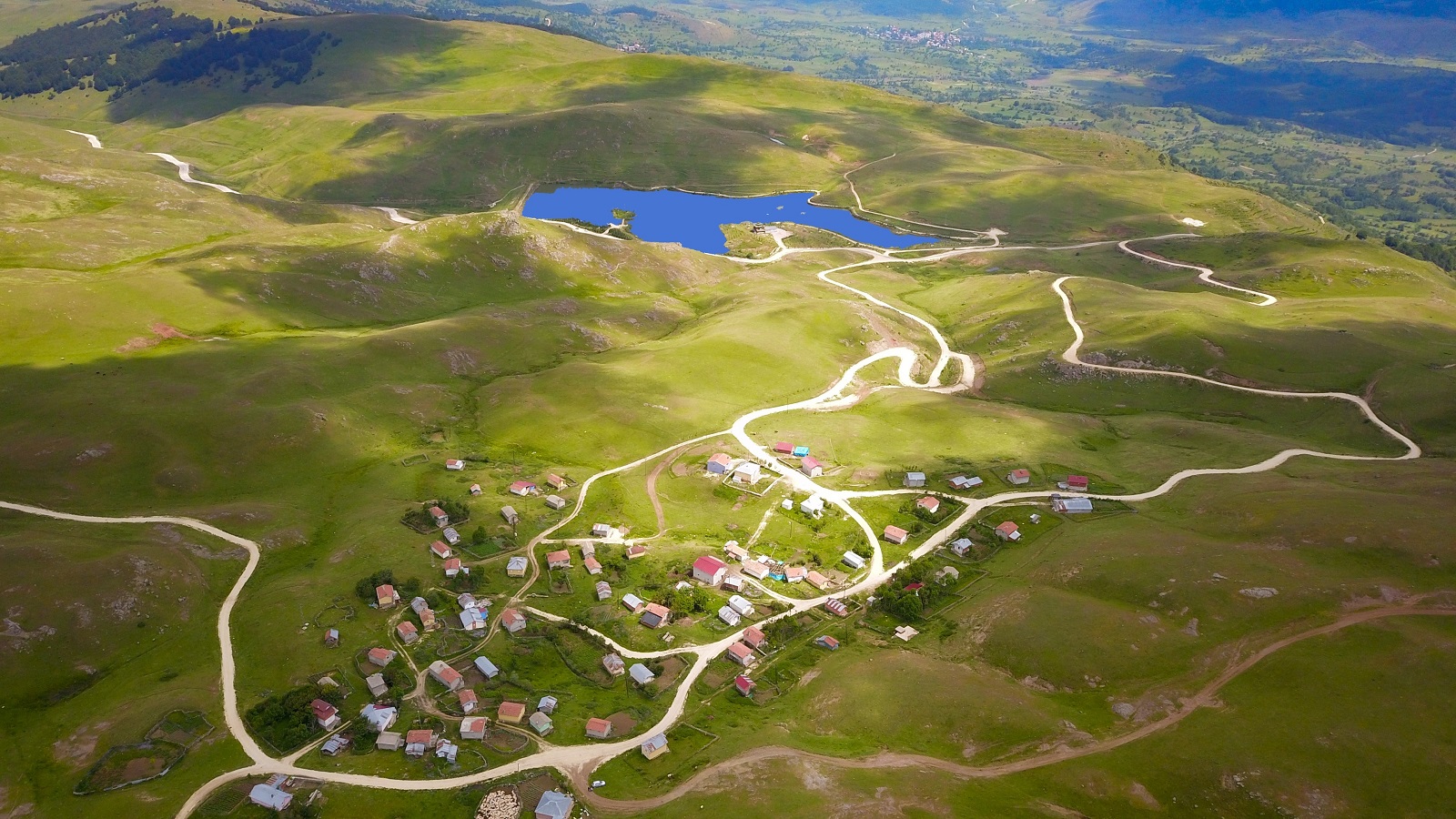
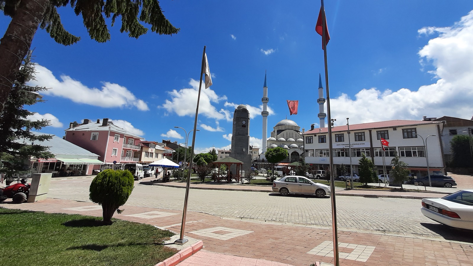
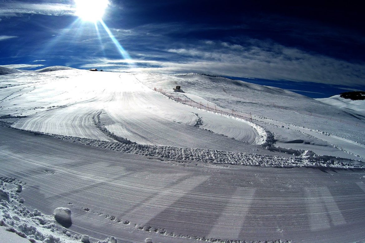
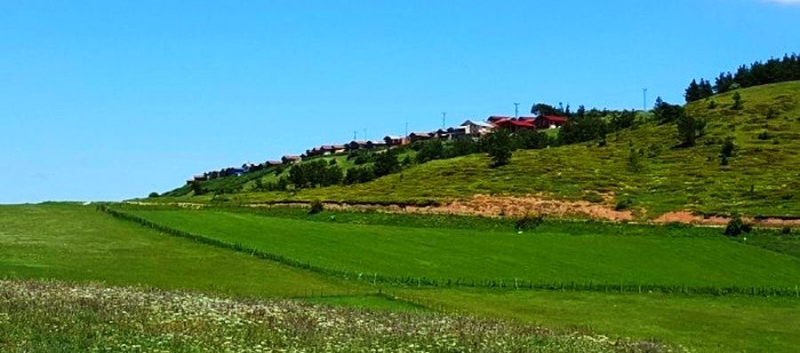
Başçiftlik is a district of Tokat. Tokat is 82 km away from the city center. According to the population results of 2020, the population of the district is 5,530 people. Başçiftlik district as a geographical location Kelkit Stream If the base of a equilateral triangle is accepted, the corners of the Reşadiye-Niksar base are located in the corner opposite Başçiftlik. In other words, Başçiftlik is surrounded by Niksar district in the north of the Aybastı district of Ordu, Niksar district to the south of Reşadiye district to the east and has a total of approximately 130 km². Approximately 37 degrees, 17 minutes with eastern meridians and 40 degrees, 28 minutes is among the north latitudes. Başçiftlik is located in the western part of the basin on the Canik Mountains. This basin expands as it goes east. This basin, which is called İskevsür Plain in the region, has nearly 15 villages and towns. The north and southern parts of this basin are covered with high hills of the Canik Mountains. Başçiftlik 8217, which has a height of 1425 meters from the sea, is surrounded by high hills where the larger hill to the west, the barn to the north, and the south of the south of the south of the south. East is covered with plain areas. This plain continues until the fertile and Bozcalı towns.