Transfers
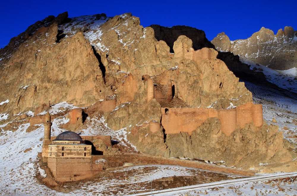
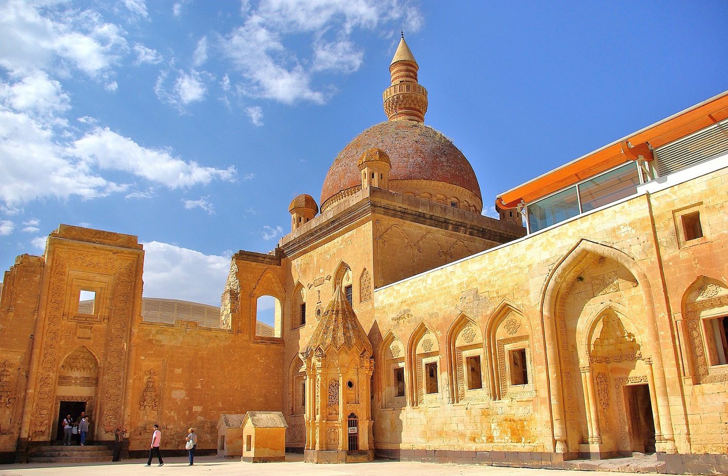
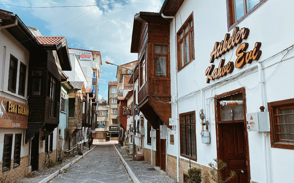
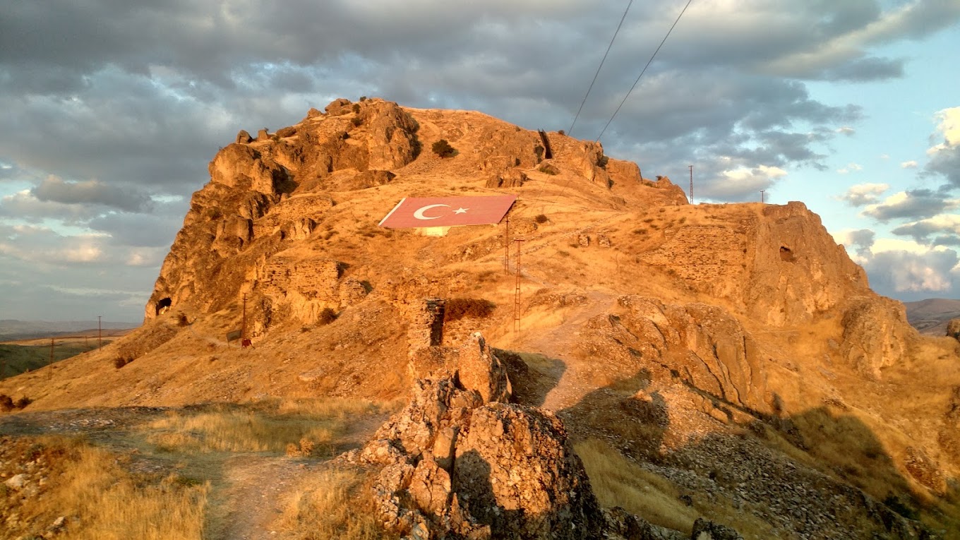
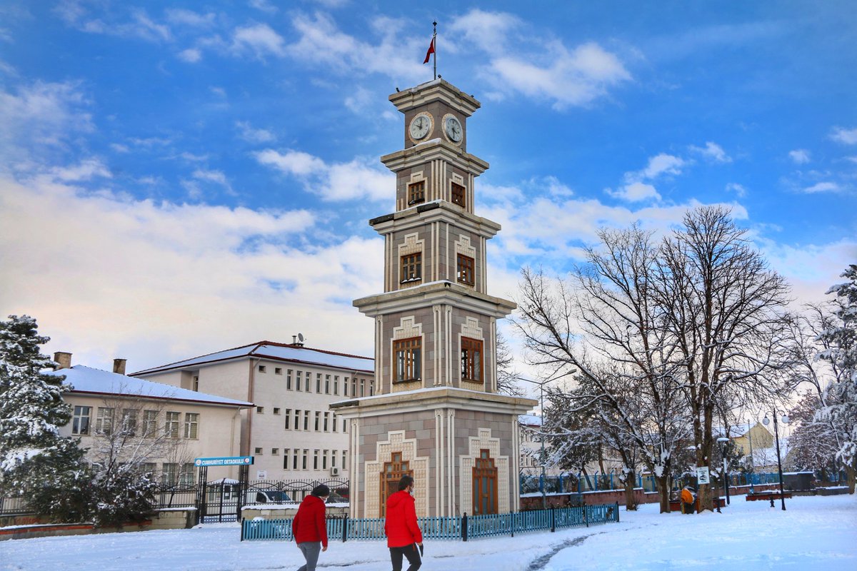
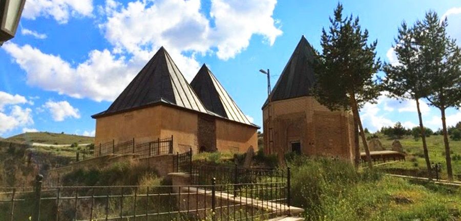
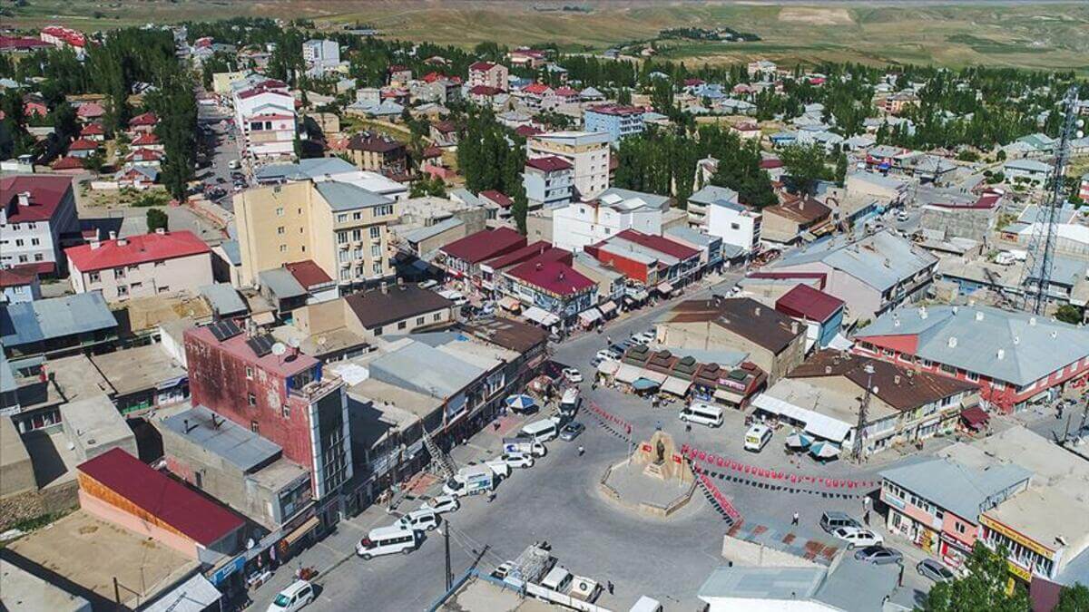
Başkale
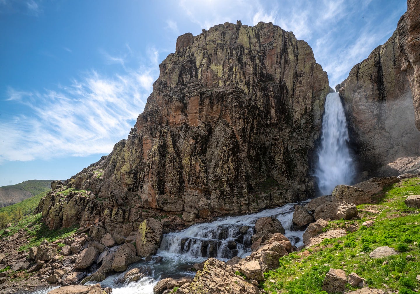
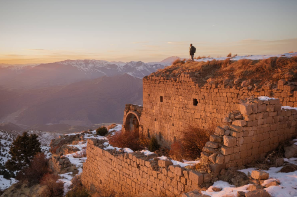
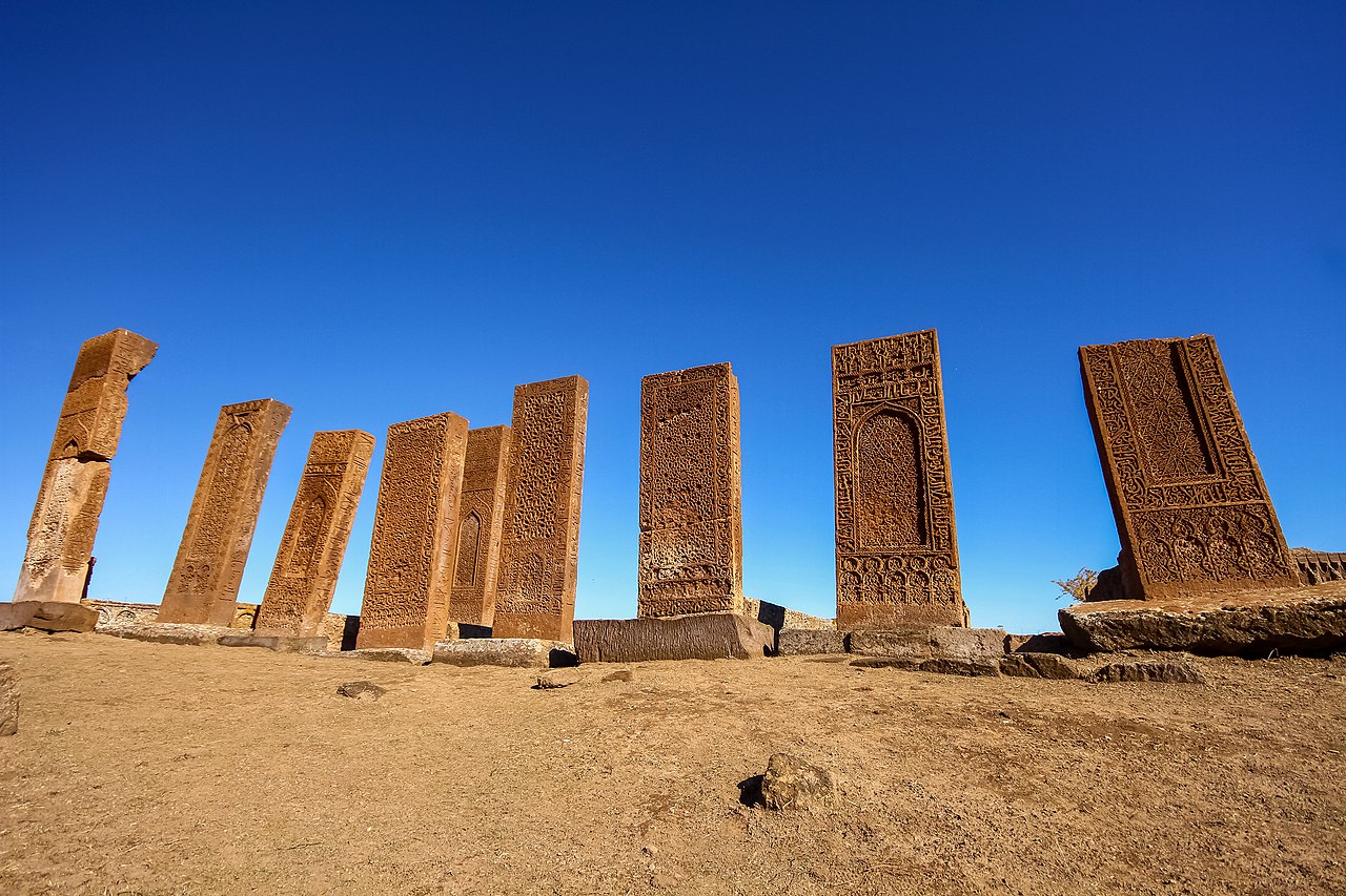
While our old name Elbak was the center of Hakkari Sanjak, which was affiliated to Van Province in 1910, it took the name Başkale after the proclamation of the Republic administration and subsequently the district organization was established. The district witnessed the settlement of the Urartians, Seljuks, and Ottomans, and after being occupied by the Armenians for about 3 years, starting from December 2, 1915, with the support of the Russians, on April 2, 1918, after the victory of the army and militia forces, it rejoined the homeland. The district is located in the southeast of Van Province, on the skirts of İspiriz Mountain, 20 km from the Iranian border and 112 km from Van Province. It is surrounded by Özalp District in the north, Hakkari Province in the south, Gürpınar District in the west, and the Iranian State in the east. Its area is 2599 km², its height above sea level is 2460 meters. Zap Suyu and Karasu are the important rivers of Başkale, and these two rivers merge within the borders of Hakkari Province and reach the territory of the Iraqi State.