
Bayat
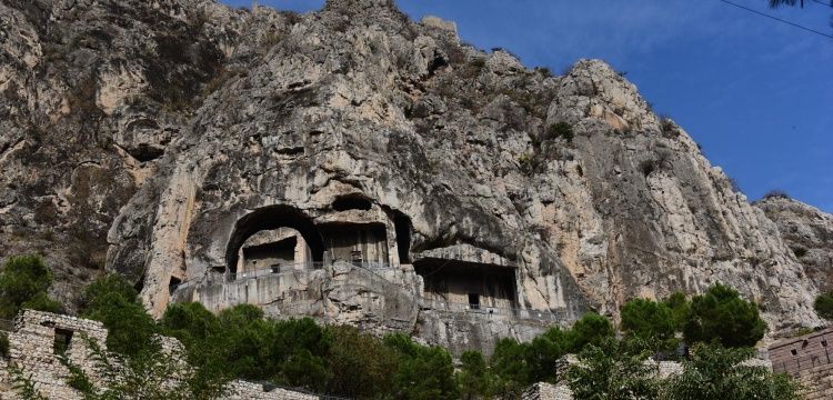
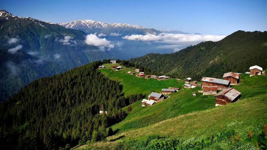
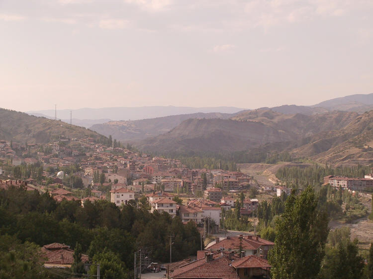
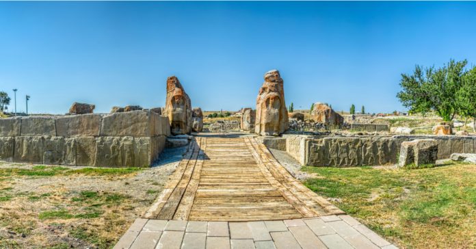
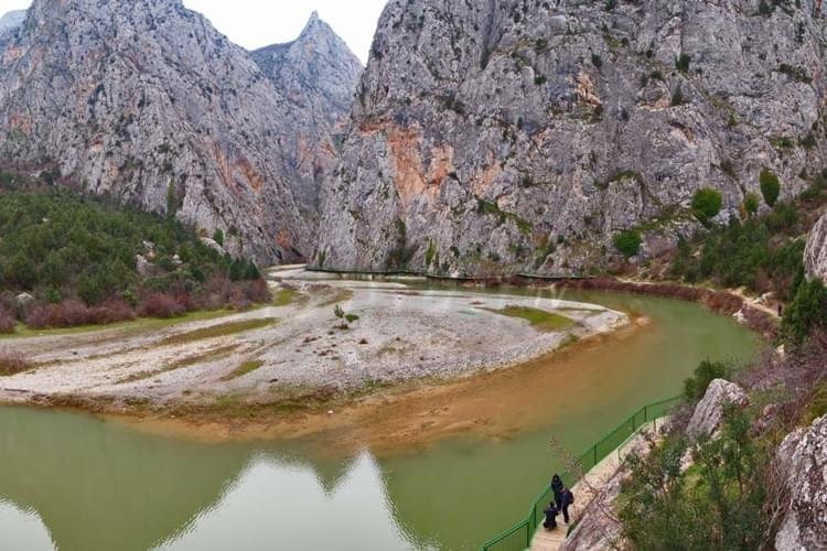
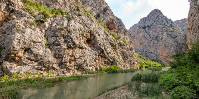
Bayat is a district of Çorum province. Bayat is a settlement dating back to the 1st century BC. Although it is thought that the rock tombs in the northeast of the city are from the near Roman period, money statues and tombs belonging to the Roman civilization are found in many places within the borders of the district. The area of the district is 770 km² and its altitude is 625 meters. It is located in the Central Kızılırmak section of Central Anatolia, with the eastern extension of the Köroğlu Mountains at the cut-off point of the Central Black Sea Region and the Central Anatolia Region. Its distance to Çorum is 83 kilometers. The annual average precipitation is 445.2 mm. The most important stream in the district is the Bayat Stream, which is fed by the snow waters from Karatepe and Öbek Hill, forming a 45-kilometer valley from north to south and pouring into Kızılırmak. In the north of the district, there is Karatepe, where Öbek Hill is located at a height of 2013 meters. As you go from north to south, the altitude decreases to 500 meters. Therefore, the north of the county is mountainous, the south is a broken, wavy and rugged terrain with clustered hills and partially plains. The Black Sea climate prevails in the mountainous and forested areas in the north of the county, and the continental climate prevails in the south. The district is located in the transition zone between the two climates. For this reason, summers are hot and dry, and winters are cold and snowy. Precipitation is not regular, it receives the most precipitation in the spring season. The mountainous part of the district is generally covered with pine and oak forests. On the plain part, there are steppes. The oxygen reservoir of the district is the Karatepe forest area.