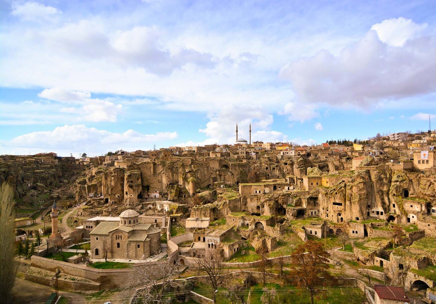
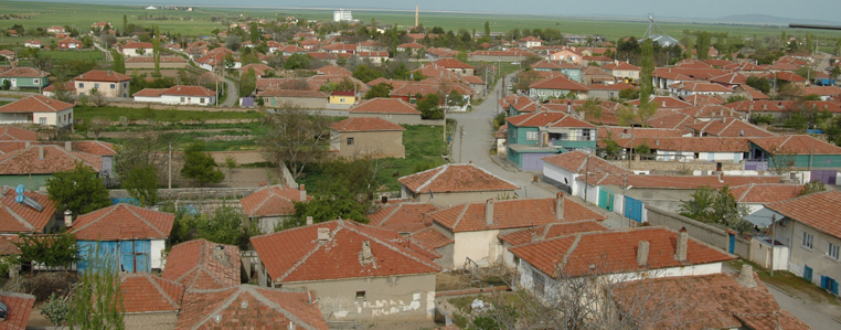
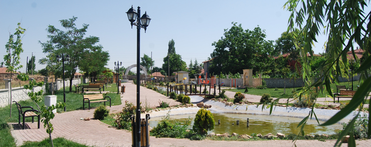
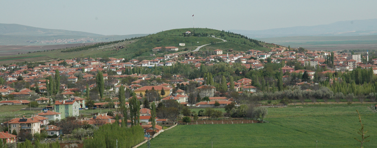
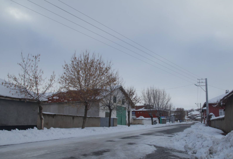
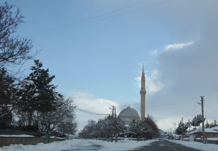
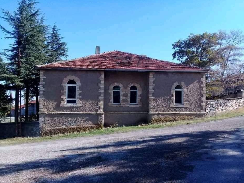
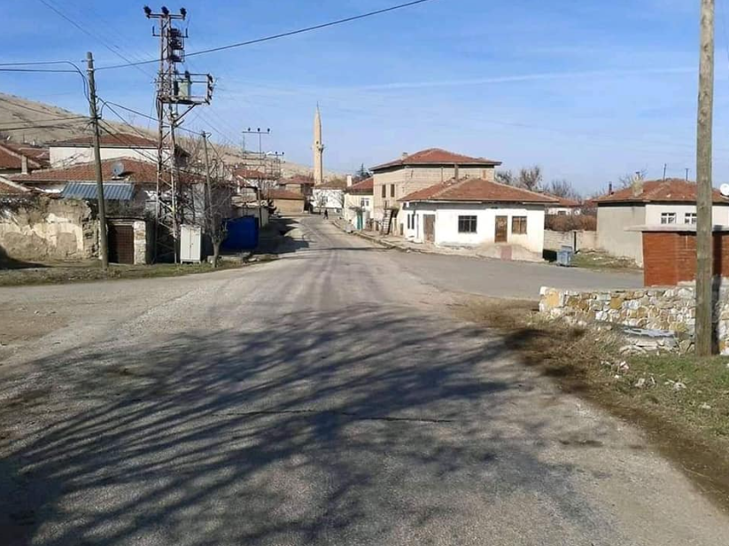

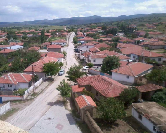


Boztepe
Boztepe, which became a district on 20.05.1990 with the law numbered 3644, was established on a wide plateau in the 1700s. The history of the district is BC. It is estimated to date back to 3000 BC. Boztepe is located 15 km from Kırşehir city center. With this feature, it is the closest district to Kırşehir city center. While the total population of the district was 10 thousand 639 in 1990, it decreased to 10 thousand 189 in 2000 and 5 thousand 679 in 2010. There are 3 neighborhoods in the district. These are: Bağbaşı District, Yeni Mahalle and Orta Mahallesi. Boztepe district is surrounded by Çiçekdağı in the north, Kırşehir center in the west, Nevşehir in the east and Mucur in the south.