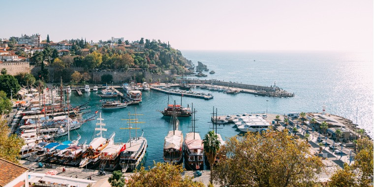
Transfers
Bozyazı
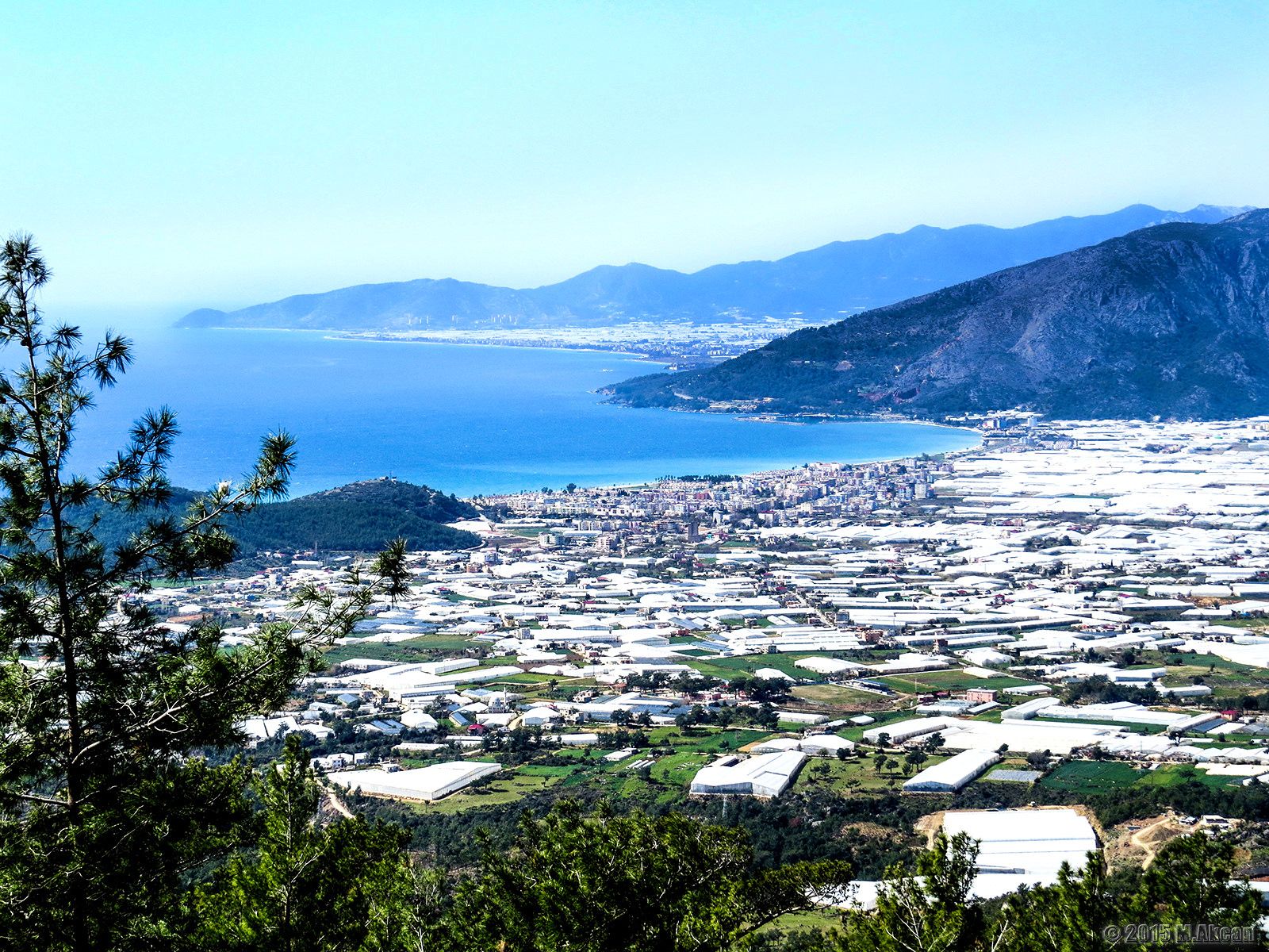
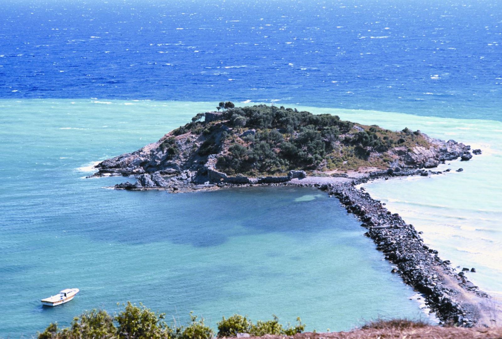
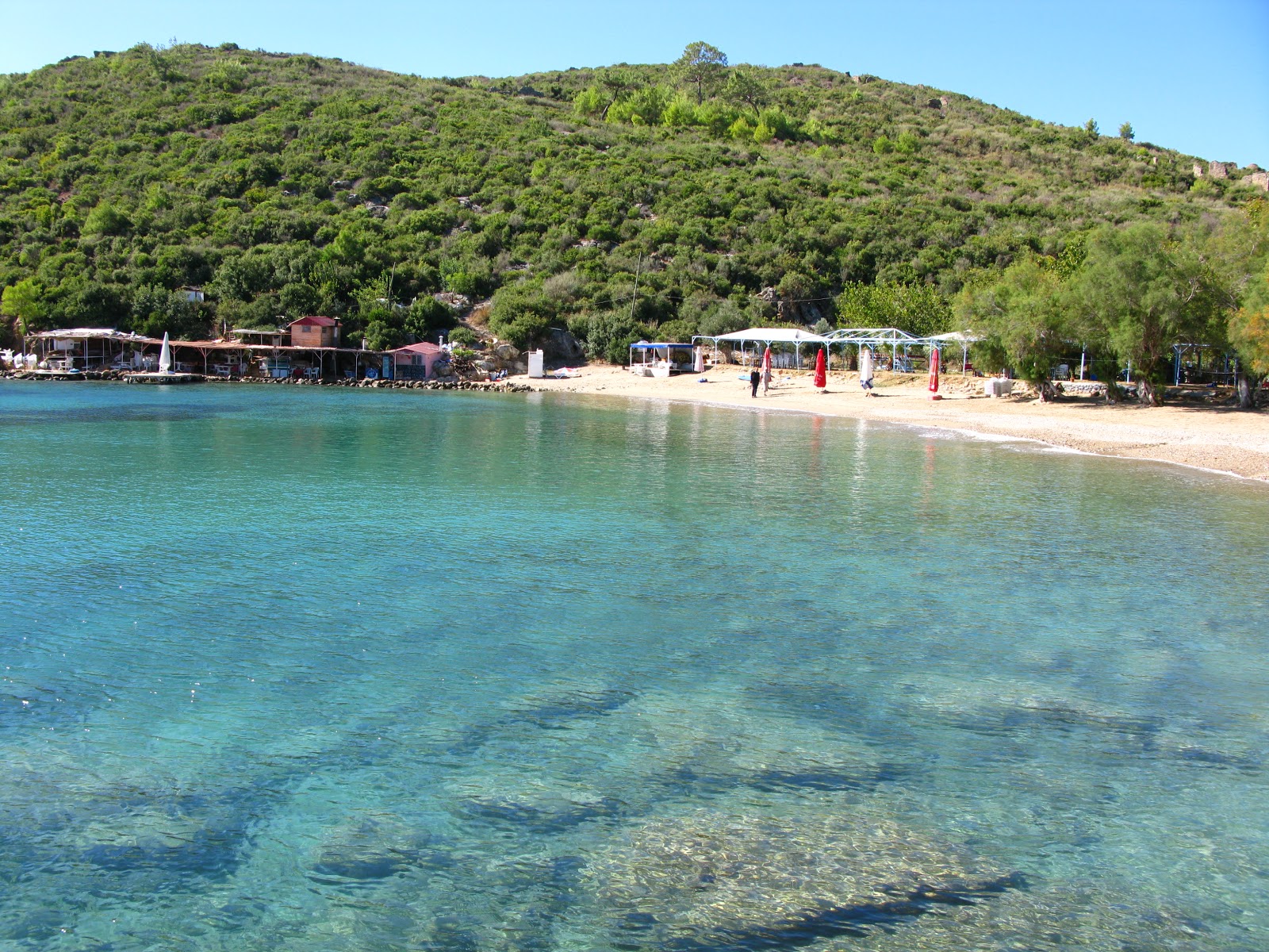
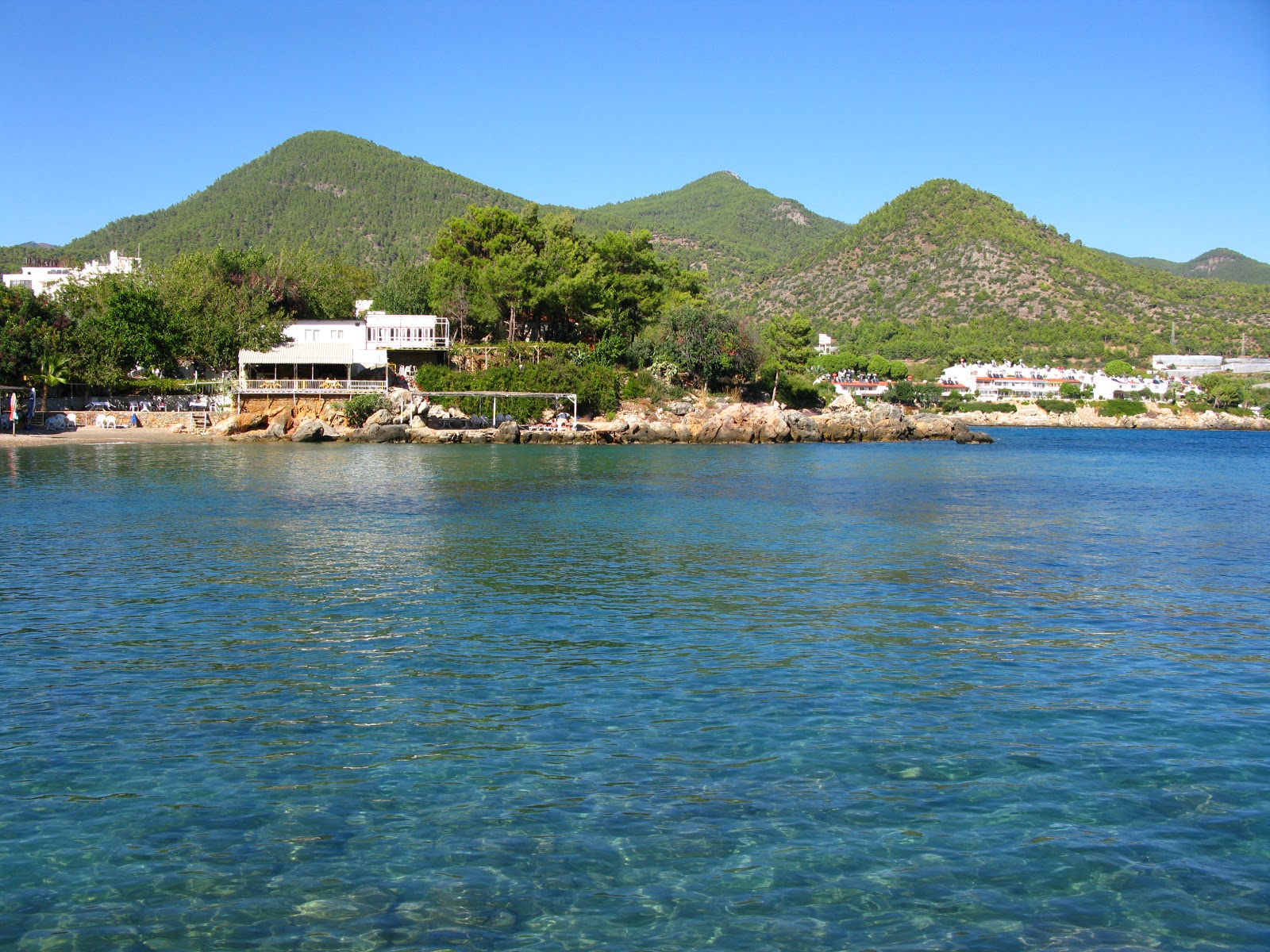
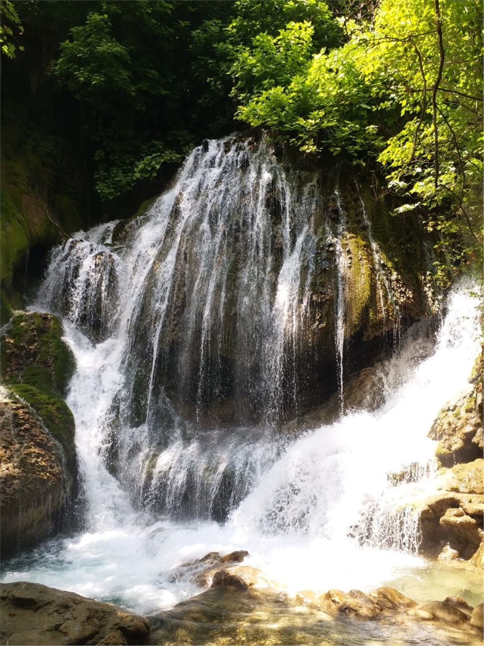
Bozyazı is a small and typical Mediterranean town located at the foot of the Taurus Mountains at the southern tip of Turkey. Since Bozyazı is far from crowded cities and holiday centers, mass tourism has not yet reached here. The district also has an island called Nagidos Island.
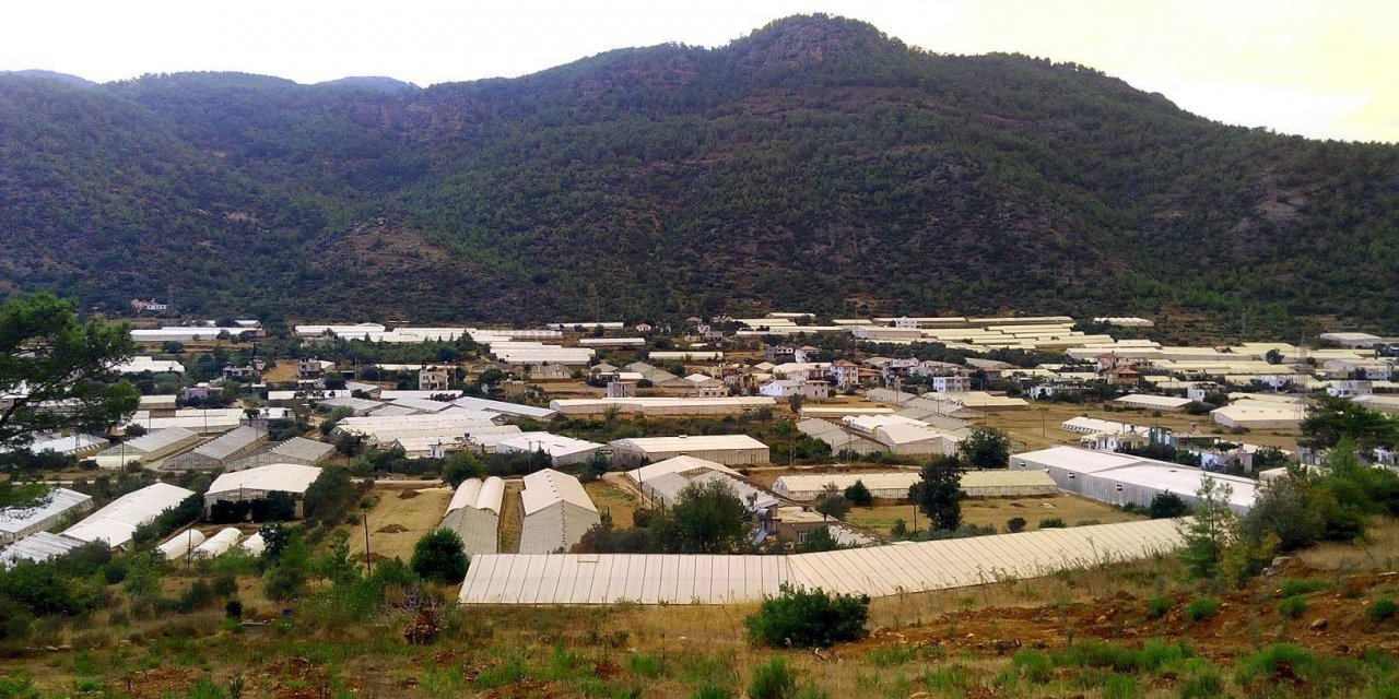
The fact that Bozyazı hosts an important colony of Mediterranean Seals, whose coasts are in serious danger, is a clear indication that the sea in Bozyazı is quite clean. Although the agricultural areas are not very large in Bozyazı, with its mild climate and fertile soil, Bozyazı's most important income source is banana and strawberry farming. In addition, other sources of income are orange cultivation, peanut farming and fishing.
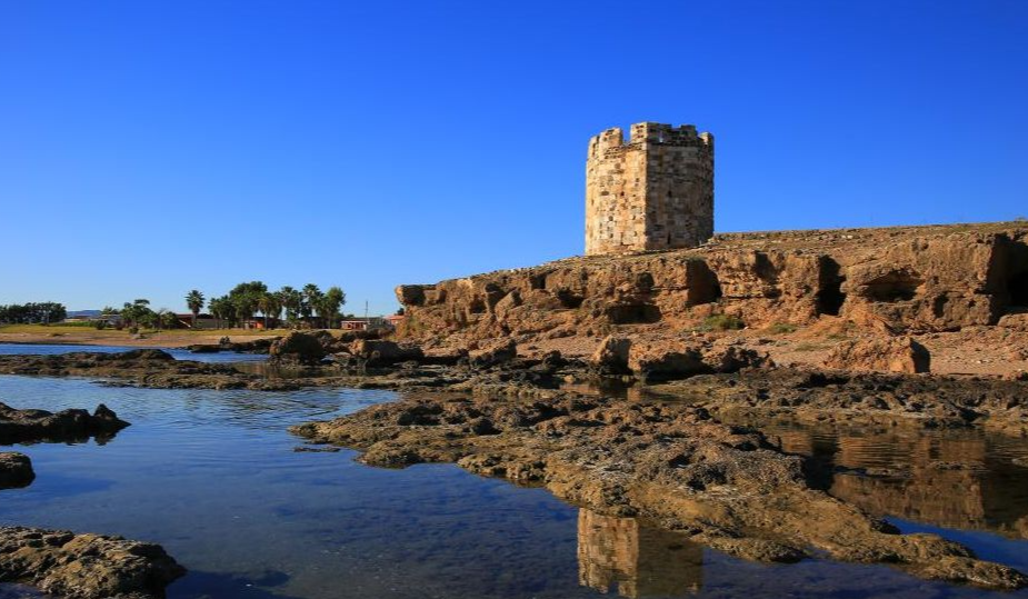
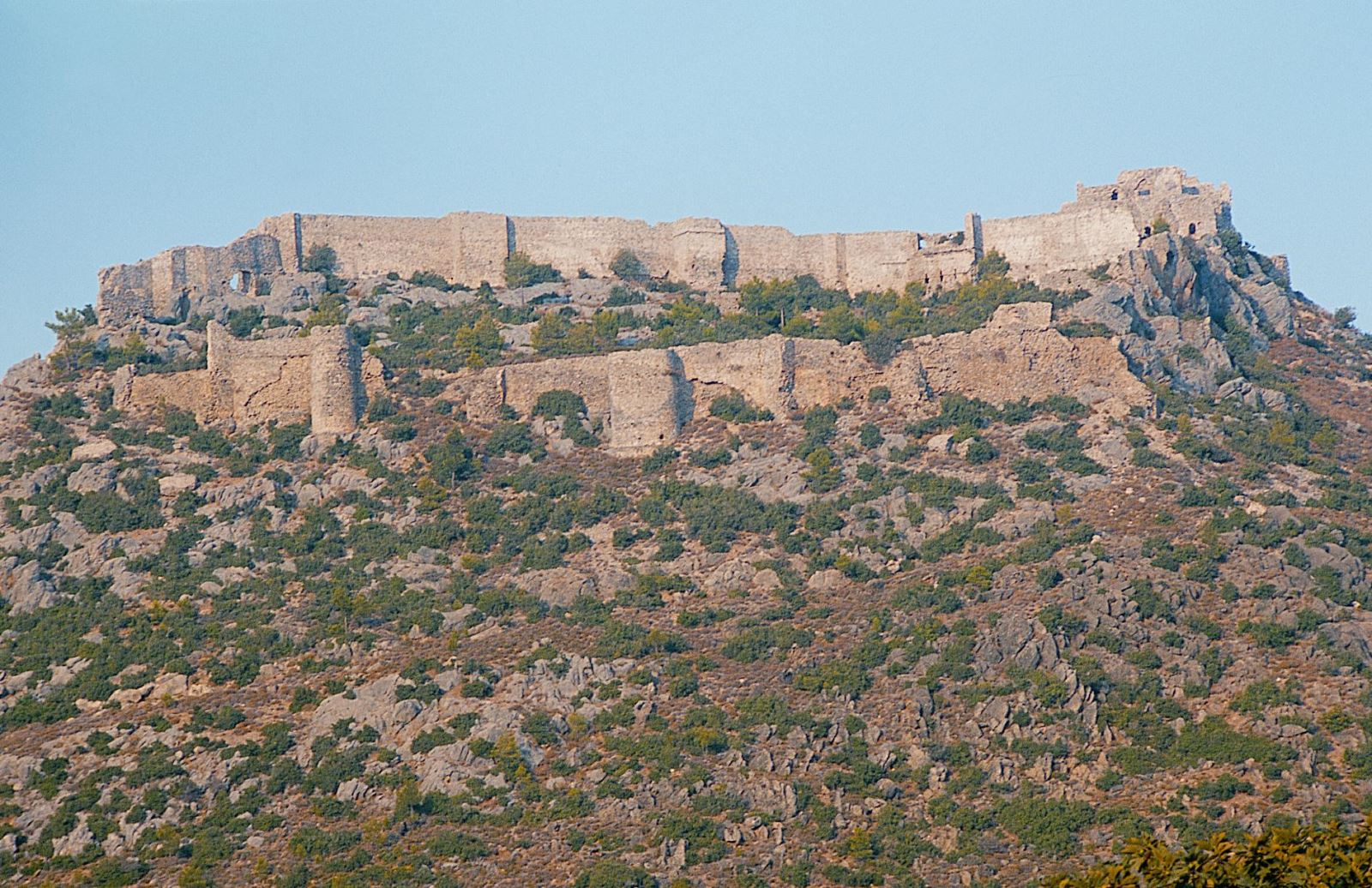
Bozyazı has historical riches as well as natural riches. In the center of Bozyazı, there are the ruins of the ancient city of Nagidos on the Paşabeleni hill. Systematic excavations were carried out here for 5 years by Mersin University Archeology Department. With the excavations carried out in 2002, it was proved that an important civilization was found in the Hellenistic period, and hints were found that commercial connections were established with important cities of the ancient period such as Egypt, Samos, Cyprus, Rhodes, Knidos, Soli, Miletus and Ephesus. The intense discovery of ceramics, coins and figurines from the Archaic, Classical and Hellenistic periods is of great importance not only for Nagidos, but also for the Mountainous Cilicia region, which is quite dark in terms of culture, art and history.
Geography
Geographical position:
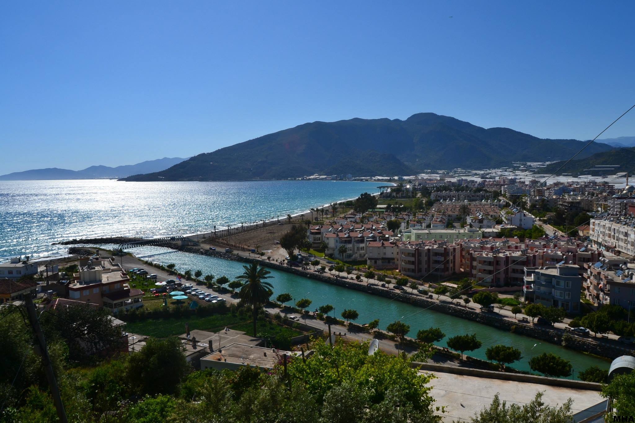
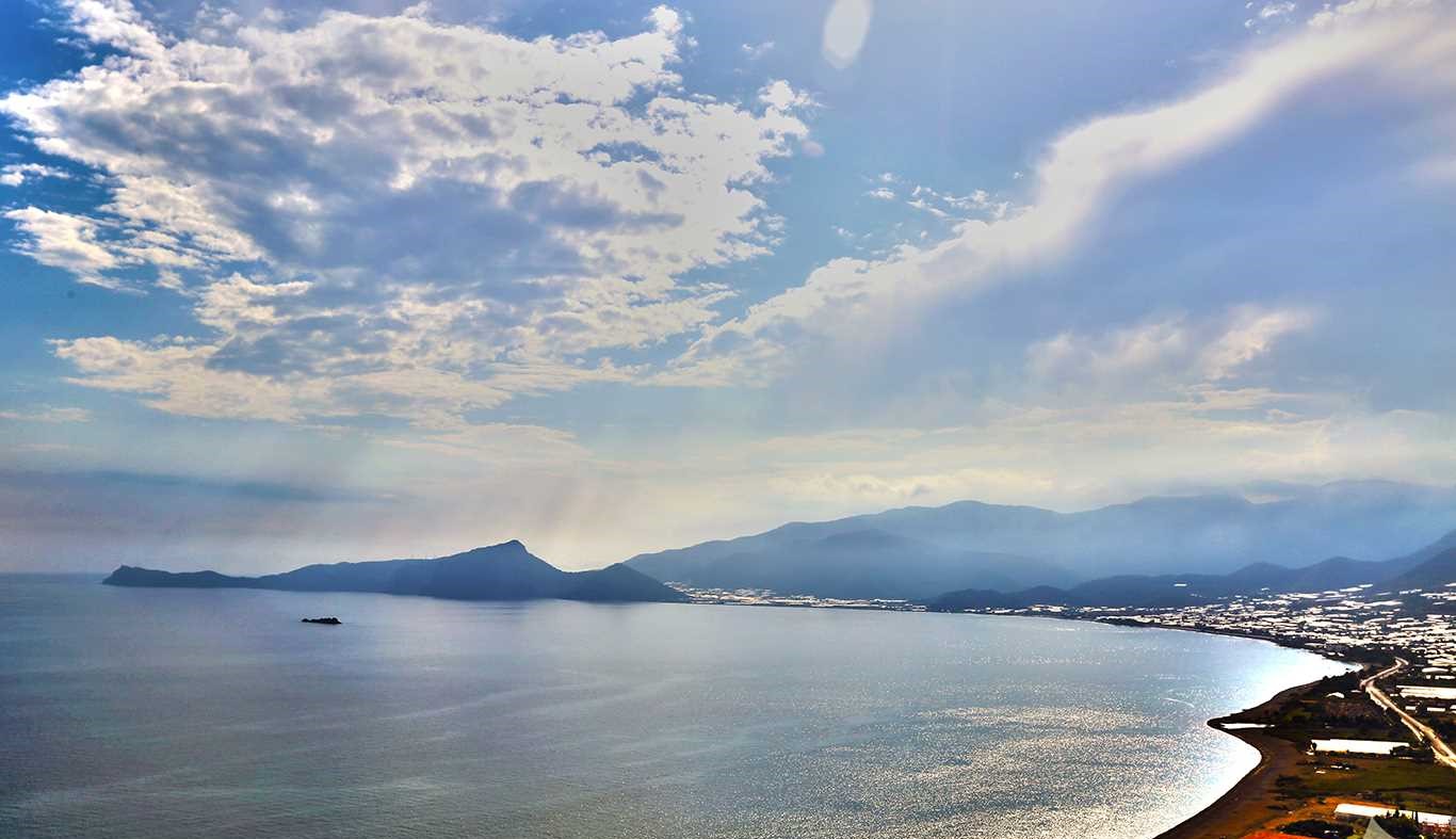
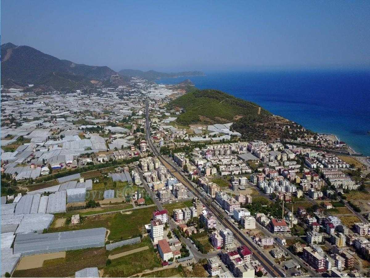
Bozyazı District is located on the Mediterranean coast at the foot of the Taurus Mountains. It is surrounded by Aydıncık in the east, Anamur in the west, Gülnar and Ermenek districts in the north, and the Mediterranean Sea in the south. The area of the district is 566 km², the altitude is zero at sea level and 1760 m at its highest point. It has approximately 25 km of coastline. Important streams; It is the Sini Stream, which flows through the town center and flows into the sea, and the Aksaz Stream, which is located between the towns of Tekeli and Tekmen.
Bozyazı has an area of 700 km² and is surrounded by Aydıncık and Gülnar in the east, Anamur in the west, Ermenek district in the north, the Mediterranean Sea in the south and is 220 km away from Mersin on the Mersin-Antalya highway. The district is located on the Pasha Beleni Hill, which dominates the surroundings, in the V or IV. It was established as a colony by the inhabitants of Samos in the 19th century. The city was named Nagidos because of its founder, Nagis of Samos.
Landforms:
The lands of the district are generally mountainous, with less rough and plain lands. Tol Mountain (1250 m.) to the east, Azıtepe (1.500 m.) to the west, Susmak Mountain (1.600 m.) to the northeast, Kas Mountain (1,639 m), Elmakuz Mountain (1,690 m) are located. Kozağacı, Tersakan, Elmagözü and Kızılca Plateaus are located at the foothills and valleys of these mountains. Bozyazı (Sini) Stream passes through the center. In addition, a small island near the coast with historical ruins on it was connected to the land by a walkway between 1982 and 2009. Pirate Island (nagiduda) In 2009, the filling was removed and regained its old form.
Streams:
Bozyazı Stream (Sini Stream) is the biggest stream of the district and is born at the foot of the Elmakuz and Söğüt Mountains and flows wildly from a rocky valley. Bozyazı Stream, which joins with the springs originating from Kızılca and Dereköy locations, empties into the sea in the south. It is 14 km north of the county. Electricity is produced by establishing a dam on Bozyazı Stream at a distance. Aksaz Stream merges with Karapınar Stream, which originates within the borders of Bahçekoyagi Village, which arises from the common borders of Bahçekoyagi, Tekmen and Akyaka villages, and flows into the sea after passing through the Aksaz plain.
Gözce Stream is fed by two branches. The first branch of the creek is the Gözce branch, which is named after the neighborhood, and the second branch is the Buruklar branch, which originates from the Pembecik neighborhood of the Aydıncık district. The water regime of the stream is not regular.
History
Pasha Beleni Hill, which forms the core of Bozyazı, was built in V. and IV. It was established as a Rhodes or Samos colony in the 19th century. The first name of the city is Nagidos, after its founder, Nagis. It has always been a trade center. There are artifacts from the Egyptian, Byzantine and Seljuk periods. Its small harbor is an ancient city used for commercial purposes. Just south of the city, which has wall ruins in places, is Tagiduda Island, which has building remains from later periods. The city cemetery is located on the sea shore of the plain to the west of the hill. The terracotta sarcophagi found were recovered during the rescue work. While Bozyazı was a municipality affiliated to Anamur until 1987, Bozyazı was given the status of district in 1987 with the inclusion of the villages of Agzikara (Ağzara), Gürlevik, Denizciler, Çubukkoyagi.
The history of Bozyazı, known as "Nagidos" in Antiquity, dates back to ancient times. Nagidos, which is thought to have been founded by Nagis of Samos in the 5th century BC, is on the hill known today as Paşabeleni.
From the city, about which we have very little information, the city walls near the summit of the Paşabeleni hill have survived. Hittites, Assyrians, Lydians, Persians, Romans, Byzantines, Abbasids, Seljuks, Armenians, Karamans and Ottomans ruled in the district. Bozyazı came under Ottoman rule after Fatih Sultan Mehmet annexed the Karamanoğulları Principality to the Ottoman lands.
Bozyazı name; It is named after the plain in the south of the Gürlevik region, called "Bozalan", "Bozova", "Bozyazı" meaning "barren plain". Before irrigated agriculture was practiced, the people used these words to emphasize the barrenness of the region.
The islet of Nagidos, which is now connected to the land by a road, was a part of this ancient city. Bozyazı became a district in 1988.
Like Nagidos Kelenderis, the ruins of Nagidos, one of the oldest cities in the region, are on a hill close to the coast in Bozyazı county. The ruins that have survived from the city, about which we know very little, consist of the walls near the summit of this hill. It is also understood that the first form of the bridge over Bozyazı Stream was built in the Roman Age. In addition, the remains of a waterway and the foundations of a bath can be counted among the remains of the Late Roman and Byzantine Ages.
Ancient sources state that Nagidos was also colonized by the Samians, like Kelenderis. It is understood from the satrapy coins minted during this period that Nagidos was under Persian rule in the 5th and 4th centuries BC. Although it was under the influence of the Ptolemies in Egypt in the Hellenistic Age, the pirate pressures that followed caused the city to weaken. In the Middle Ages, however, it is understood that the settlement was insignificant and concentrated only on the island of Bozyazı (Nagidussa), which is very close to the shore.