
Çamardı
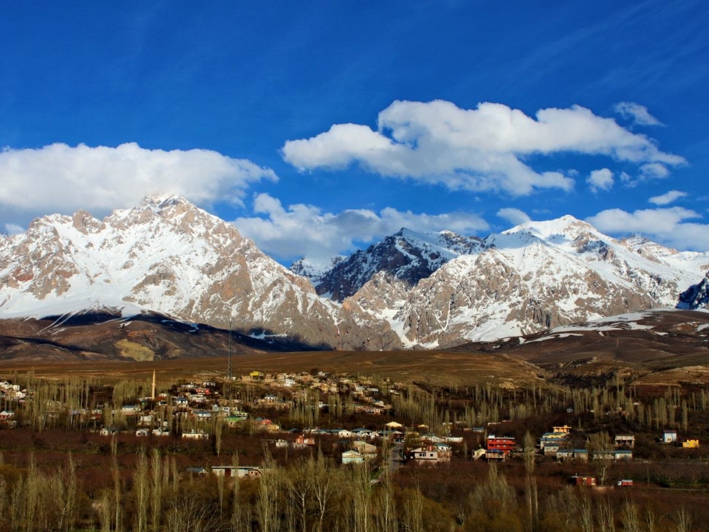
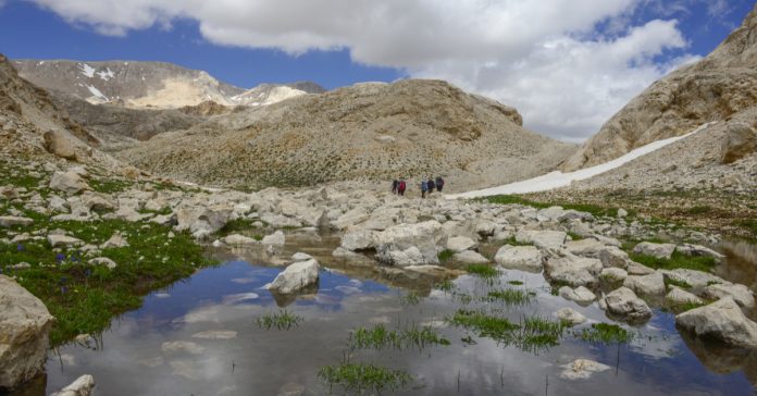
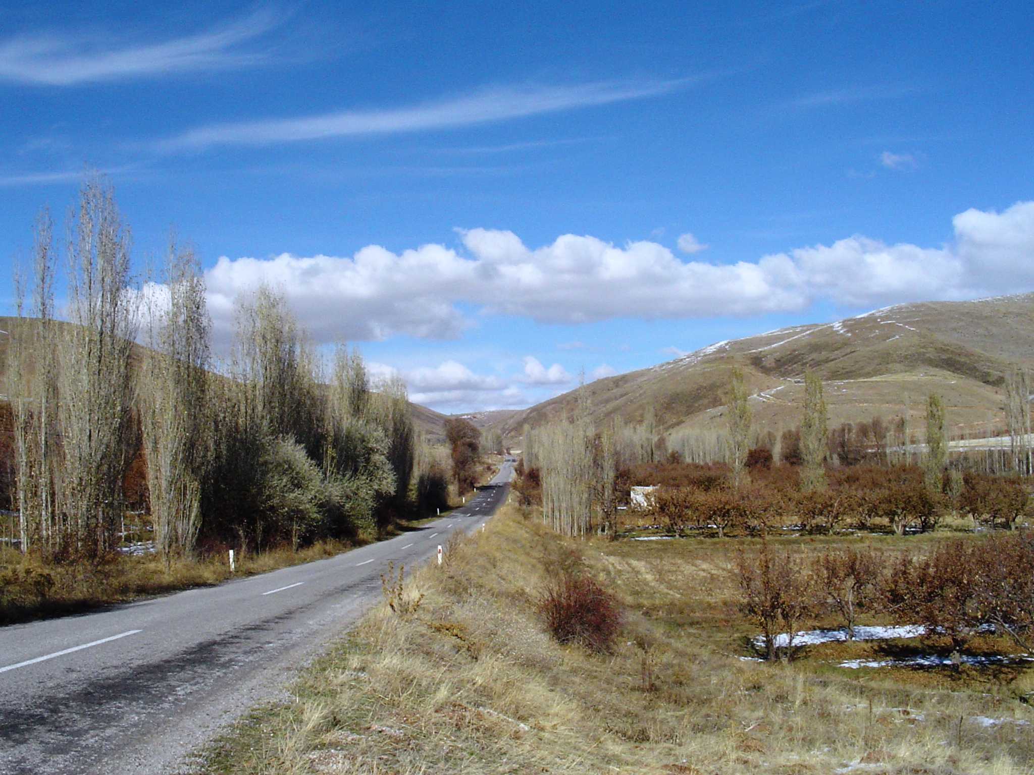
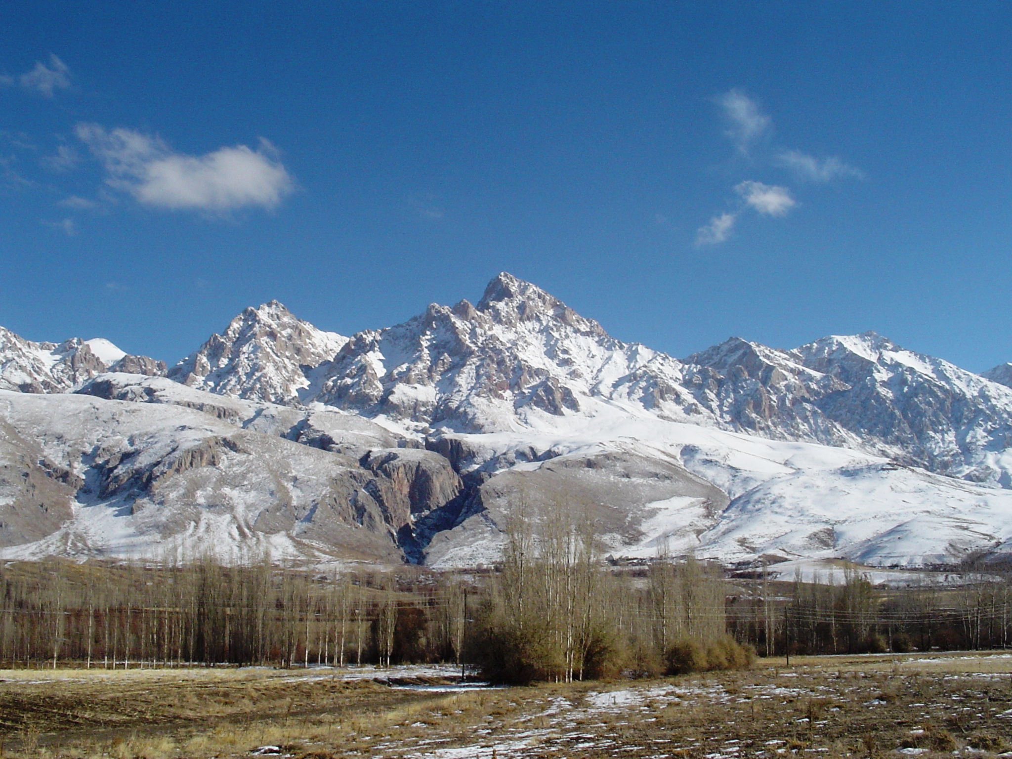
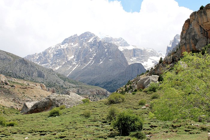
Çamardı is a district of Niğde province. There are 20 villages connected to the central district. Its area is 1204 km² and its population density is 14. The territory of the district is mountainous. Aladağlar, which is an extension of the Central Taurus Mountains, covers the entire territory of the district. The highest point is Demirkazık Hill and it is 3756 meters. Its main stream is Ecemiş Stream. There are hardly any plains in the district. Its economy is based on animal husbandry. Agriculture is done on a limited scale. The main agricultural products are cereals and legumes. Fruit growing is common, mostly apples are grown. There are iron, zinc, leaded zinc and antimony deposits on the territory of the district. These mines are operated by private and public institutions. In addition, Demirkazık Hill is the center of attention of tourists and mountaineering is developed. There is a mountain hotel serving tourists at the foot of the hill. The town center was established in a narrow valley at the foot of Demirkazık Hill. It is 69 km from the city center. It is 1250 meters above sea level. People go to Üç Kapılı Plateau, where the weather is very nice in summer. Its former name is Bereketli Maden. The municipality of Çamardı, which became a district in 1948, was established in 1927.