
Çatalca
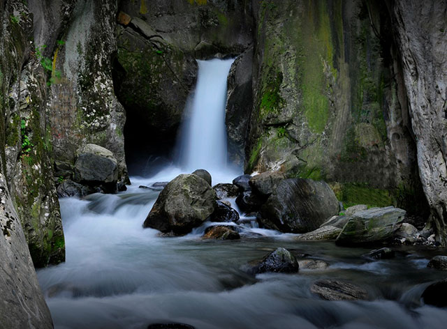
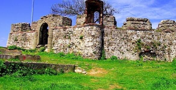
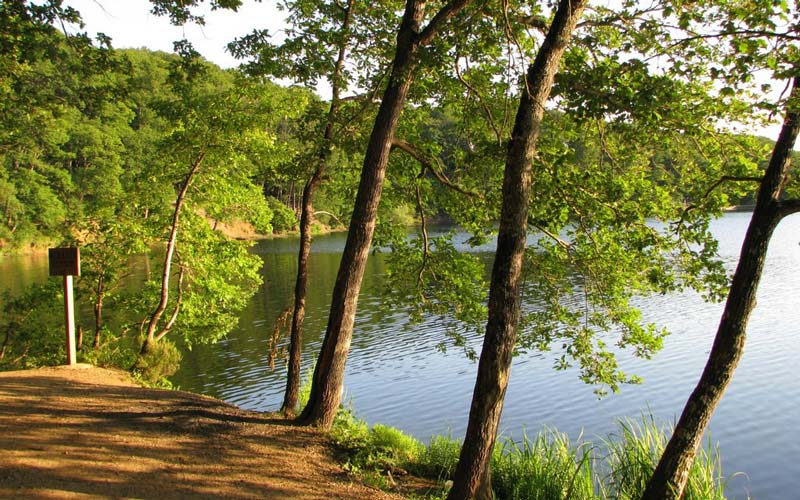
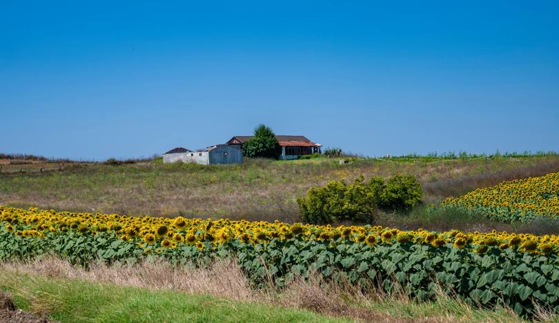
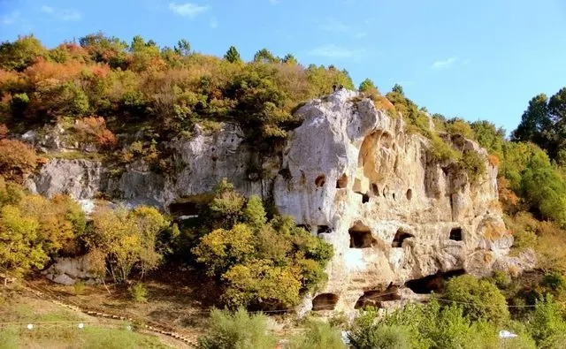
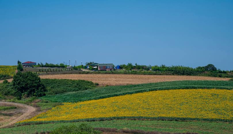
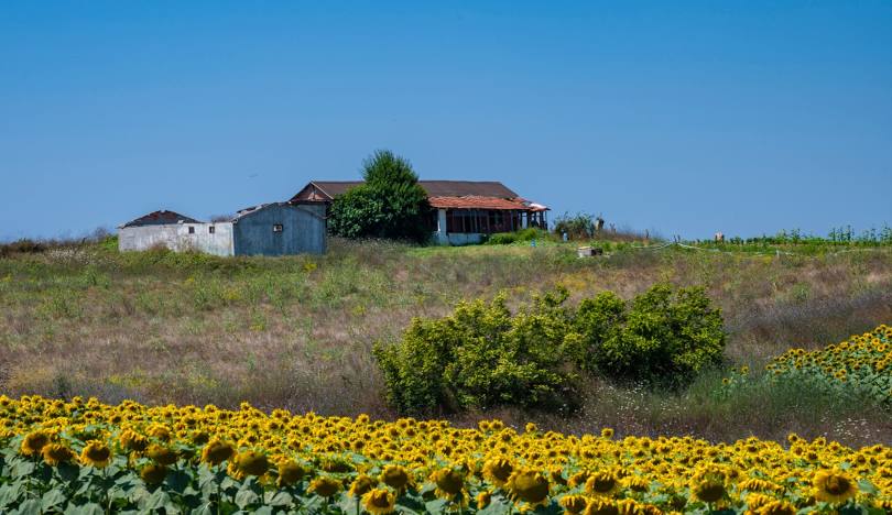
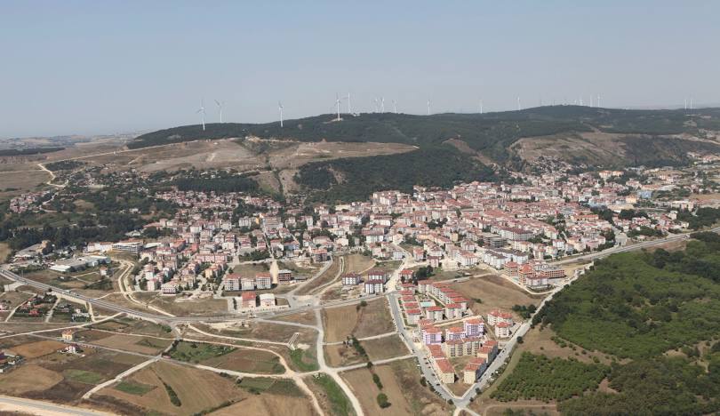
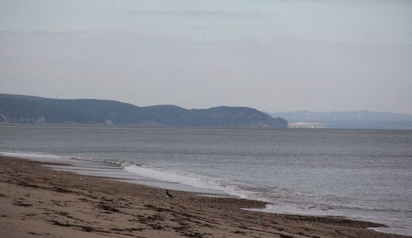
Çatalca is a district located on the western border of Istanbul province. It is the largest district of the province in terms of surface area and the smallest district of the province in terms of population, after Adalar and Şile. In 1865, in the provincial regulations made after the Tanzimat, it was connected to the Parliament-i Idare-i Liva-yı Zabtiyye. It was made the provincial center in 1924 by the order of Mustafa Kemal Atatürk. With the law dated June 26, 1926, it became a district again and was connected to Istanbul. It is a Greek colony founded under the name Ergiske, near Doriscus, in the lands of the Thracian people, who gave their name to Thrace in ancient times. It was called Metrai or Metris during the Byzantine period and Hanice by the Greeks before the Ottoman conquest. It has been suggested that the name Ergiske is related to Ergiscus, the son of Poseidon in Greek mythology, and the name Metris is related to Ayametris, one of Alexander's generals. A view from Çatalca Cave (October 2019) The surface area of Çatalca, which is mostly covered with forest and is 55 km away from the city center, is 1715 km². The length of the coast reaches 135 km. It is adjacent to Büyükçekmece in the south, Silivri and Saray district of Tekirdağ province in the west. Its neighbor in the east is Arnavutköy district. There are a total of 39 neighborhoods within the district borders. On the Black Sea coast of the district, there are forest-covered elevations that are a continuation of the Yıldız Mountains. Fertile plains begin in the south of these. Istanbul's drinking water is provided from Durusu Lake and Büyükçekmece dam lake within the district borders. There are many large and small streams that carry water to Durusu Lake, especially Yıldız Stream.