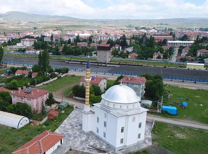
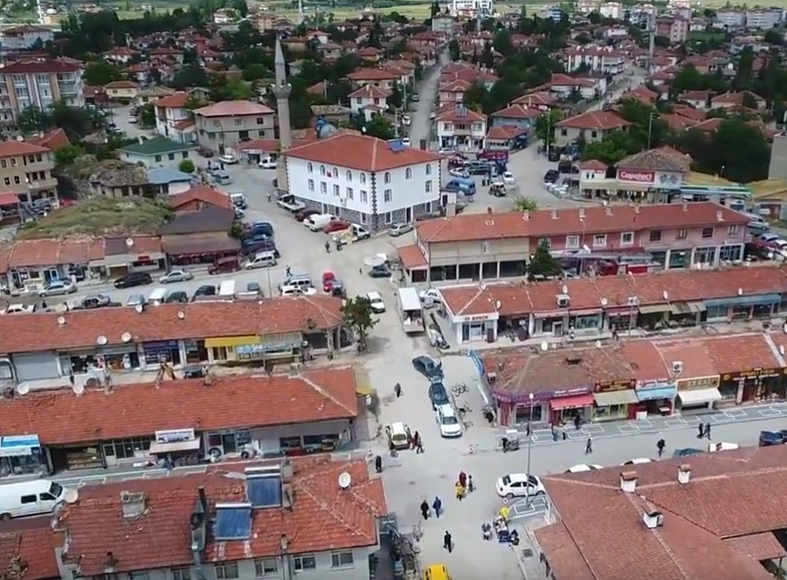
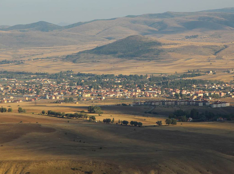

Çerkeş
Çerkeş is a district of Çankırı province. Çerkeş, which has an old history, is a district of Çankırı province and the town center of the district established on the plain where Ulusu Stream (Ulu Çay) flows in the south. The district, with a surface area of 990 km², is surrounded by Ovacık in the north, Bayramören in the northeast, Atkaracalar in the east, Orta districts in the southeast, Bolu (Gerede) and Karabük (Eskipazar) provinces in the west, and Ankara (Kızılcahamam) province in the south.
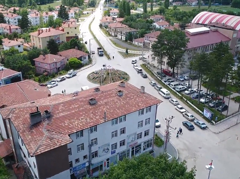
The district center was established at an altitude of 1140 meters from the sea, at the intersection of 40° 48' North latitude and 32° 53' East longitude. The main elevations of the district are Işık Mountain at an altitude of 2015 m in the south, Dumanlı Mountain in the southeast, Karataş and Kütüklü Mountains at an altitude of 1875 m in the southwest, Çal Plateau at an altitude of 1432 m in the north, Derviş Tepe and Kocadağ at an altitude of 1760 m in the northeast.
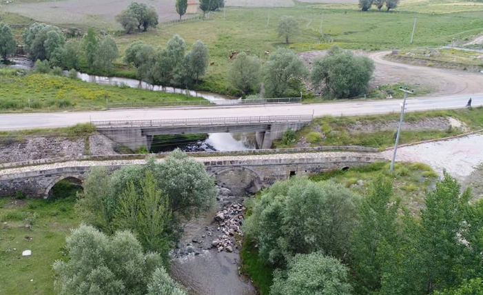
The Zonguldak-Ankara railway passes through the district center. In addition, the Istanbul-Samsun state highway, which passes just north of the district center, and the provincial road, which crosses the Işık Mountain pass (1711 m) in the south and leads to the Ankara-Istanbul state highway in Kızılcahamam, are the main roads connecting the district to Ankara, Istanbul and other cities.
The city center of Çerkeş district is 85 km from Çankırı and 128 km from the capital Ankara.