


Çifteler
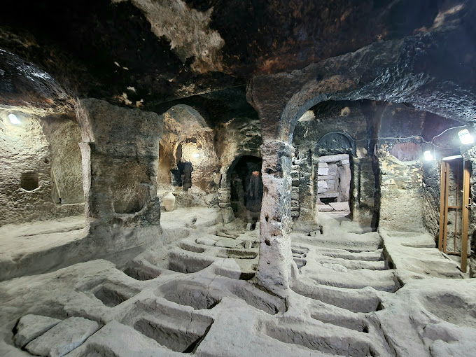
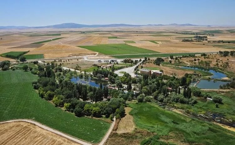
Çifteler is a district of Eskişehir province. It is the first center of Çiftlikât-ı Hümayun or Mahmudiye Farm, which was established around 1815 in the name of Sultan Mahmut. Later, the administrative center was moved to the present Mahmudiye district. The district, known as Çifteler Village in the Republican period, became the center of Çifteler with the law numbered 6821, dated 28 June 1954, enacted in 1954. Its area is 820 km2. Its average altitude is 875 meters. Summers are dry and hot, winters are cold and dry, and spring and autumn are cool and rainy. Irrigated agriculture is carried out on 14.000 hectares of 61.850 hectares of agricultural land in the district and dry agriculture is carried out on 47.580 hectares. 1755 hectares is forested. Houses in the district are generally single and 2-storey (adobe, brick) and detached. In recent years, the construction of 3 or 4 storey reinforced concrete buildings, including the ground floor as a shop, has increased. According to the municipality zoning plan, the construction of buildings up to a maximum of 5 floors is allowed. There are two large cave entrances in Sarıkayalar, on the eastern side of Sakarya river (Sakarya river). In the first, there are signs of crosses and cut rocks. The entrance roads were blocked by landslides and soil filling, and there are remains from the Phrygian times called Hamam Rock. The foundations of a hammam with an indoor pool and another hammam with an outdoor pool in front of it have survived to the present day.