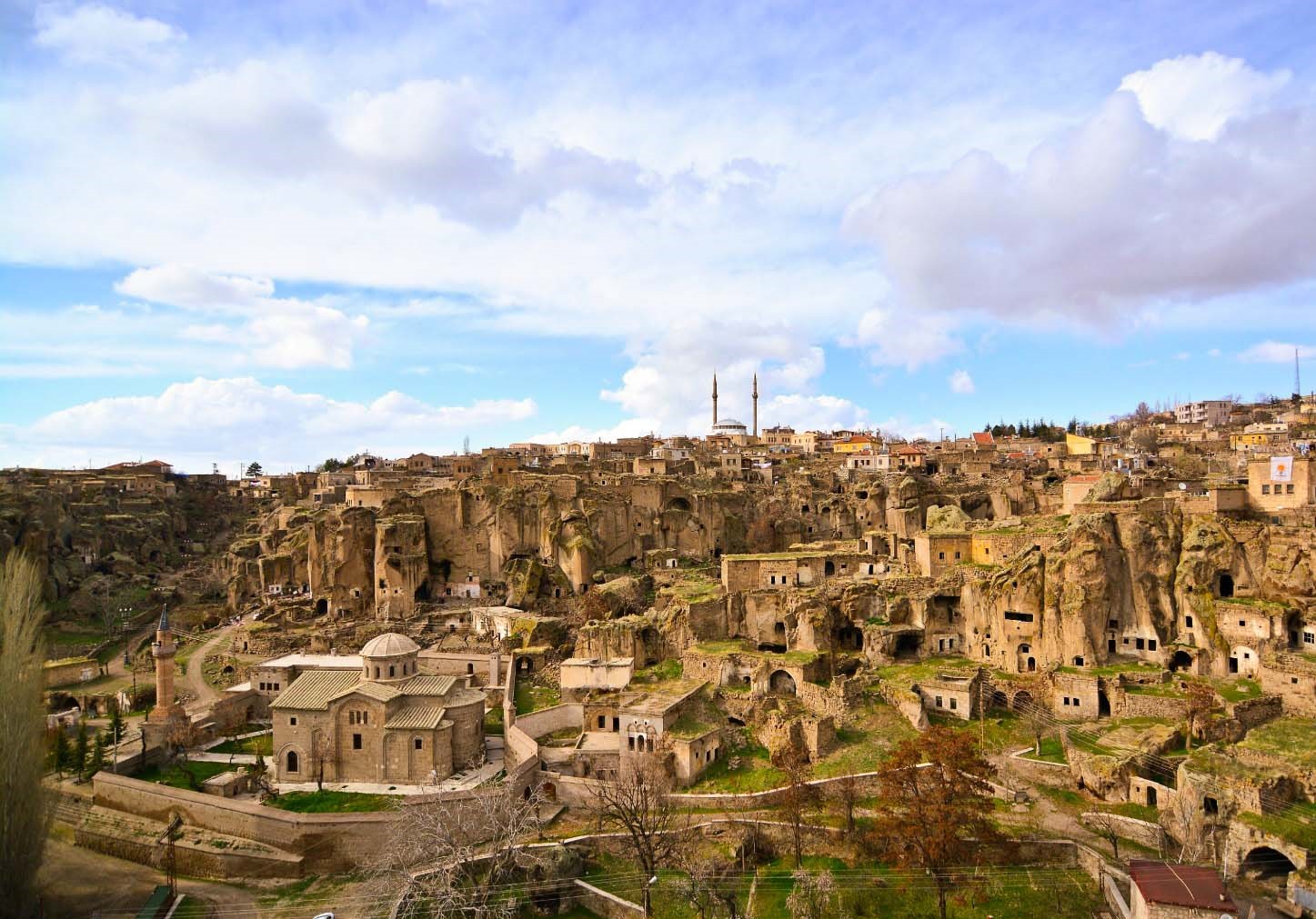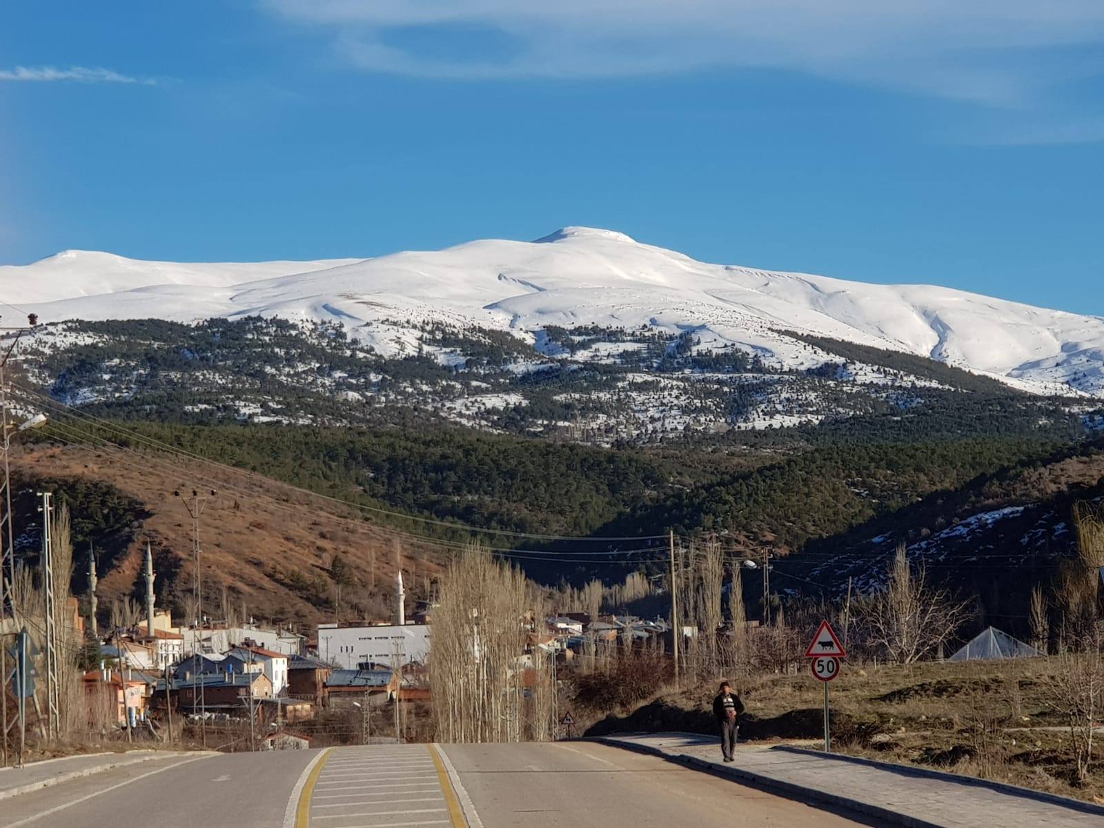


Derbent
Derbent is a district of Konya Province.
Derbent is a small settlement that became a town in 1930 and a district in 1990.
The distance to Konya is 78 km if you take the Beyşehir road and reach the Ilgın turn, and the main road is this direction. However, when going in the direction of Beyşehir road, turn right before descending to Altınapa dam and if Başara Kavak road is used, the distance is 55 km, but this road is very narrow and winding.
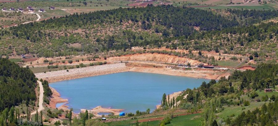
Its surface area is 300 km² and a total area of 156 km² is agricultural land, of which approximately 10 km² is irrigable. The remaining part is residential areas, forest and pasture land. In the Ottoman period, the word "derbent" was used in the sense of organization. In this sense, the outposts used in the passages and straits on the mountains were called "derbent".