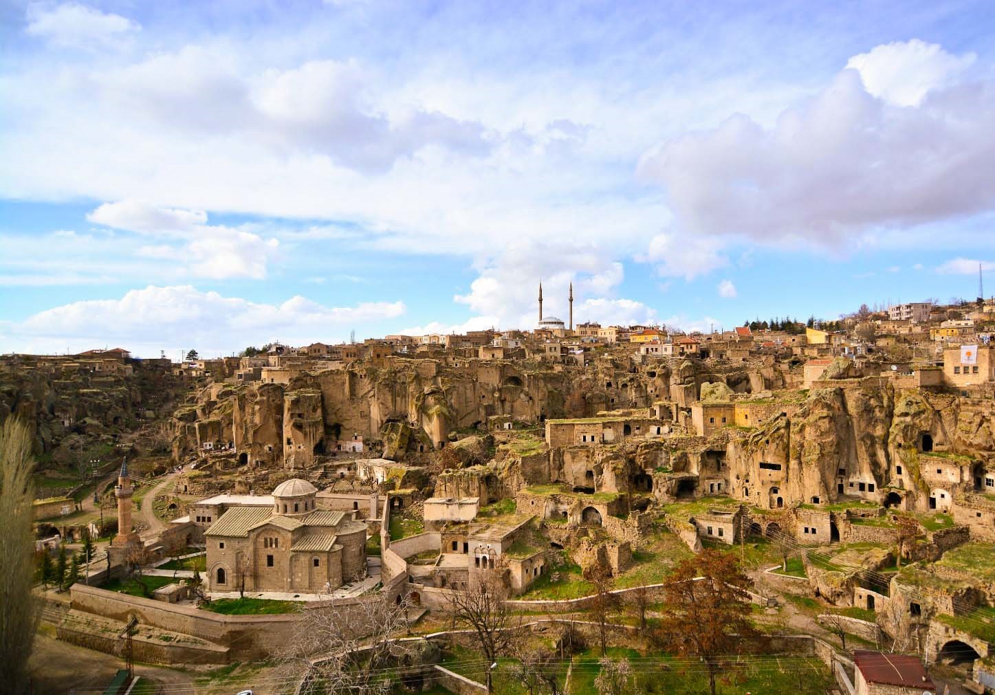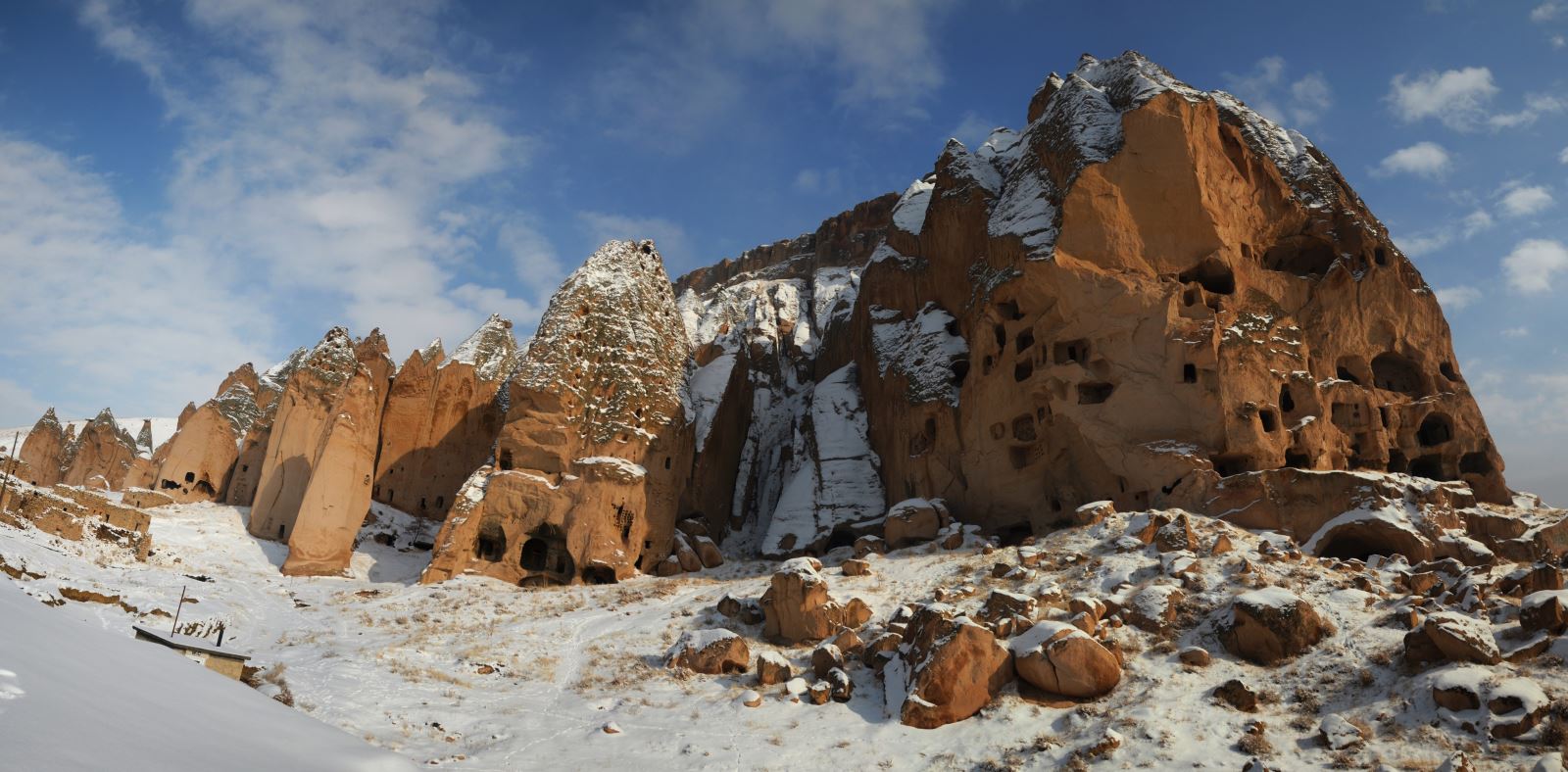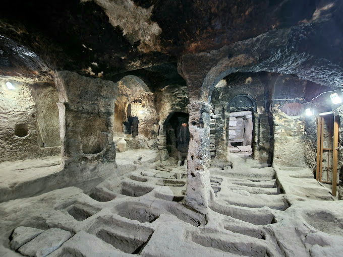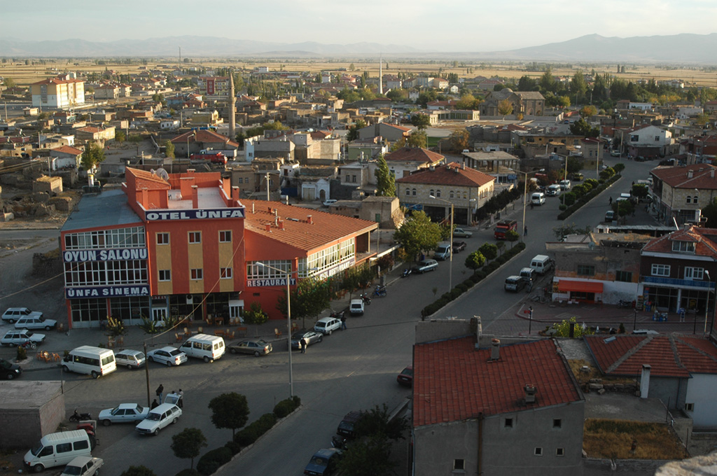

Derinkuyu
Located on the Niğde-Nevşehir highway, the district is 30 km from Nevşehir, 50 km from Niğde, 110 km from Kayseri, 80 km from Aksaray, and the district has a direct road connection to all these provinces.
The area of the district is 445 km² and its altitude is 1,300 meters.
District; Erciyes is located on the Misli plain, which is in the form of a volcanic bowl between the Hasan Mountain and the Melendiz Mountains. The soil is sandy and the erosion effect is very strong with the end of volcanic activities, rain and wind. The land is generally flat and there is no forest area.
There are large underground water resources in the district, which does not have rivers and lakes.
The vegetation is a steppe made of undersized grass that turns green with the spring rains and dries up in the middle of summer.
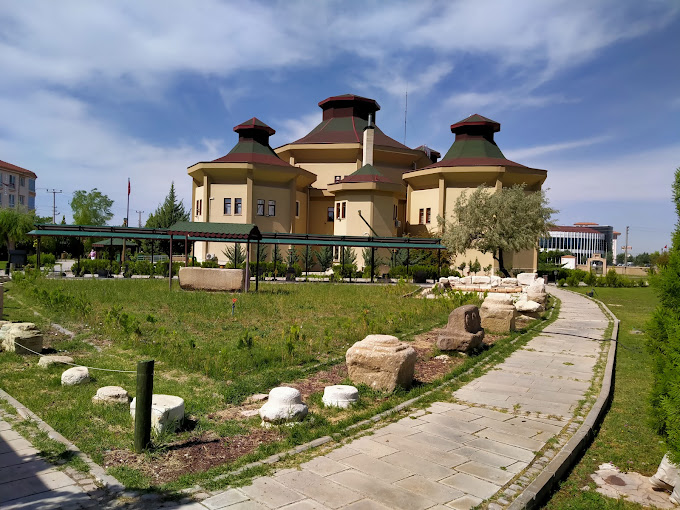
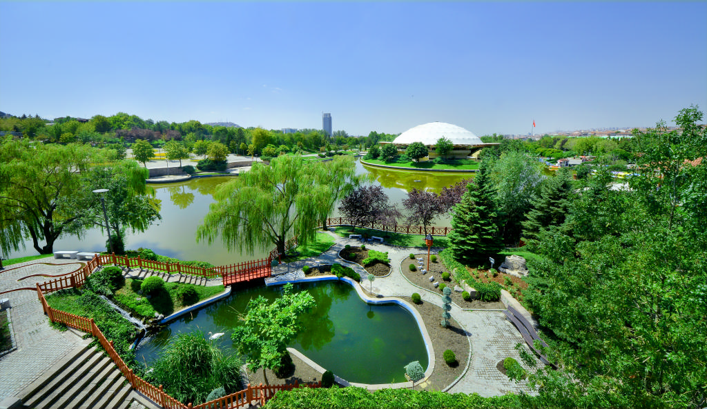
Hakki Atamulu Culture Park, one of Turkey's most interesting groves and art parks, is also here. There is a large Atatürk statue. Tourism is developing, agriculture and animal husbandry are the most important livelihoods.