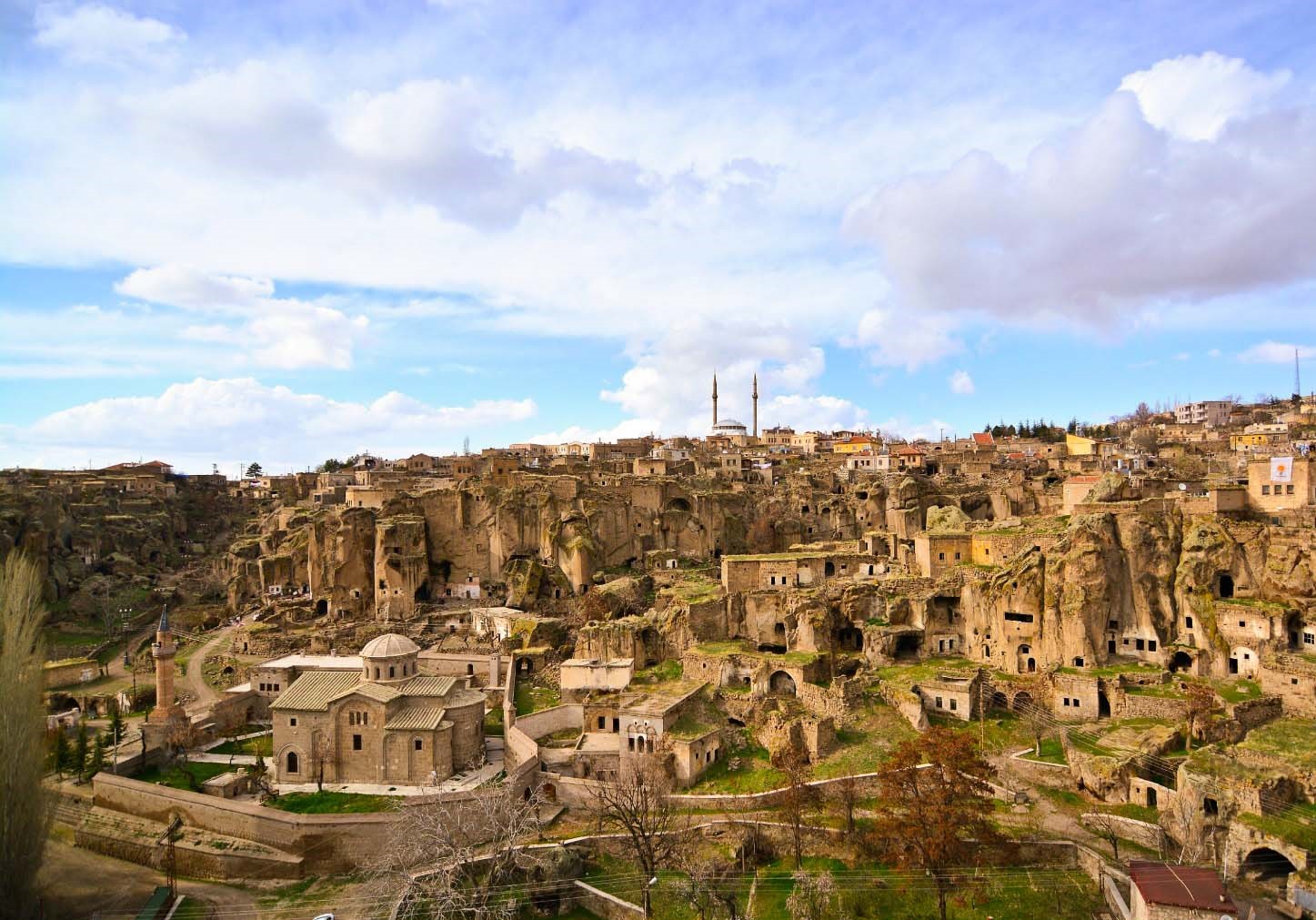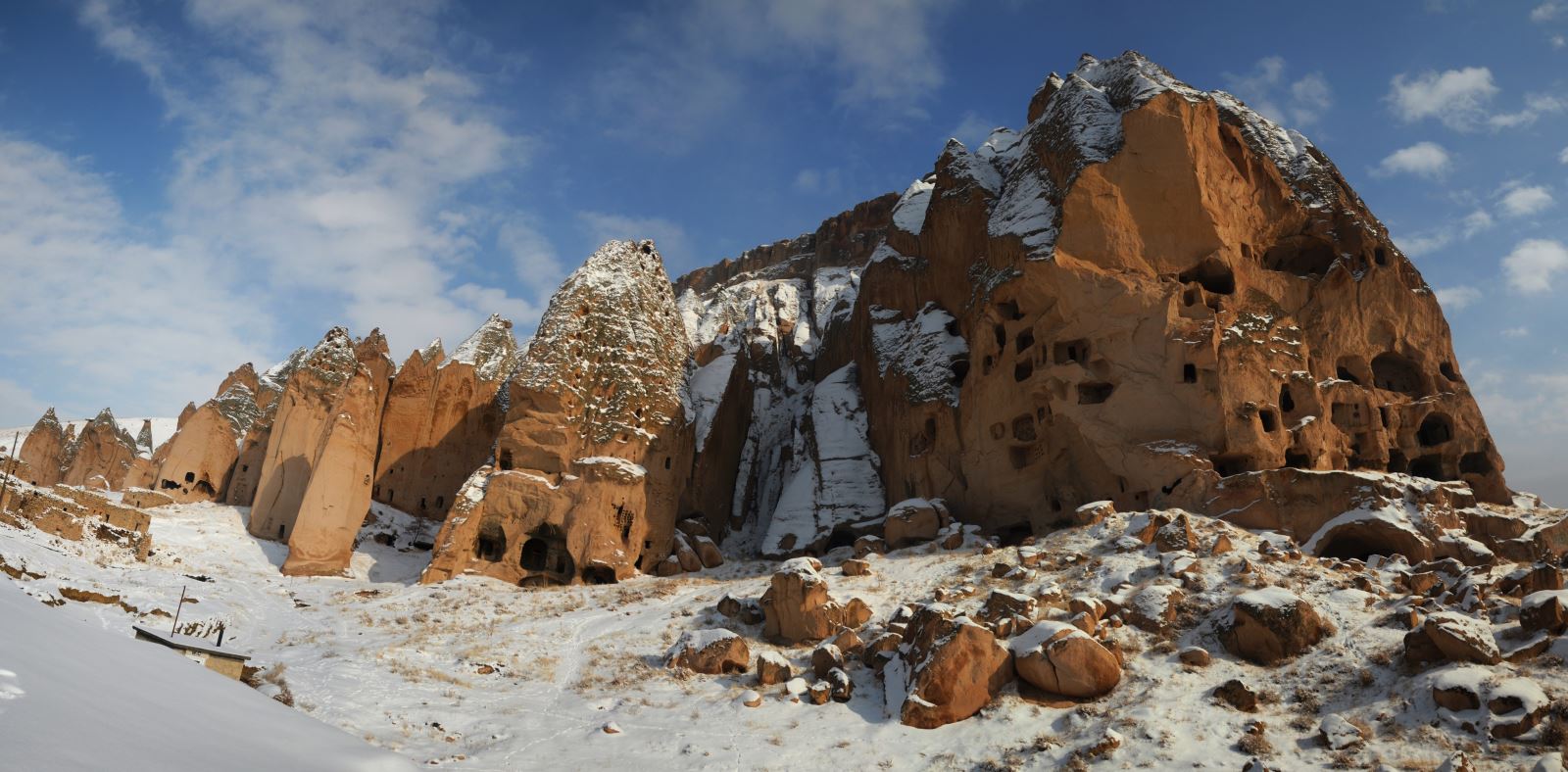


Develi
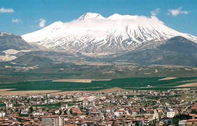
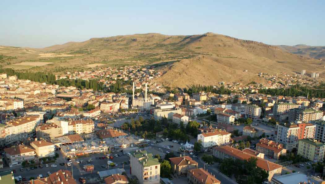
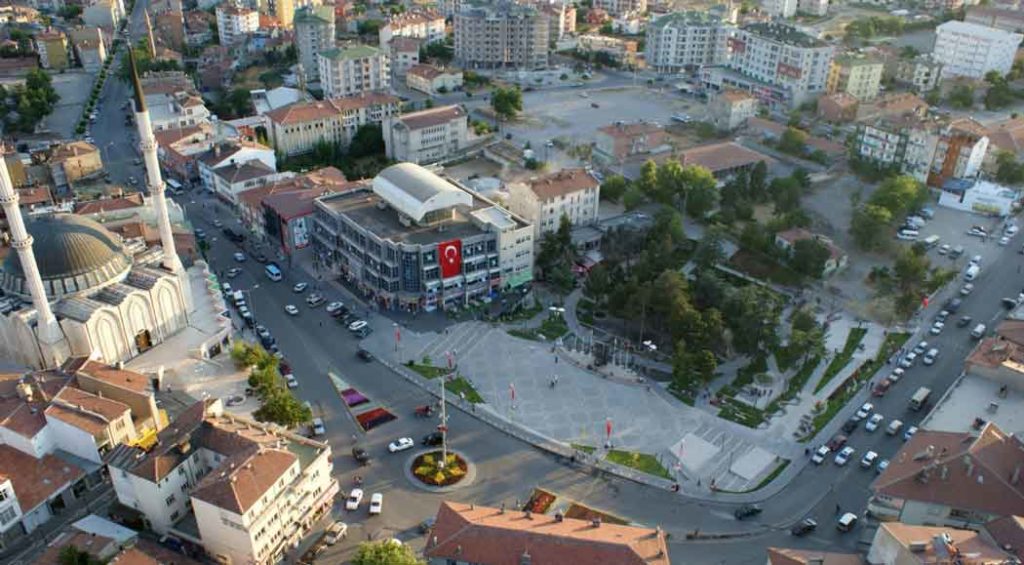
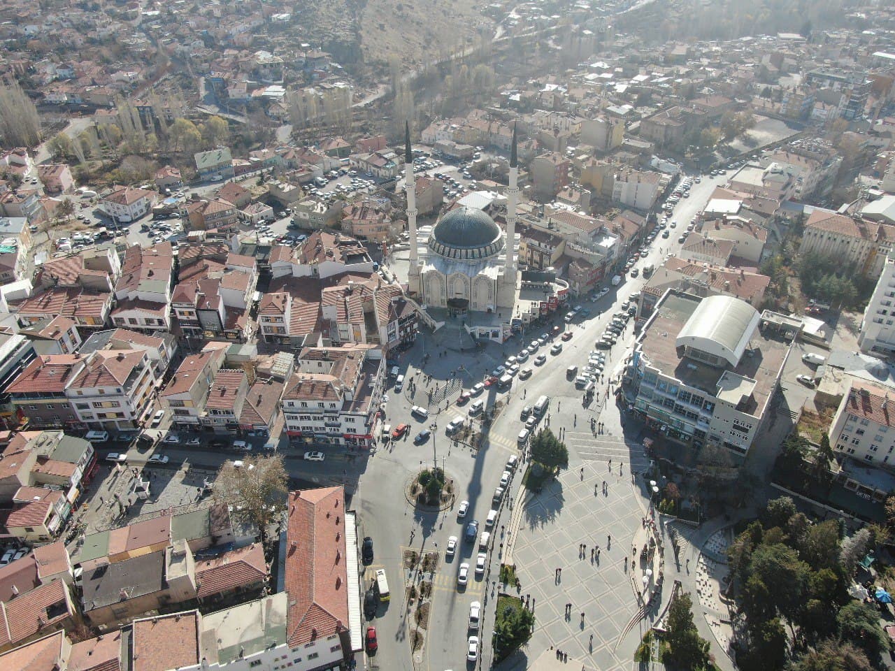
Develi is the largest settlement in Kayseri after the city center and is located in the Central Kızılırmak Section of the Central Anatolia Region. Its old name is Everek. It was established 6 km south of Erciyes Mountain. Today, Tomarza district and Tufanbeyli District of Adana province are located in the east, Yahyalı district in the south, Saimbeyli and Feke districts of Adana province, Yeşilhisar District in the west and İncesu district in the northwest. Develi, which was affiliated to Kozan until 1926, was connected to Kayseri when Kozan province was transformed into a district in 1926. The district is 45 km from the Tekir Plateau route to Kayseri and 86 km from the İncesu route, and it is the largest district of Kayseri. Its area is 1887 km² and its height above sea level is 1150 meters. The highest mountain is Mount Erciyes, which is the symbol of Kayseri. In addition, Karasivri Mountain, Büyük Kartin (Fairy Kartin), Göktepe (Yeşil Tepe), Sümengen (Süvegen) and Bakır Mountain are also within the geography of Develi. The most important streams are Zamantı River, which is the largest tributary of Seyhan River, Develi Stream (Fenese Water), Elbiz and Köşkpınarı. The most important lakes are Kurbağa Lake and Sultan Marshes.