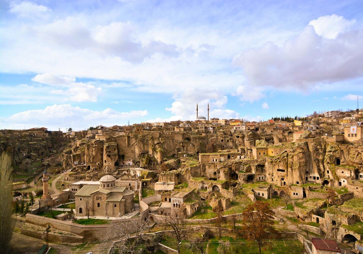

Divriği
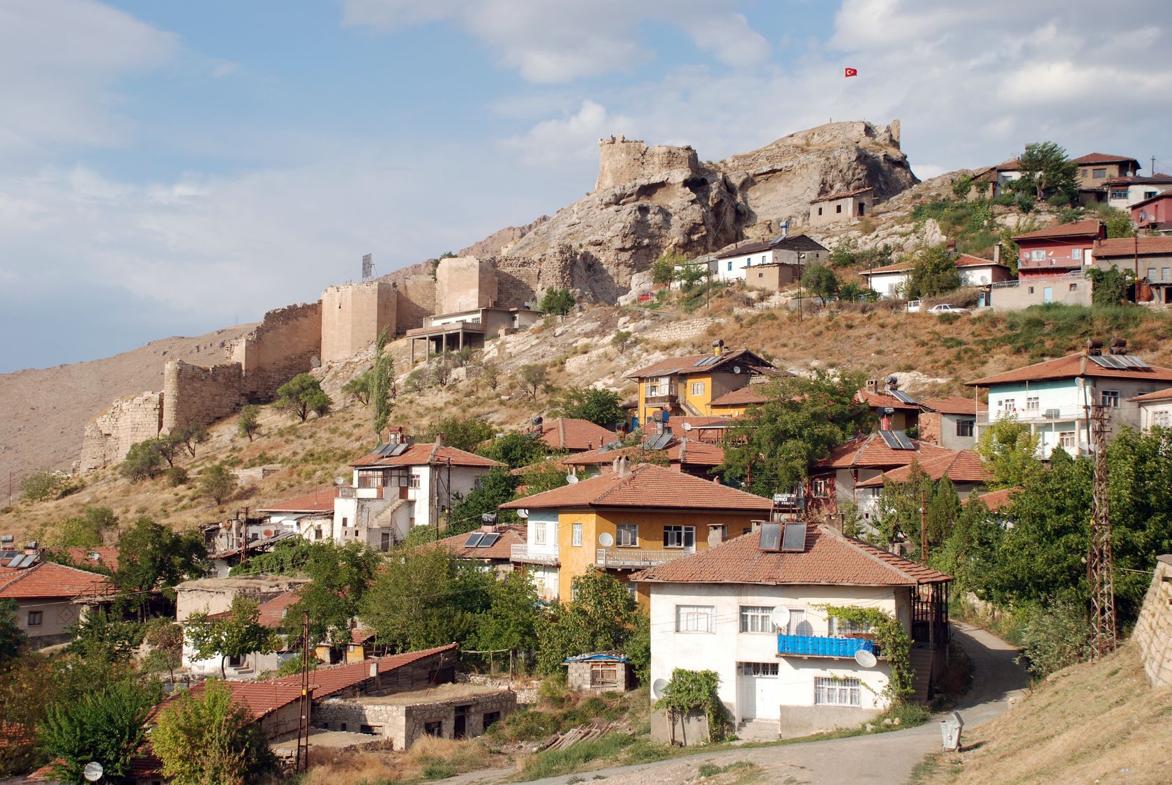
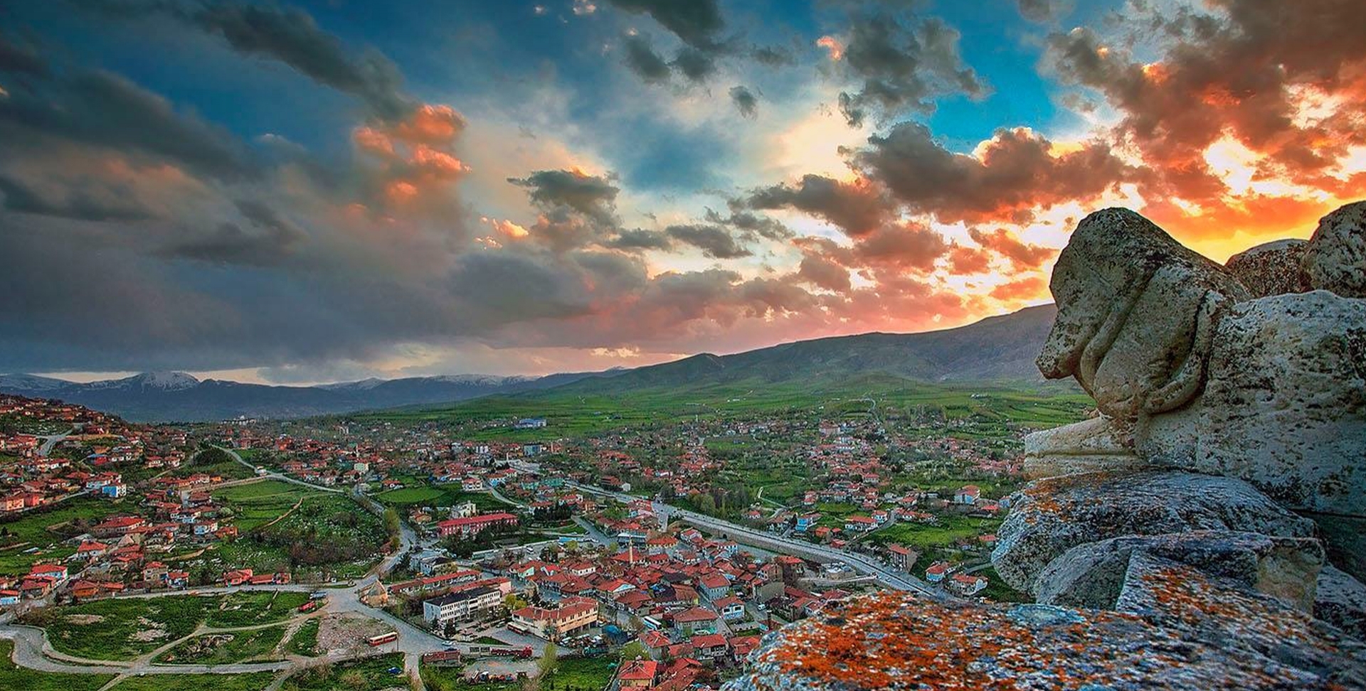
Divrigi is a district of Sivas. Divrigi is geographically located in the Eastern Anatolia Region. The district was established on the edge of the Çaltı Stream Valley, which is a branch of the Euphrates River. It is 1225 meters above sea level. The area of the district covers an area of 2781.56 km². It is surrounded by İliç and Kemaliye in the east, Kangal in the west, İmranlı and Zara in the north, Arguvan, Arapgir and Hekimhan in the south.
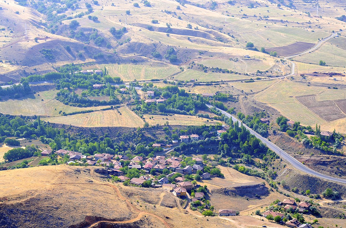
Divrigi district encompasses a very mountainous region. Small tributaries of the Euphrates flow in steep and deep valleys between the mountains. The land is bare and wild-looking. Its lands contain rich iron mines.
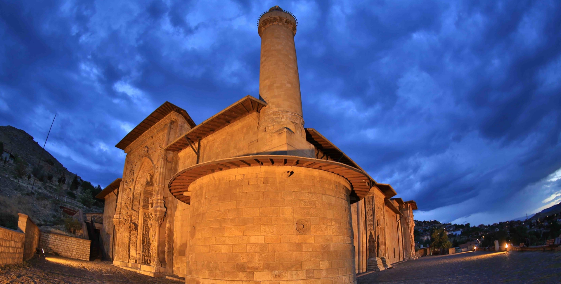
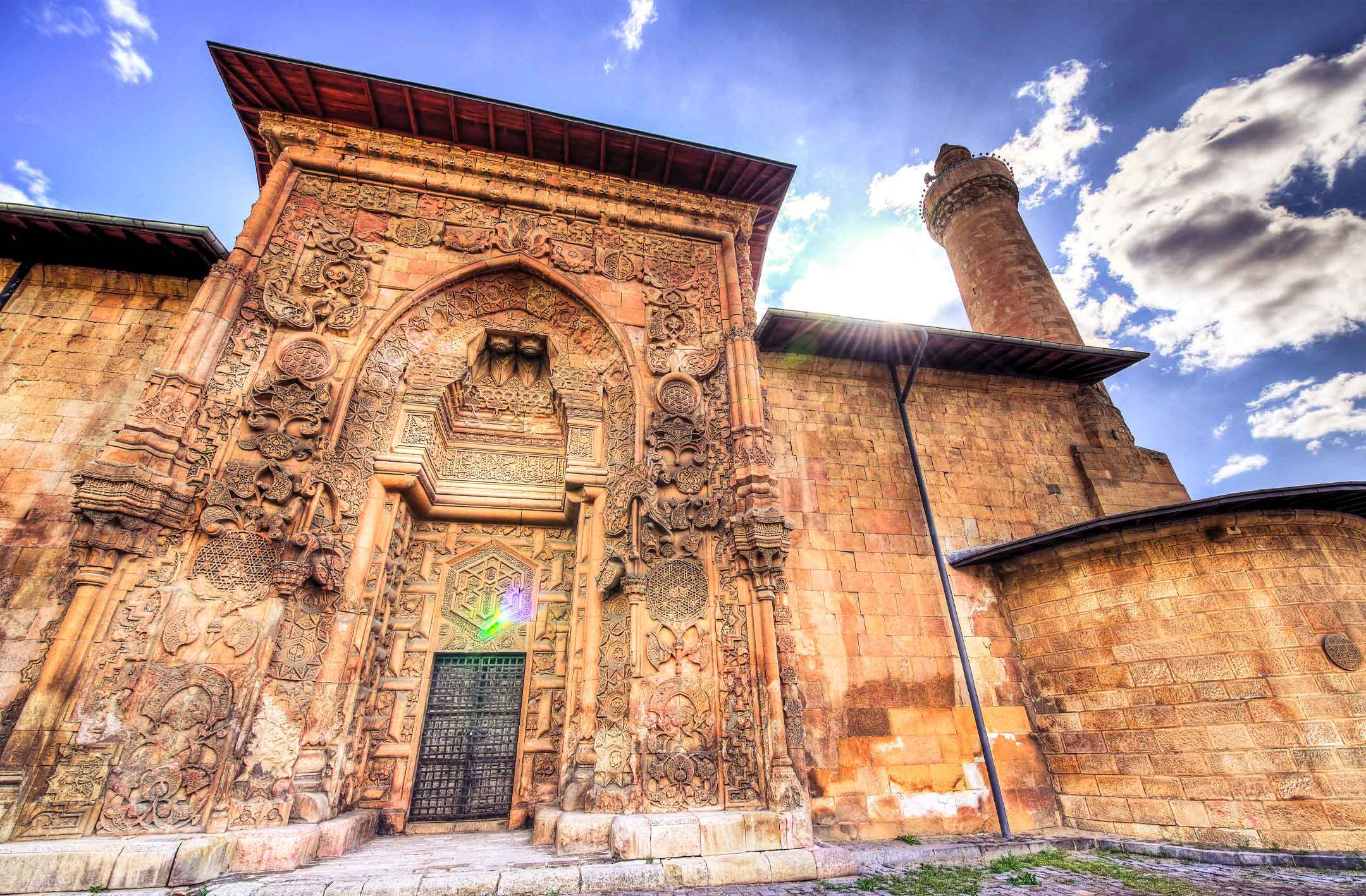
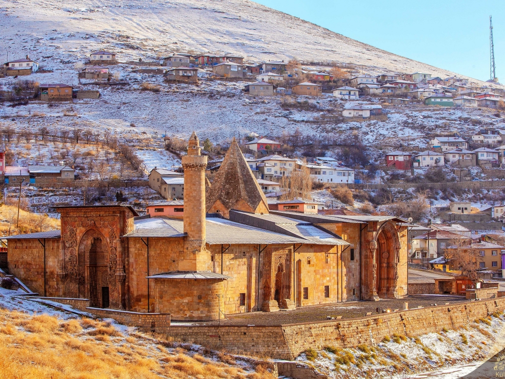
Divriği Great Mosque and Hospital, which was built in the Middle Ages, is the most important historical attraction center in the region, which increased its wealth by exporting iron to Mesopotamia in the past.
The fact that the mountains are high, cool and covered with grasslands suitable for transhumance, as well as low soil fertility has brought transhumance to the fore.
The main plateaus are: Yama, Sarıçiçek, Göldağı, Eğrisu, Demirli and Dumluca Plateau, but many villages have their own plateaus.
The important mountains of the district are Çengeli Mountain, Deli Mountain, Eferdi, Göldağ and Akdağ in the north. Yama, Demirli, Geyikli in the south, Sarıçiçek in the southeast, Iğınbat in the east; Dumluca is located in the west.