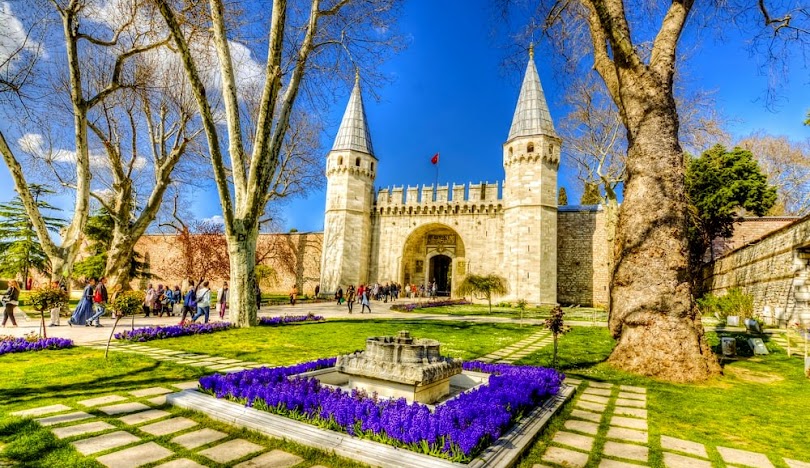

Fatih
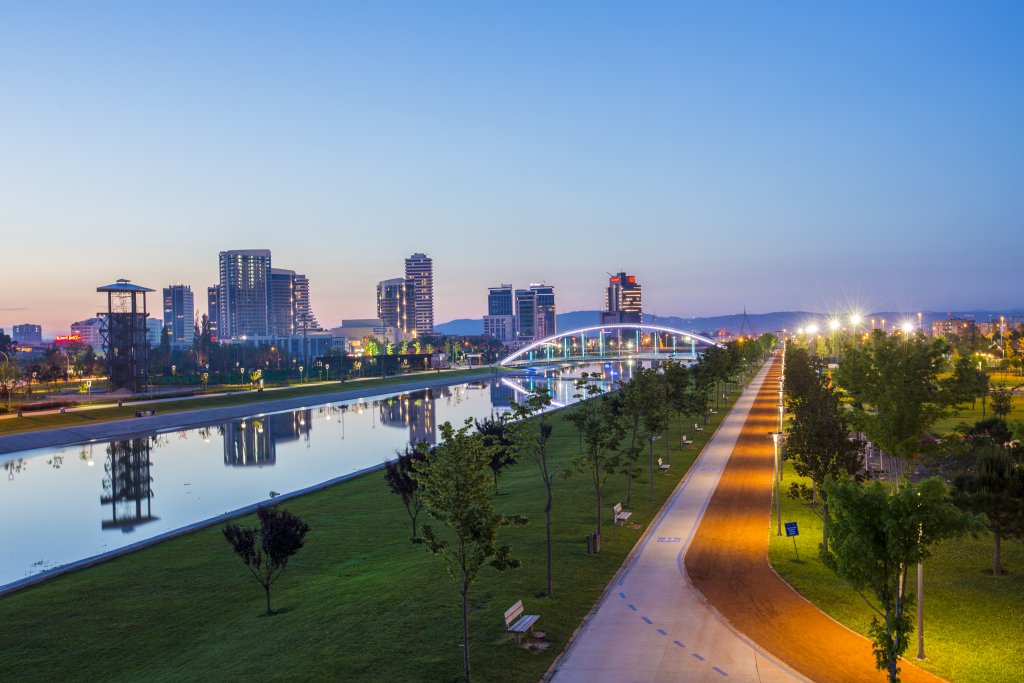
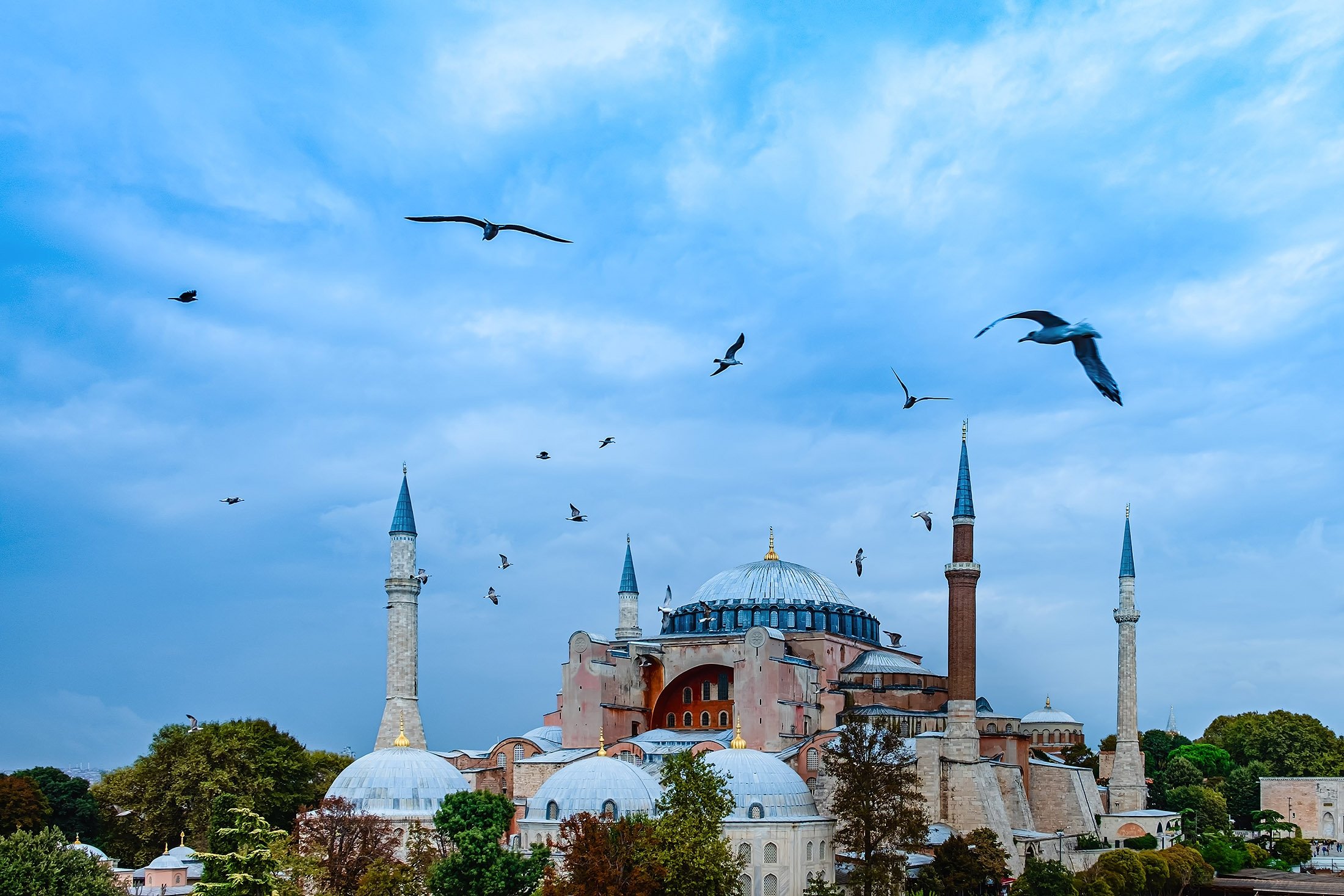
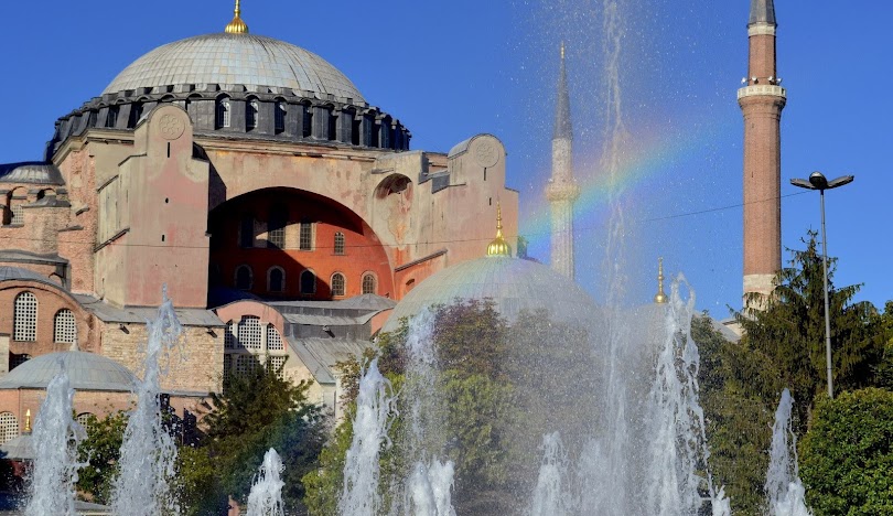
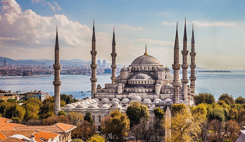
Fatih, also known as the historical peninsula (Suriçi), covers the entire region where the city of Istanbul was founded and developed and is currently the central district of the province of Istanbul. It is considered the center of Istanbul because it includes institutions such as the governorship, metropolitan municipality, police department and the city's tax office. Zeytinburnu districts from the southwest, Eyüpsultan districts from the northwest; It is surrounded by the Golden Horn from the north, the Bosphorus from the east and the Marmara Sea from the south. The district was one of the two districts on the historical peninsula, along with Eminönü, from 1928 to 2008. Since the existence of the Eminönü district was eliminated once again in 2008 and rejoined with the Fatih district, as in its history, it has again become the only district on the entire historical peninsula. Fatih district, which has no rural settlement and covers an area of 15.62 km² (1562 hectares), consists of 57 neighborhoods. When Constantinople was conquered by the Ottomans in 1453, the Orthodox Patriarchate was located right next to Hagia Sophia. In the days following the conquest, the Patriarchate was moved first to Havariyun Church and then to Fener. Fatih Sultan Mehmet had a large social complex named after him built instead of the Havariyun Church, which was demolished in the tenth year of the conquest. Over time, a Muslim neighborhood emerged around the Fatih Complex. This neighborhood, which was named after the social complex, quickly became a classical Ottoman-Turkish city and gave its name to the Fatih district and district.