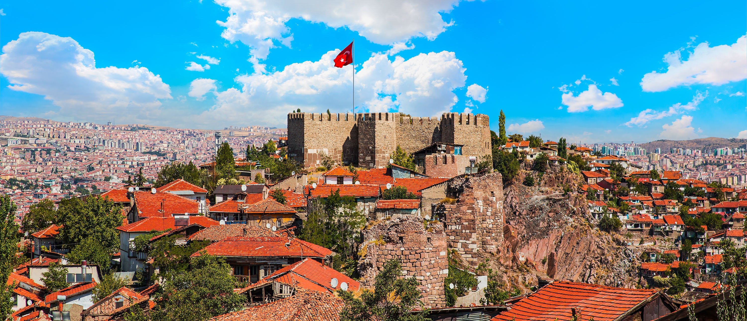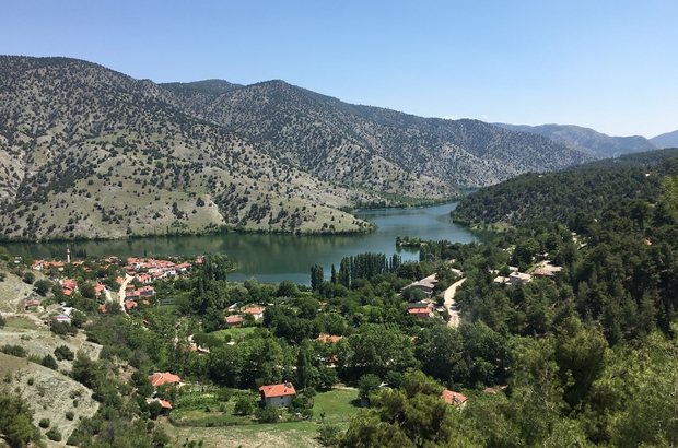
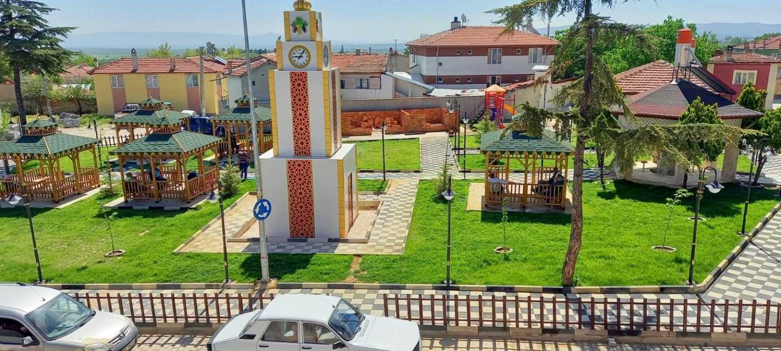
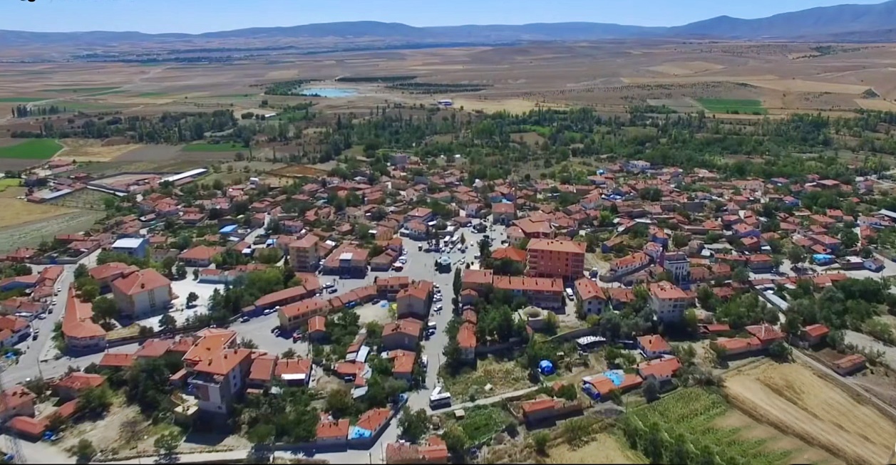

Günyüzü
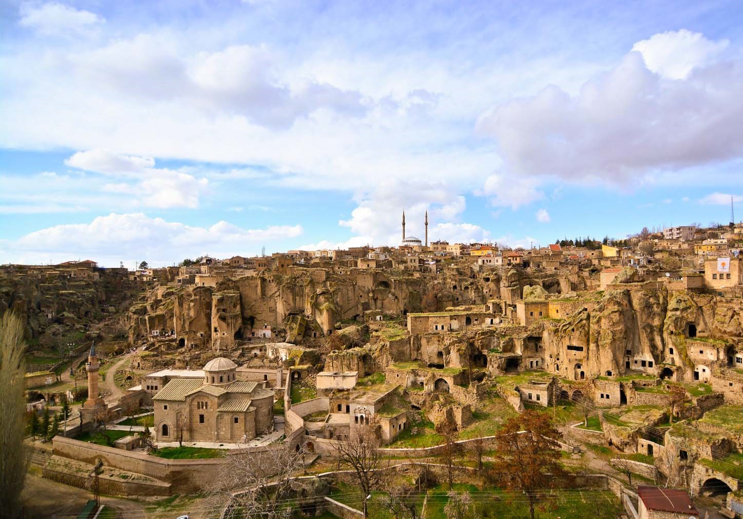
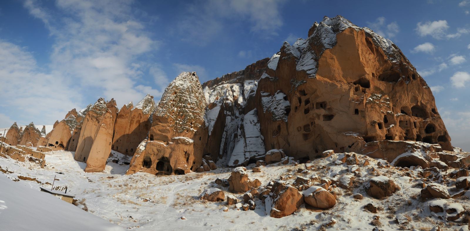
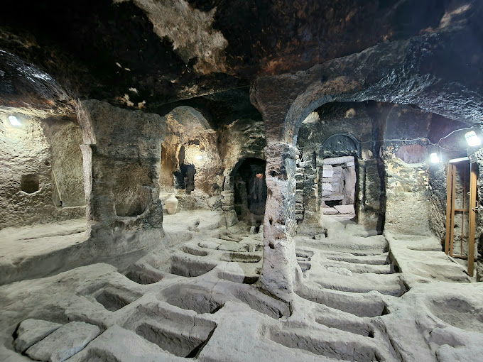
In 1972, the Municipality Organization was established in Günyüzü District, which was a sub-district in 1932, and Günyüzü District became an independent district with the law numbered 3644 published in the Official Gazette dated 20 May 1990 and numbered 20523, and officially started to work on 06.08.1991. The area of the district is 740 km2 and its height from the sea is 864 m. Although the lands of Günyüzü District have the appearance of a plain, high mountains and cliffs in places disrupt the plain in the land. It was in constant interaction with Sivrihisar, one of the largest settlements in the Central Anatolia Region, during the Seljuks and Ottomans. Currently, it is the largest and richest settlement in the Sivrihisar region, with the Yazir Village and Kayakent Town of our district. Again in this period, vineyards came to the fore and the most beautiful grapes of Anatolia were grown here. Again, during the War of Independence, very fierce clashes took place near our district. Skirmishes are more effective at Çakmak and Kavuncu locations on the sides of the Sakarya River. Mount Eryiğit, which was in the town during the war, was used as a shelter and shelter by the people of the region. Although there are different rumors and rumors belonging to these periods, they do not express certainty. In the excavations and exploration works carried out in our towns and villages throughout our district, many findings belonging to the old periods and especially the War of Independence were found.