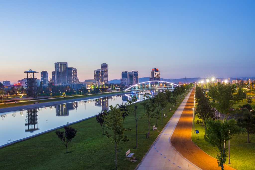

Gürsu
Gursu; Together with Nilüfer, Osmangazi, Yıldırım and Kestel, it forms the center of Bursa.Gürsu is surrounded by Kestel in the east and south, Yıldırım and Osmangazi in the west, and Gemlik in the north. Its height above sea level is 100 meters. Its area is 118 square kilometers.
Gürsu, previously known as Susığırlık, took its current name in 1931. While it was a sub-district of Yıldırım district, it became a district in 1991. It has 14 districts
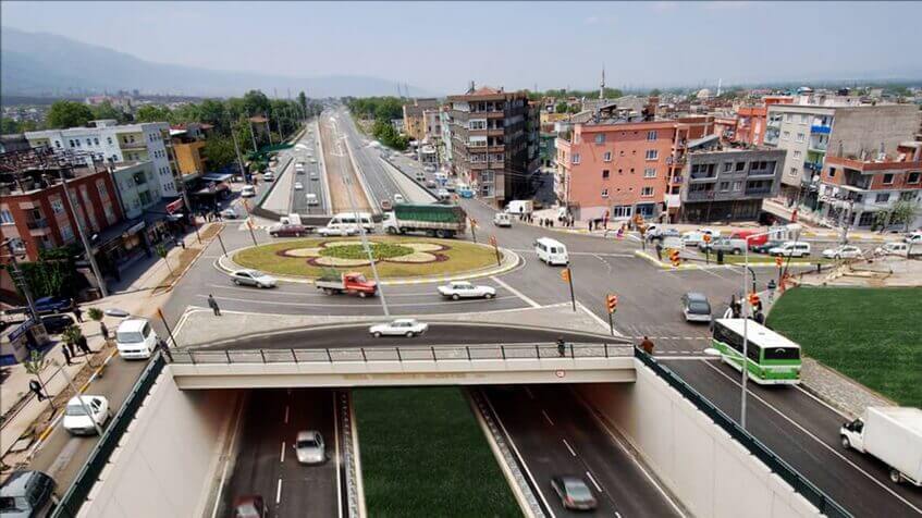
Since the land is wet, the livelihood of the people is generally agriculture. The surrounding industrial establishments are an important source of livelihood for the working people.
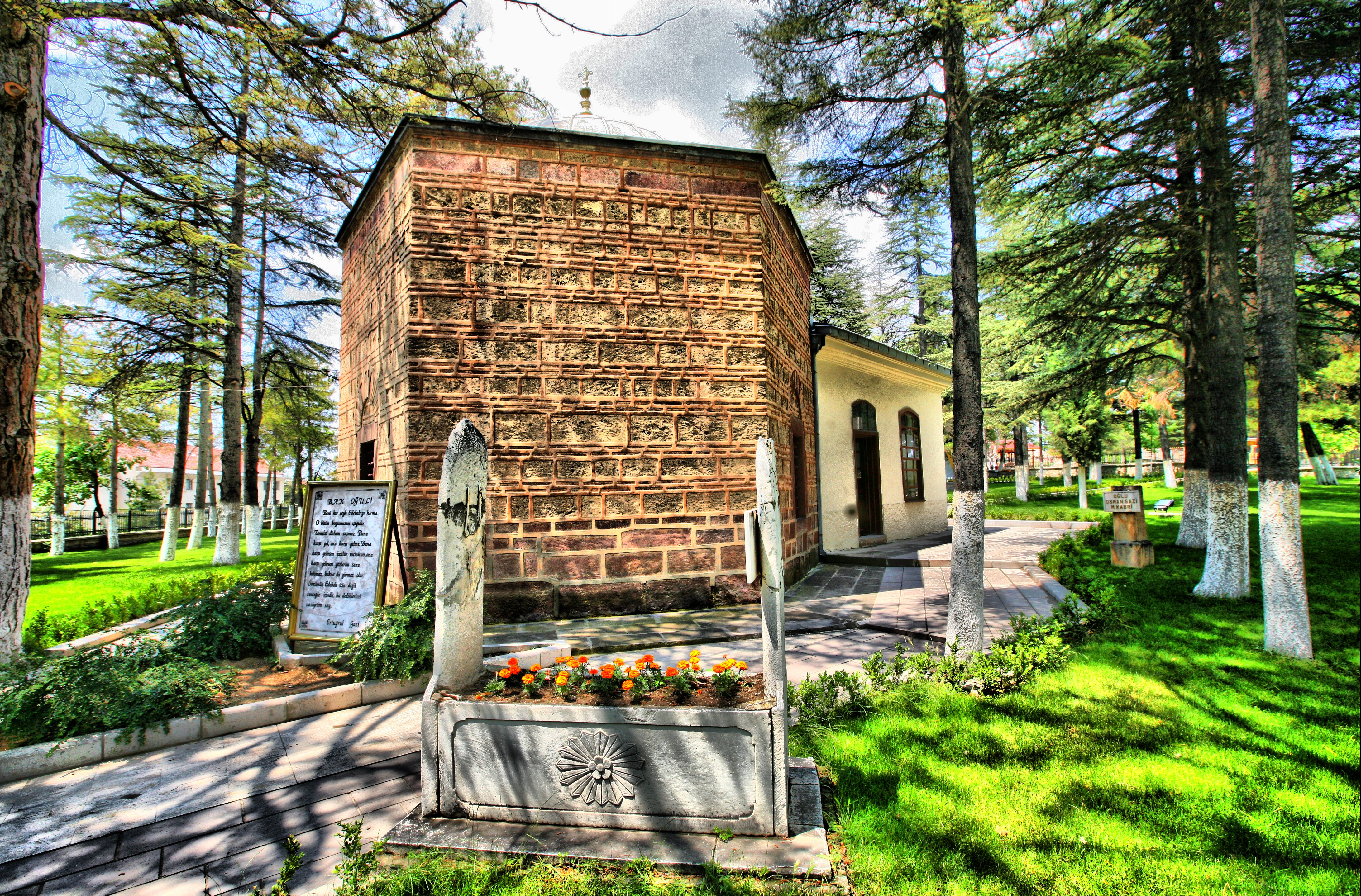
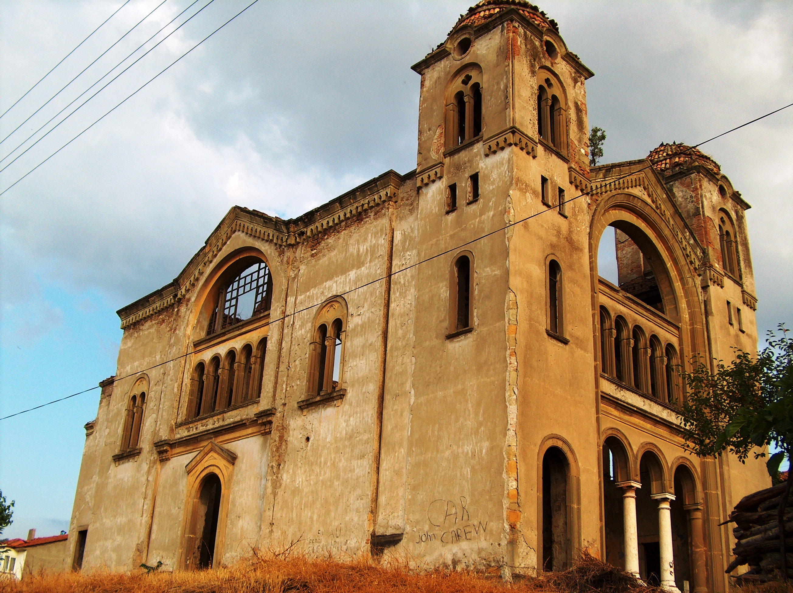
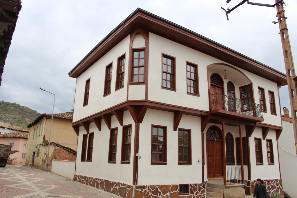
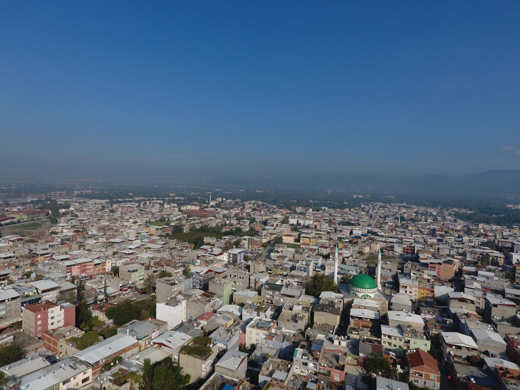
It is a historical district that hosts historical plane trees, Ottoman houses, historical baths and mosques and new settlements.
A parachute area has been created in the Katırlı Mountains Dışkaya locality in order to be an alternative to Fethiye Ölüdeniz in paragliding in Gürsu district, which is trying to make its name known in the field of nature sports. When Gürsu was first established, it had 48 villages