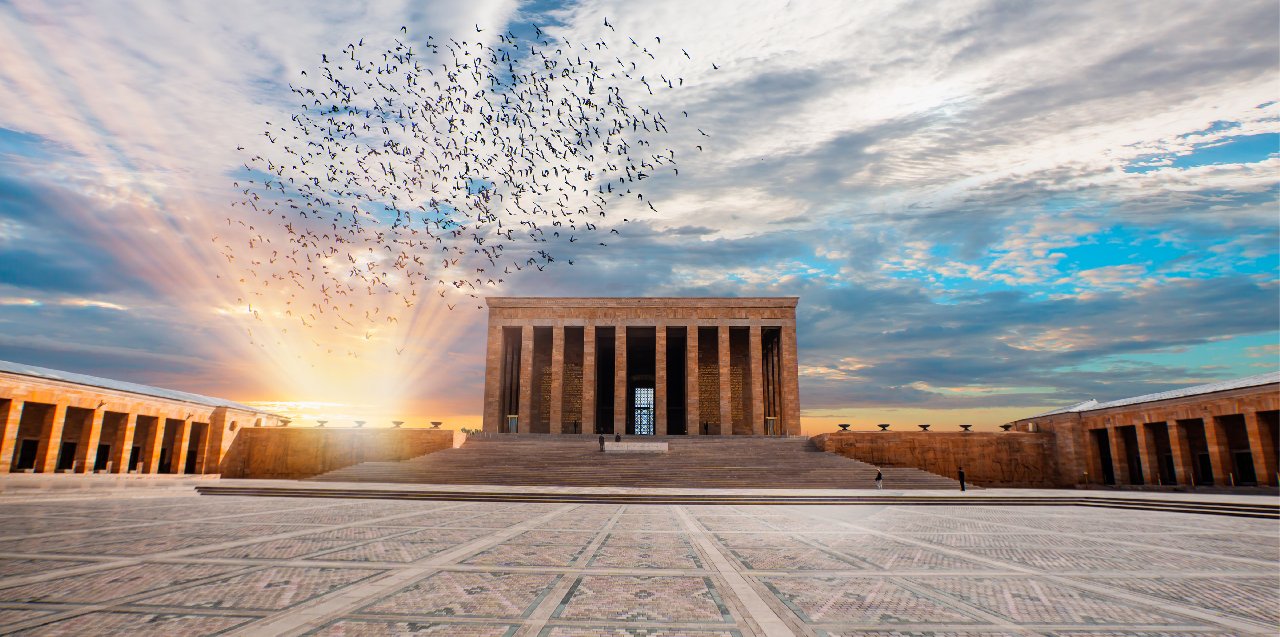

Hafik
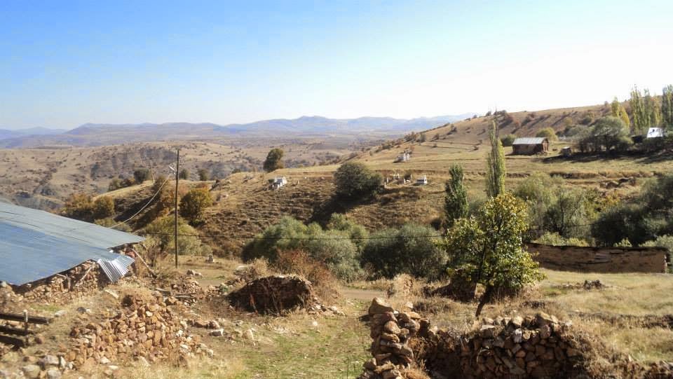
Hafik, formerly Koçhisar, is a district located 39 km east of Sivas province, with a surface area of 2,382 km². It was established on the Sivas-Erzincan highway in the Kızılırmak basin. Its earliest known name is Hafik, recorded by Ibn Bibî in the 13th century. In 1873, there was an accident under the name of Koçhisar. In 1926, the name Hafik began to be used again.
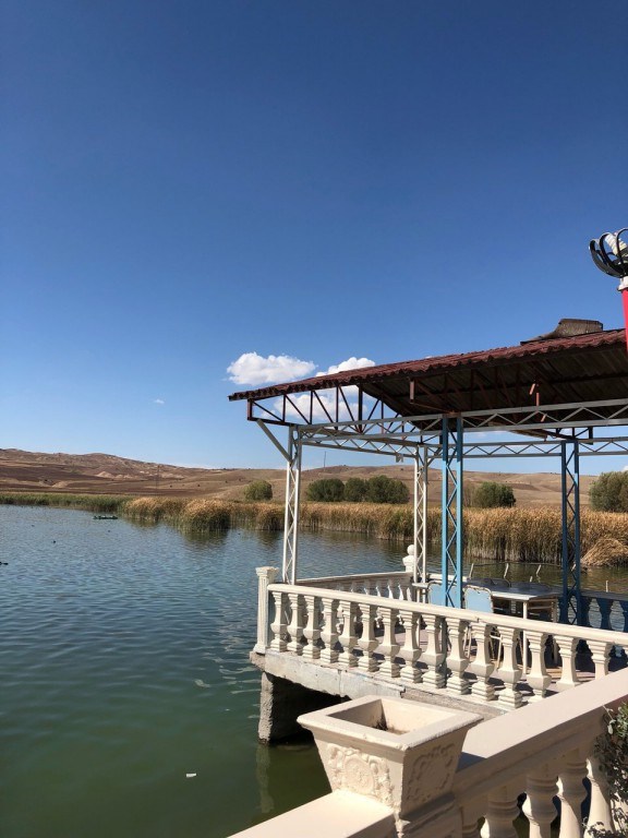
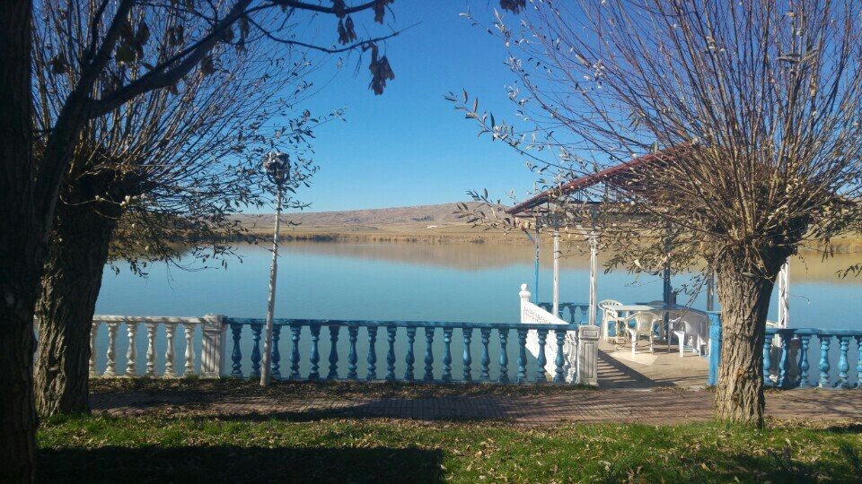
The first settlement in the district is in Pilir Höyük, near the northern shore of Hafik Lake. A completely different type of pottery was encountered in the mound from the layers yielding EBA and Chalcolithic Period tools and below the water level of the lake. In addition to these finds showing Neolithic Period features, there are other finds pointing to the same period. Tiny flint tips, mini leaf tips made of obsidian, teethers with pressure notches, hand grinder stones, mallets, idols made of sandstone and animal bones, cylindrical pits and wood fragments were found as building remains during the sounding at Pilir Höyük. Pieces of wood and traces of wood belong to the piles. After the Neolithic Period, settlement continued in Pilir. In addition, as a result of the examination of the ceramics collected in Tekur Castle in Beypınarı village, it proves that this region was inhabited in the Early Bronze Age, from Hellenistic-Roman Period, Middle Age rough and painted ceramics and Early Bronze Age burnished ceramics. As a result of Burney's survey in 1955, ceramics belonging to 3000 BC and Iron Age were found in the Boztepe Mound of Karlı Village, which has a 3000-year-old settlement. In addition to those that show their characteristics, there are also local ones. Some of their villages still have old ruined churches.