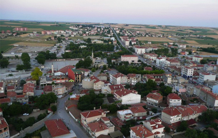

Havsa
Havsa is in the northern half of Edirne and on the Konya plateau. It is adjacent to Kırklareli in the east, Edirne central district in the west, Süloğlu in the north and Uzunköprü in the south. There are no mountains in the county; There are hills lined up in the north-south direction. The highest of these low-rise flat hills is Doğruk Tepe. The depths of the valleys are less. The wide base of one of these valleys is called the Ottoman Plain. Its main rivers are Oğulpaşa, Necatiye, Kuleli creeks, Darıdere and Çokdere. These are the tributaries of the Ergene river. There is no natural lake in the district, but there is an artificial pond.