
Transfers
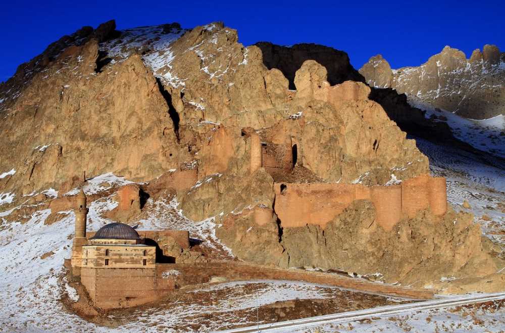
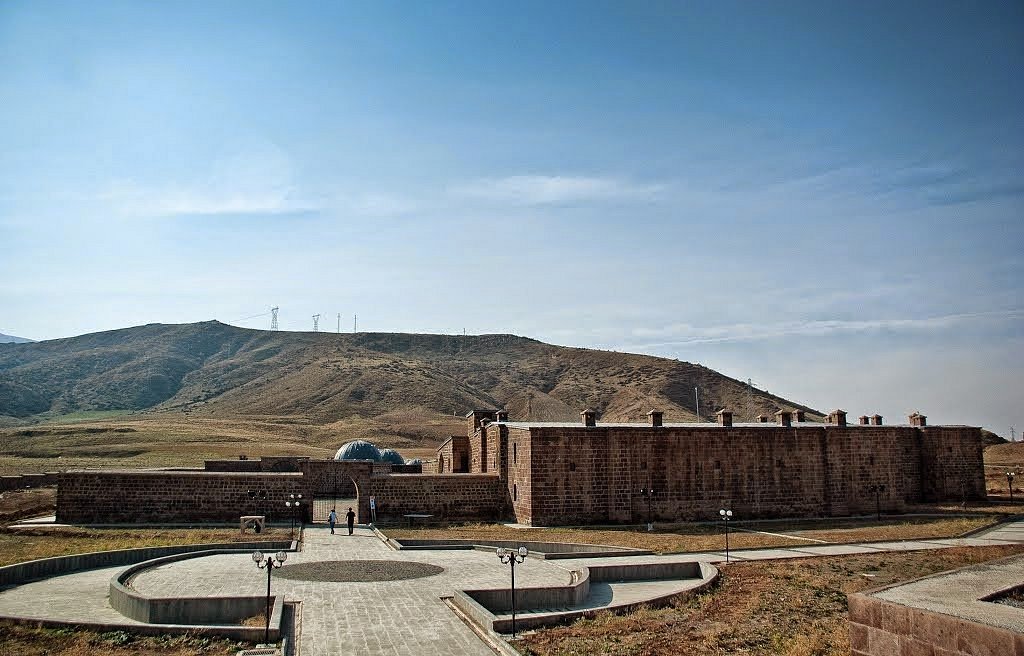
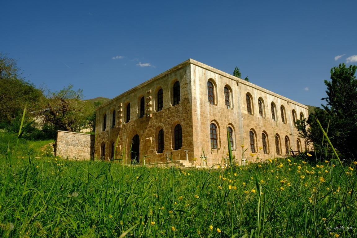
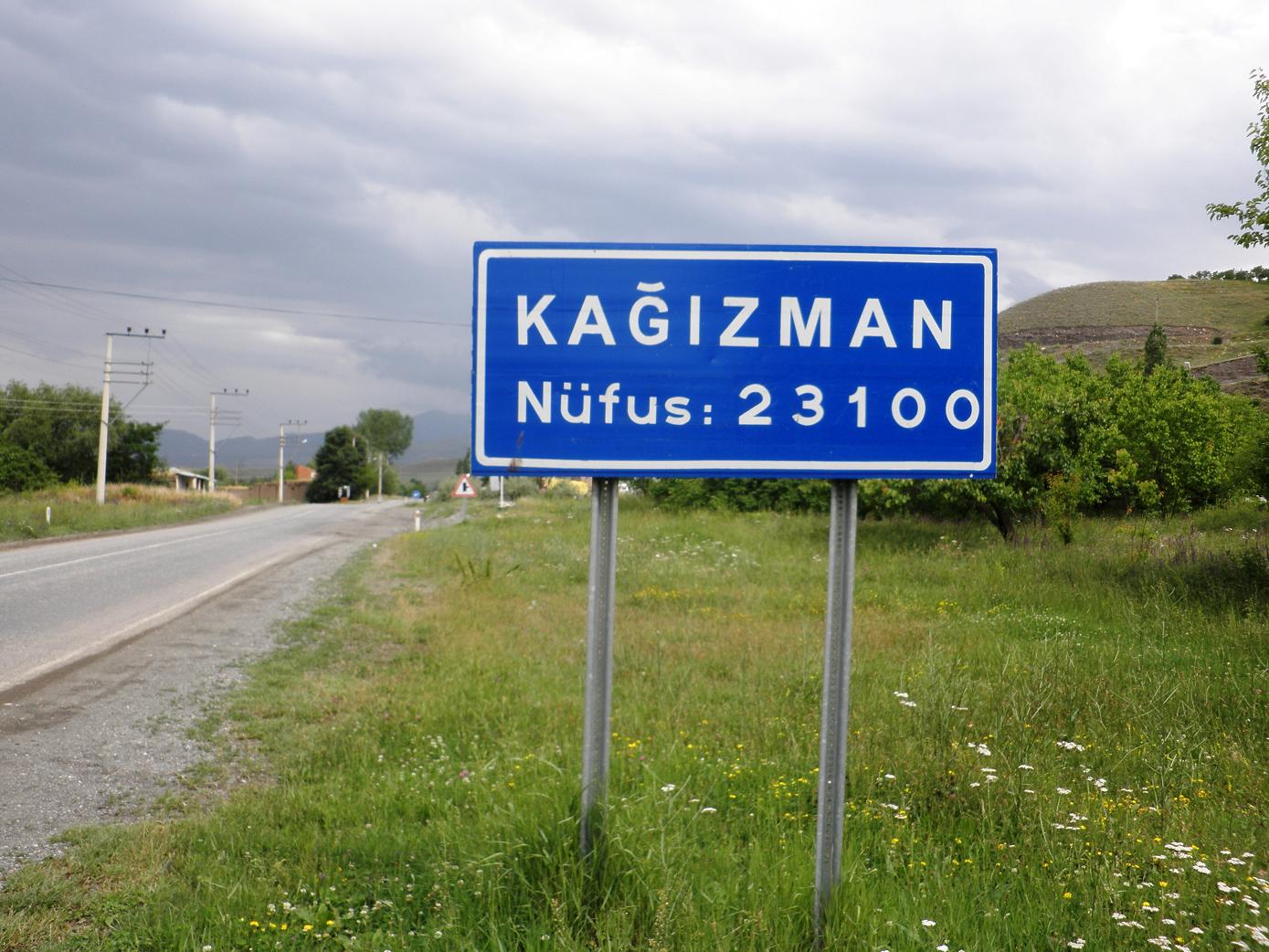
Kağızman
Kağızman is a district of Kars province.
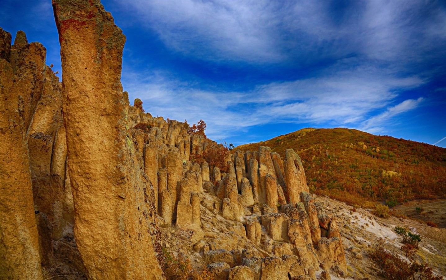
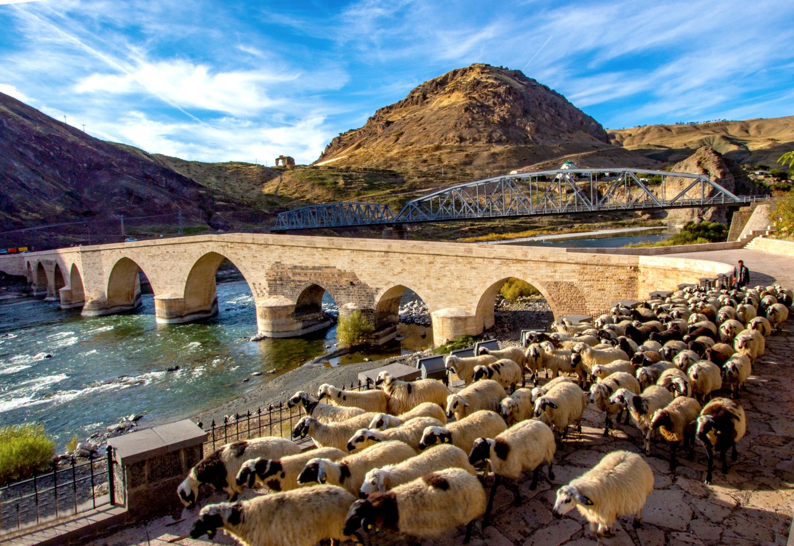
Located on the Aras River bed, with its fertile soils and mild climate, the district has a geographical position suitable for agriculture among high mountains. It is 72 km from Kars, 100 km from Iğdır and 150 km from Erzurum. Kağızman has an area of 1972 km². Height differences are high within the district. These altitudes vary between 1100–1600 m. It is adjacent to Kars center and Selim in the north, Tuzluca and Digor in the east, Sarıkamış in the west and Ağrı center in the south. It is located on a deposit section in the Aras valley.
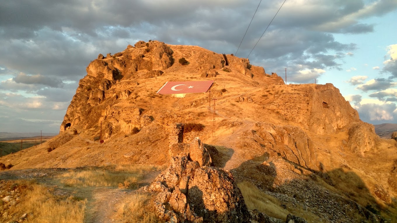
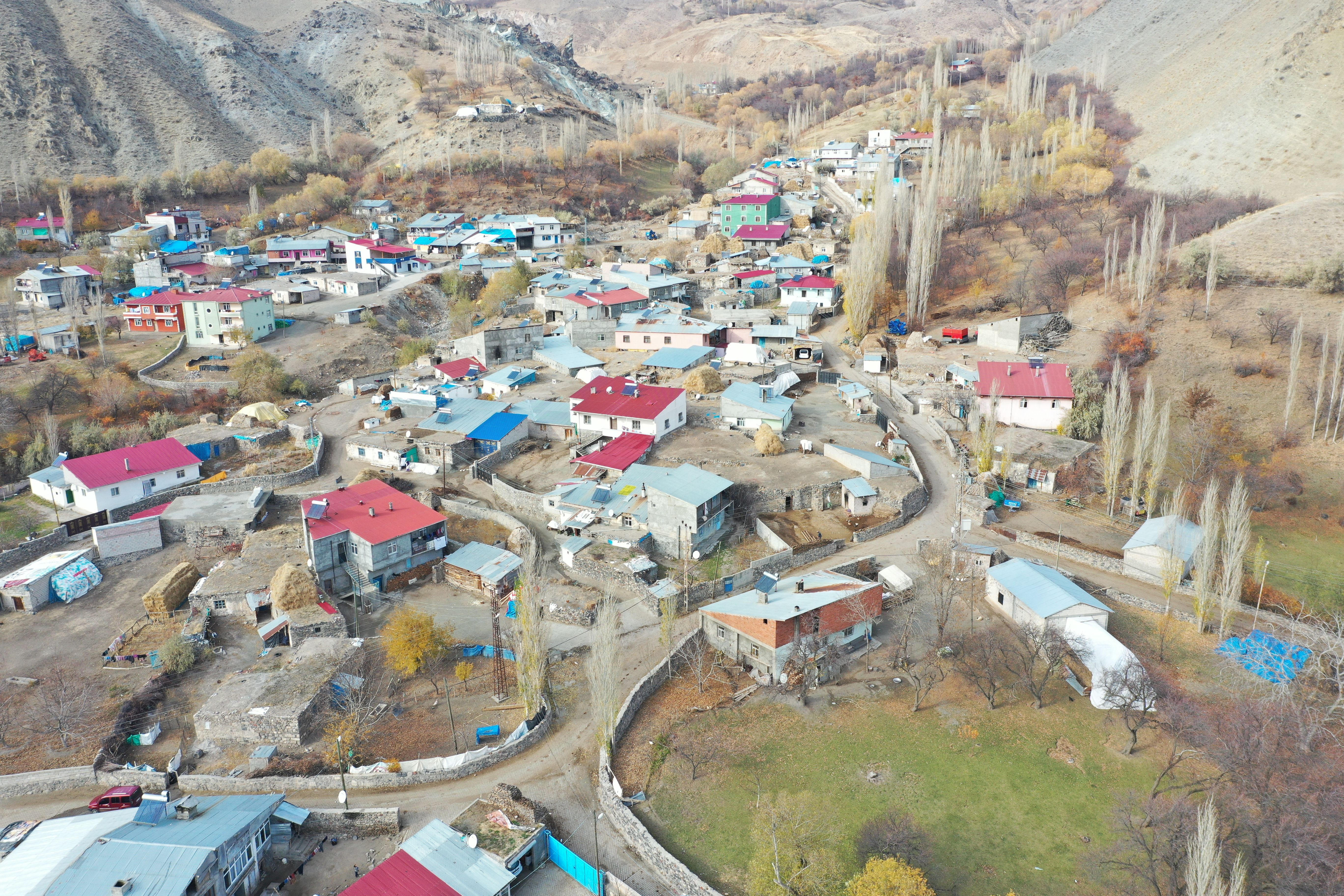
The district has not yet completed its tectonic formation in terms of geography. It was settled on faults and fractures. Therefore, earthquakes are dangerous in the region from time to time. There were 13 earthquakes between 1104-1962. On the other hand, there are mass movements in the form of falling, sliding and creeping. There are rockfalls around Kötek, Çallı, and landslides around Camuşlu-Kozlu, Yenice-Taşburun and Akdam villages. Kağızman district has 62 villages.