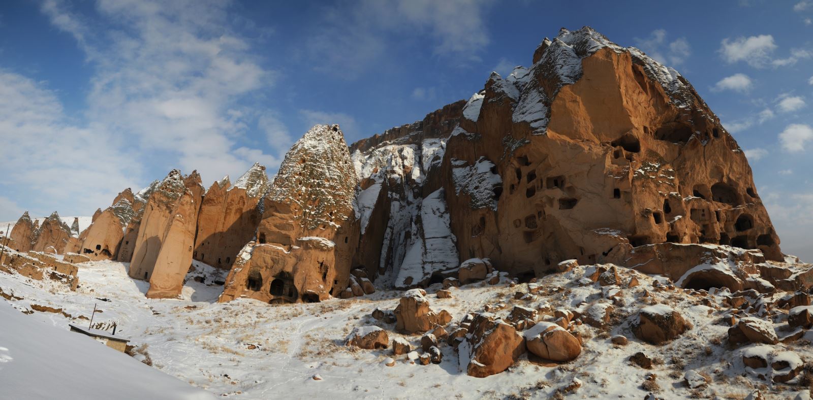

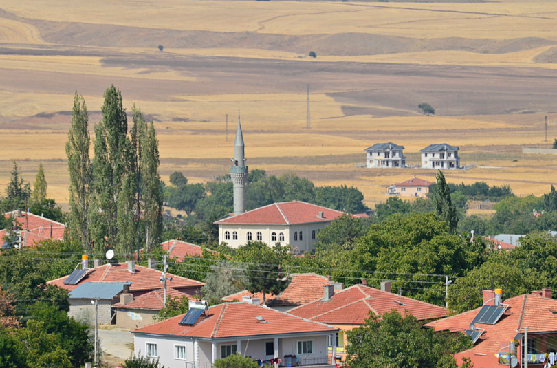
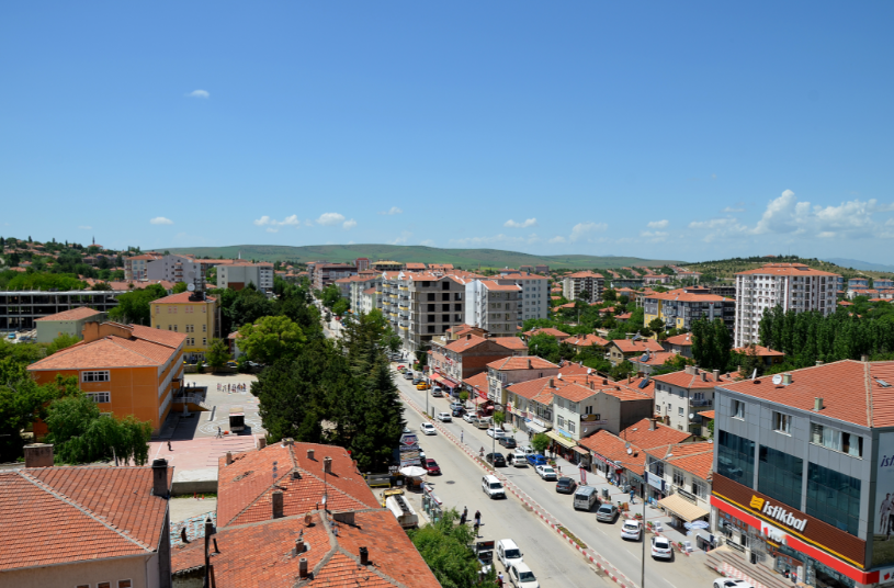
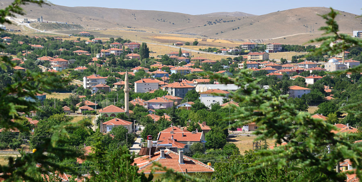

Kaman
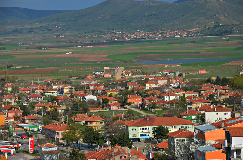
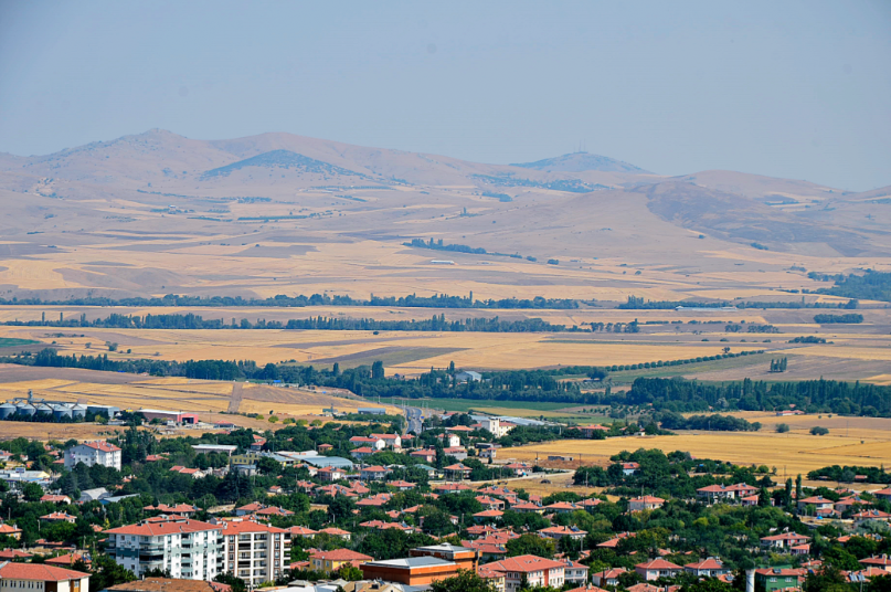
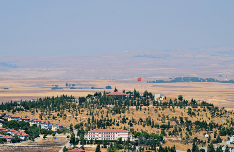
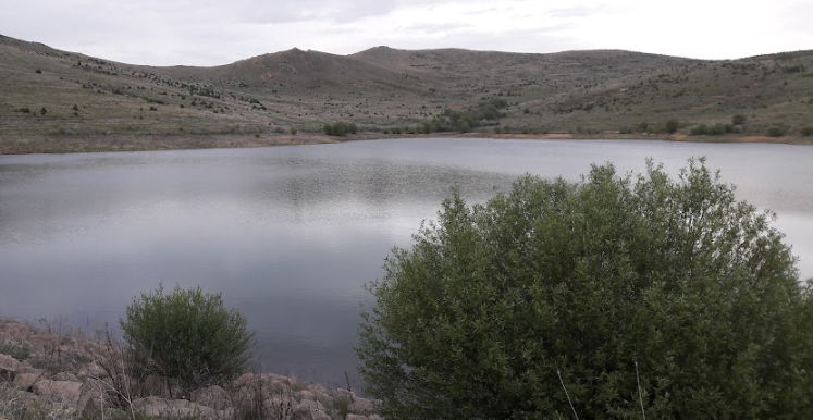
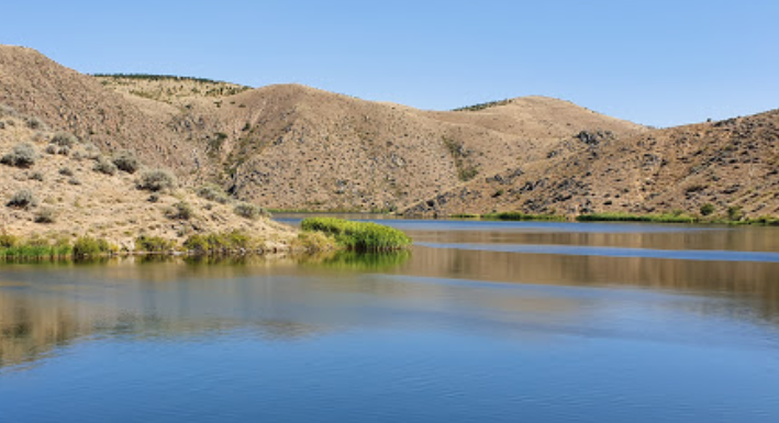
Kaman, which is a district of Kırşehir province in the Central Kızılırmak Section of the Central Anatolian Region, is surrounded by Akpınar and Kırşehir in the east, Bala in the west, Şereflikoçhisar in the south, and Keskin and Akpınar in the north. The lands of the district, located in the northwest of Kırşehir, are in the form of rough and high plateaus. Baranlı Mountain (1,963 m) between Kırşehir and Kaman is located in the east and southeast of the district. Ali Üllez Mountain (1,528 m), Topakkaya Mountain (1,300 m) and Buzluk Mountain (1,609 m) are located on the Baranlı mountain range. The biggest river is Kızılırmak passing through the district, and Büyükdere, Kılıçözü and Kırşehir Streams irrigate the district lands. There is no natural lake in Kaman, only small-scale ponds such as Hirfanlı Dam Lake and Darıözü irrigation pond are used for electricity generation and irrigation purposes.
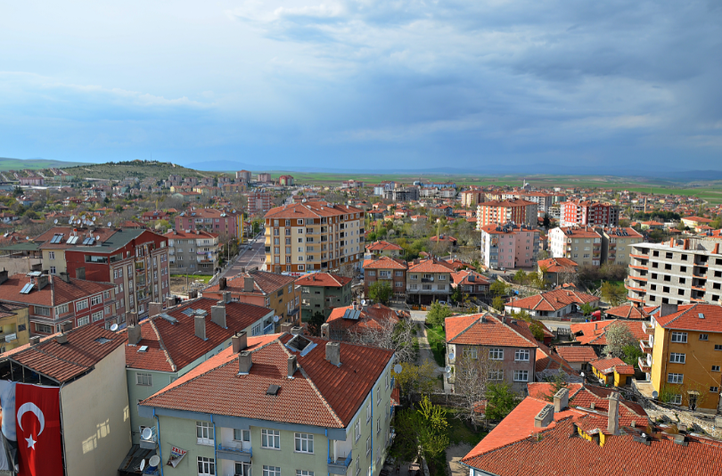
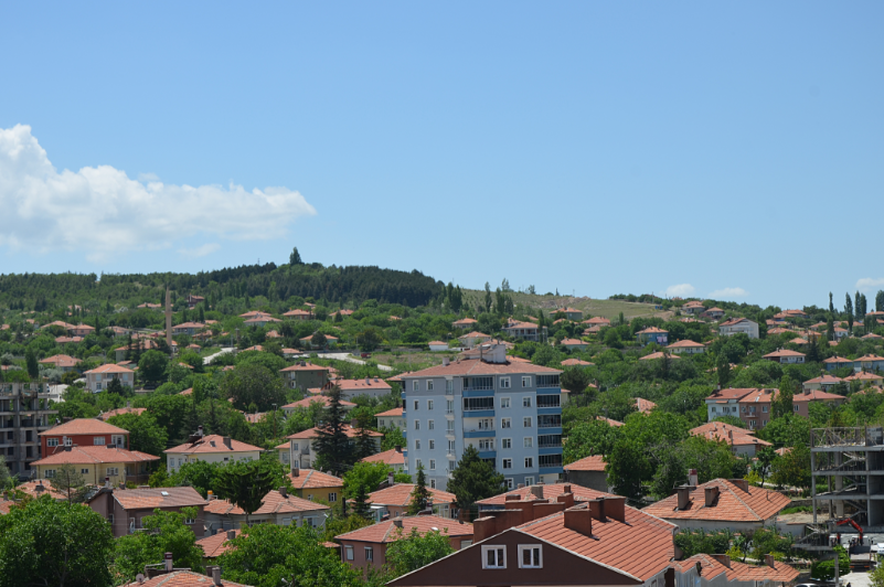
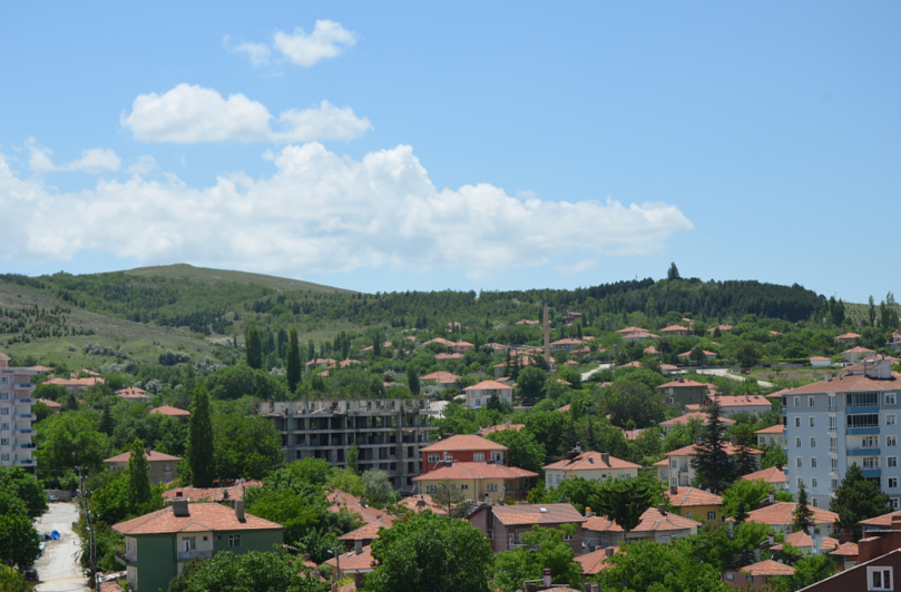
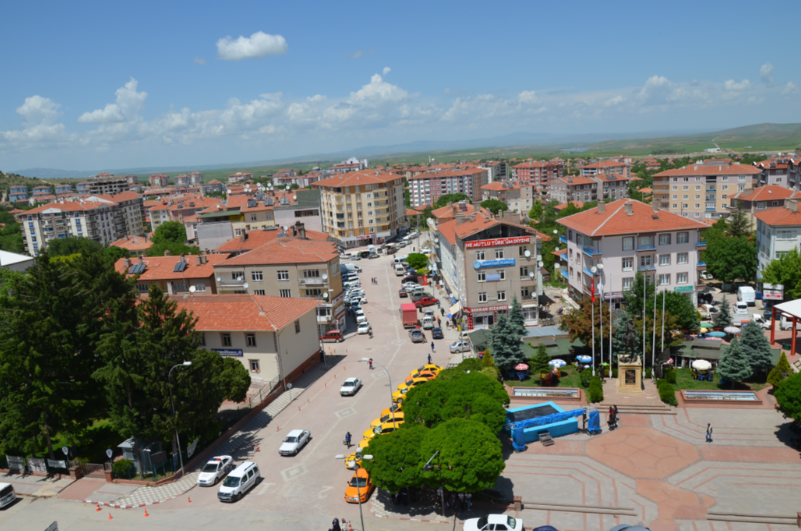
It is 52 km from Kırşehir and 130 km from Ankara. The area of the district, which has an average height of 1.075 m from the sea, is 1.365 km², and its total population is 64,415. The continental climate is dominant in the district. Winters are snowy, cold and harsh, and summers are dry and hot. The most rainfall occurs in the spring. There is no forest within the borders of Kaman district. The economy of the district; based on weaving, agriculture and animal husbandry. The main agricultural products grown are; cereals, legumes, forage crops, industrial crops, vegetables and fruits. Especially Kaman walnut is world famous and has an important place in the economy of the district. In animal husbandry, poultry, beekeeping, fishing and ostrich breeding are carried out as well as large and small cattle. Freshwater fish are abundant in Hirfanlı Dam and various ponds, and there are species such as carp, coral, catfish, tench, perch, and crane.
In Kaman, an important trade and carpet weaving center of Kırşehir, there are workshops that produce agricultural tools and metal goods. Colorful marble stone mines are operated in Ömerhacılı and Hamit villages of the district, and they are also exported to foreign countries. There are onyx and marble deposits on the land of Demirli village. In addition, there are iron, cement raw material and fluoride deposits on the territory of the district.
It is understood from the artifacts unearthed in the excavations carried out by the Ministry of Culture and the Japanese Middle East Cultural Center since 1986 in Kalehöyük, which is within the borders of Çağırkan Town, 8 km from Kaman, that Kaman and its region are a settlement dating back to 3000 BC. In this case, the Hittites settled here in 3000 BC. After the Old Hittite and Late Hittite periods, it is understood from the archaeological excavations and surface surveys that the Old and Late Phrygian Periods were concentrated in the region.
In 550 BC, Kırşehir and its region, along with the whole of Anatolia, came under Persian rule. Although no significant settlement remains and finds belonging to this period were found in Kırşehir, seals belonging to the Persian period were found in the Kaman Kale Höyük excavation. It is learned from the sources that there was a settlement named Zama here in ancient times. During the period of the Kingdom of Cappadocia, which was established in 333 BC, Kırşehir and its region were under intense pressure due to the lack of authority. In 18 AD, the Roman Emperor Tiberius officially annexed Cappadocia to Rome and made it a state. During the Roman period, the Kırşehir region spread rapidly in Christianity as well as paganism. In the Kaman region, there are remains of Byzantine buildings and the ruins of Ömerhacılı Castle. This indicates that there was a Byzantine settlement in the region.
After the Battle of Manzikert (1071), some communities from the Oghuz tribes settled in the place where Kaman was located. As a matter of fact, some village names in Kaman today show the close relationship with the Oghuzs. In the 12th century, the region, which was captured by the Danishmenians for a short time, was again dominated by the Seljuks. After the Battle of Kösedağ (1243), when the Mongols invaded Anatolia, Kırşehir was used as an accommodation place. The Mamluk Sultan Baybars came to Anatolia in 1277 and defeated the Mongols in Elbistan, and a part of the Seljuk army joined the Mamluks during this war.
Kırşehir and its surroundings came under the rule of the Eretna Principality in 1365. Kırşehir and its environs, which were given to Karamanoğulları after Timur's defeat of Yıldırım Bayezit in the Battle of Ankara (1402), II. It was definitely included in the Ottoman lands during the reign of Murad (1402-1451).
While Kaman was a parish center in 1913, it became a district in 1944. As a result of the transformation of Kırşehir into a district in 1954, it was connected to Ankara, and after Kırşehir regained the provincial status, it was again connected to Kırşehir as a district.
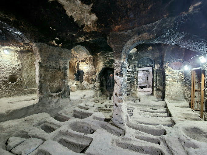
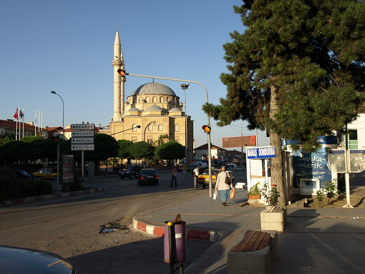
Among the historical artifacts that have survived from the district; There are Ömerhacılı Castle Ruins and Temirli Church. There is also Hirfanlı Dam and Lake in the district.