

Kartal
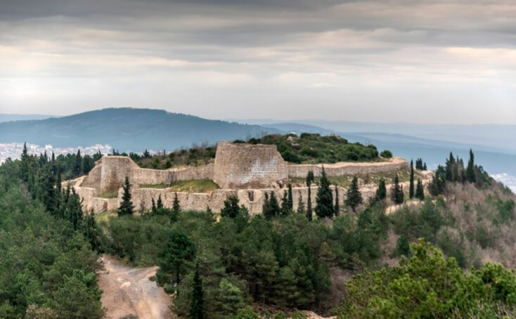
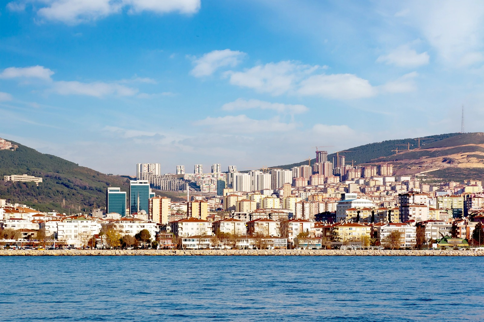
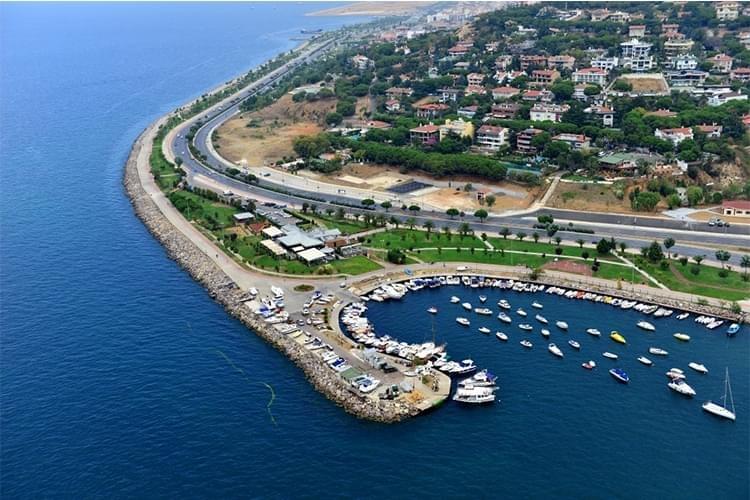
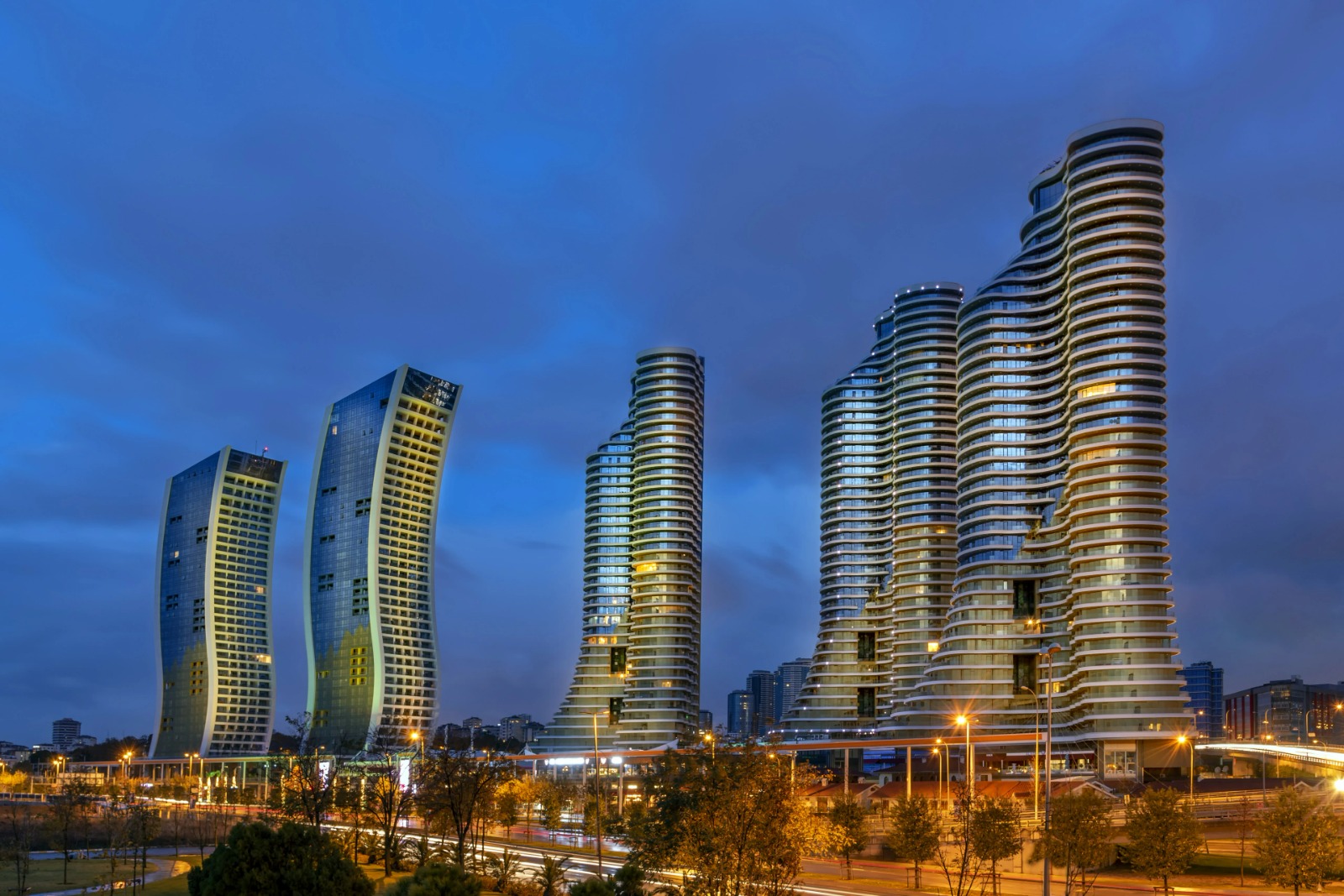
Kartal is a district located on the Anatolian side of Istanbul, on the coast of the Marmara Sea, in the southwest of the Kocaeli Peninsula. According to TÜİK 2019 census, it has a population of 470,626. It is a district with a surface area of 48,000 m², including its adjacent area. Kartal district is surrounded by Maltepe in the west, Sancaktepe in the north, Sultanbeyli in the northeast and Pendik districts in the east. The highest point of Istanbul is Aydos Hill and Yakacık Hill, called the Balcony of Istanbul, is in Kartal. Center of Kartal VI. It was a fishing village called Kartalimen in the 16th century. It is possible that the name of the district comes from the transfer of the name Kartalimen into Turkish or from Aydos Hill, which is located in the north of the district and means eagle in Greek. Kartal district is located in the southwestern part of the Kocaeli peninsula. It is surrounded by Pendik in the east, Maltepe in the west, Sultanbeyli and Sancaktepe districts in the north, and the Marmara Sea in the south. Kartal consists of twenty neighborhoods and has 2186 avenues and streets. Its surface area is 391.73 km², including Aydos Forest. Located between the rainy climate of the Black Sea and the mild climate of the Mediterranean, Kartal is under the influence of the cold of the Balkan Peninsula in winter, the rainy climate of the Black Sea and the mild sunny climate of the Mediterranean. For this reason, the transition from winter to spring and summer to autumn is often unnoticed. Winter lasts from December to April, with snowfall for an average of 7 days and frost for approximately 25 days. Summers are hot and dry and the average temperature is 24 degrees. The average winter temperature is around 5-6 degrees. Northeastern and southwestern winds are the dominant winds in the district. It is possible to examine the historical development of Kartal district from the beginning of the 6th century. It was understood that the historical artifacts unearthed during the excavations in the district's settlements such as Samandıra and Yakacık belong to the Byzantine period. After the capture of Pendik, Kartal and Maltepe by the Seljuk Sultan Kutalmışoğlu Süleyman Şah, who captured the whole of Anatolia in 1080-1083, an agreement was made in 1081 between this ruler and the Byzantine Emperor of the time, determining the Dragos Stream as the border, and Süleyman Şah committed not to go beyond this border. has done. This stream is a small water that forms the border between Maltepe and Kartal in the west of today's Maltepe and flows into the sea passing by the Dragos hill. The first border between Turks and Byzantines in Anatolia was established with this agreement. Kartal joined the Ottoman Empire around 1400. Kartal, which was a township of the Princes' Islands in 1755, became a township of Üsküdar in 1757. Kartal, which was a district of Izmit Sanjak in 1850, was connected to Üsküdar again with the Provincial Regulations in 1861. With a regulation issued in 1870, Kartal was established as a district governorship, and a year later it was permanently incorporated into the borders of the Istanbul city. In accordance with the Provincial Regulations of 1871, a municipality was established in Kartal and the first mayor of the district was Yasin Ağa. Kartal joined the borders of Istanbul Sehermaneti in 1888. Until 1928, it included the Bostancı, İçerenköy, Suadiye, İnönü and Kayışdağı neighborhoods of Kadıköy, which was then affiliated with Üsküdar, and today's Adalar district. After being declared an industrial zone in 1947, Kartal became one of the rapidly growing districts of Istanbul. The district acquired the town of Tuzla from Gebze in 1951, and this development gained momentum with the opening of the Haydarpaşa-Gebze suburban train line in 1973. Kartal, which was one of the major districts of Istanbul until 1987 and was adjacent to Kadıköy in the west, Üsküdar and Beykoz in the northwest, Şile in the north and Gebze in the east, was annexed to Pendik in 1987 (Tuzla, which was connected to Pendik in 1987, became a separate district in 1992). and in 1994, it gave the Esenyalı and Güzelyalı districts to Pendik and reached its current borders), in 1992 it shrank considerably with the separation of Maltepe (which was transferred to Ümraniye in 1994 and included the Yeni Çamlıca neighborhood of Ataşehir today) and Sultanbeyli districts, and in 1998. With the connection of Ferhatpaşa neighborhood, which was separated from Maltepe, to Samandıra Town, it became a neighbor of Kadıköy district again and although it grew slightly, its current borders are Samandıra, which was separated from Ümraniye in 2009 and connected to Sarıgazi, which became a district under the name of Sancaktepe, with Paşaköy and a small part of Ferhatpaşa district. It was reached by separating the majority of the district and the Ferhatpaşa neighborhood connected to Ataşehir. In the 2010s, the construction of the Anatolian Courthouse, one of the two main palaces of justice in Istanbul, in Kartal increased the importance of the district.