Transfers
Kemah
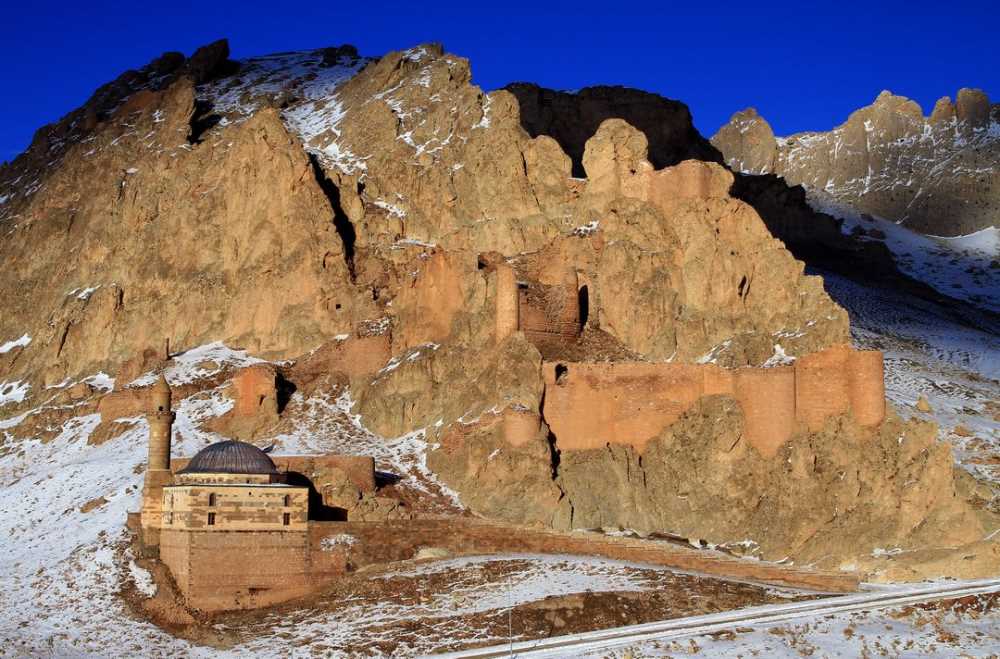
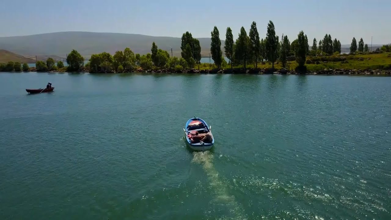
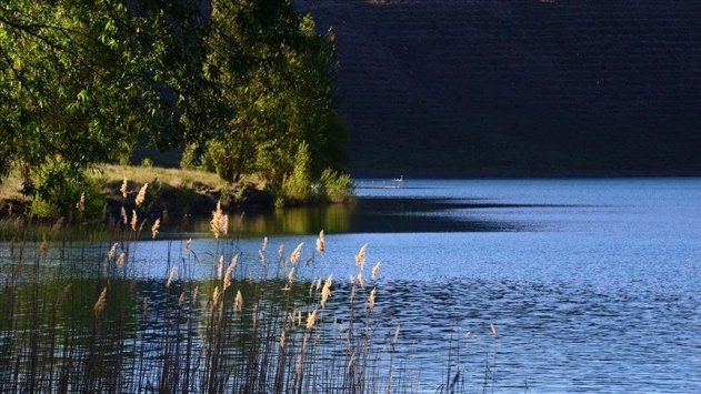
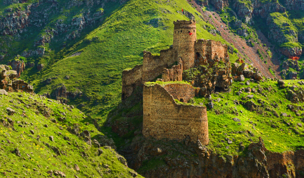
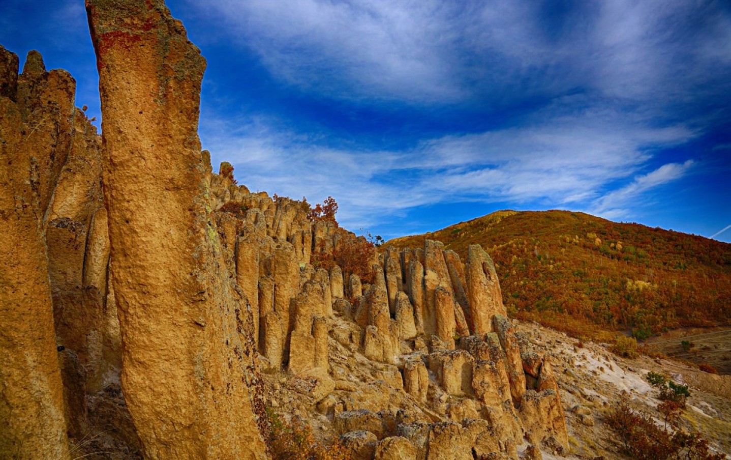
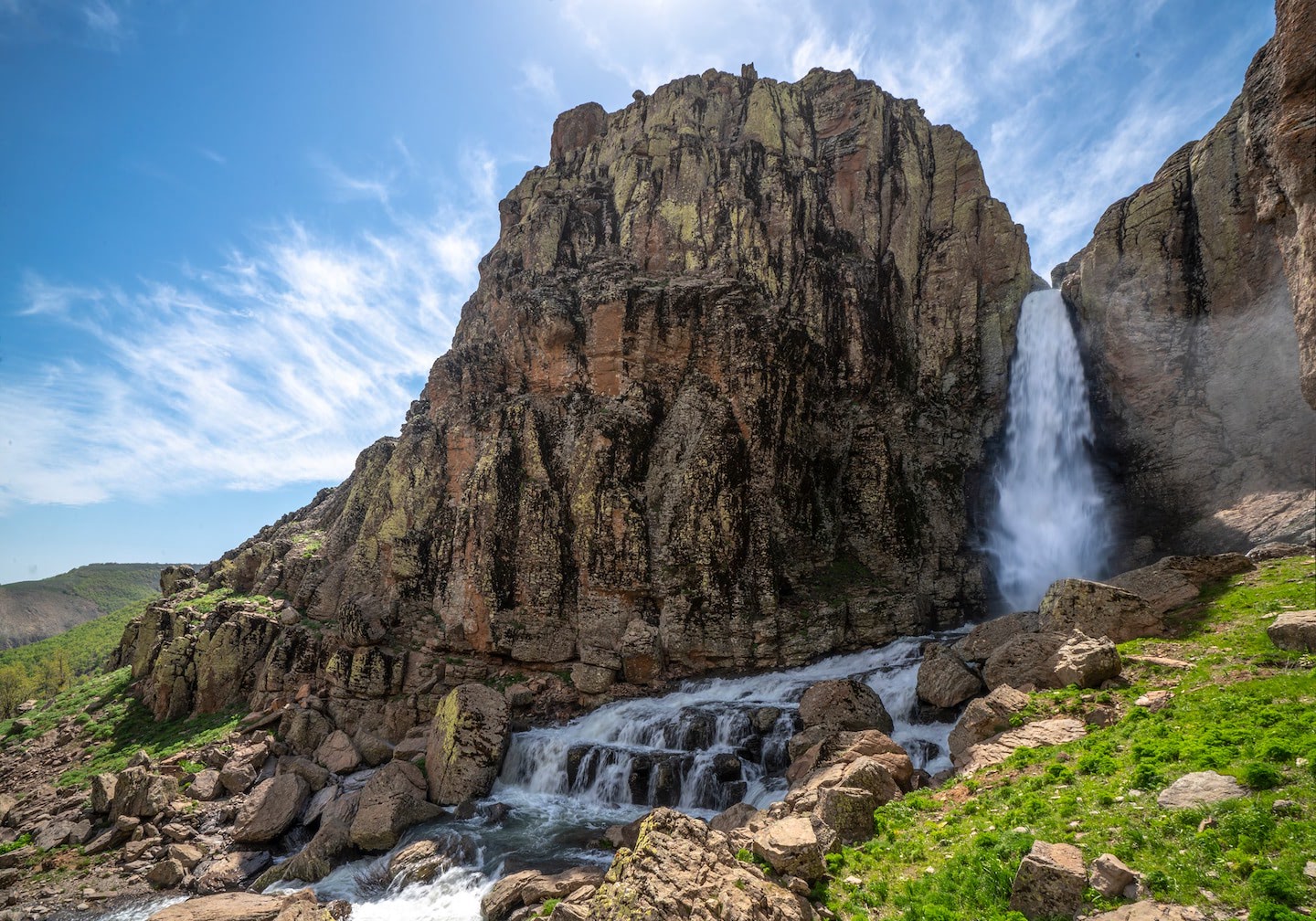
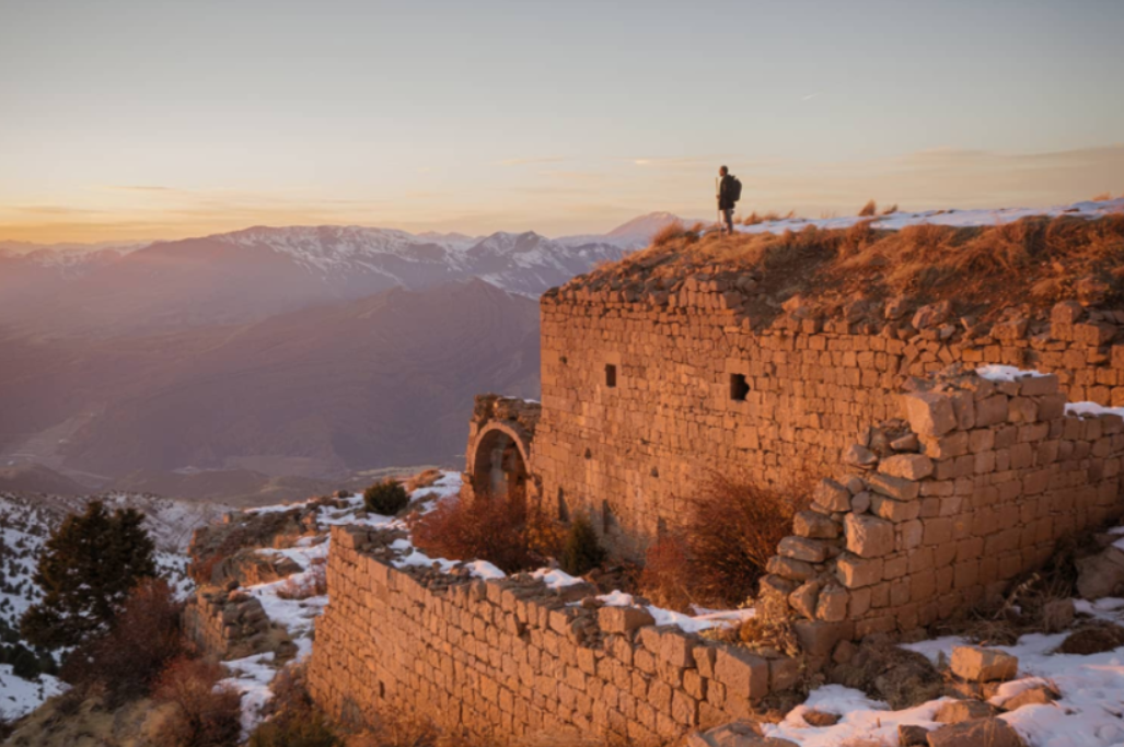
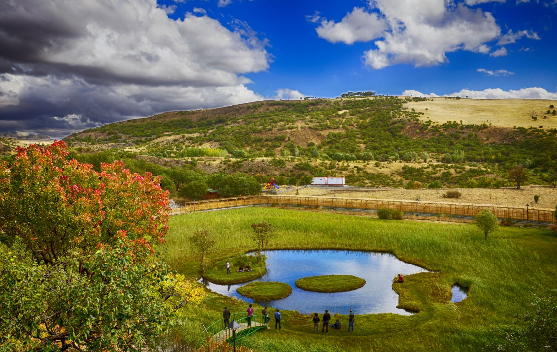
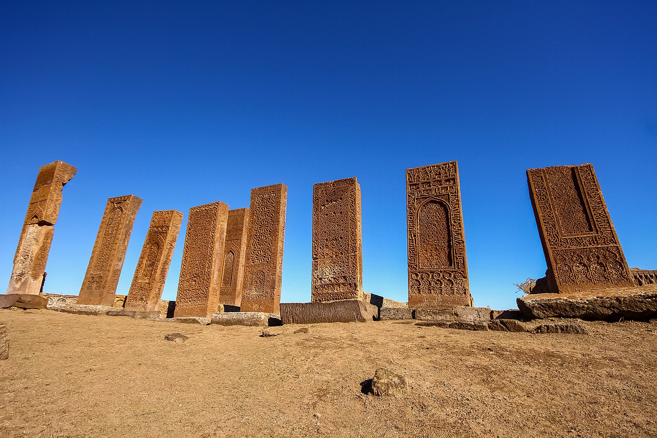
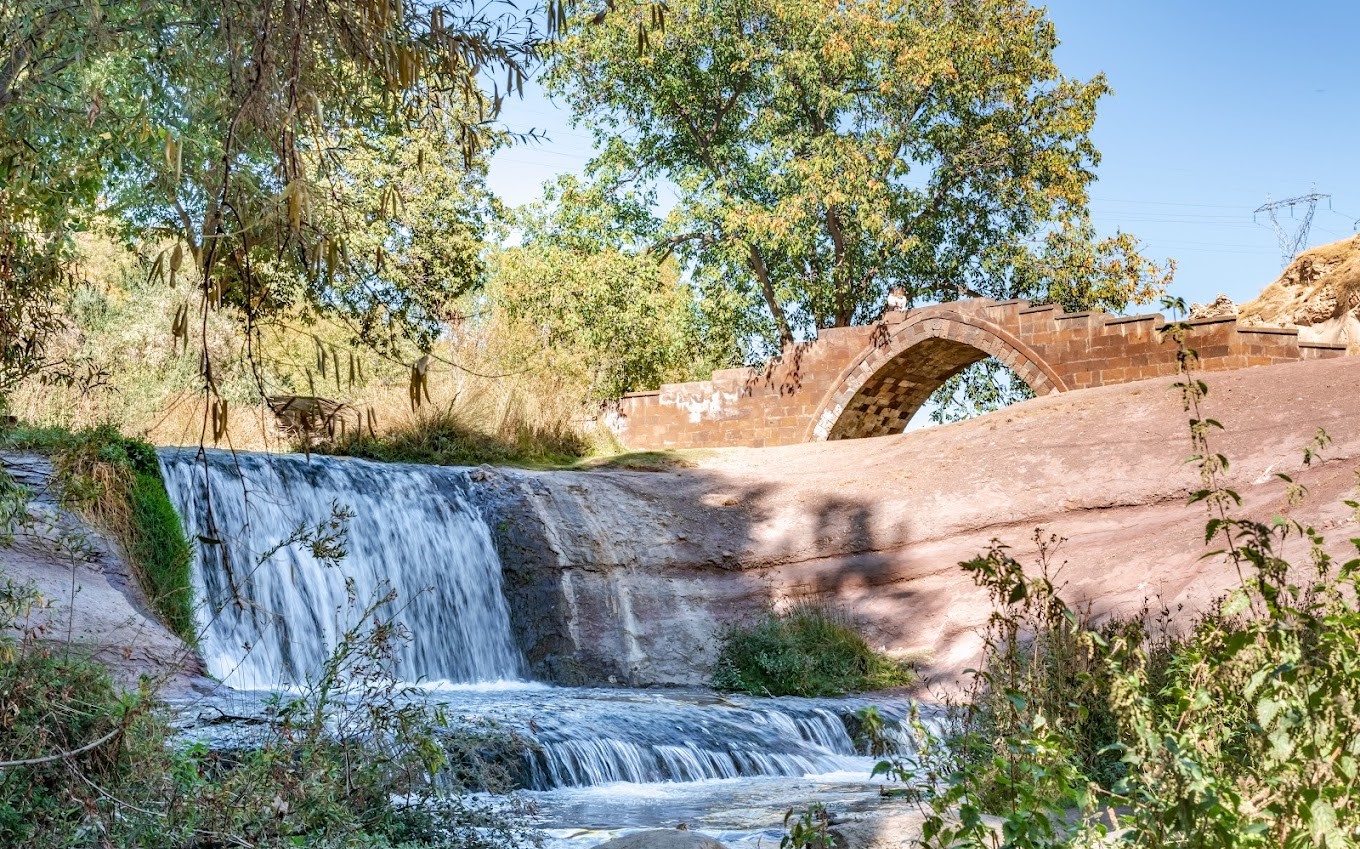
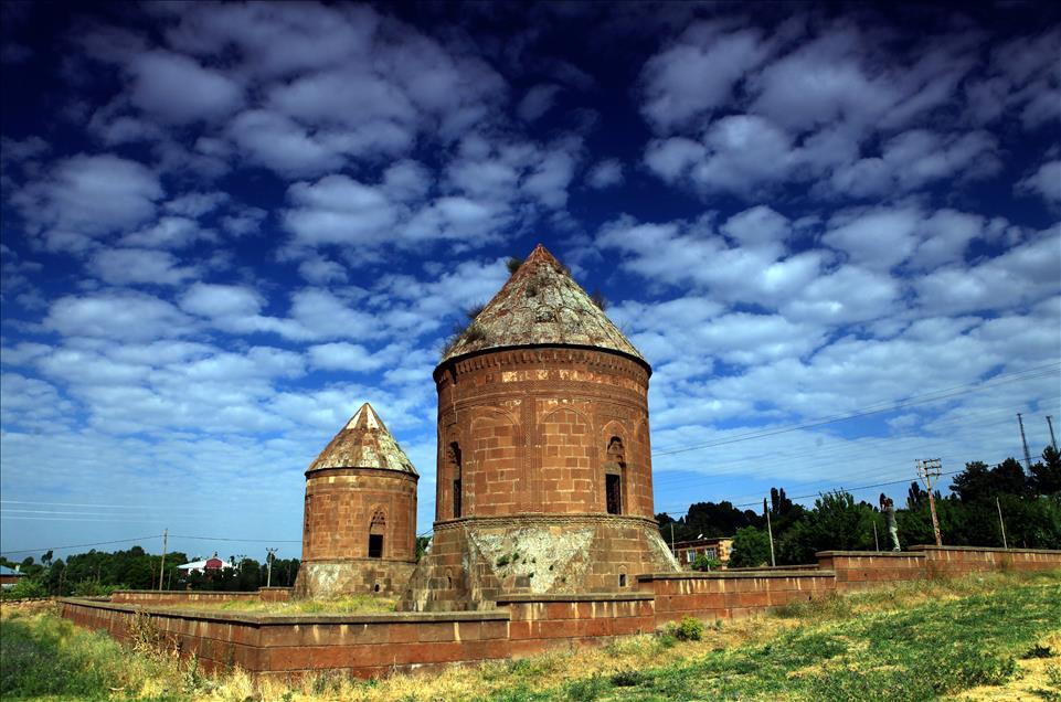
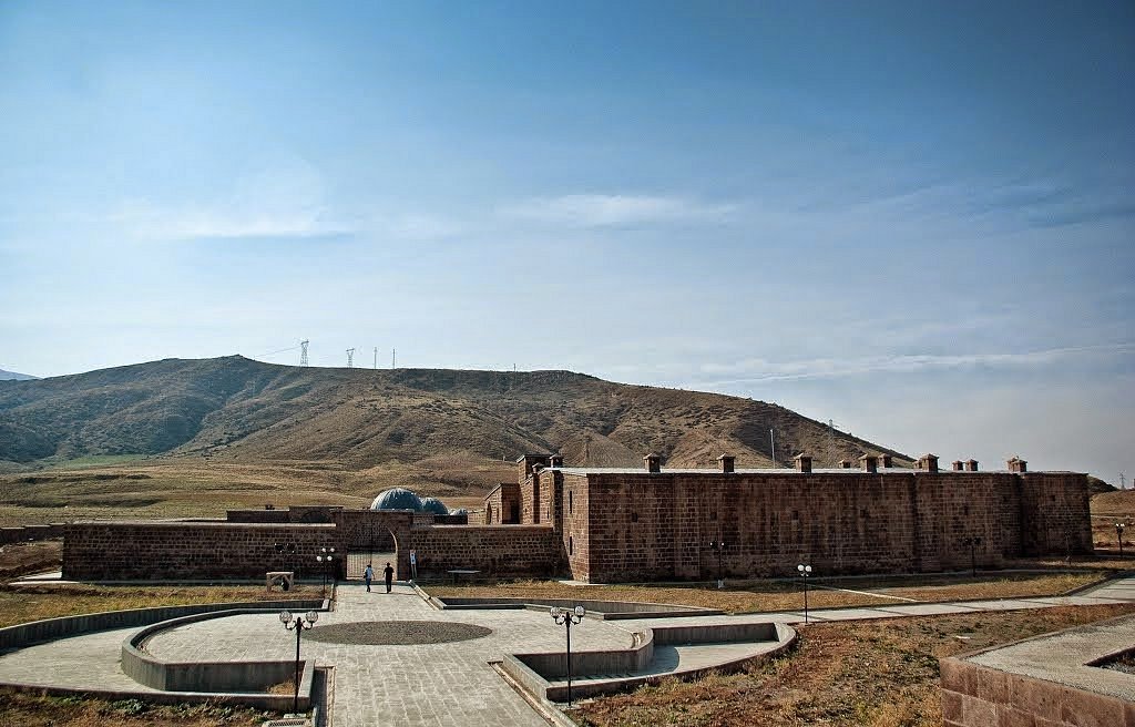
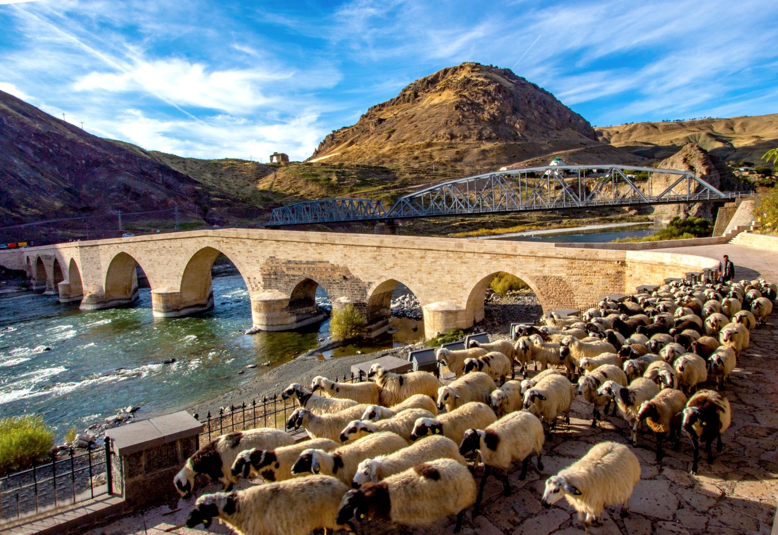
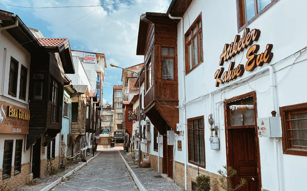
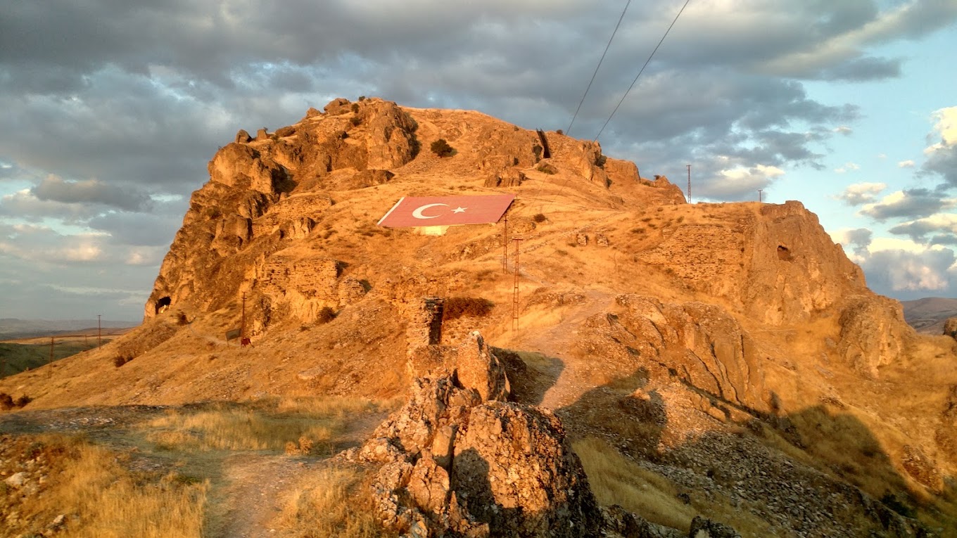
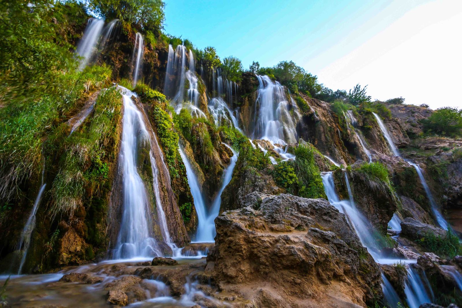
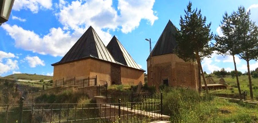
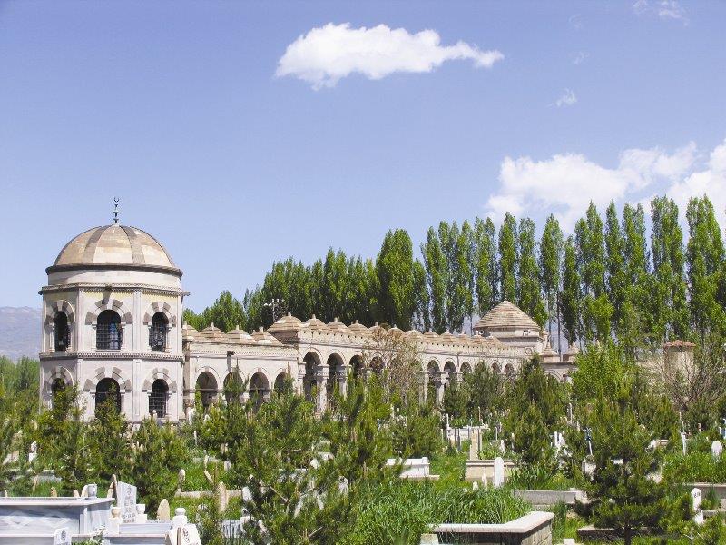
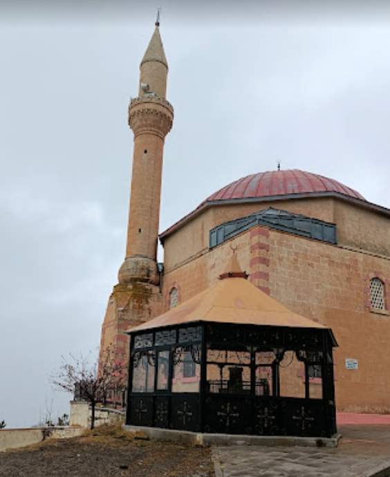
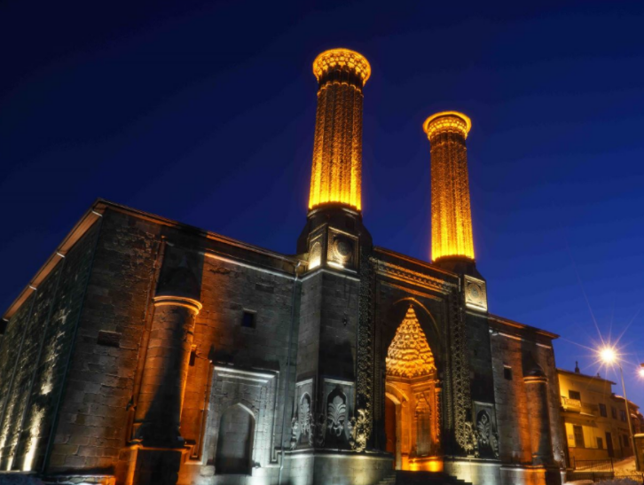
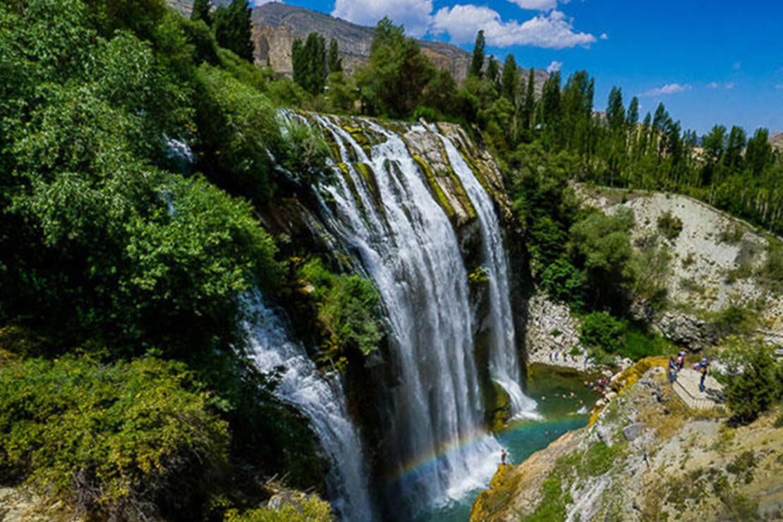
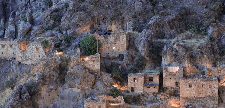
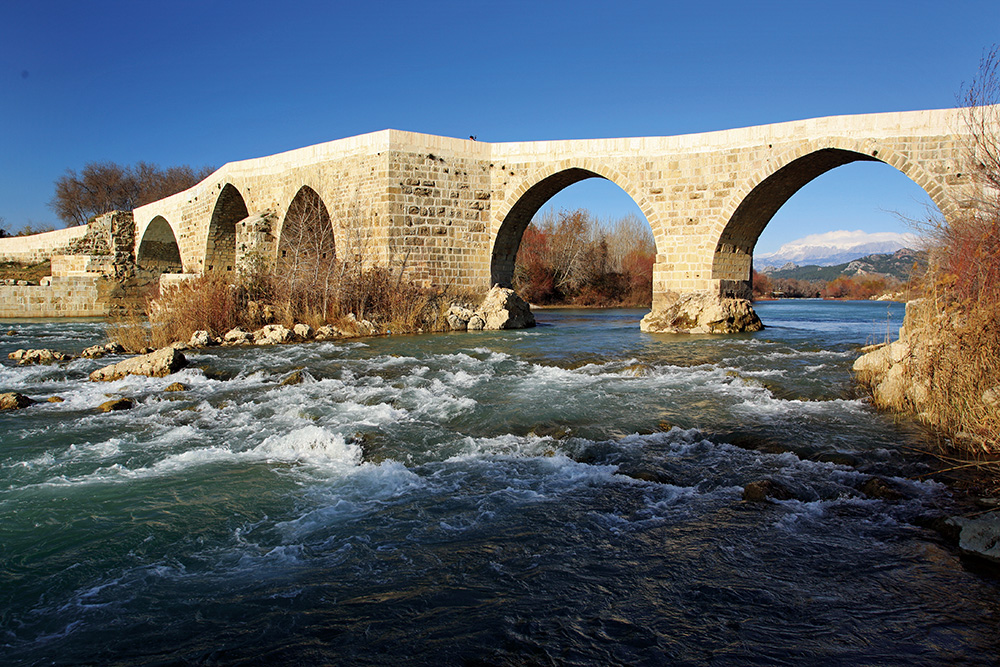
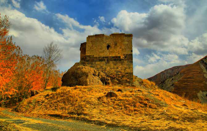
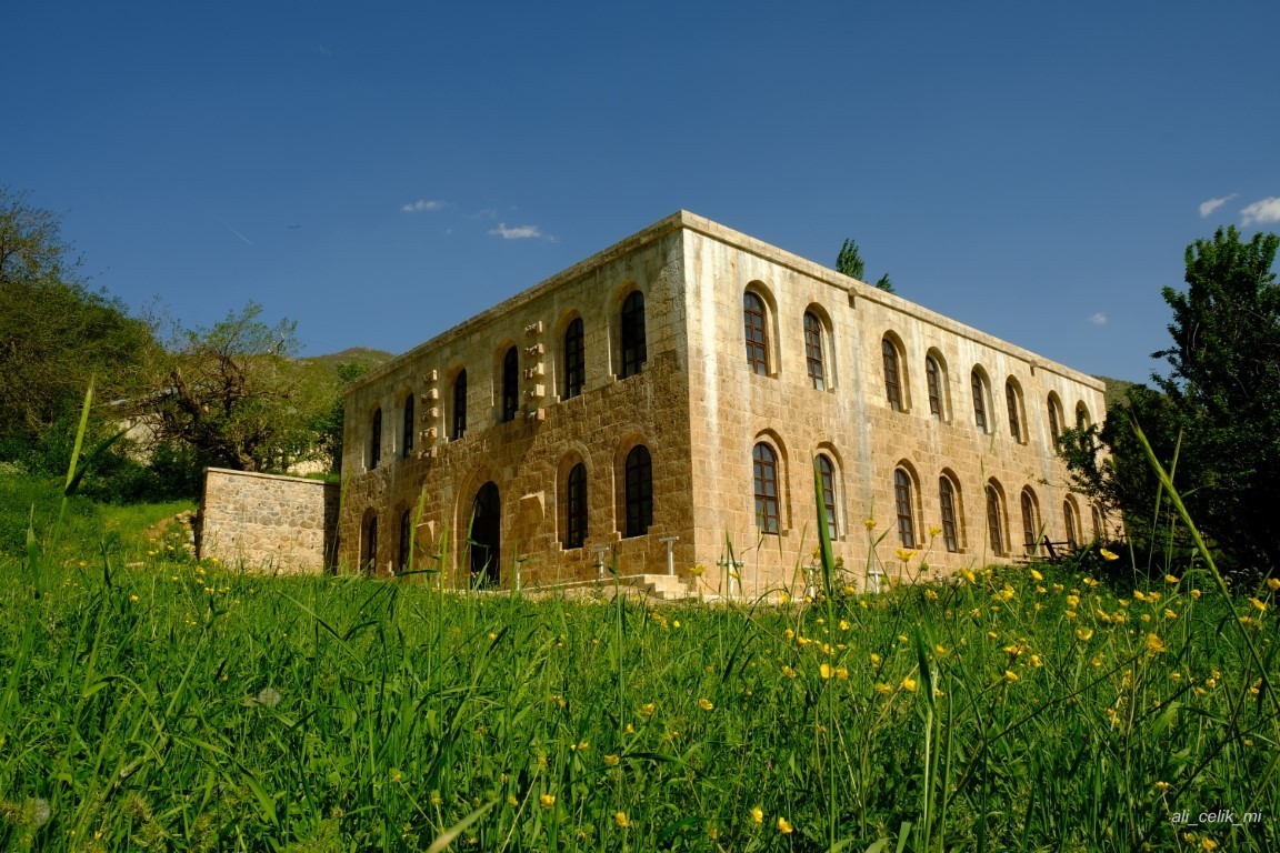
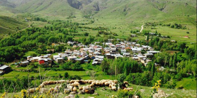
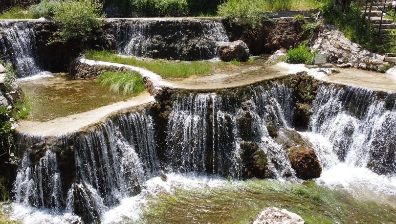
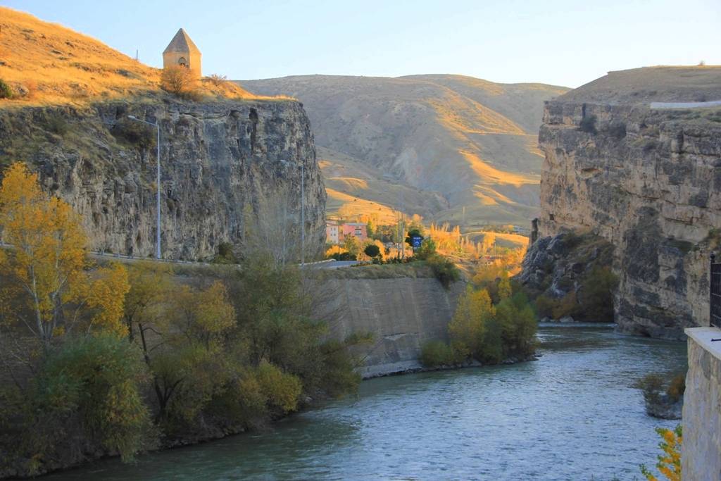
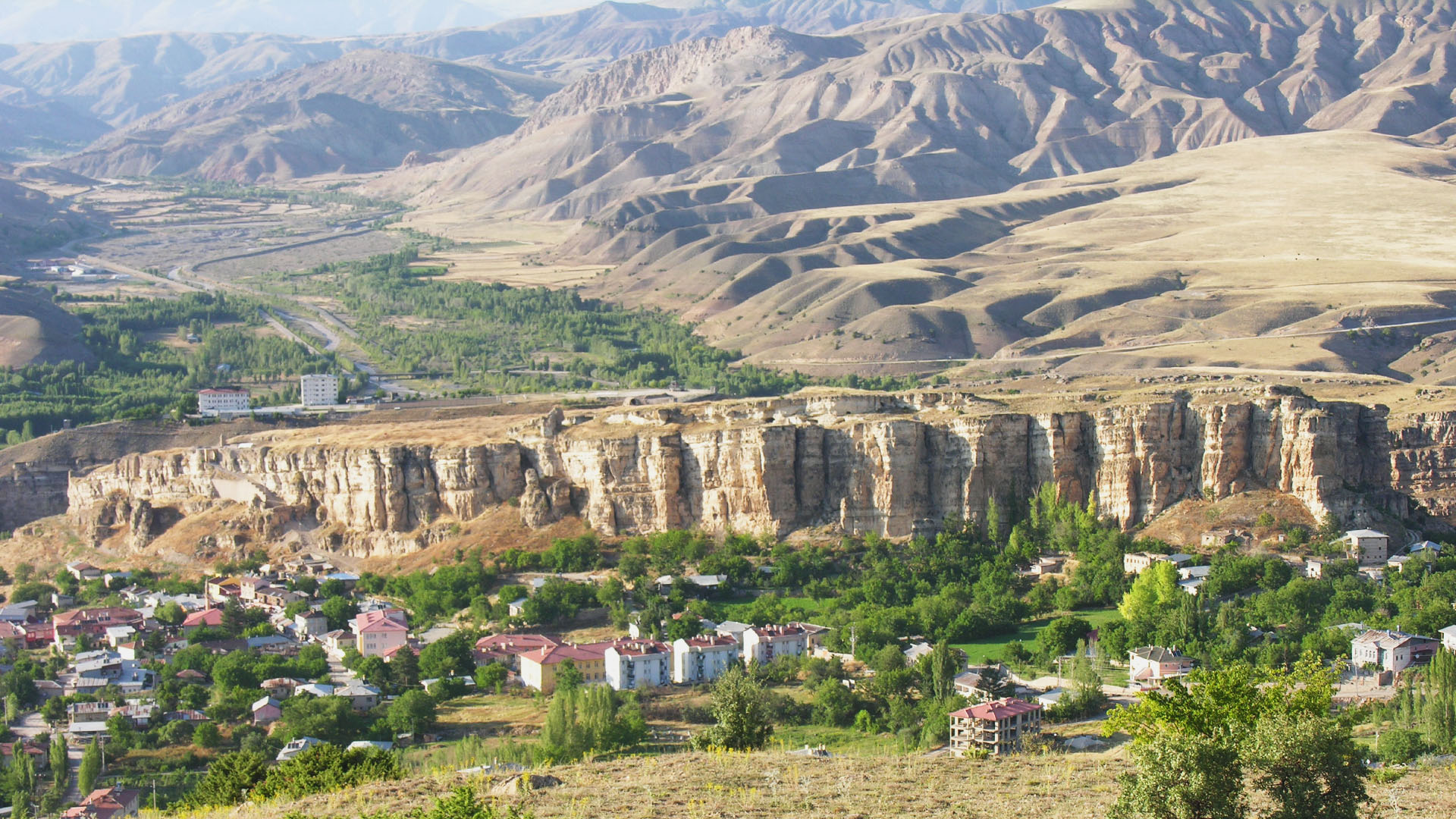
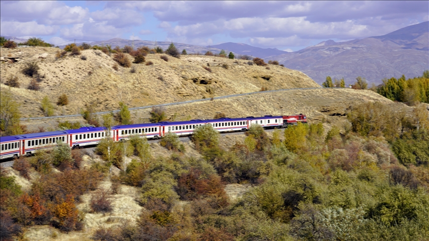
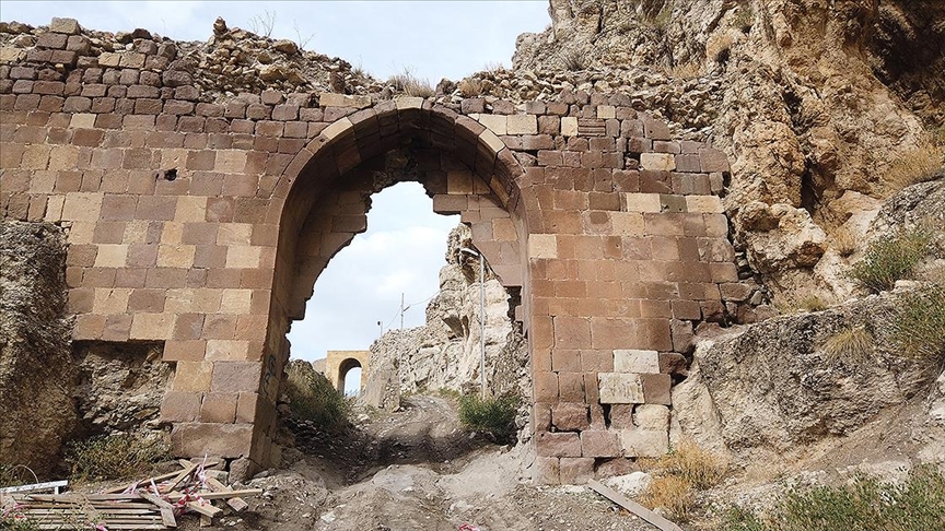
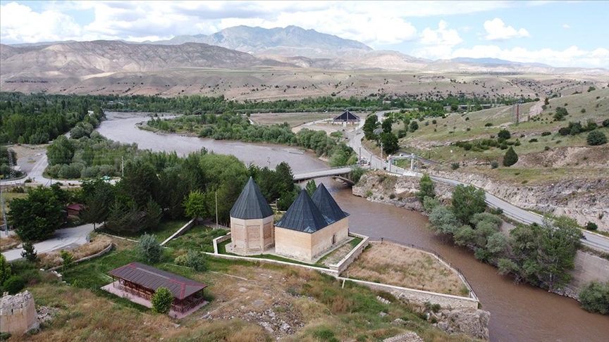
Kemah, formerly known as Gamakha; It was established at an altitude of 1053 meters from the sea on a rugged land located in the southwest of a strait bearing its name in the Upper Euphrates Section of the Eastern Anatolia Region and covers an area of 2354 km2. The district is 50 km from the city center of Erzincan. Connection with the city center is provided by road and railway. The railway between Istanbul and Kars passes through the district center. The Karasu River, a tributary of the Euphrates River, passes by Kemah and provides opportunities for all kinds of water sports. Kemah Castle has an important place in history. It has always been indispensable in history, as it is very suitable for defense due to its natural structure. Although it is not known exactly by whom and when it was built, it is stated in some sources that it was built by the Arzakians in 205 BC. In recent years, archaeological excavations have been carried out in the historical castle by Erzurum Atatürk University. Kemah Castle, some parts of which have been restored, has been opened to visitors. The famous Turkish traveler Evliya Çelebi gave an important place to Kemah Castle in his Travelogue (17th century) and expressed the strength of the castle. open-air temples, cult centers, medieval monasteries, churches, holy springs, chapels, watchtowers, Seljuk cupolas, Ottoman mosques, masjids, madrasas, inns, baths, tombs, fountains, tombstones and dimension houses. It is an ancient settlement with its cultural assets[3]. Kemah is also famous for its clean air, natural beauties, natural salt, tulum cheese, flower honey, walnuts and cold waters filtered from the Munzur mountain snow.