
Transfers
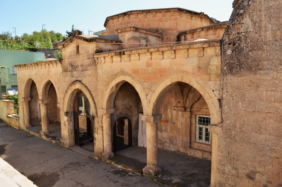
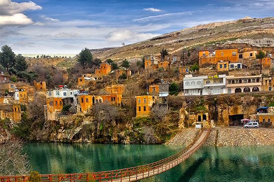
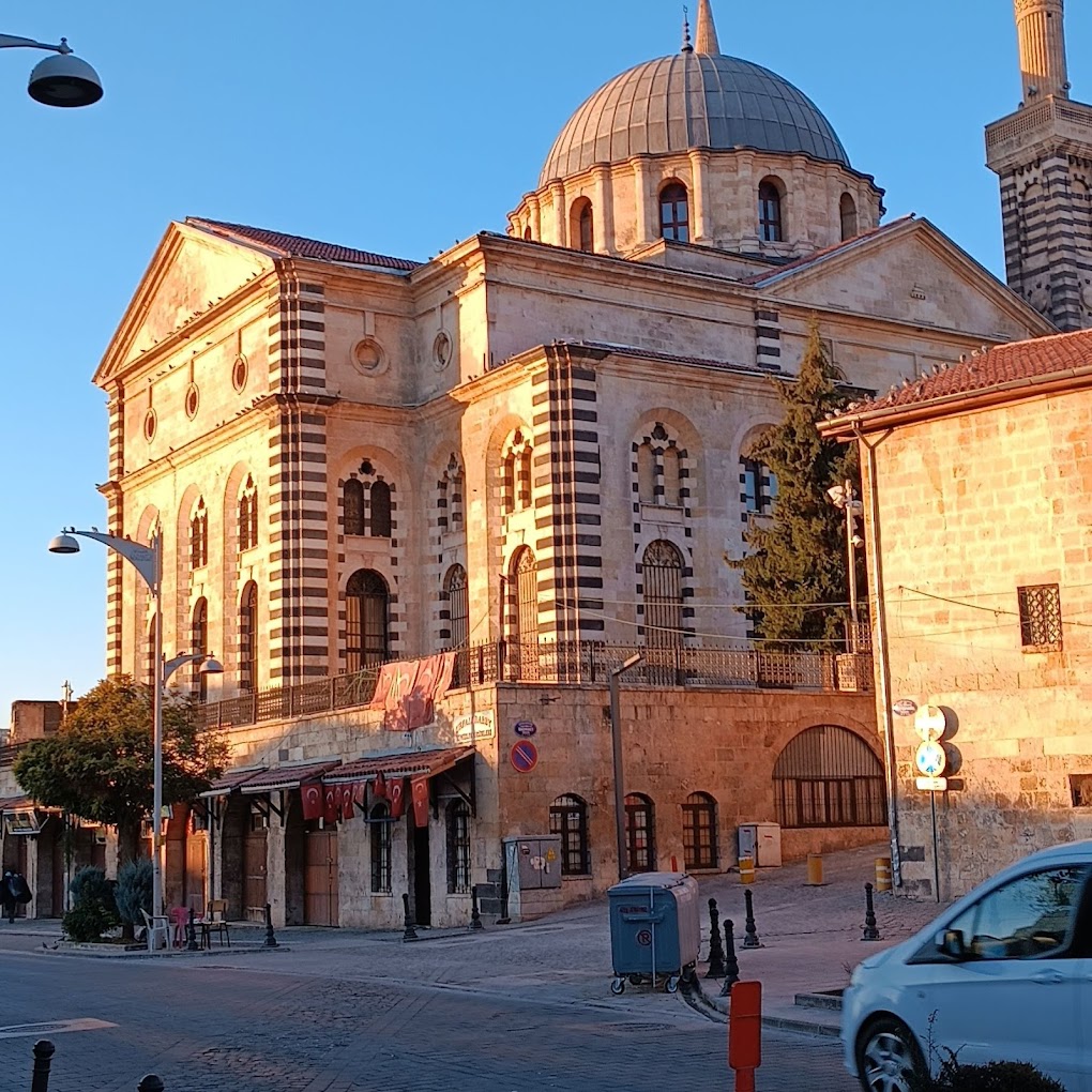
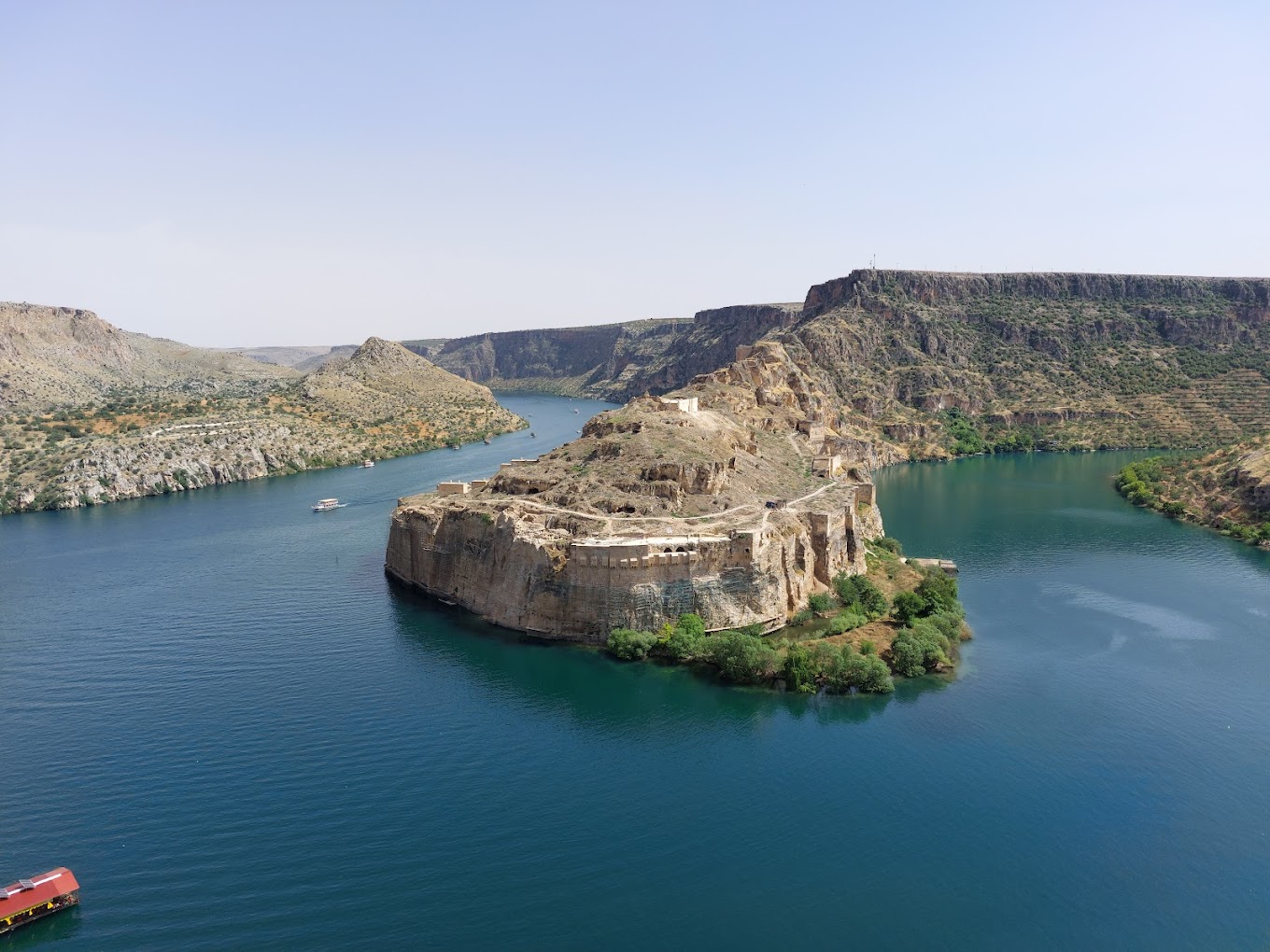
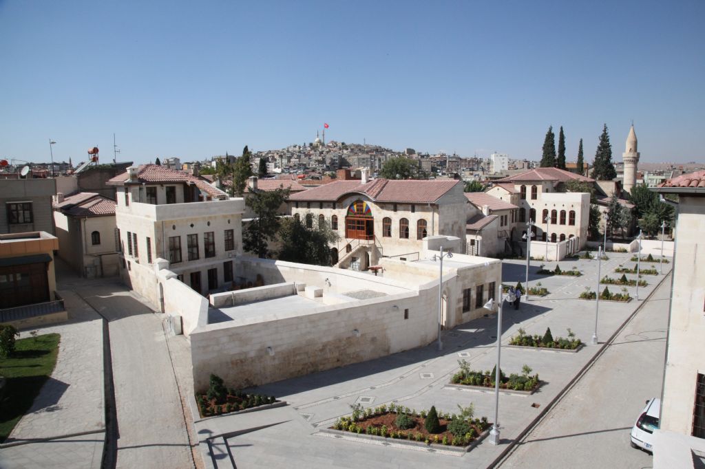
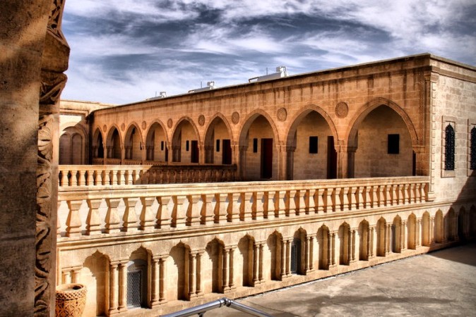
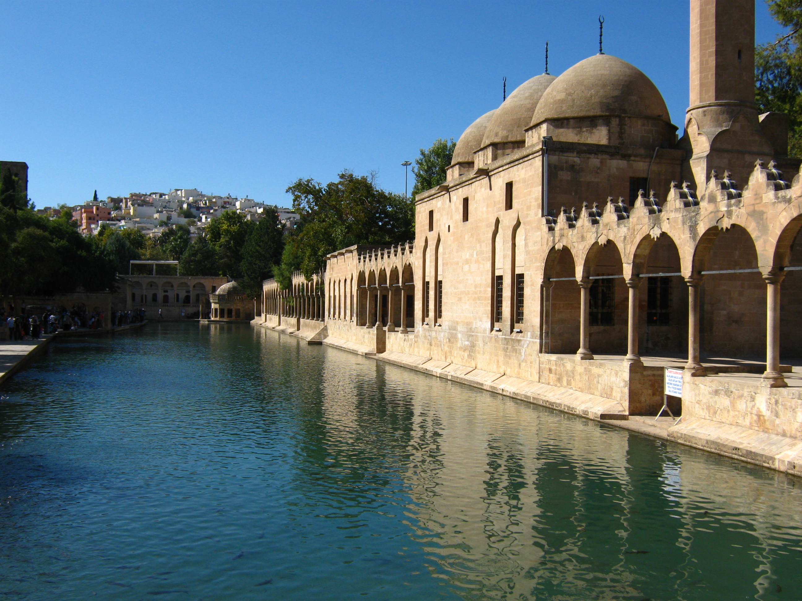
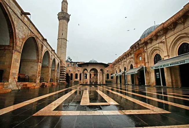
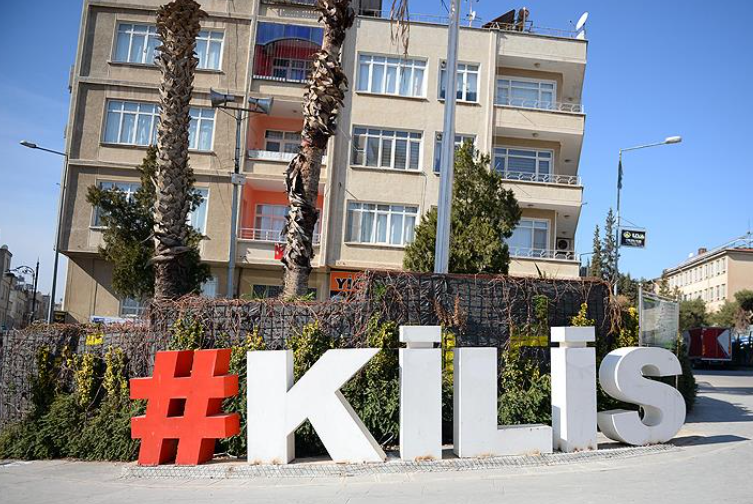
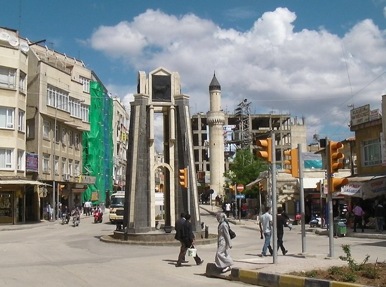
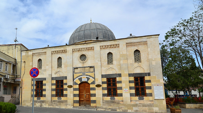
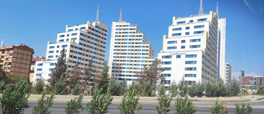
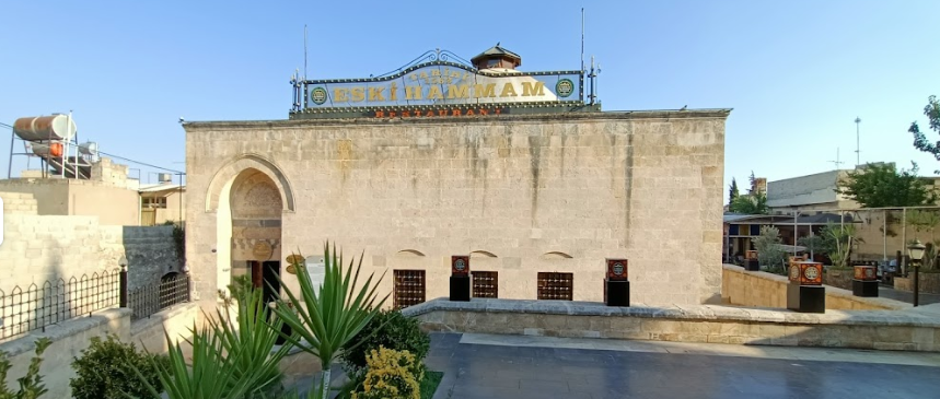
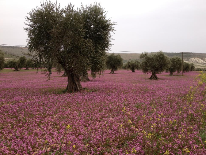
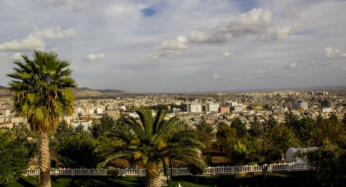
Kilis City Center
It is the central district of Kilis province in Turkey's Southeastern Anatolia Region.
Kilis city center is 55 km from Gaziantep and 10 km from the Syrian border. Kilis, with a surface area of 1,521 km2, is between 360 N latitude and 320 E longitude along the Turkey-Syria border, on the southwestern part of the Gaziantep Plateau extending between the Hatay-Maraş trough and the Euphrates River in the Southeastern Anatolia Region. With this location, the city is located on the transition zone between the Mediterranean and Southeast regions.