

Küçükçekmece
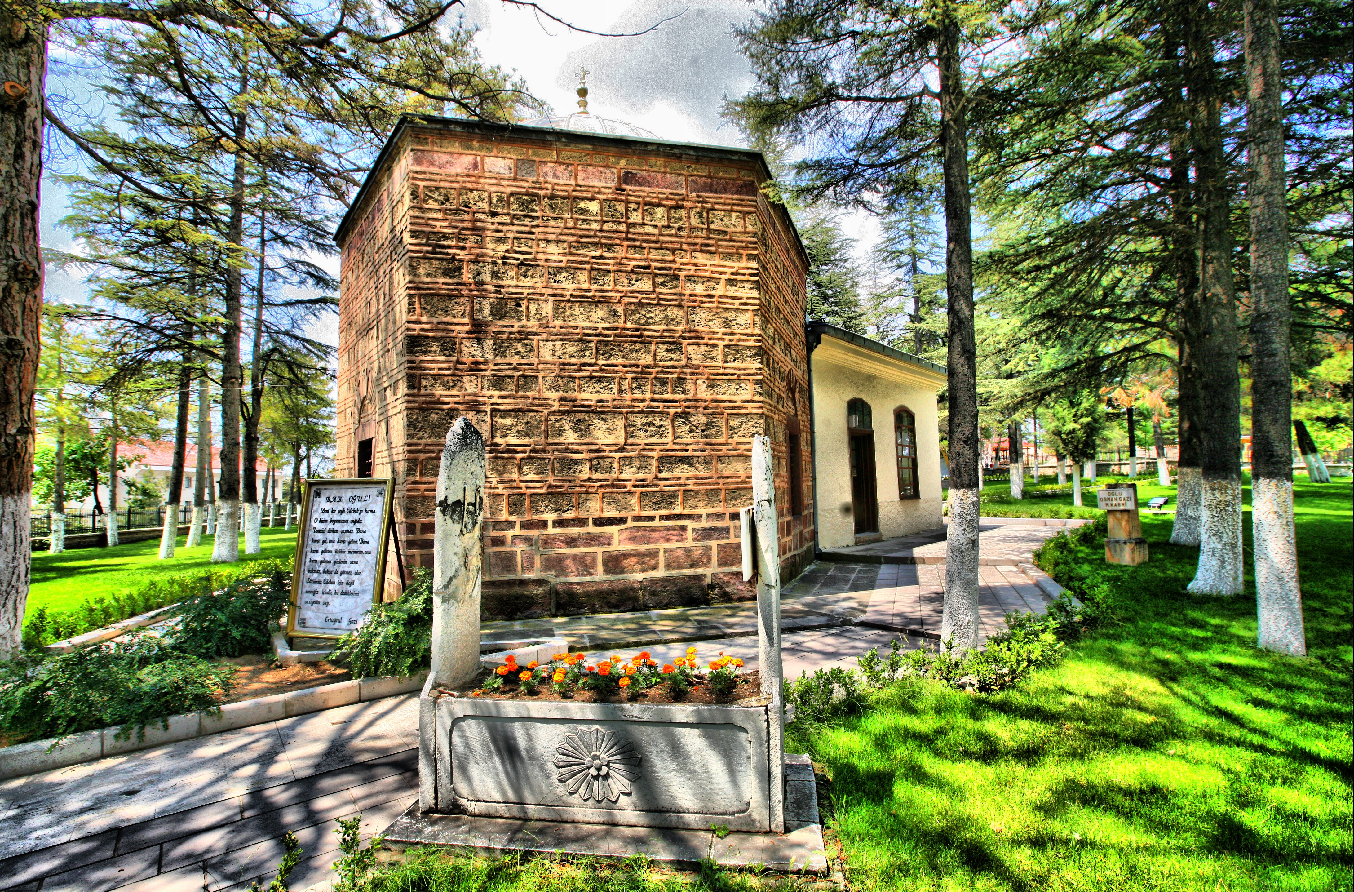
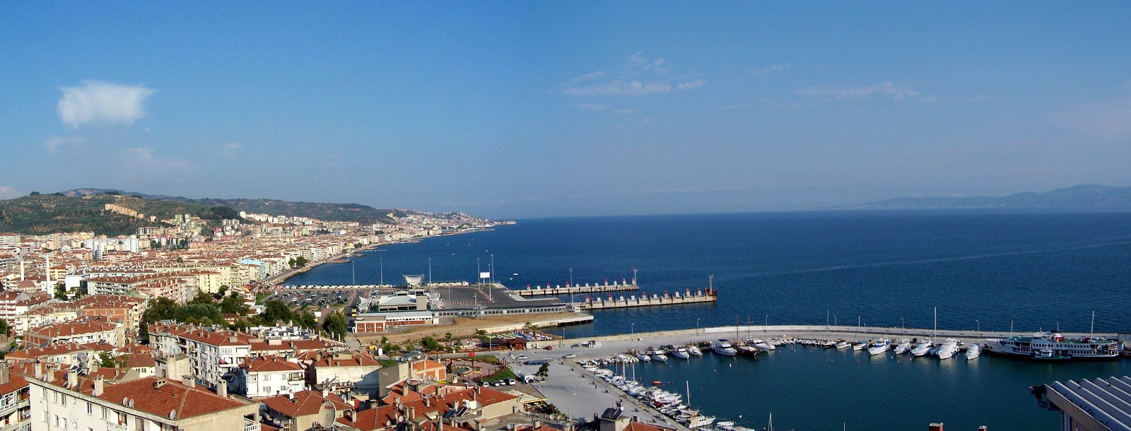
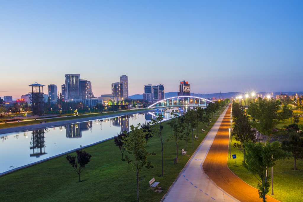
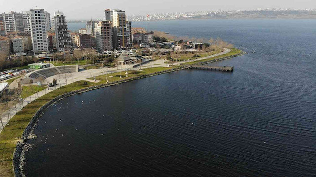
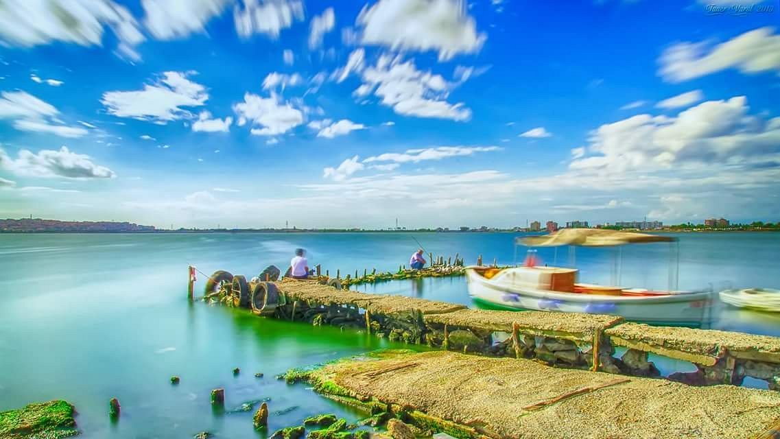
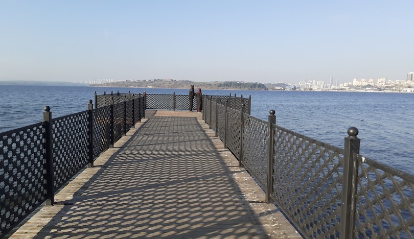
Küçükçekmece is a district established around the lake of the same name in the west of Istanbul. There are Avcılar and Küçükçekmece Lake in the west, Başakşehir in the north, Bahçelievler and Bağcılar in the east, and Bakırköy and the Marmara Sea in the south. It is located in a 1st degree risky earthquake zone. In 1987, a total of 27 settlements, including two villages (Kayabaşı and Şamlar) and 25 neighborhoods, were separated from Bakırköy district and established. It reached its current borders when Avcılar became a district in 1992 and Başakşehir became a district in 2009. As of 2009, it consists of 21 neighborhoods. It ranks 12th among the 39 districts of Istanbul in the quality of life index ranking. It has coasts to the Marmara Sea and the Küçükçekmece Lake, to which it is named. There are different opinions among historians regarding the origin of the name Küçükçekmece. Hakkı Raif Ayyıldız wrote in one of his articles: He explains why the region got its name Küçükçekmece as follows: "Very thick stakes were driven into the swamp and ropes were stretched between them. Passengers would fill a big raft, and the raftmen would pull the raft and float it to the other side of the canal; for this reason, the names of the passages of the two lakes were "Küçükçekmece" and "Büyükçekmece". Although the name "Çekme" is attributed to the depressions in this region, it can be said that the closest assumption to the truth is that it was given because of the caged sets that were placed in the canal and opened by pulling up to catch the fish entering the lake. Moreover, in the old Ottoman Foundation books, the region was called "Çekmek-" It is called "i Küçük". The history of Küçükçekmece district is, in a way, the history of Istanbul. An empire that dominated Istanbul dominated the Küçükçekmece region. There was an ancient city called Rhegion in the high parts of Küçükçekmece, in the region called Tepeüstü today. The Roman Empire was followed by Byzantium. Via Egnatia passed through Rhegion, one of the most important roads connecting it to the city.It is stated in various sources that this region was destroyed in a major earthquake in the middle of the century. Garip Dede Tomb, Abdüsselam Mosque and Tomb, Menekşe Creek Bridge from the 4th century, Küçükçekmece Bridge from the 17th century, Vizier Mehmet Pasha Fountain from the 18th century, Ottoman Match Factory from the 19th century are the historical buildings in the district. During the Republic period, the intense population flow occurred after 1950.