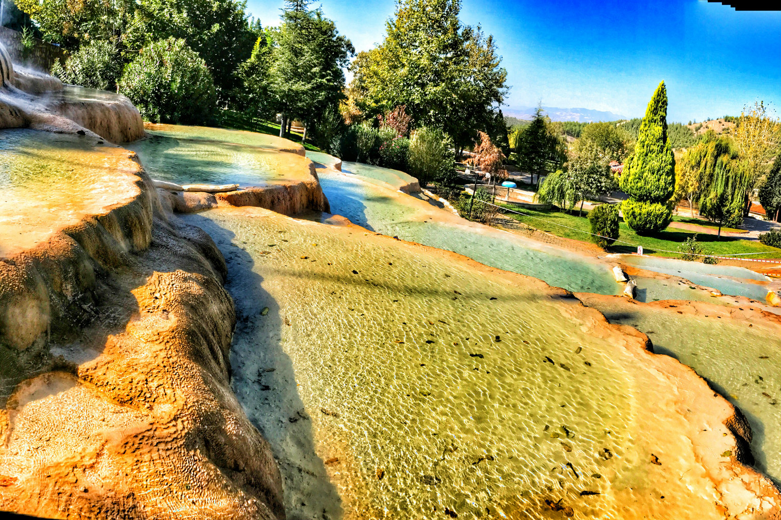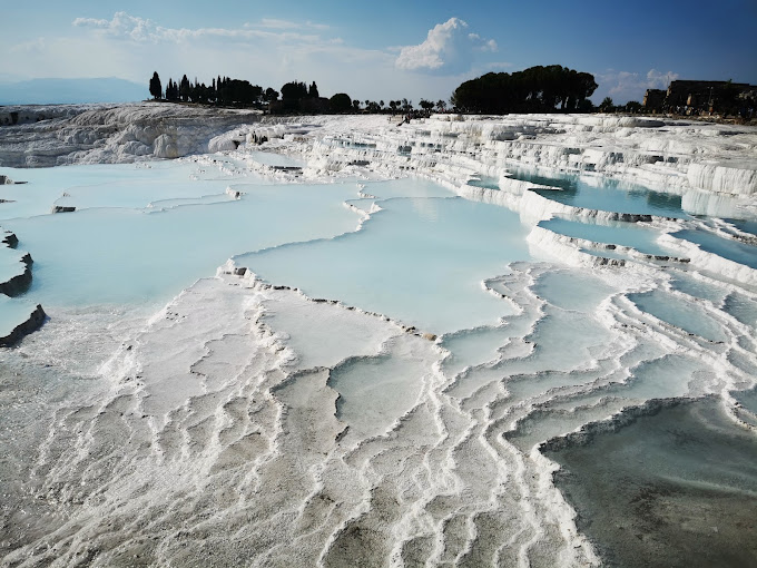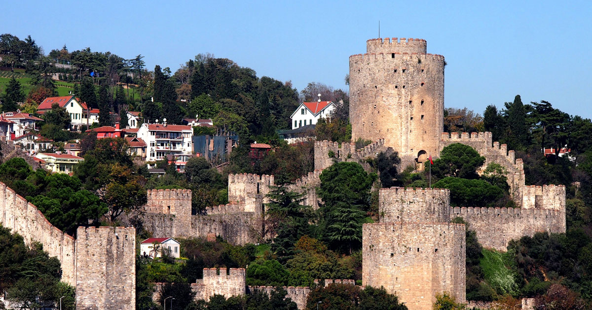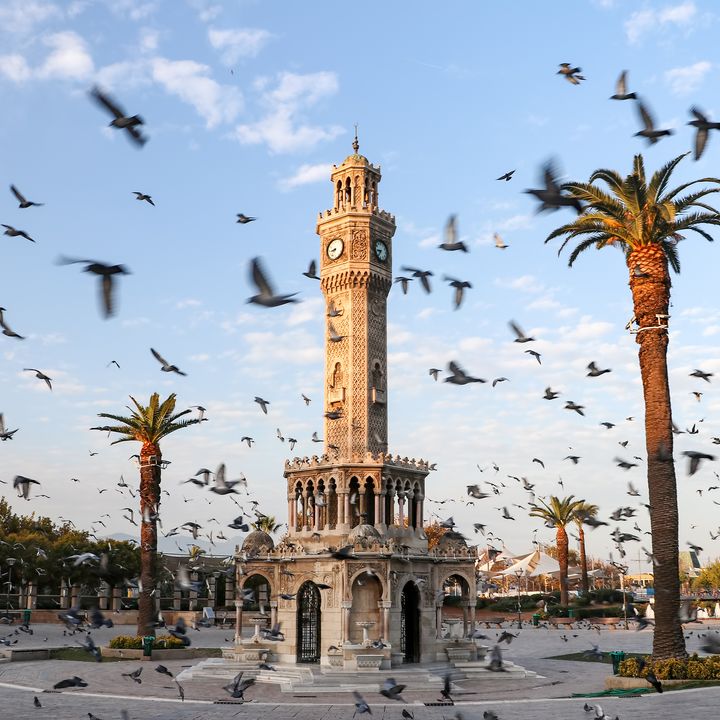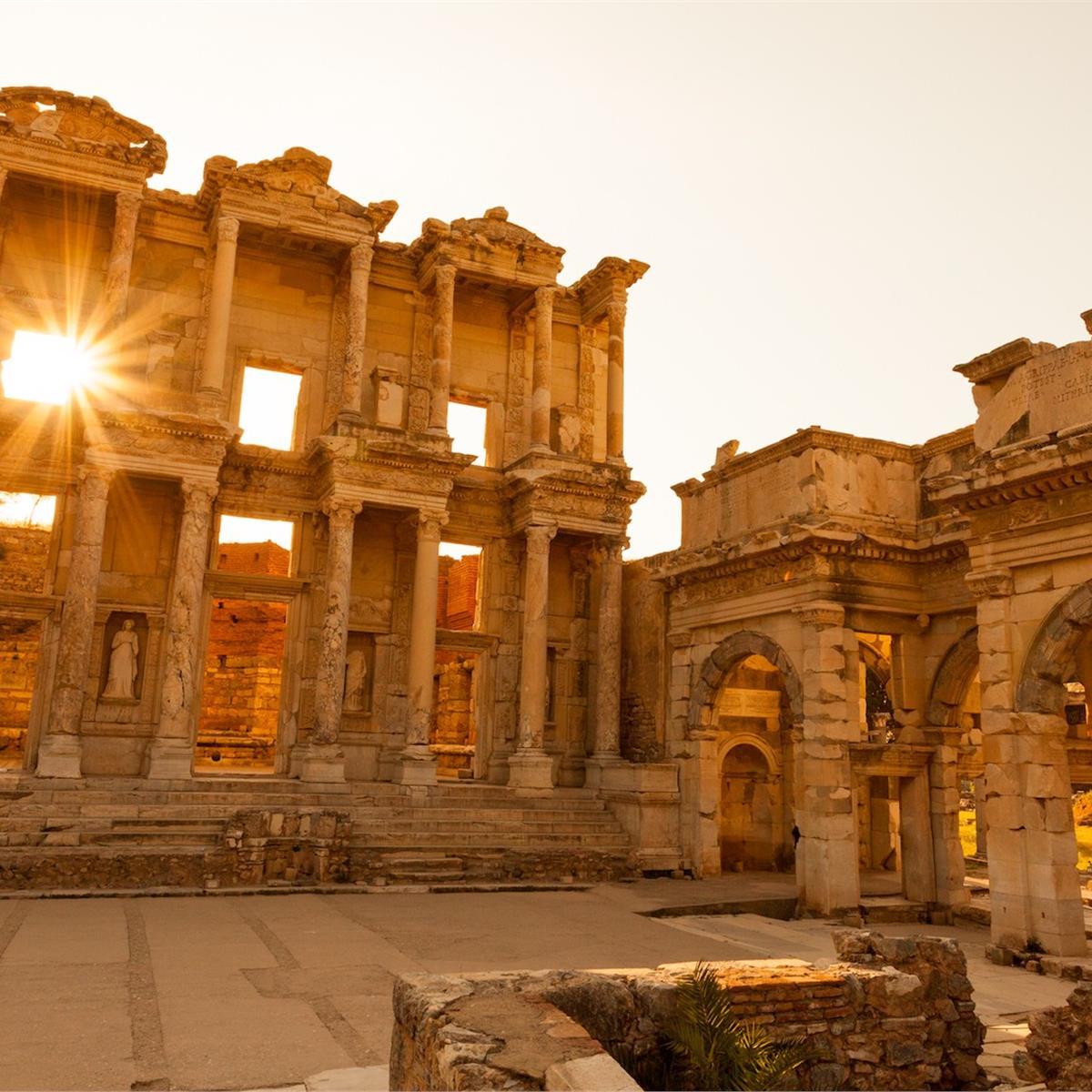

Day Tours


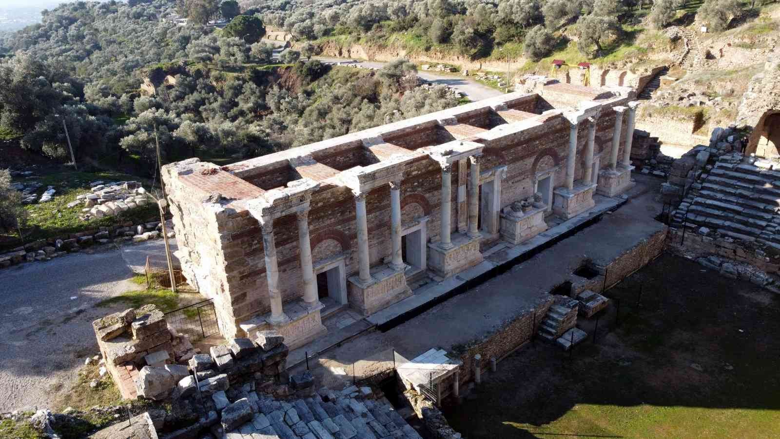
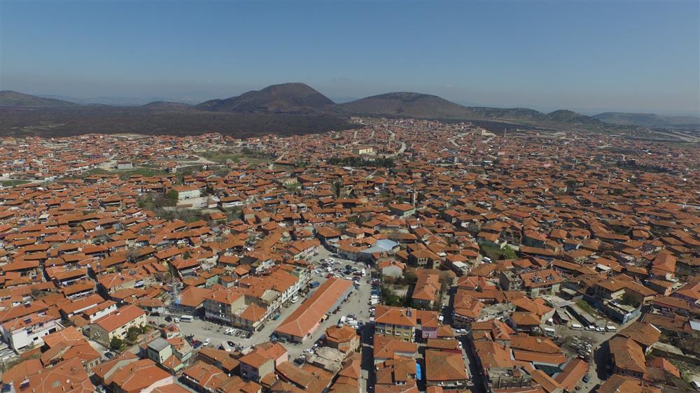
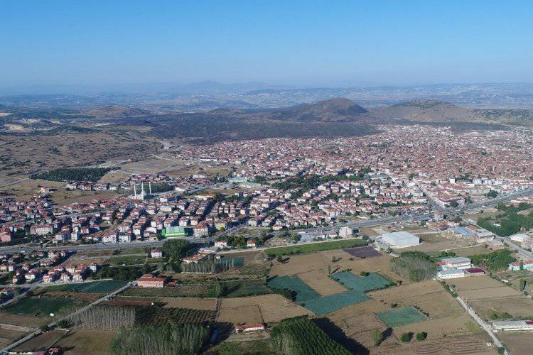
Kula is one of the districts of the Aegean with its architectural, ethnographic, archaeological, historical and visual values. During the excavations carried out in the region, the footprints of primitive people were found in Divlit, near the Iron Bridge dam, within the border of Katekekaumene. In addition, the marble reliefs and inscriptions from 56 BC during the excavations revealed that Kula and its surroundings were an important settlement area.
Maionia, which was established around Kula in ancient times, was a settlement area between Mysien and Lydia, and the road passing here started from Sardes-Salihli and passed over Menye-Sandal-Gölde. The settlement in Kula developed over time as the surrounding settlements lost their importance. It is understood from the documents that Kula got its name from the Tower, which means a zodiac sign.
Accommodation
Transport
Comfort
Food