Transfers
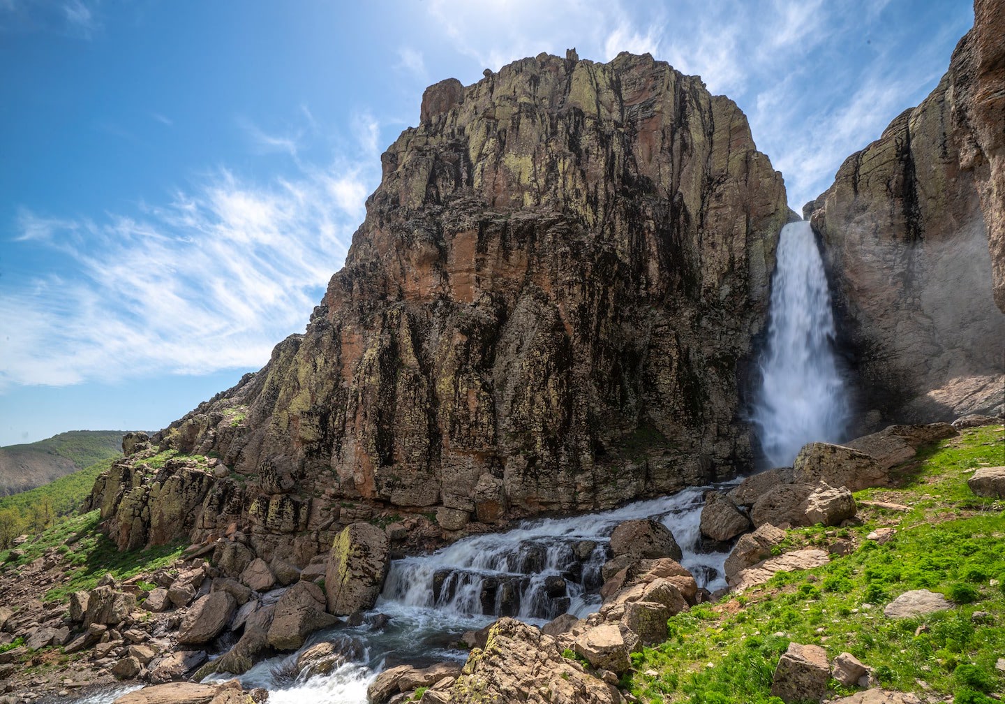
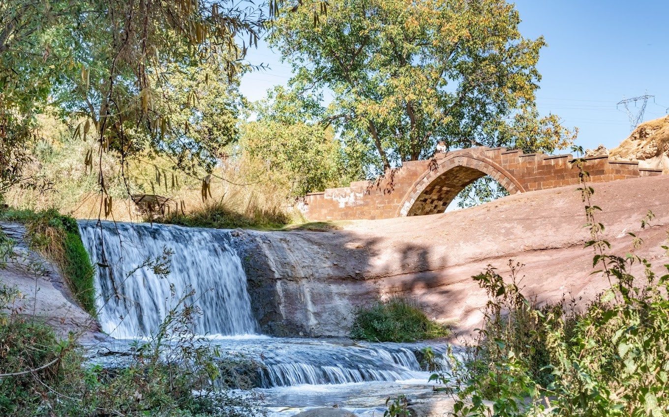
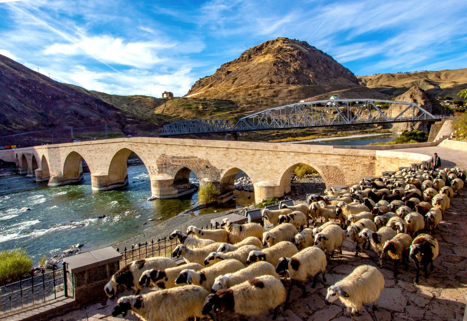
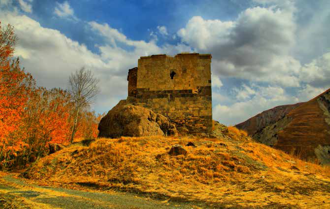
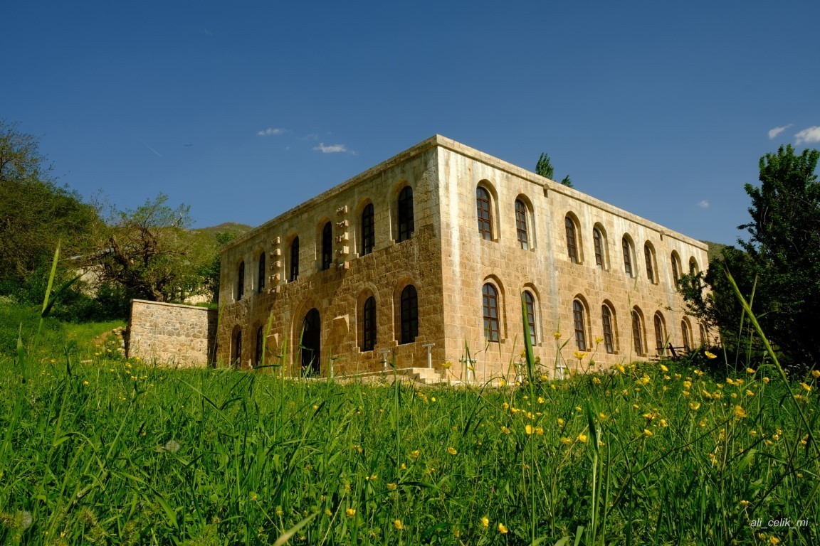
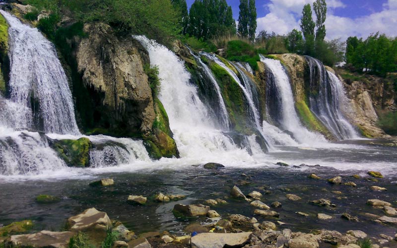
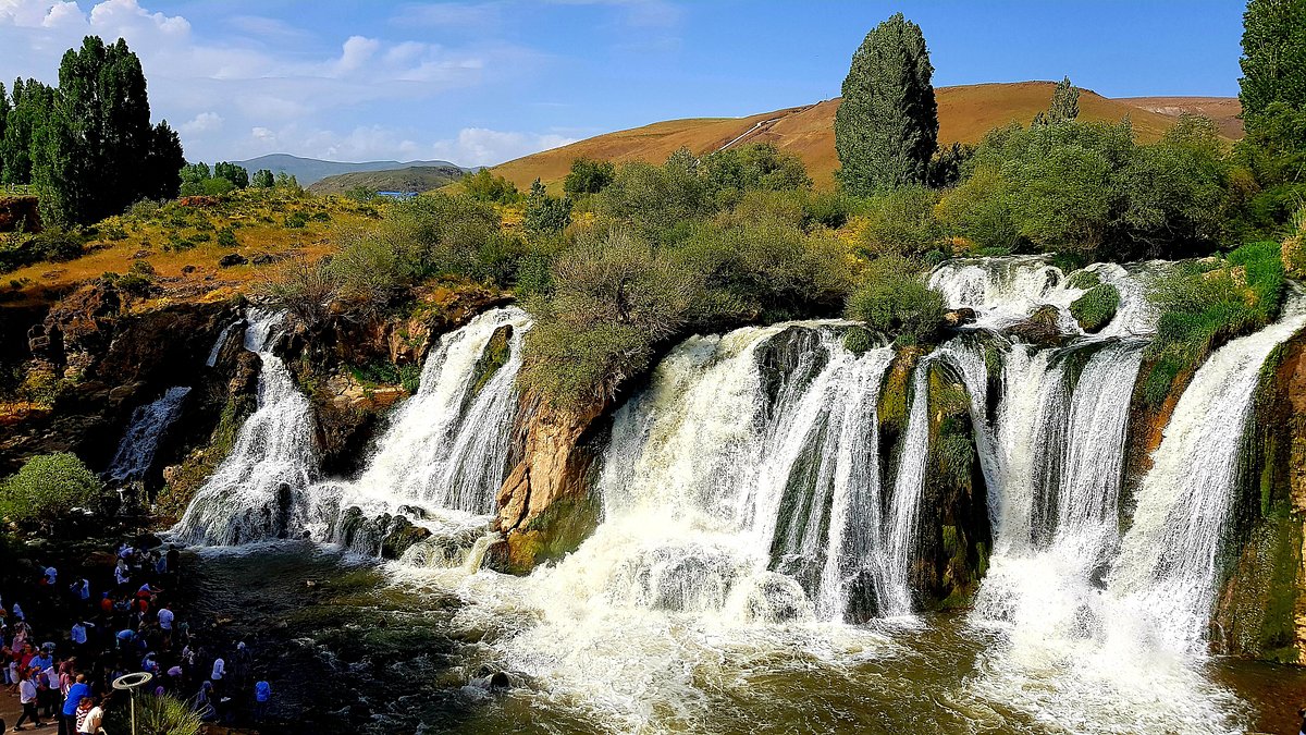
Muradiye
After the 1071 Malazgirt Victory, it is seen that the region was heavily settled by the Seljuk Turks. In 1514, after Yavuz Sultan Selim Khan defeated Safavid Shah Ismail in Çaldıran with a great victory, the region was completely dominated by the Ottoman Turks. With the Kasr-ı Şirin agreement signed with Iran in 1639, the Turkish-Iranian border took its current shape. After 1895, it was exposed to the provocations and attacks of the Armenians in the region, and this situation continued to increase with the 1914 Russian invasion. As the Russians withdrew from the region on April 2, 1918 and the Turkish Army came to the region and ended the Armenian atrocities, the district had the opportunity to live in peace and tranquility again. While Muradiye was known as two settlements with the name of Kandahar and Bargiri until the Republic, it was merged and named Muradiye after the Republic. It has been maintaining its district status since 1914. Van Merkez District and Lake Van are in the south, Özalp District in the southeast, Çaldıran District in the north, Lake Van and Erciş District in the west. Its area is 1,087 km2. Average altitude above sea level is 1700 meters, distance from the city center is 82 km.