Transfers
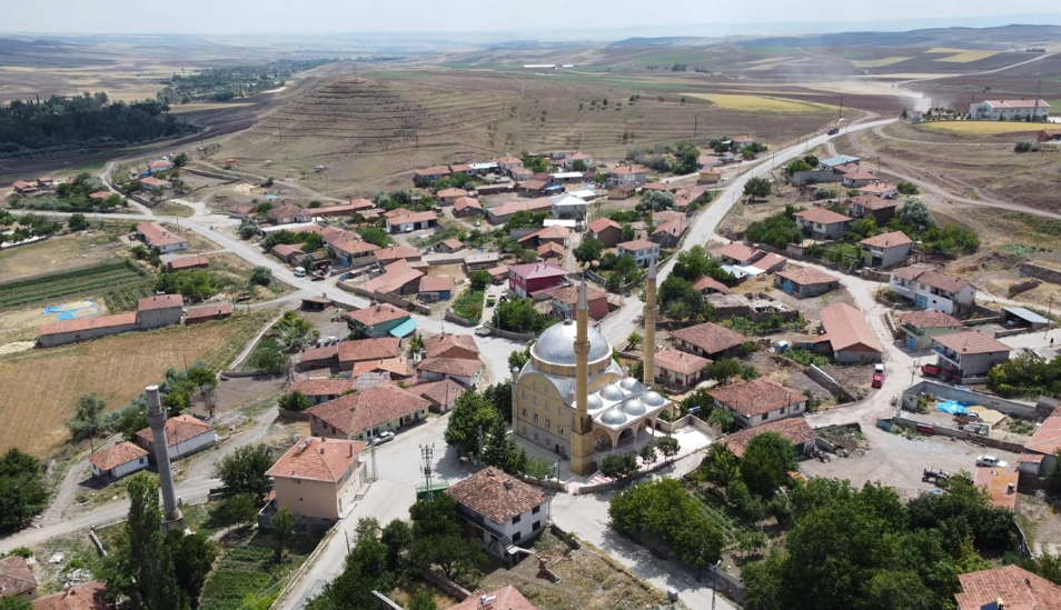
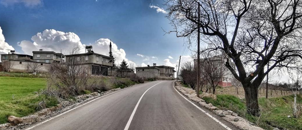
Musabeyli
Musabeyli is the largest district of Kilis province in terms of surface area.
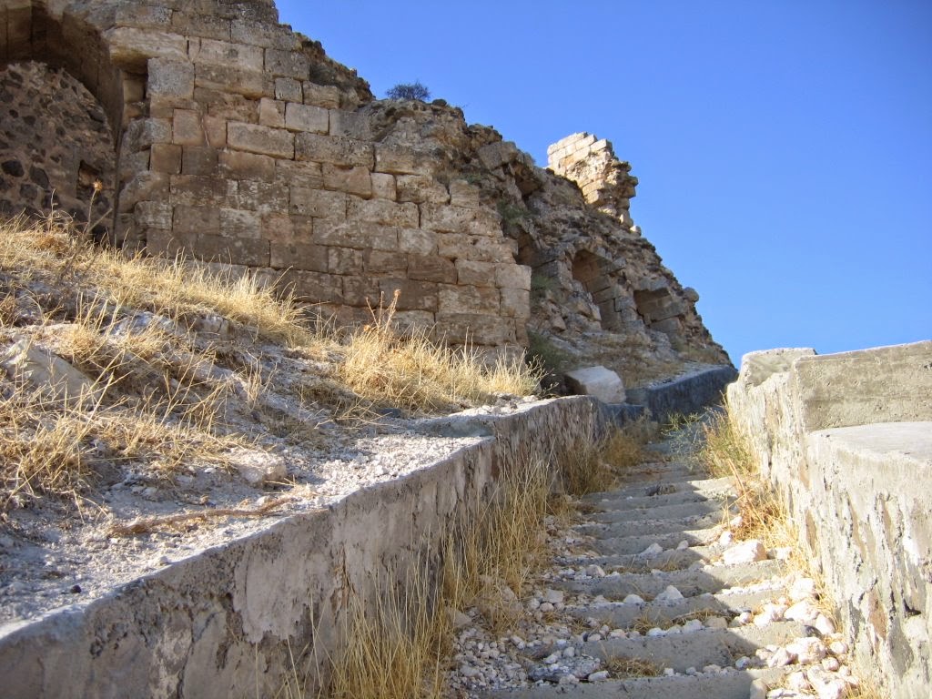
Although the majority of the region is Turkish, there are Arabs, Gypsies and Kurds. There are also families of Armenian origin. Before the Turks settled in Anatolia, the region was known as a large forest area. After this date, it was transformed into a settlement unit under the name of Murathöyügü. However, the exact date of establishment is unknown. As the name suggests, the town center is in the position of a mound. There are historical artifacts during the construction and work excavations made from time to time. These historical ruins are thought to belong to the Hittite period. On April 14, 1997, with the decision numbered 2768, the region was taken under protection in accordance with the Culture and Nature Conservation Law and declared as a second and third degree archaeological site.
Musabeyli, which was affiliated to the Kilis district of Gaziantep for many years, gained the status of a district with the 46 villages connected to it after Kilis became a province with the Decree Law No. 550 in June 1995. As such, it is one of the youngest districts of Turkey and at the same time, it is one of the smallest districts of Turkey in terms of population.