Transfers
Mut
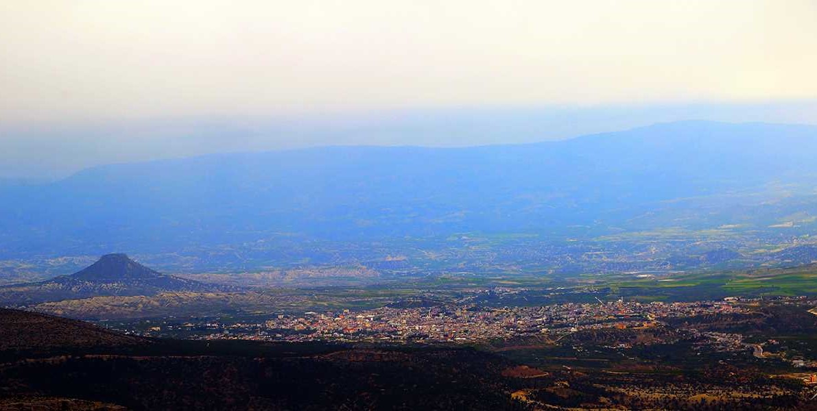
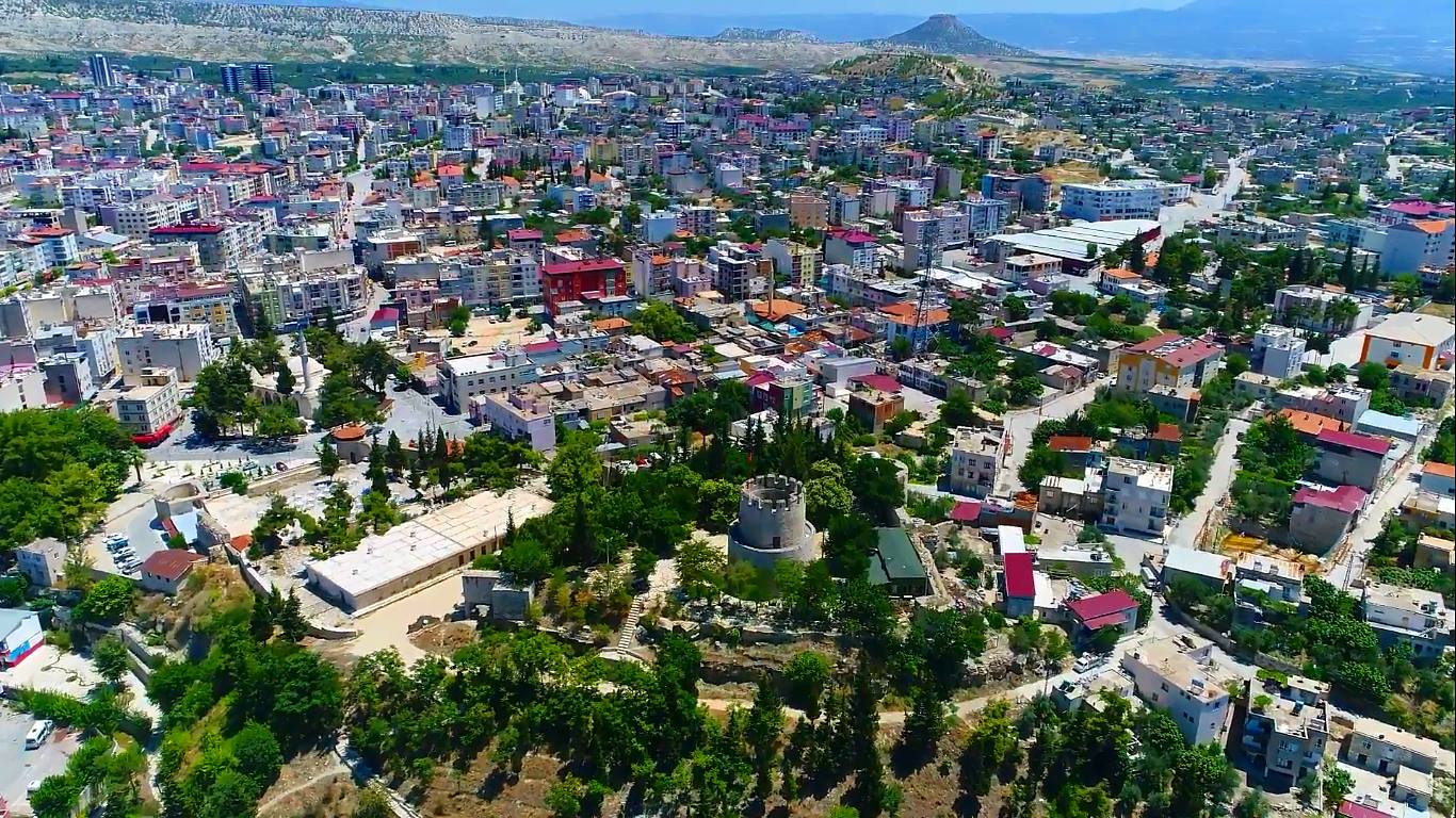
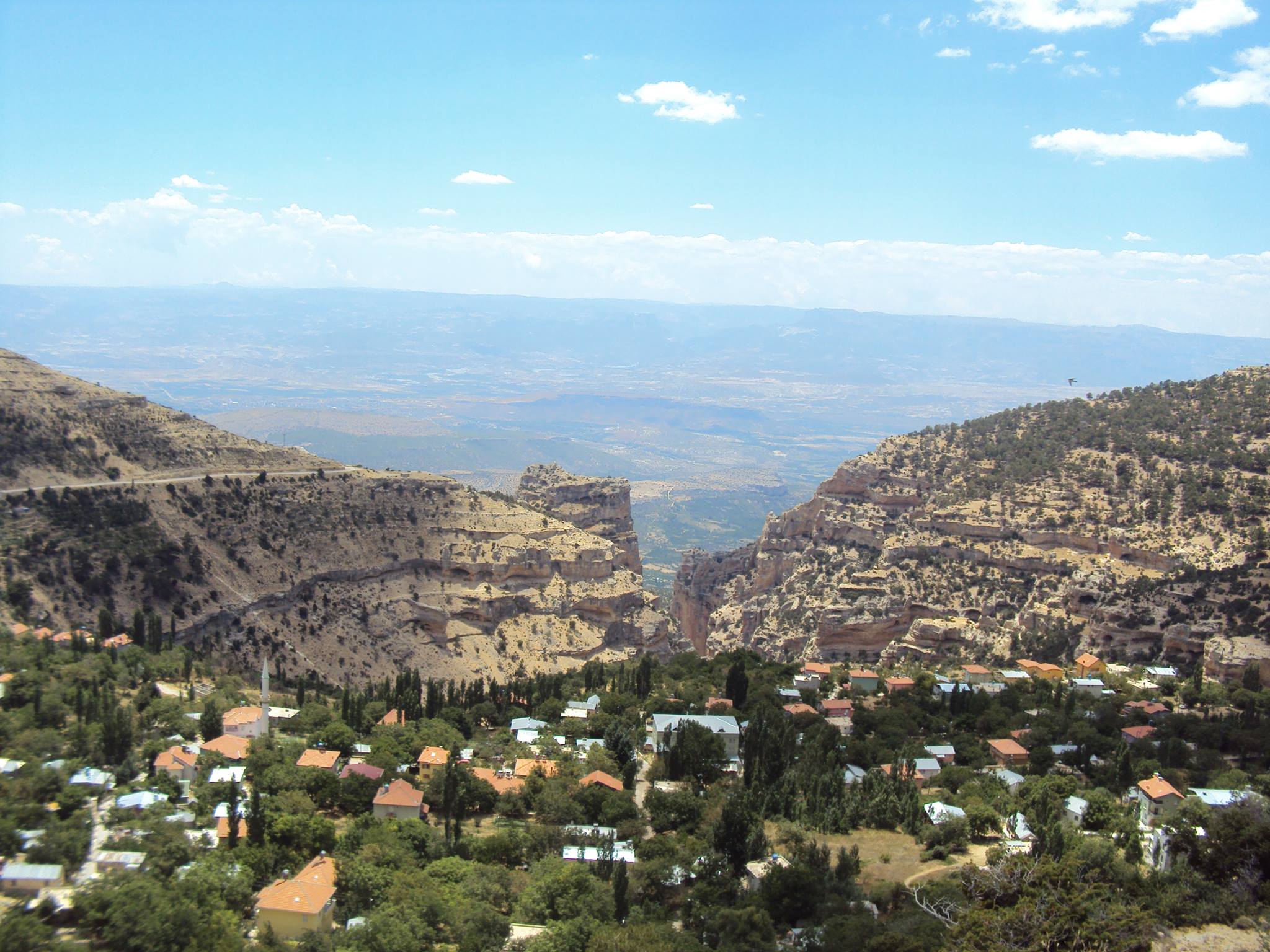
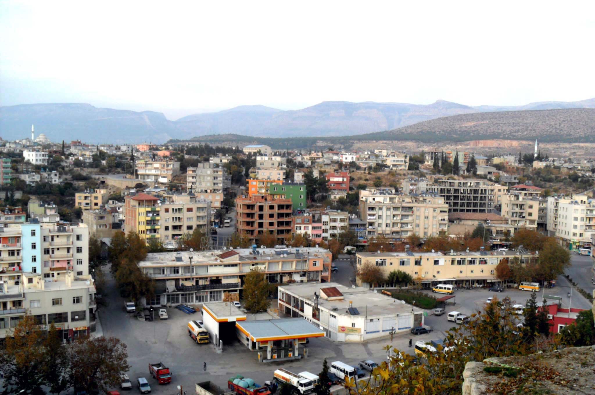
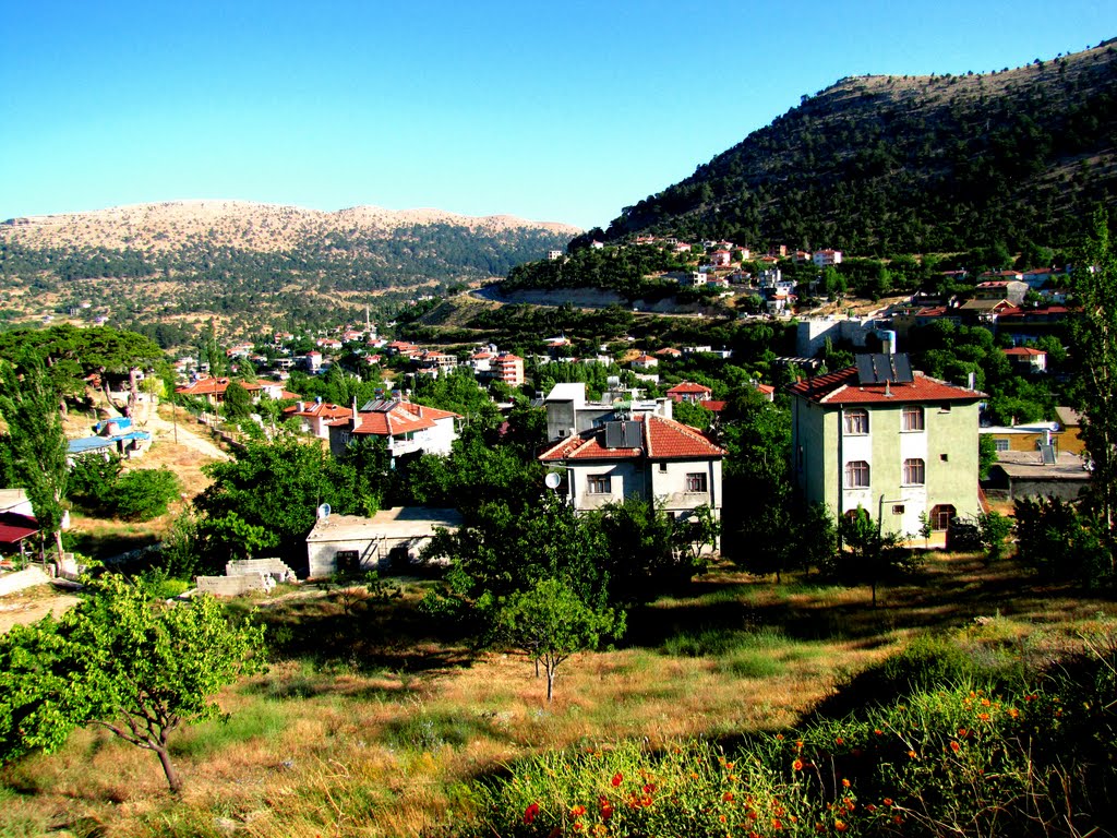
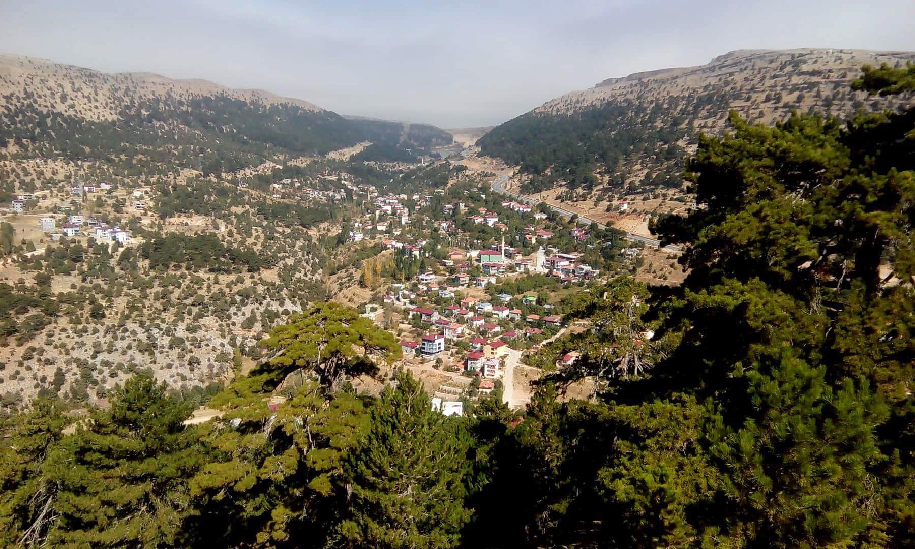
Mut is a district of Mersin Province in the Mediterranean Region. It was founded on the skirts of the Taurus Mountains, on the banks of the Göksu River. It is surrounded by the lands of Silifke in the east, Ermenek in the west, Karaman in the north and Gülnar in the south.
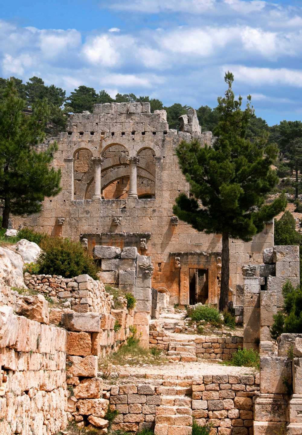
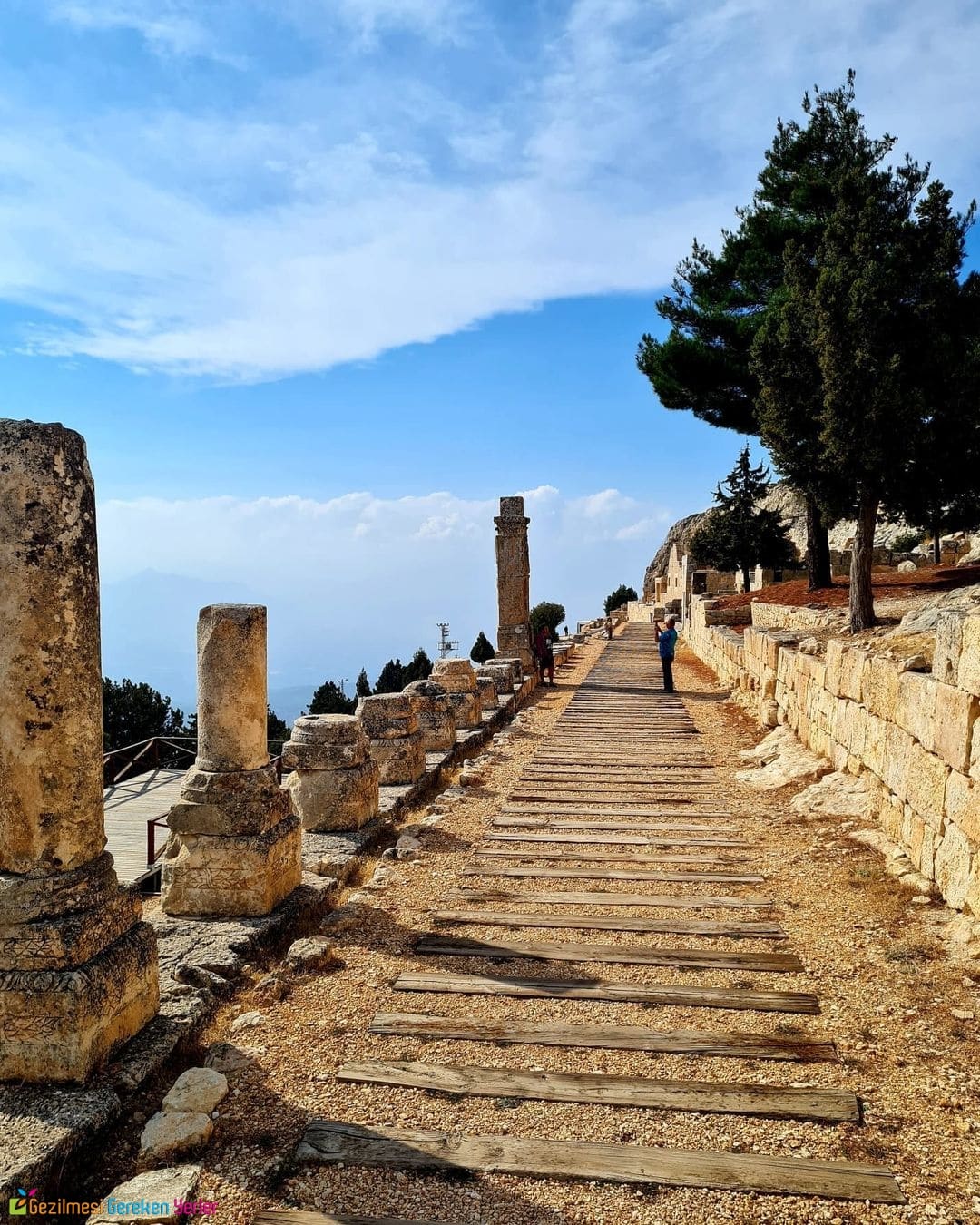
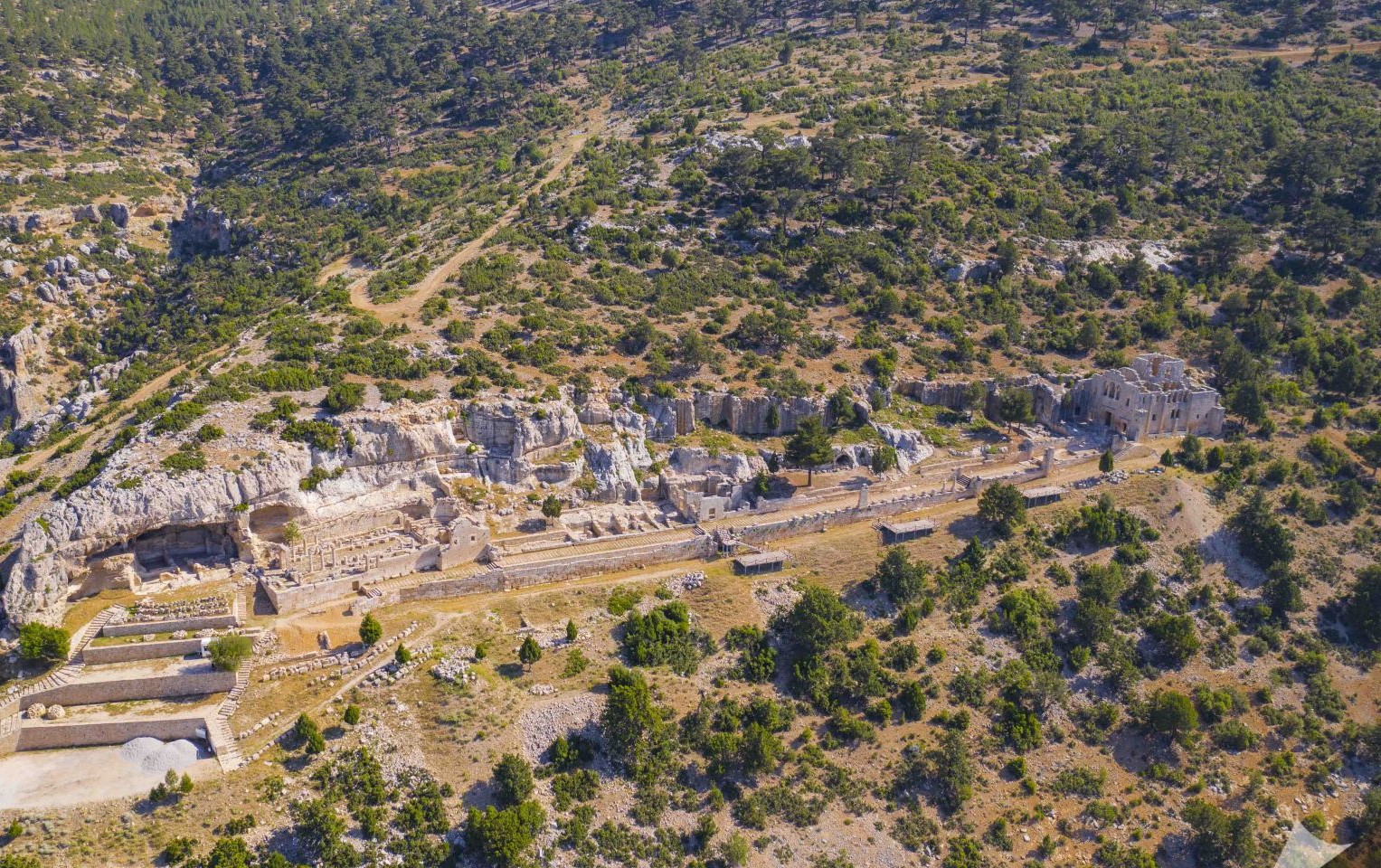
The total area of the district is 2860 km². There are the Kozlar and Sertavul plateaus, Çınaraltı and Karaekşi National Parks, as well as the Alahan Monastery, which has been nominated for the UNESCO World Heritage List.
History
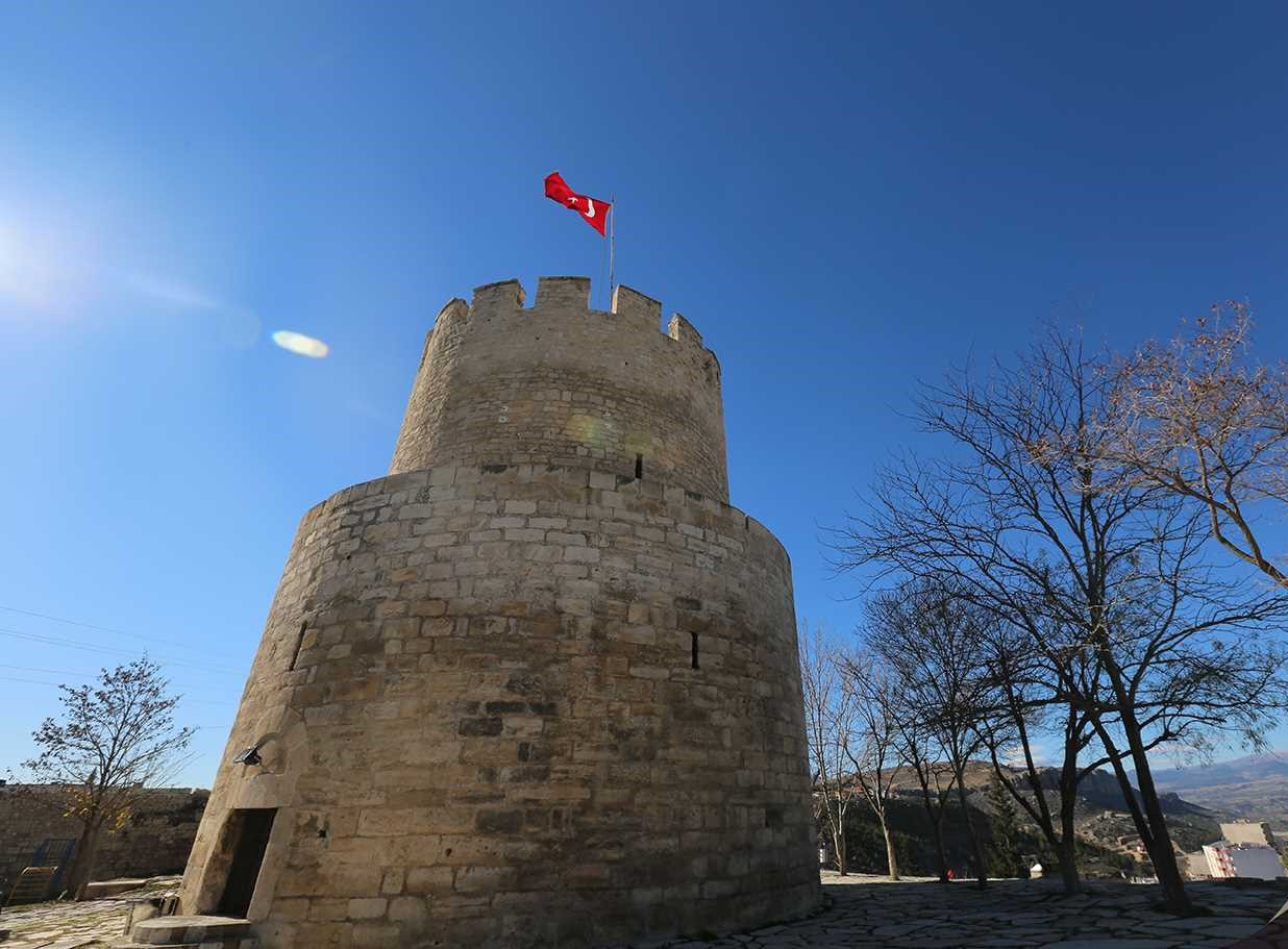
It is estimated that the first settlements started in Mut in 2000 BC. It was established in the mountainous part of Cilicia, which is divided into two parts as Mountainous and Lowland Cilicia, just at the southern mouth of the Sertavul Pass, which has witnessed very important events in history. Its average elevation from the sea is around 250-350 meters. It is said that it was taken over by Venetian and Cilician pirates for a while, and then a long-term domination was ensured by the Roman government. In this period, the name of the city was Claudiopolis. It is known that since 700-800, it has hosted the Turkish Tribes from the Caucasus from the Caspian Region and later the Turkmens who came from Central Asia and Iran. Yörük Nomadic Tribes have come to the Region from Çukurova, Adana, Mersin and the Mediterranean Region in the last 300 years, settled in small numbers and continued to migrate to today's Aegean Region as a majority. However, it is known that the Armenian Principality of Cilicia, which was established in the region in history and continued its dominance to include most of the provinces in the Southeastern Anatolia region, continued its existence until 1375. It is even claimed that the name of the Taurus Mountains comes from the princes named Thoros, who was at the head of this principality. But this is wrong.
Nur-e Sofi Bey, who was the founder of the Karamanoğulları principality during the reign of Seljuk Sultan Alaeddin Keykubad I, expelled the Armenians from the region in 1228 and took Ermenek, Mut, Gülnar and later Silifke under his rule. After the region was taken over by the Karamanoğlu principality, the Karamanids prospered in Mut and its environs. During the reign of Karamanoğlu Mesut Bey, Mut was the capital of the Principality for 5 years. It is known that La'al Pasha Mosque, Kızılminaret and some other structures were built during the Karamanoğulları period.
In the summer of 1483, Kasım Bey came to the Kestel (Dağpazarı) plateau with his three sons and thirty valiant lords. Sheep are slaughtered, roasts, pilafs, halva are cooked, sherbets are crushed. During this feast, Hocantı Son secretly adds the poison to the syrup. Those who drink sherbet, together with Kasım Bey, die thirty-four people. (1483) After Kasım Bey, the people of Karaman had some struggles, but they did not have the feature of becoming a state. After 1502, with the migration of the Karaman people to the east (Iran), the land of Karaman completely passed into the hands of the Ottomans. Between the years 1500-1555, the town of Mut was composed of Mut, Silifke and Sarıkavak townships, but it shrank with the separation of Silifke in 1555.
Culture and Art
Even though the population is shrinking, a national festival has been held in the district for many years, which provides great opportunities for the promotion of the region throughout the country. Apricot (aka Karacaoğlan) Festival is important in terms of promoting the agricultural, social and artistic features of the district throughout the country and abroad and improving its wealth.
In the 1970s and 80s, unlike today, although there were few literary activities in the district, there were 3 cinemas, 1 closed and 2 open air. However, there is no cinema currently operating. In addition, two major local newspapers have been operating for about 35 years.
Carpet weaving, folklore and folk music are among the main artistic activities in the district. In addition to these, Göksu Plum and Yörük Festival, Güme Neighborhood Plateau Festivals, Dere Fig Festival, Koleksiyonca Neighborhood Festivals have started to make a name for themselves in recent years.
Turkey's largest flag is in the district. 180X120 meters in size, 21.600 m², that is, 21.6 decares.