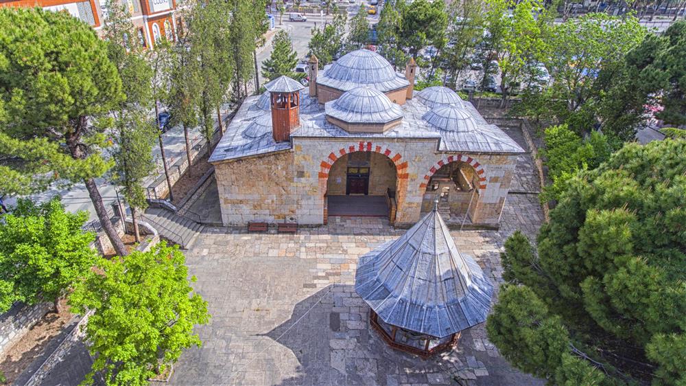


Oğuzlar
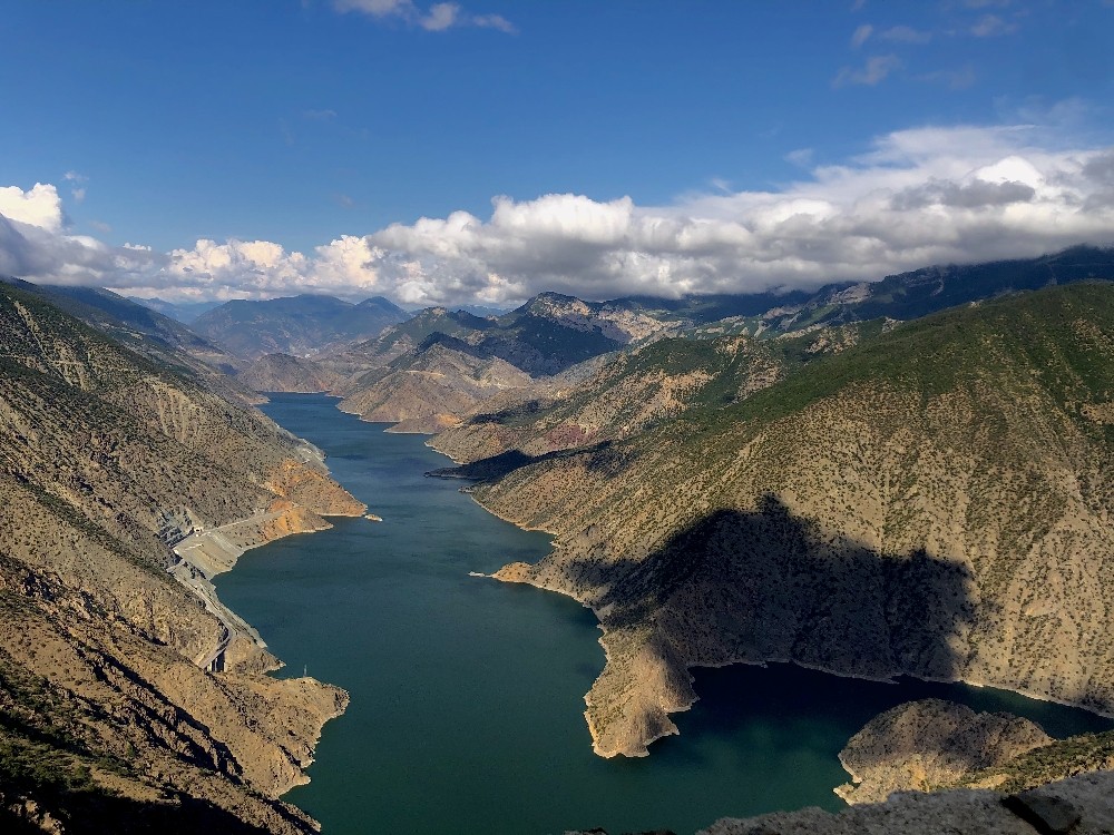
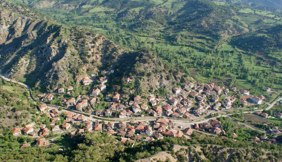
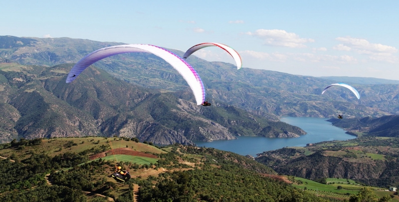
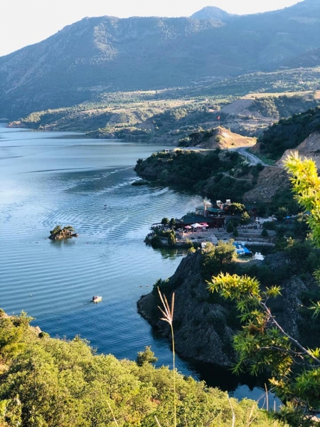
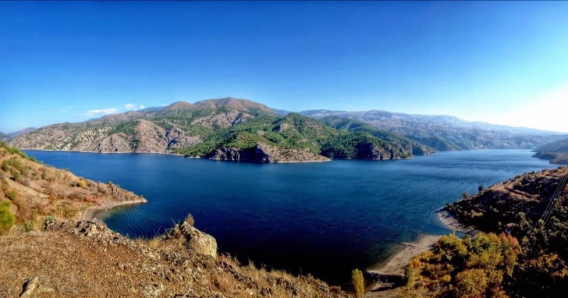
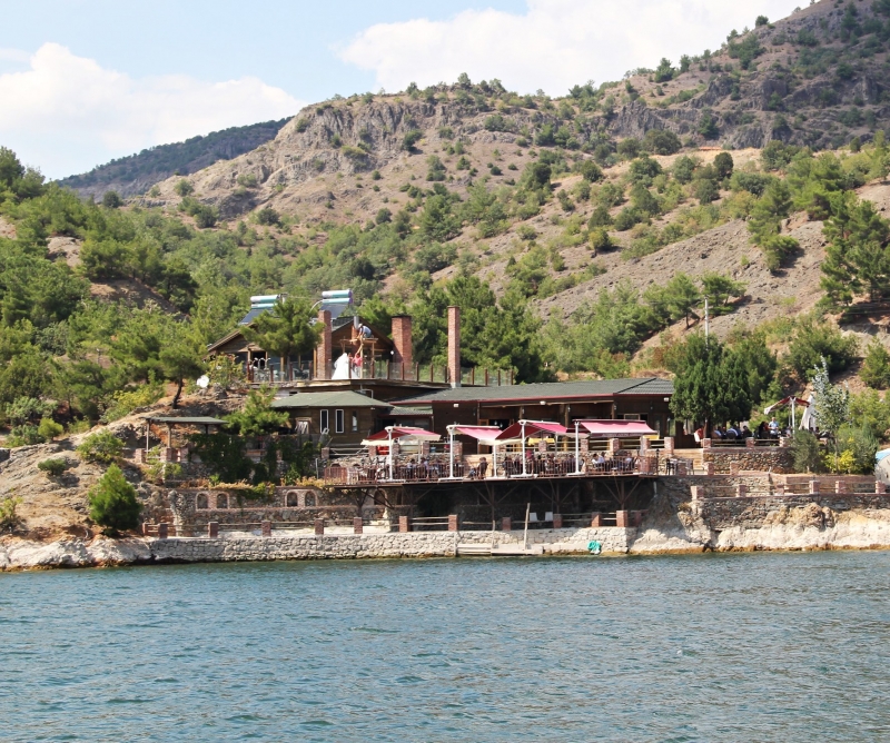
The Oğuzlar, with its historical name Karabörk Divanı, was a village called Karaviran in Iskilip, but in 1964 its name was changed to Karaören and became a parish. On May 9, 1990, it became a district of Çorum under the name of Oğuzlar. 54 km from Çorum city center, the population of the district center is 2876, 1388 of this center population is male and 1488 is female population. District Town/Village Total population is 2376. The Kızılırmak river forms its border with Laçin. Although the people of Oğuzlar district earn their living from walnut, rice cultivation, grain varieties, small-scale animal husbandry, beekeeping, etc., they have started to have a say in various professions with the opening of the young population due to unemployment. Mastery areas have shown themselves in different branches such as cookery, waiter, construction and soil industry. Oğuzlar district has a rough terrain and the altitude is 650 meters. Kızılırmak passing through the borders of the district was giving life to the district until the dam construction works started, so there has been a rapid migration out of the district in recent years.