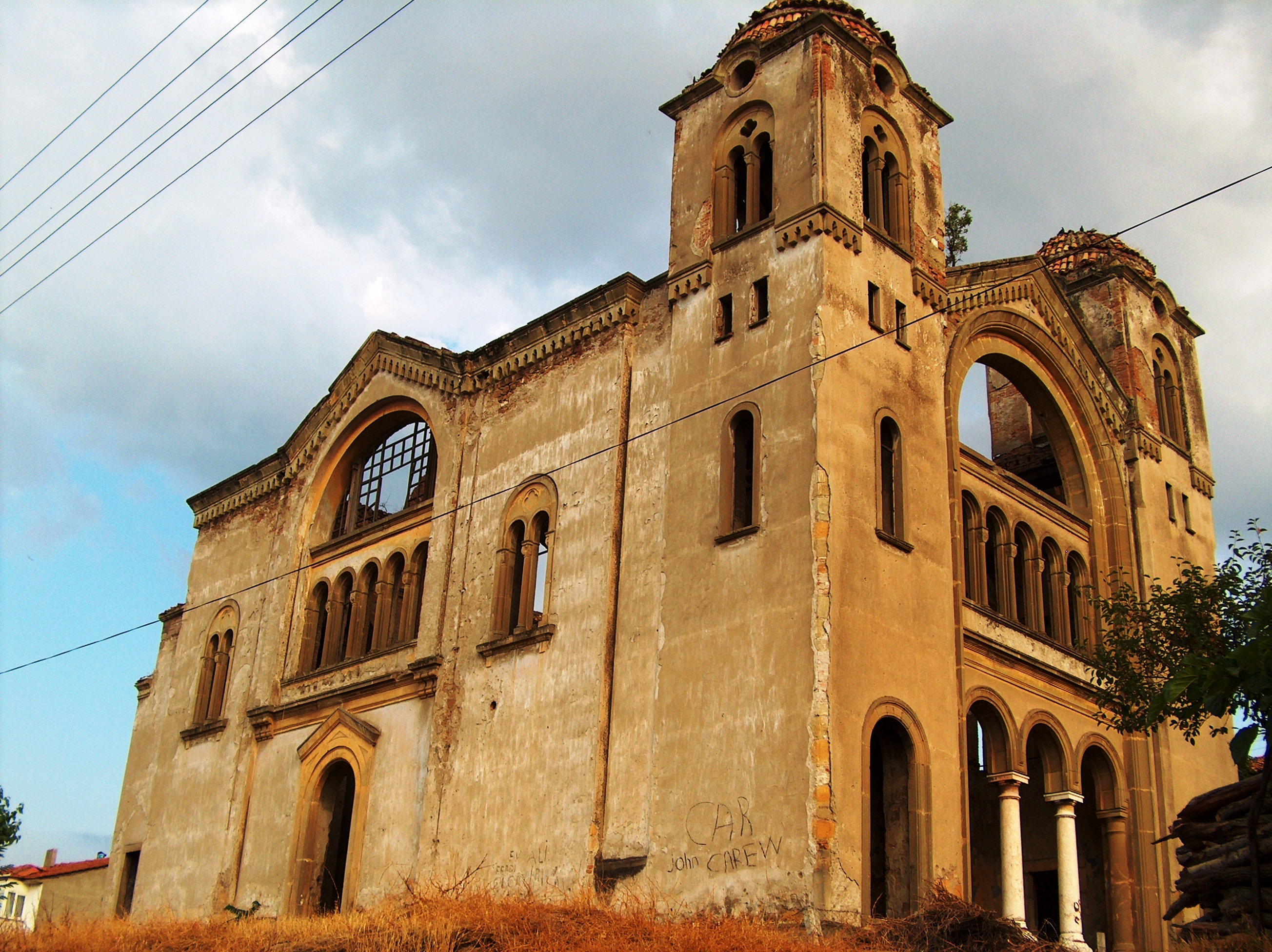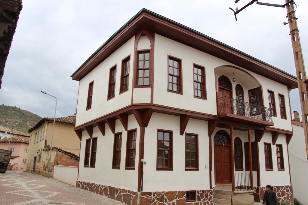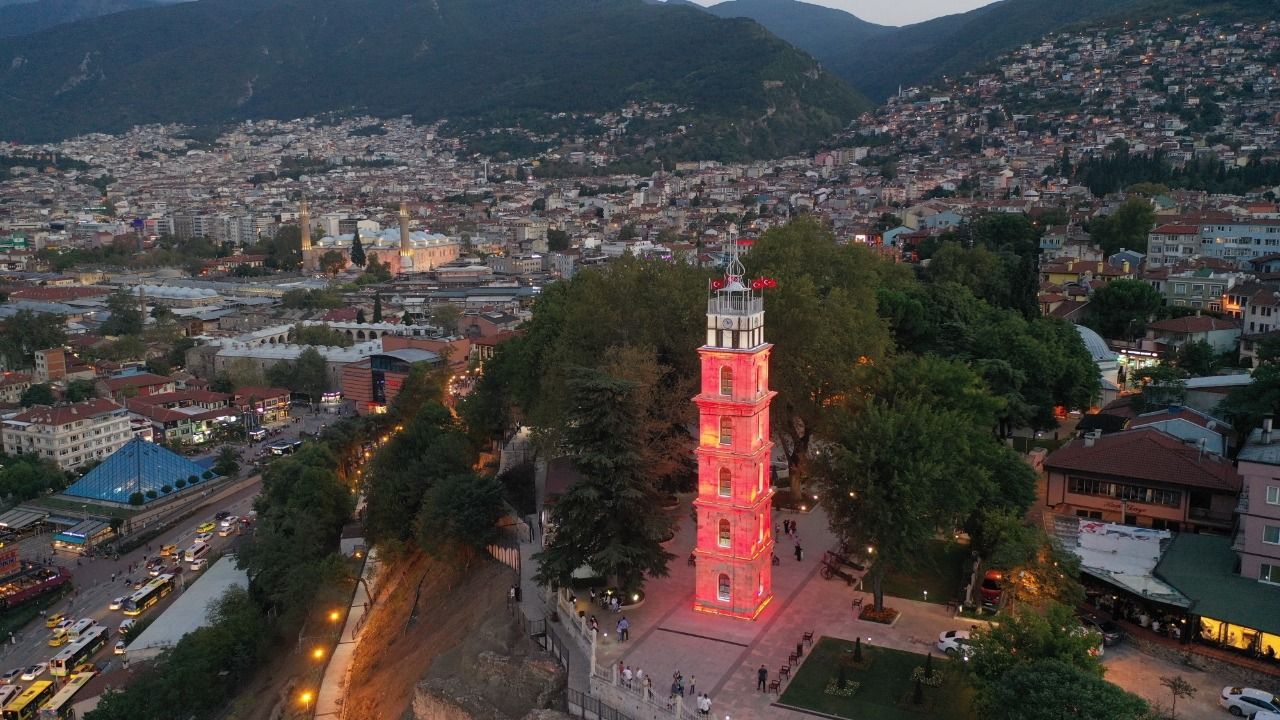

Orhangazi
Orhangazi is located in the south of the sea of Marmara and west of the lake Iznik.
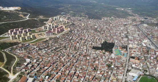
Orhangazi was established on a very fertile plain on the shore of lake Iznik. It is surrounded by Yalova and Karamürsel districts in the north, Gemlik in the west, Yenişehir in the south, and İznik in the east. It is in the shape of a bowl surrounded by the Samanlı Mountains in the north and the Katırlı Mountains in the south. Its old name is Pazarköy.
It is 45 km from Bursa city center. It is 125 meters above sea level. Orhangazi is an important junction point on the Bursa-Istanbul Road. According to 2011 population data, the population of the district center is 56,703 and the total population of the district is 75,354. In addition, Orhangazi became one of the central districts of Bursa with the new metropolitan law.