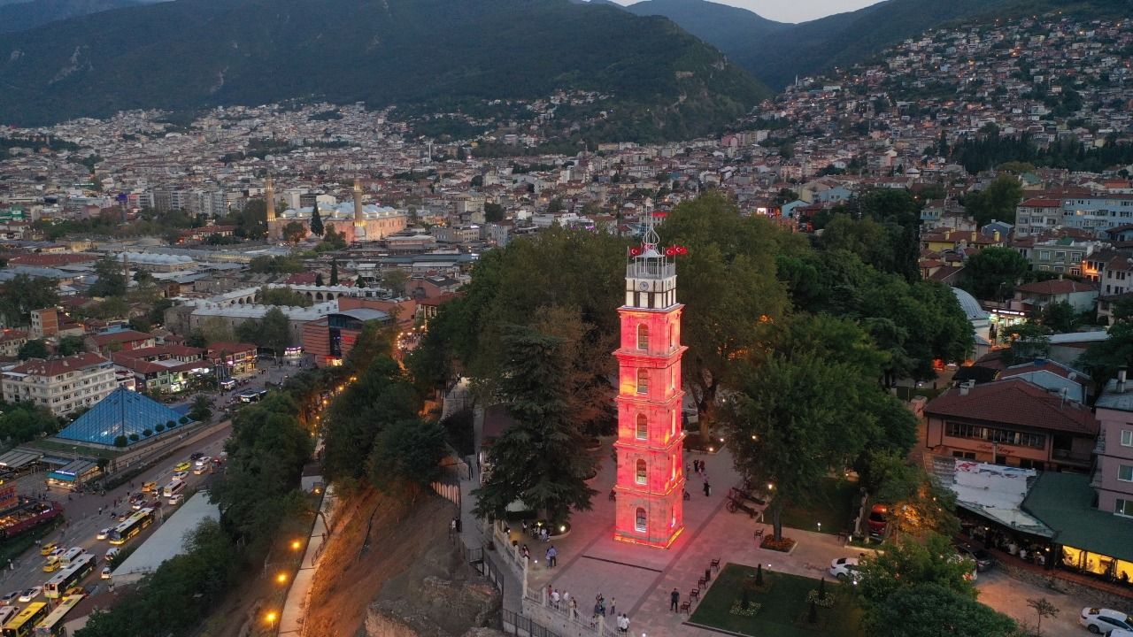

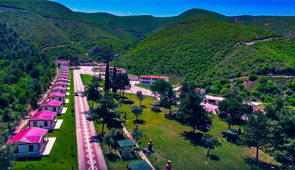

Osmaneli
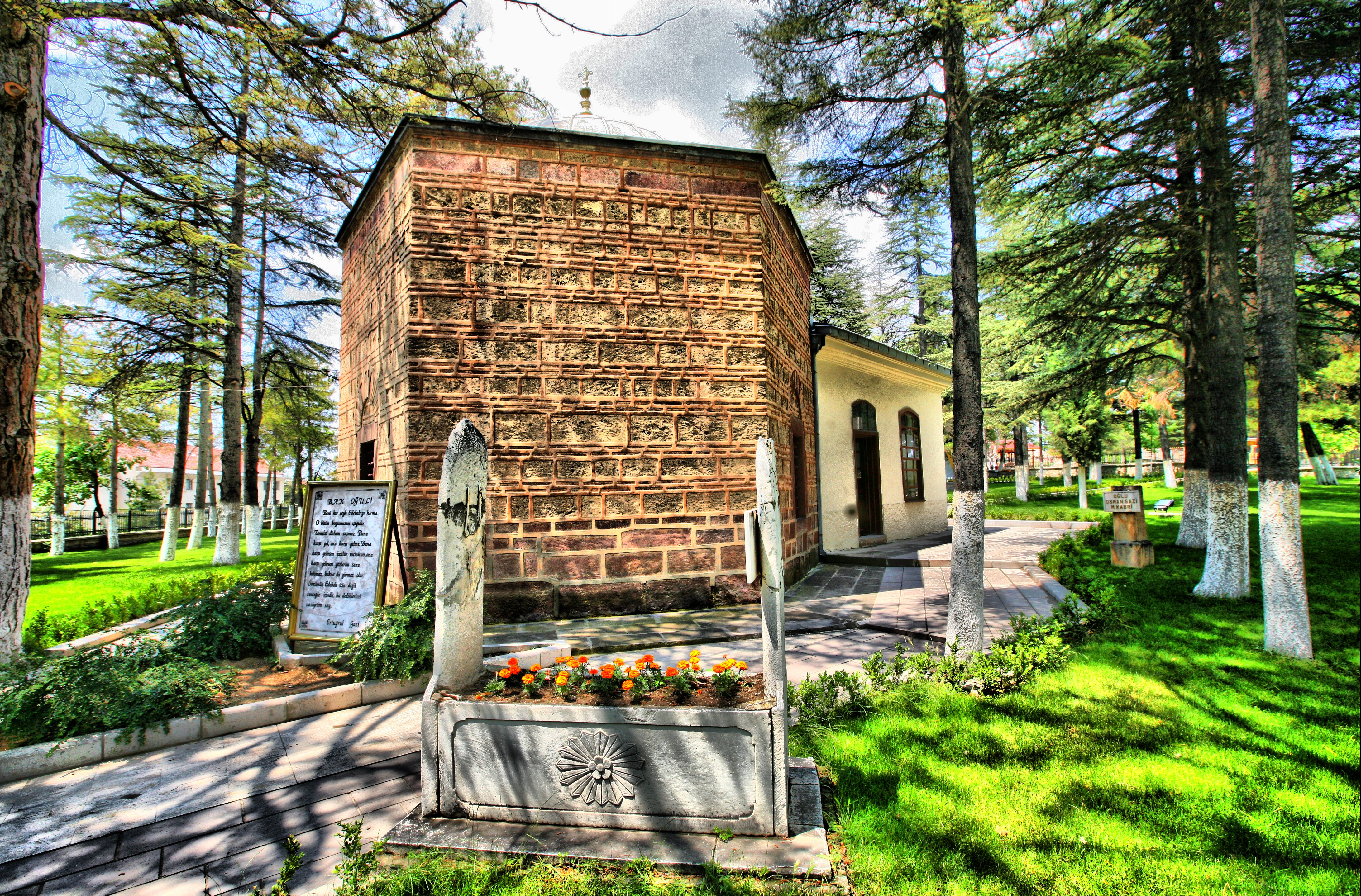
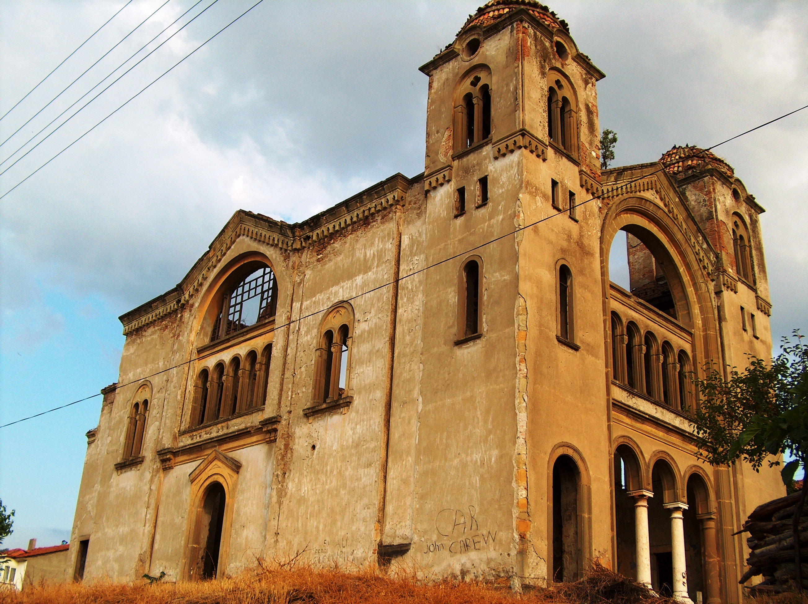
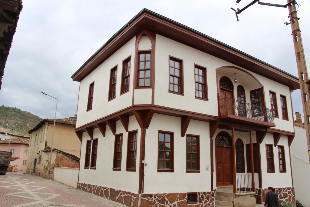
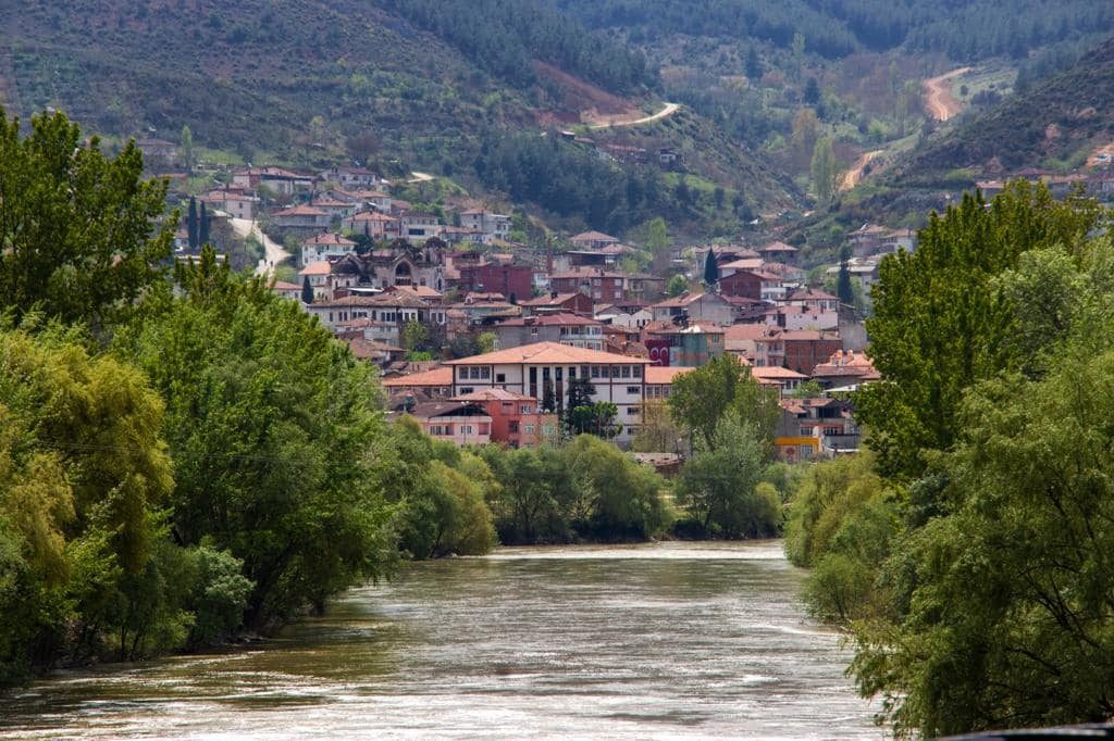
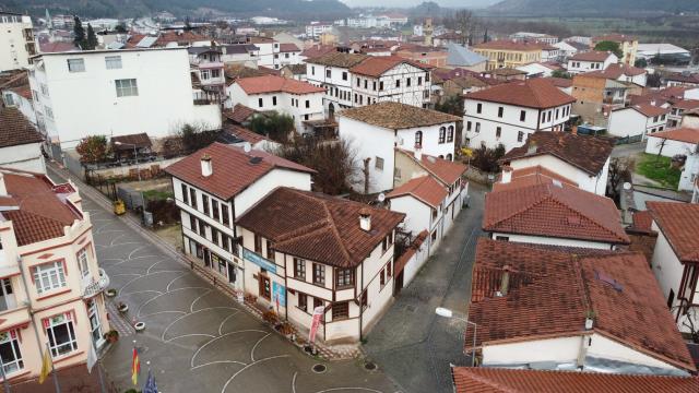
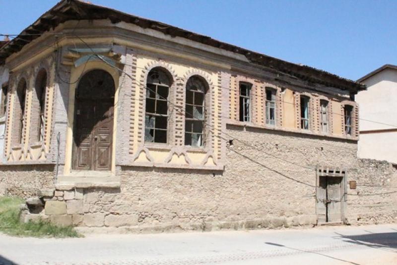
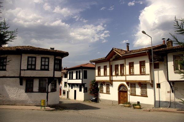
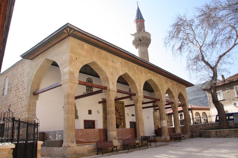
Osmaneli is a district of Bilecik province in Southern Marmara. It is surrounded by Pamukova of Sakarya in the north, Geyve of Sakarya in the northeast, Gölpazarı in the southeast, Merkez district in the south, Yenişehir of Bursa in the west, and İznik of Bursa in the northwest. It is at 30 degrees east longitude, 40 degrees 3 minutes north latitude, 200 km from Istanbul, 107 km from Bursa, 70 km from Adapazarı and 120 km from Eskişehir. Osmaneli, whose history dates back to the remains of a Thracian tomb dating from 1000 BC, is an Anatolian district that was annexed to the Ottoman lands in 1308. The area of Osmaneli is 526 square kilometers and the population of the district center is 14.521. As Evliya Çelebi mentioned in his travel book, many agricultural products, especially quince, watermelon and olives, are famous. The first known name of Osmaneli was inspired by the Göksu (Gallos) Stream, which flows close to it in the language of the Luwis, one of the first settled peoples of Anatolia, and it was called Mela or Gallos in the first age. For this reason, its first known name is Melewana (the city of the Mela people). During the Hellenization era, the name of the city changed to Melagina. In later periods, it was called Lefke. Lefke is named after the old Hellenic word Leuikai "White Kavaklık". It was conquered in 1308 and joined the Ottoman lands. It was renamed Osmaneli in 1913. It became a district of Bilecik on April 30, 1926. Osmaneli is one of the districts where the Istanbul-Hicaz railway passes. Until the population exchange in 1926, Greeks lived in the region. The most permanent example of Greek culture that has survived to this day is the ruins of the Aya Yorgi Church. Again, until the 1970s, silk production was carried out by Greek families on the basis of management.