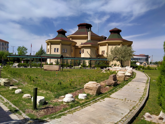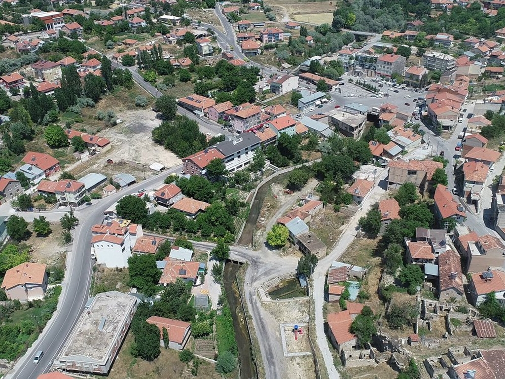
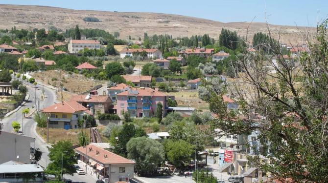
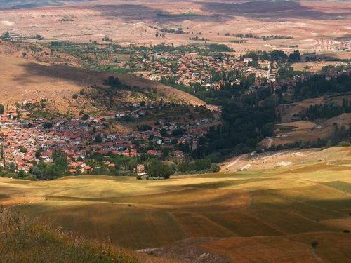

Özvatan
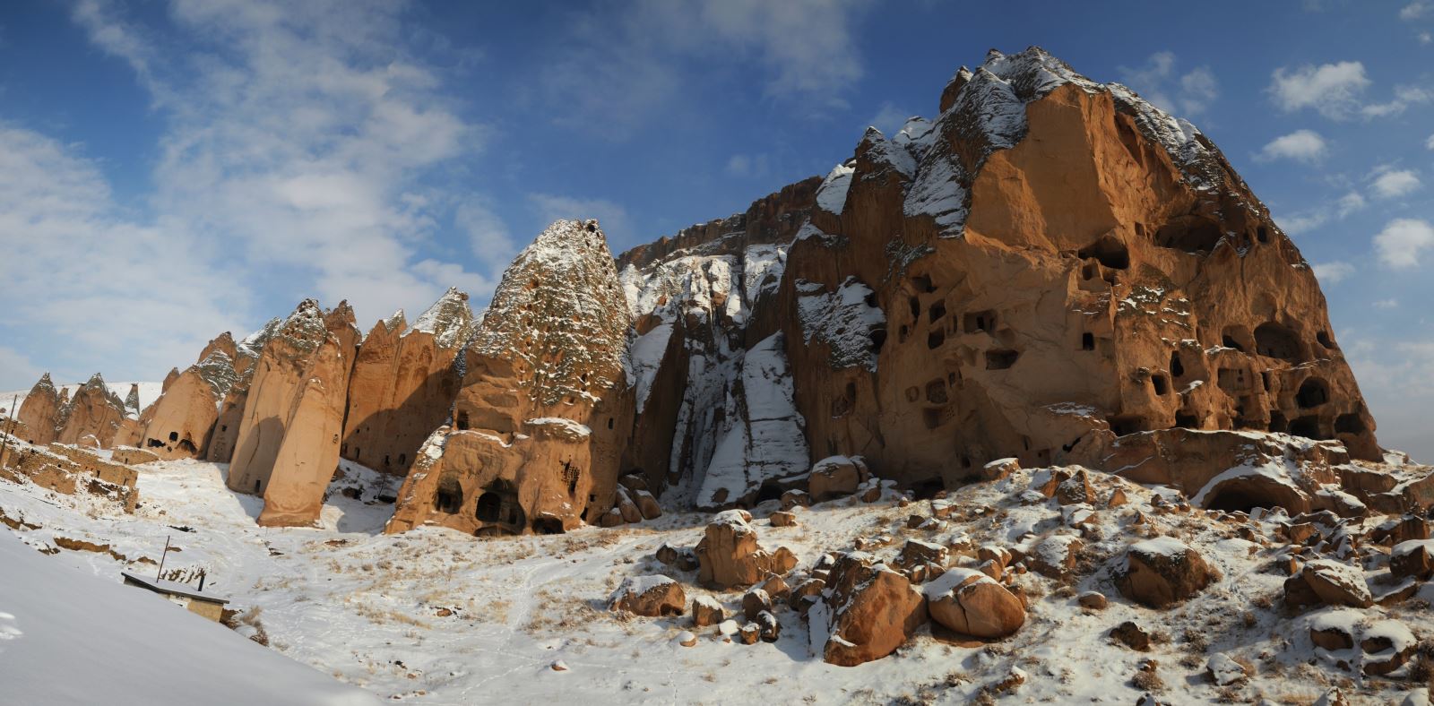
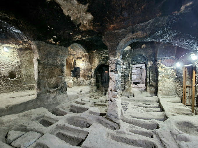
The oldest ruins in the district are the Harsa and Zırha Castles, which are located on the edge of the Kızılırmak and are thought to belong to the Hittites. It is known that mining and trade were engaged in the region during the Hittites period. Around 430 BC, Zırha Castle was added to Roman territory, so it is possible to find traces of Roman Civilization in the region. In the research carried out by Kayseri Cultural Researchers in 1967, Turkish names were found on the tombstones between 300 and 600 AD. At the beginning of the 1800s, the region was mapped under the name Kaleköy, depending on the Bozok Sanjak. Around 1890-1900, it was located in the center of Muncusun, under the name of Çukur, or Güneşli, as it is now known. After the proclamation of the Republic, some of the exchanges from Thessaloniki were settled in this region. In 1956, the municipality organization was established in Çukur sub-district. 1990 Çukur sub-district of Kayseri's Felahiye district was changed to Özvatan and became a district. The name Özvatan was formed by merging the names of 8th President Turgut Özal himself and his party Anavatan. Özvatan District is located 75 kilometers northeast of Kayseri centre. It is surrounded by Sarıoğlan in the east, Felahiye in the west, Bünyan and Kocasinan in the south, and Yozgat in the north. Its area is 221 square kilometers and its altitude is 1340 meters. The geographical structure of the district is rugged and it is surrounded by mountains. In the district, continental climate characteristics are felt in accordance with the climatic conditions of the Central Anatolia Region. Summers are dry and hot, winters are cold and snowy. Average annual precipitation is around 600 millimeters. The main vegetation is steppe along with the rest of the region. Grasslands cover the largest area in the district compared to the whole land, and forests and heaths cover the lowest area. The district is rich in water resources. These resources are used as irrigation water due to the calcareous and clayey soil structure. The Kızılırmak constitutes a part of the administrative boundaries of the district with other settlements. In addition, Öz Stream passes through the district. The highest mountain in the district is Akdağ, which is 2233 meters high, which is one of the folds of the Central Taurus Mountains.