
Transfers
Patnos
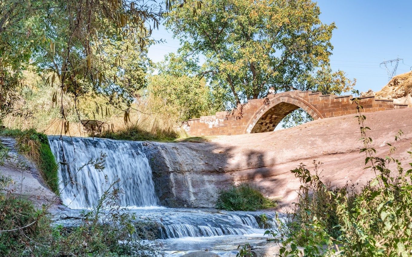
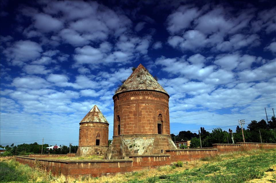
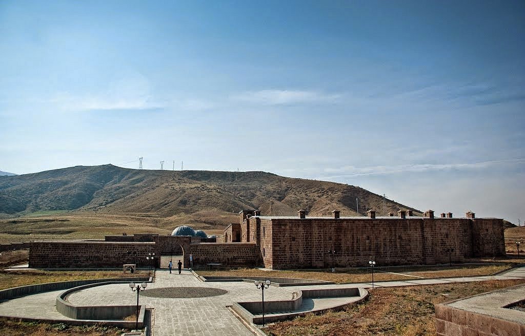
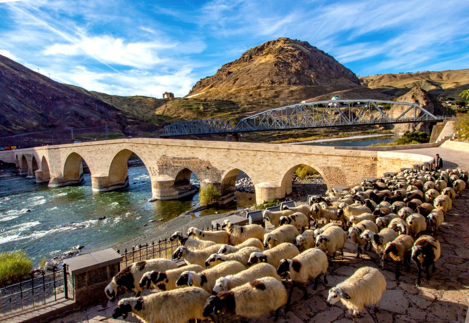
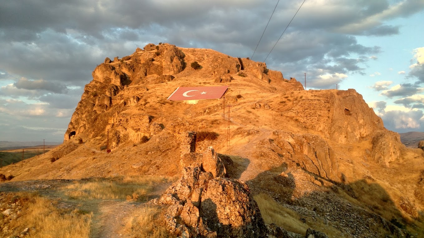
Patnos is a district of Ağrı province. The distance from Ağrı province parent is 82 km. It has been the reason for the rapid sequences formed at the junction of Ağrı-Van, Ağrı-Muş, Ağrı-Bitlis roads. It is the largest district of Ağrı in terms of population density. Its name in the Urartian period was Aladri. Badişan Stream, which is a branch of Murat River, passes through the district center. The district was established at the eastern end of the Patnos plain, which is 20 km wide and 20 km long. There are elevations, one of which is a volcano and the other two are mountain ranges. There is Mount Süphan, an extinct volcano, in the south and is 4058 meters high. The other two mountain ranges are Aladağlar in the east and Top mountains in the west. Anzavur Tepe in the district is one of the important protected areas (Urartu), but it is closed to visitors (Military Zone). It is possible to go from the district to four surrounding cities (Van-Ağrı-Bitlis-Muş) in an average of 1 hour and 20 minutes.