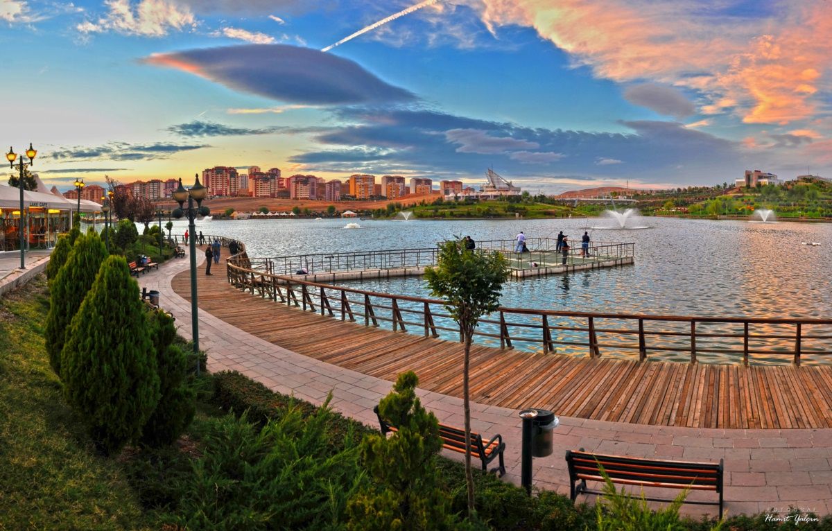

Pınarbaşı
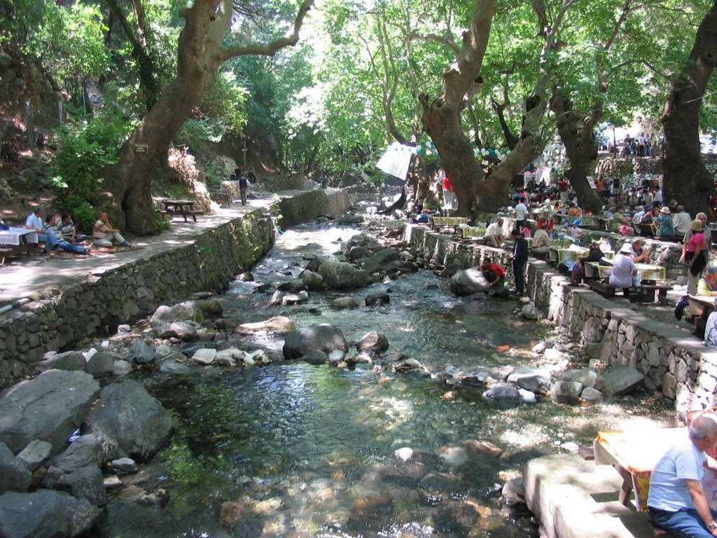
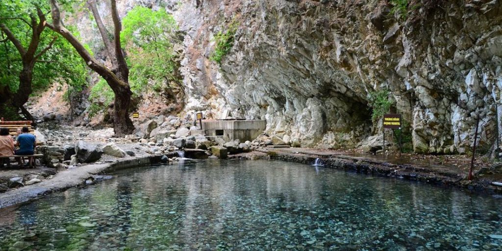
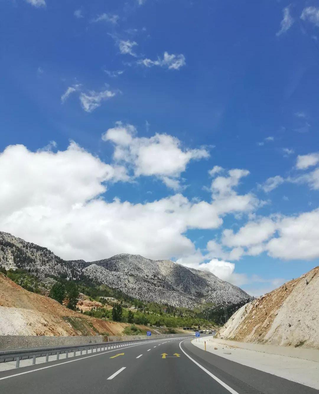
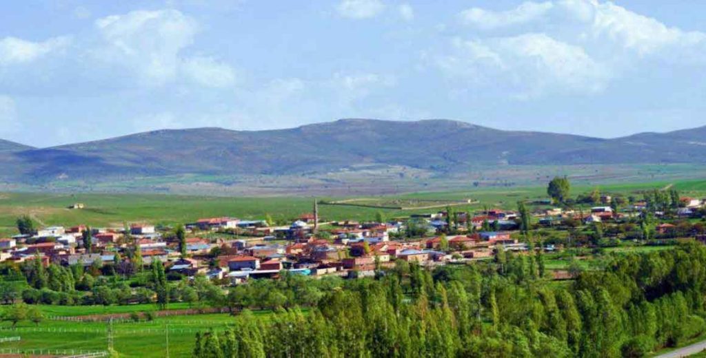
It is located on the Malatya and Kahramanmaraş highway to the east of the city center. There are Akkışla and Bünyan districts of Kayseri in the west, Tomarza and Sarız districts in the south, Gemerek, Şarkışla, Altınyayla and Kangal districts of Sivas in the north, and Gürün districts in the east. Founded by Sultan Abdulaziz, the town was known as Aziziye before the Republic. The district, which was previously attached to the Sivas sanjak, joined the provincial administration of Kayseri in 1927. It reached its present borders when Sariz became a district in 1946, and Tomarza became a district in 1956 and some of its villages were connected to Tomarza. Hınzir Mountains and Tahtalı Mountains rise to the east. Between these mountain ranges are the Uzunyayla and Zamantı Basins. Zamantı and Uzunyayla basins are separated by the Toruntepe threshold south of Pınarbaşı district center. The most important stream of the district is Zamantı River and its tributaries. There are Pınarbaşı, Şerefiye, Karagöz and Küçük Gürlegen springs in the district. Pınarbaşı consists of 115 villages and 28 hamlets. There are 3 municipal organizations, namely the Central, Pazarören and Kaynar Municipalities, and 146 settlements.