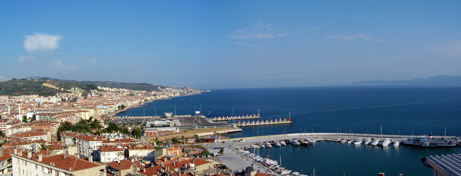
Saray
Saray is a district of Tekirdag. It is surrounded by Vize from the north, Çatalca from the east, Çerkezköy from the south and Çorlu from the west.
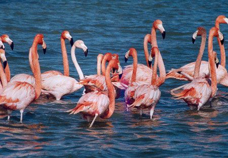
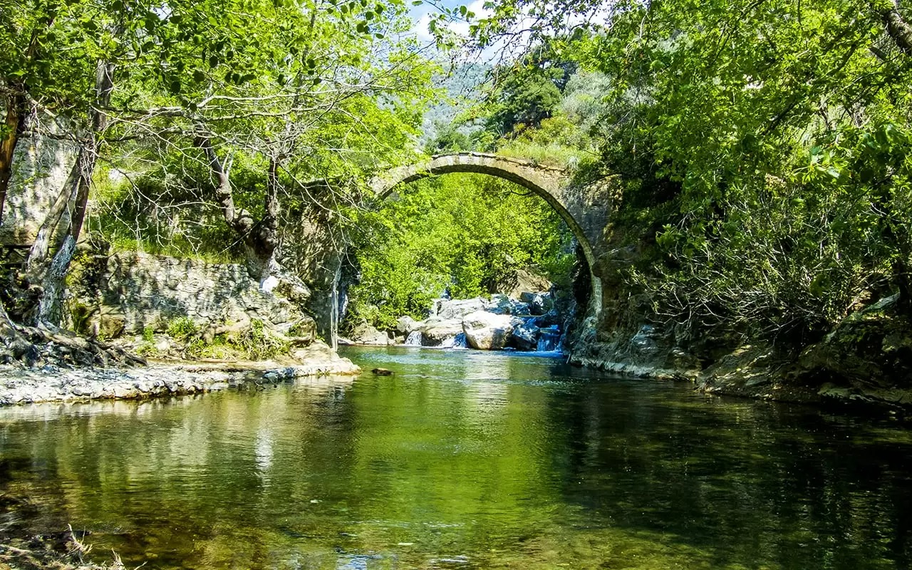
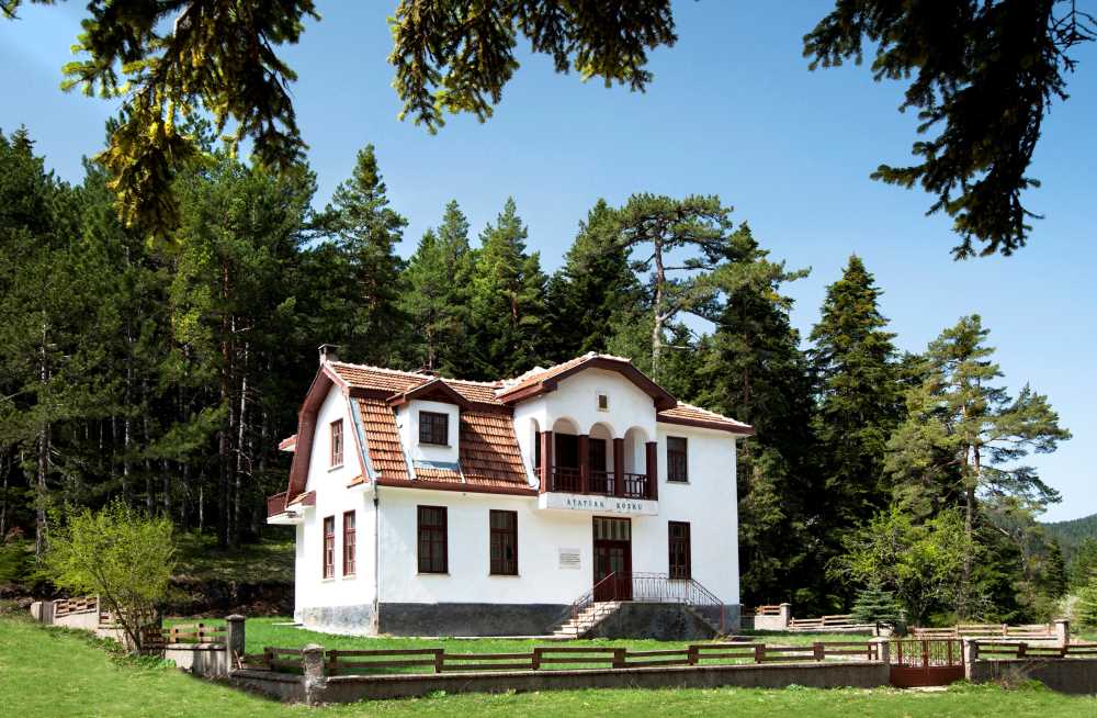
The city center population of the district is 21,243. The total population of the district, including the villages and towns, is 24,396. The total population of the district city center and villages is 45,639. Its area is 612 km² and its distance from the city center is 82 km. The elevation of the district is 140 meters. Most of the district's lands, which were established on a flat area, are located in the Ergene Basin. The land stretches up towards the Yıldız Mountains in the northeast. The highest point of the district is Karatepe, located on the Yıldız Mountains. The Ergene River originates from the Karatepe Güneşkaya location in the Saray district. The other two streams are Vize water and Galata Stream. While the Vize water mixes with the Ergene river outside the district, the Galata stream passes through the east of the Saray district and reaches the Ergene river in the Çerkezköy district. While 314,895 decares of the lands owned by the district are used agricultural areas, forest and heath areas are 255,665 decares. The only larch forest in Thrace is found in Saray Kastro region. For this reason, 329 hectares of larch forest in the Kastro region was defined as a nature conservation area (National Park) on April 18, 1988. Yıldız Mountains are forested. These forests are dominated by broad-leaved trees, oak and larch. Bahçeköy is one of the important forest enterprises of the region. The continental climate is dominant in the district. Winter months are cold and rainy. Summers are hot and dry. The annual precipitation average is 678.2 mm.