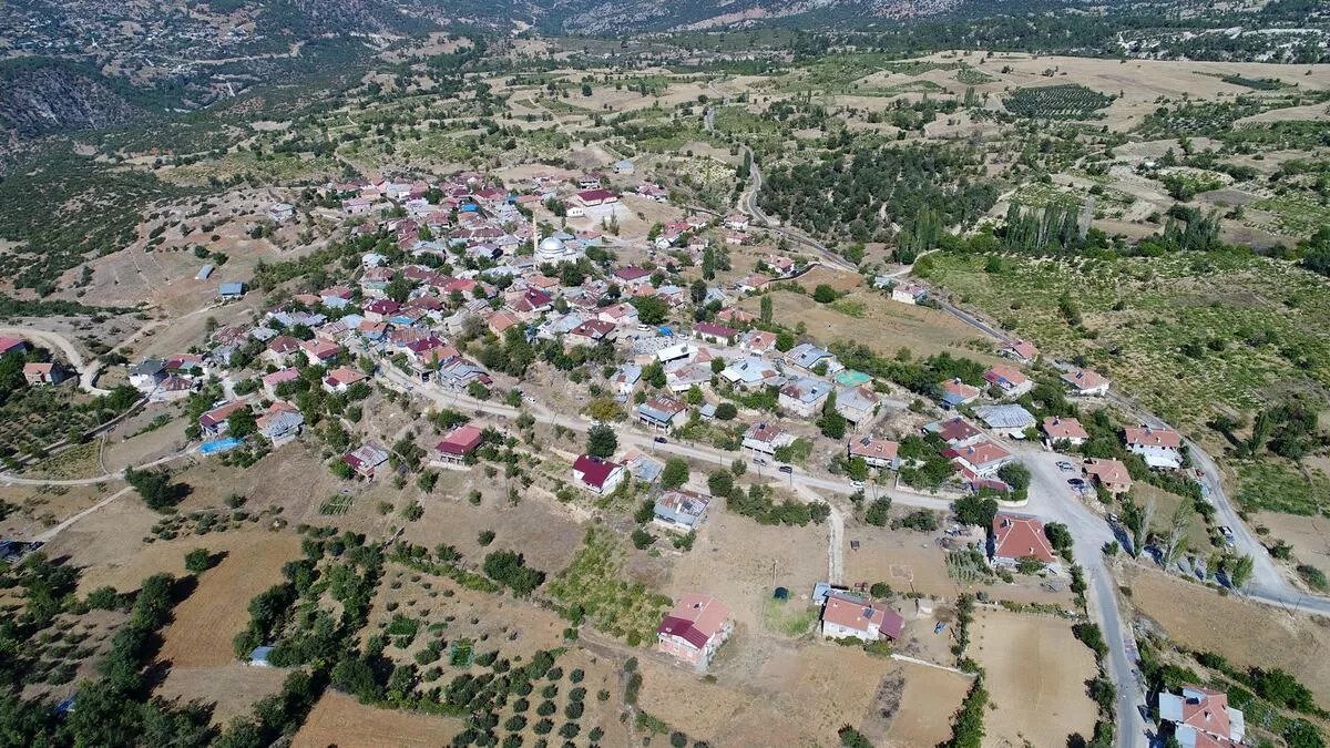


Sarıveliler
Sarıveliler is surrounded by the districts of Ermenek in the east, Başyayla in the northeast, Taşkent in the north, Gazipaşa in the south and Alanya in the southwest of the district, which is located on the Taşeli Plateau, covering the Göksu basin on the southern slopes of the Central Taurus Mountains in the north of the Mediterranean Region. The district borders also form a part of the provincial borders of Karaman-Konya and Karaman-Antalya. There are 1 town and 10 villages connected to the district. These are the Göktepe Municipality and the villages of Civler, Civandere, Cevrekavak, Uğurlu, Esentepe, Günder, Işıklı, Daran, Koçaşlı and Dumlugöze. The closest village to the district is Çevrekavak, the farthest village is Dumlugöze.