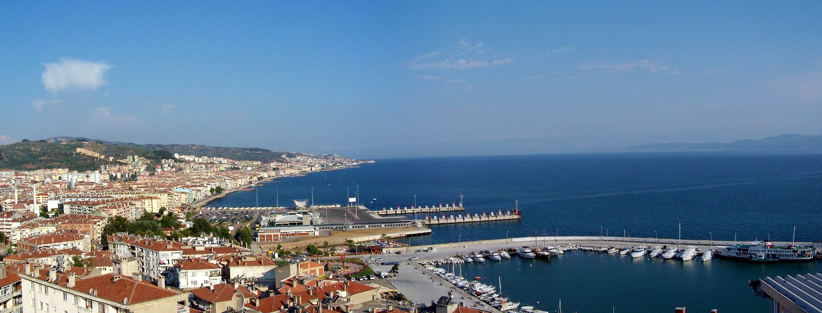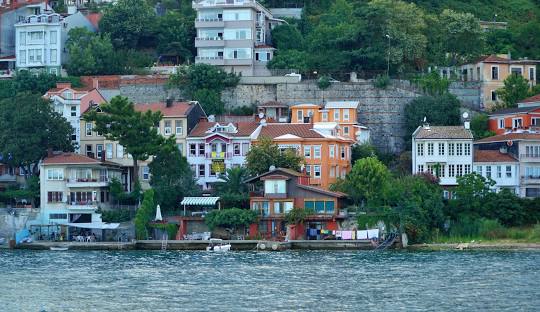
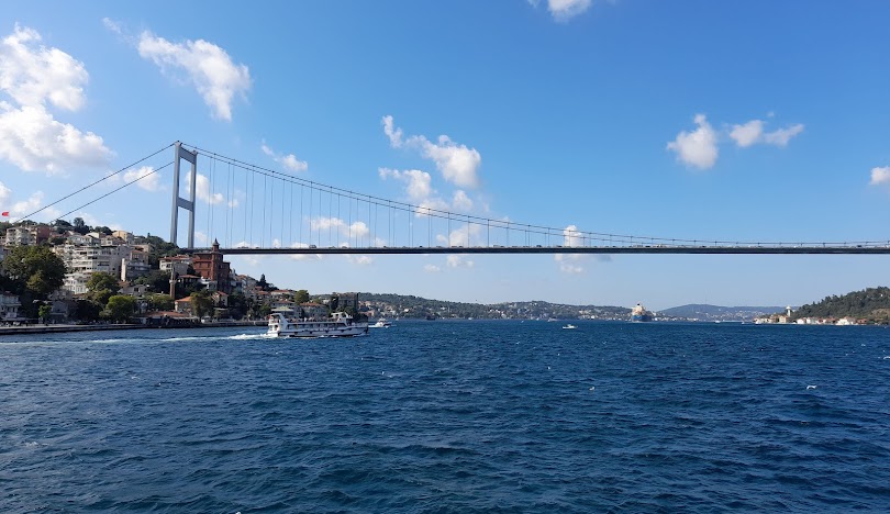


Sarıyer
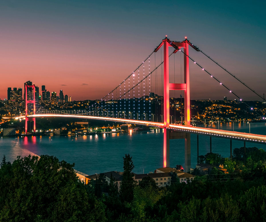
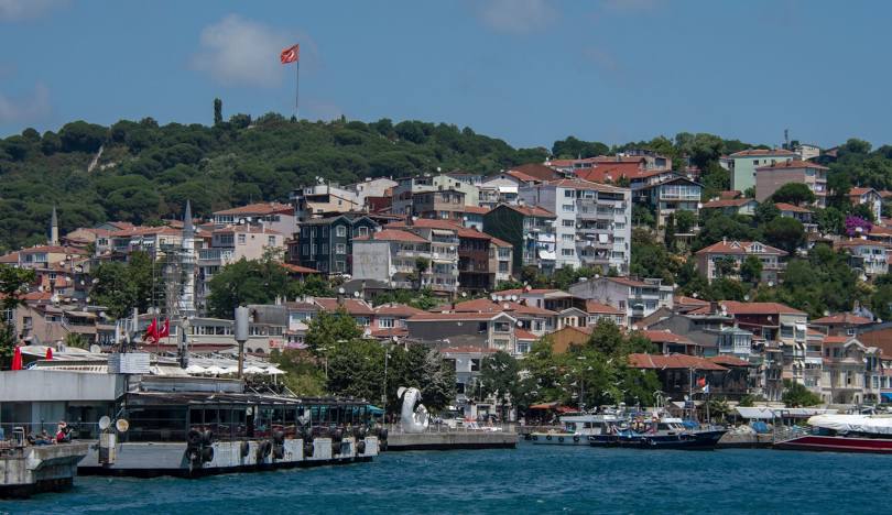
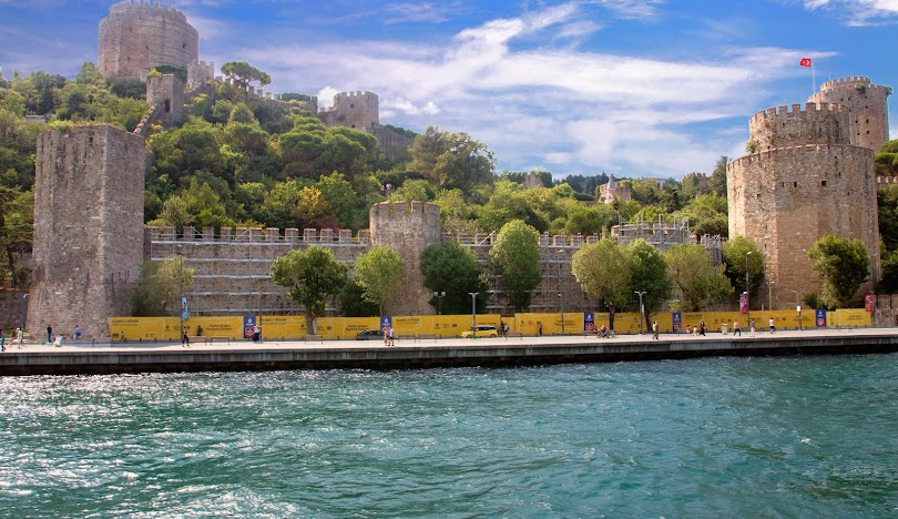
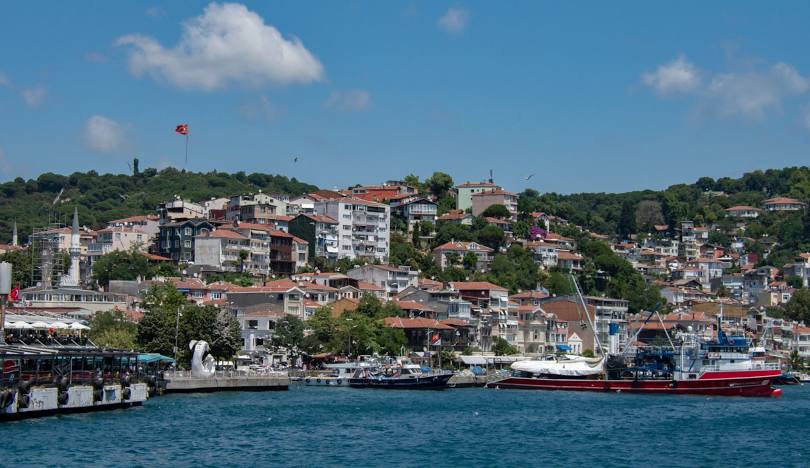
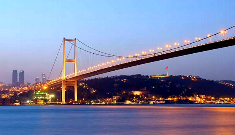
Sarıyer is a district located on the European side of Istanbul. It is surrounded by Beşiktaş and Kağıthane from the south, Eyüpsultan districts from the west, the Bosphorus from the east and the Black Sea from the north. Sarıyer district consists of 38 neighborhoods in total. The district, which took its final form after Bahçeköy Municipality was dissolved in 2009 and became a neighborhood of Sarıyer district, and Ayazağa, Maslak and Huzur neighborhoods within the borders of Şişli were included in this district in 2012, is one of the northernmost districts of Istanbul. The first name of the district is Simas. There are different narratives about the origin of the name Sarıyer, some of which are immediately obvious as epithets. Two blond soldiers of Sultan Mehmed the Conqueror are buried here next to the Central Mosque, so the region is called Sarıyer, meaning "yellow soldiers of the Conqueror", or the name of the region is Sarıyer, from "Yellow lira place", because of the gold spent by the rich Egyptians in the region, which has long been a recreation area. In addition to the rumors, the consistent assumption is that the ridges towards Maden District in the northwest of Sarıyer are yellow due to the gold mines and clay, and the settlement here was first called Sarıyar because of these yellow soils. In Ottoman sources, XIX. The use of Sarıyar continued until the century. The word yar not only means cliff, but also means mountain slope or mountain ridge. Another rumor is that the gooseberry plant, which spreads naturally in the region, is due to the distinct yellowness of the entire area when it blooms.