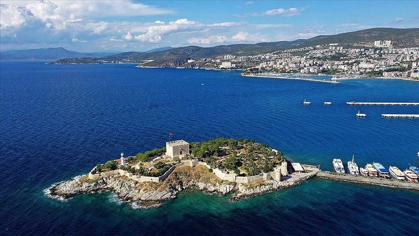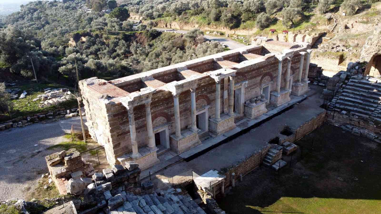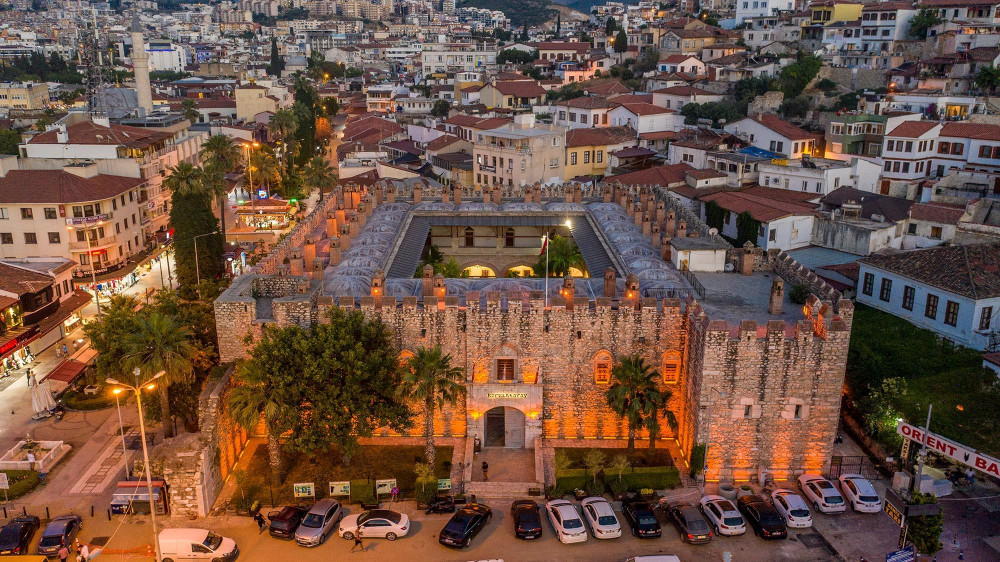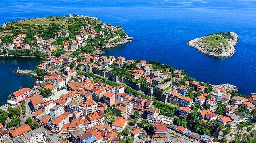
Day Tours


The oldest known civilization in Sivaslı land is the Hittites. Hittites BC. They established a political union in Anatolia around 800 BC. Artifacts from these periods can be found in Tatar, Yayalan and Agacbeyli towns. B.C. Lydia in 670 BC. Persian domination is seen in 570 BC. B.C. In 260 BC, the region was transferred to the Kingdom of Pergamon. In 132, it came under the rule of the Roman Empire. With the division of the Roman Empire in 395, the region passed into the hands of the Byzantines. It has remained under Turkish rule since 1072. It was occupied by the Greeks in August 1920. It was occupied on August 31, 1922. It was liberated on August 31, 1922. It was established on the 35th km of the Uşak-Denizli highway, southeast of Sivaslı city center, at the foot of the Bulkaz Mountain. Banaz in the northeast, Afyon, Sandıklı in the east, Denizli in the south. ,Çivril is surrounded by the districts of Karahallı in the southwest and Ulubey in the west. Banaz Stream, one of the branches of the Büyük Menderes river, passes through the territory of the district. The continental climate prevails in the Inner Aegean.Its distance from the city center is 35 km. is at a distance.
Accommodation
Transport
Comfort
Food