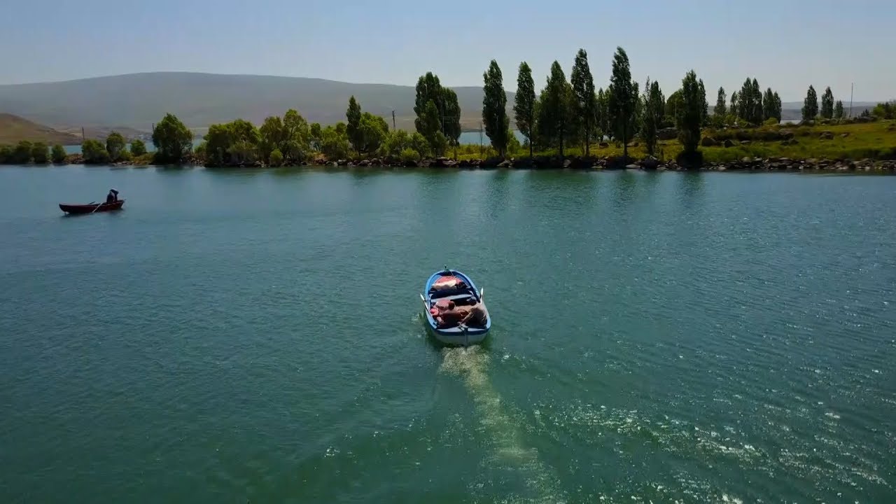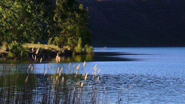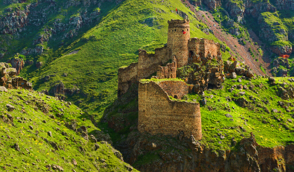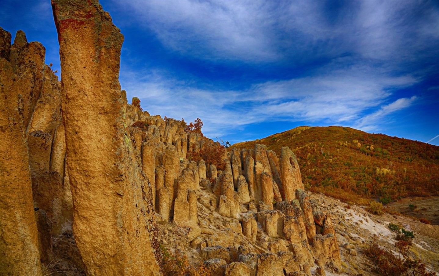
Transfers
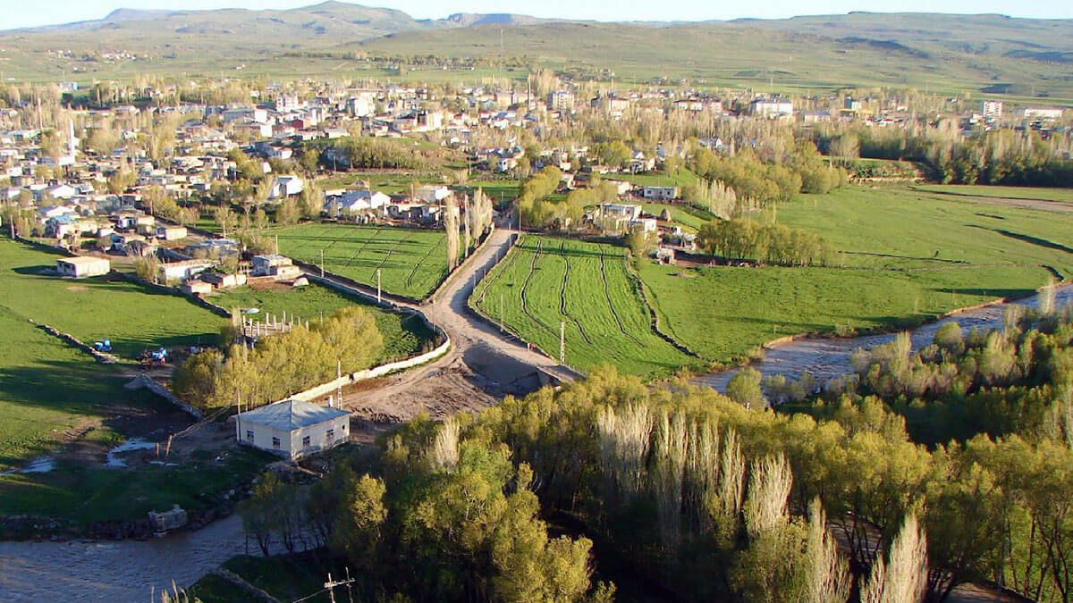
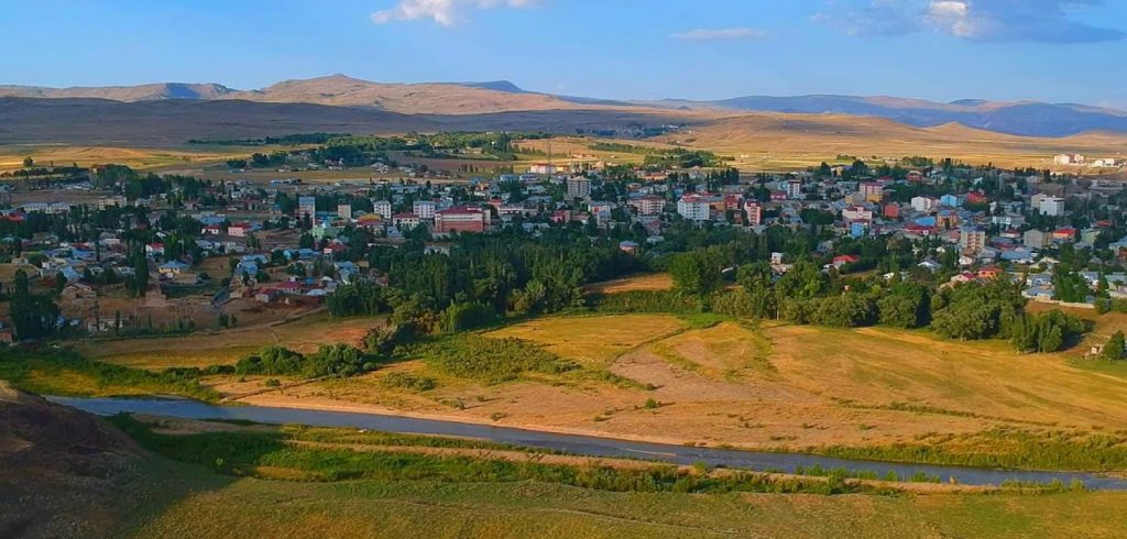
Taşlıçay
It was established on the Turkey - Iran transit route, on the northern bank of the Murat River. Diyadin and Doğubeyazıt in the east, Ağrı and Eleşkirt in the west. Its area is 798 km2, its height above sea level is 1660 meters. The highest point of the district, Muratbaşı (Koçbaşı) on Aladağ in the south, is a 3510m high mountain. The continental climate is dominant in the district. Summers are hot, winters are cold and snowy. In high places, the snow thickness reaches 1 meter. As of 2020, its population is 22,000 in total and its center is 6,500. The economy of the district and the livelihood of the people are mainly agriculture and animal husbandry. It is 30 km from Ağrı, 65 km from Doğubeyazıt, 1095 km from Ankara and 1450 km from Istanbul.