Transfers
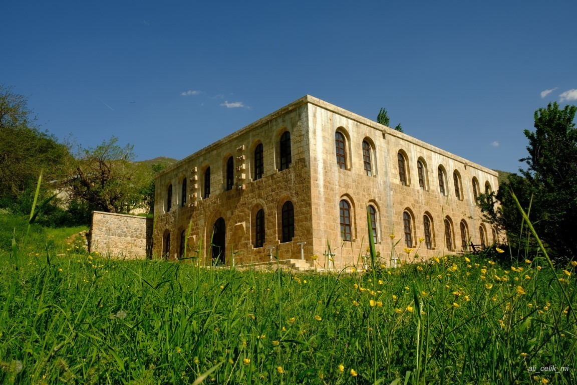
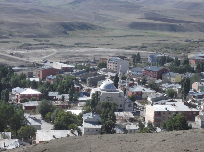
Tekman
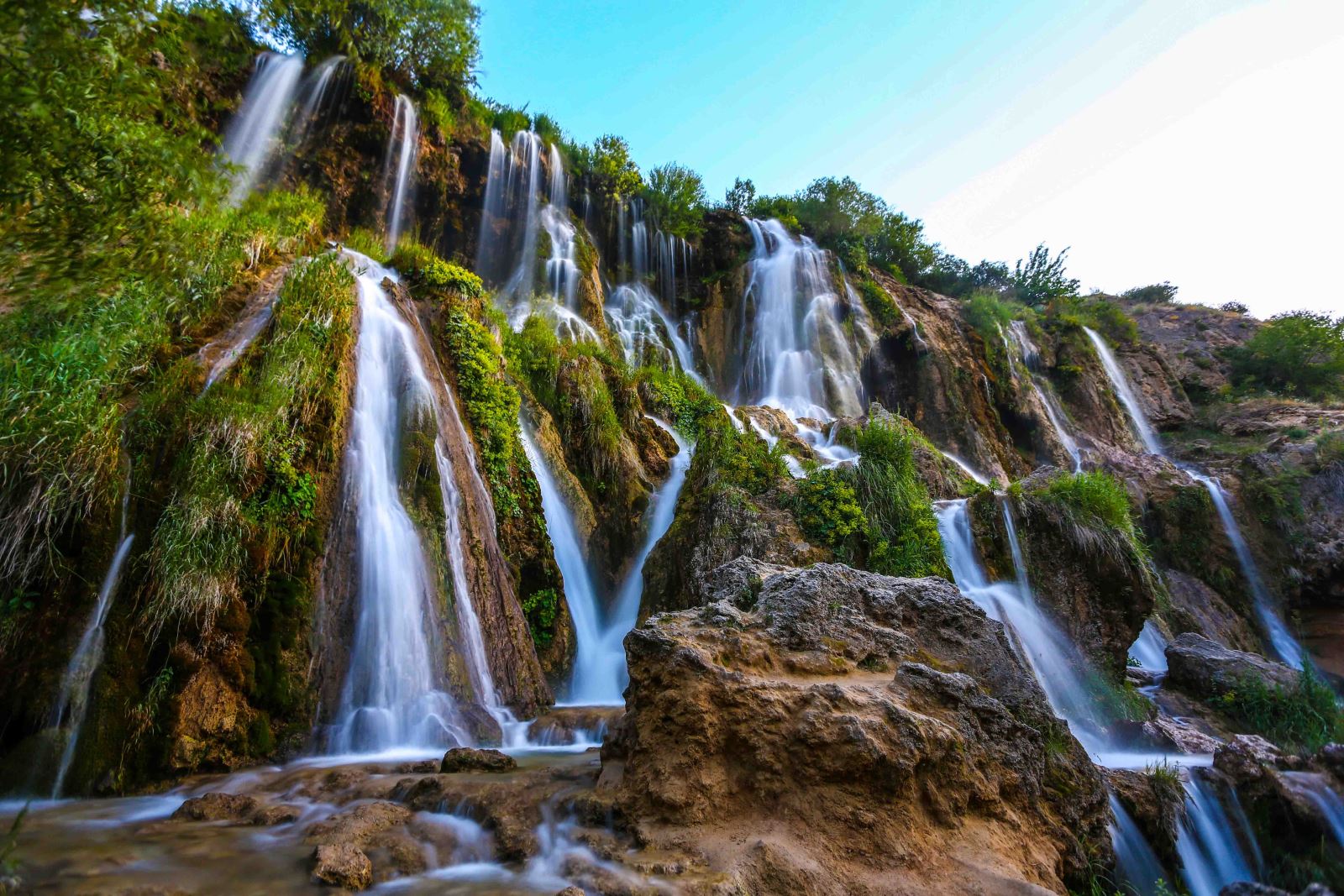
Although the exact date of establishment of the district is not known, the settlement was mentioned with the name "Tatos" of Armenian origin. It joined the Ottoman administration in 1517. While it was a village of Hınıs district until 1946, it was made a district in the same year. Bayındır, Hatunan and Çimenözü villages, which were previously connected to the district, were connected to Çat district due to their geographical location, Erduran and Dibekli villages were connected to Hınıs district, Akdağ village of Karayazı district and Gümüşlük, Güneşli, Çat Kale, Çağlar, Çayır mountain and Kuruca connected to Hınıs district villages are also connected to Tekman district. Tekman district is at a distance of 151 km from Erzurum province and is located in the south of the province. Its area is 2197 km². The district is adjacent to the province of Bingöl. Because the altitude of the district is above 1800 meters on average, plateaus and pastures cover a large area. There are Palandöken Mountain in the northwest of the district, Kargapazarı Mountains in the north, Bingöl Mountains in the east and southeast. Aras River, one of the most important rivers of Turkey, originates within the borders of the district. Today, the district has 71 neighborhoods. In Tekman, where the continental climate prevails, which is unique to Eastern Anatolia, the summers are short and cool, and the winters are quite cold and long, such as 7-8 months.