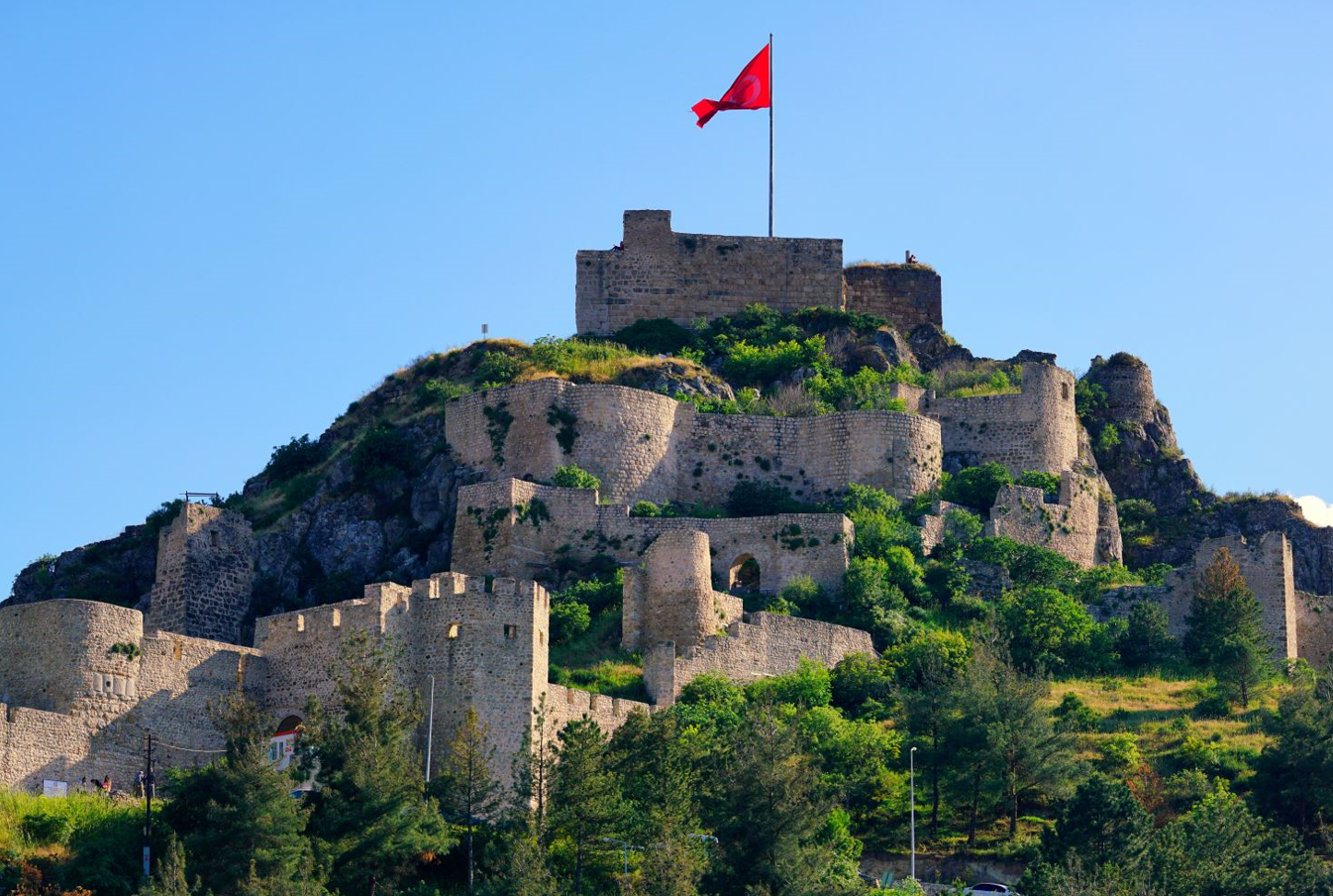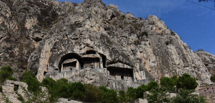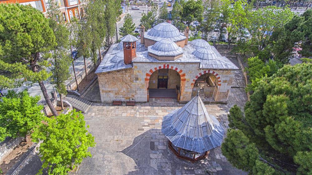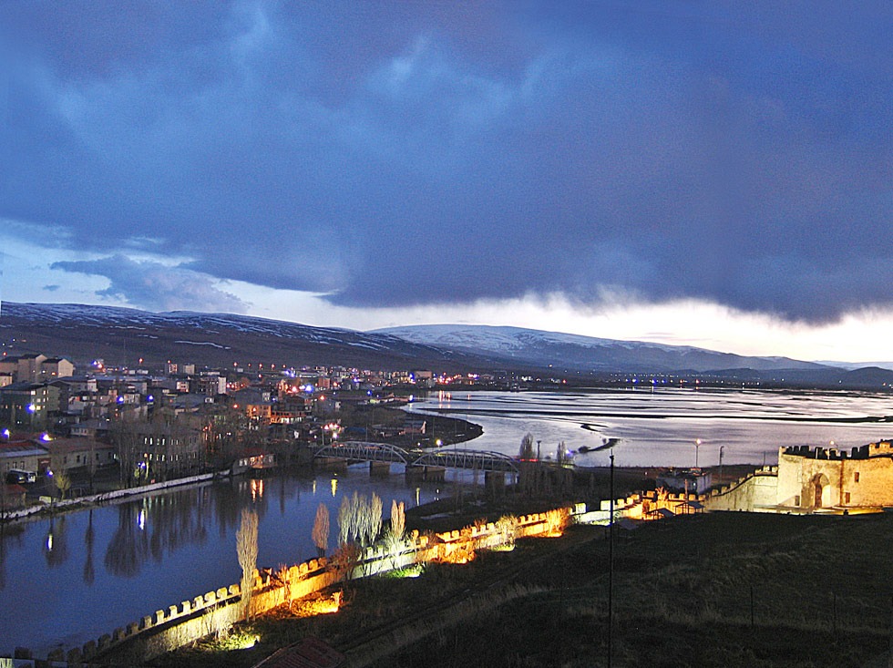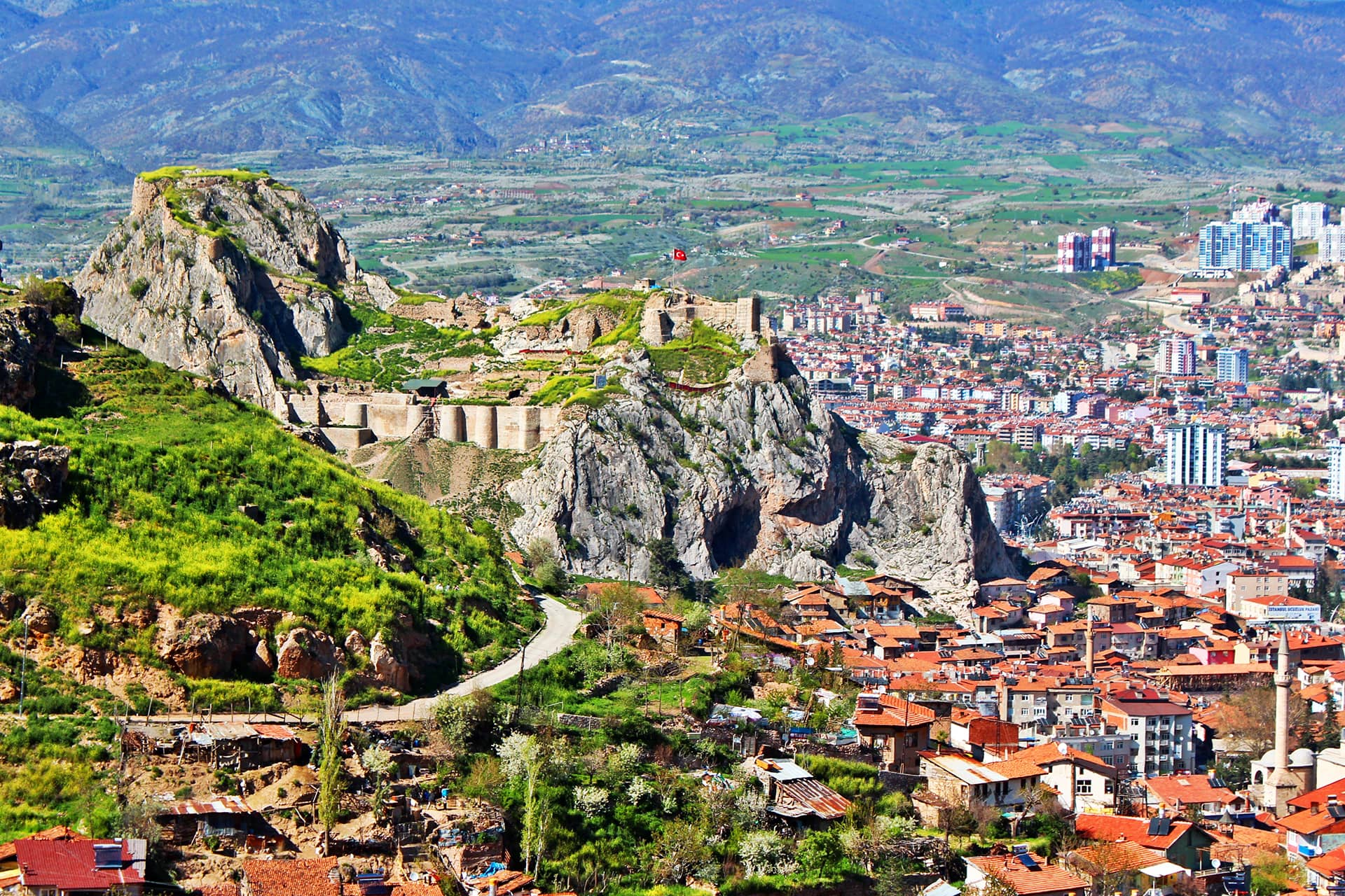
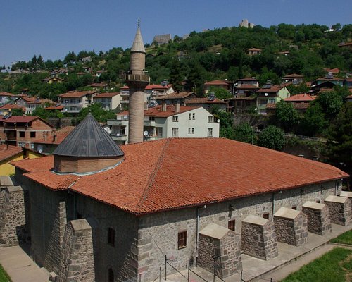


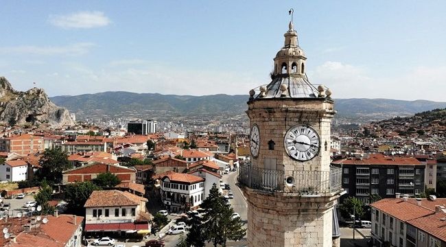


Tokat City Center
Tokat formerly the name of the Byzantine Period Komana, Greek τοκάτη, the name of the Empire of the Ahameniş Kah-cun, Dar-Nusret during the Seljuk State, the Mongols period, also known as the name of the Black Sea Region. It is adjacent to Samsun in the north, Army in the northeast, Sivas in the east and south, Yozgat in the southwest and Amasya in the west. Yeşilyurt and Sulusaray remain in Central Anatolia. Erbaa in 1943, Artova and Turhal in 1944, Almus in 1954, Pazar in 1987 and Yeşilyurt, Sulusaray and Başçiftlik districts were established in 1990. According to February 2021 TURKSTAT data, there are 12 districts, 37 municipalities and 315 neighborhoods and 613 villages in these municipalities. The height of the city center from the sea is 630 m.