Transfers
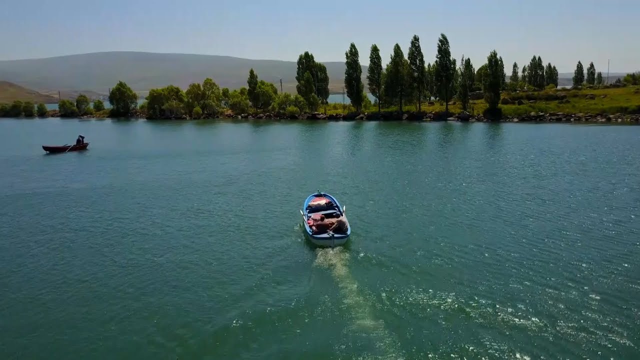
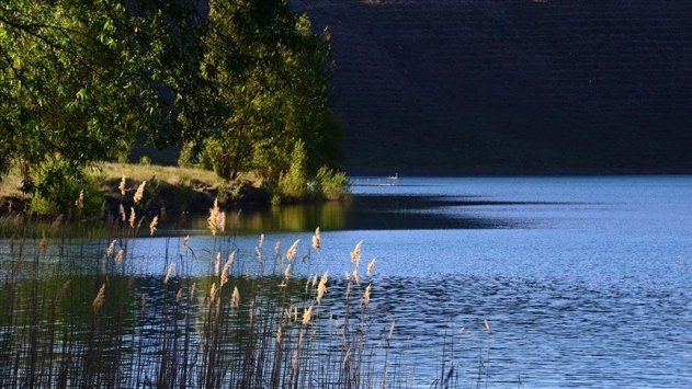
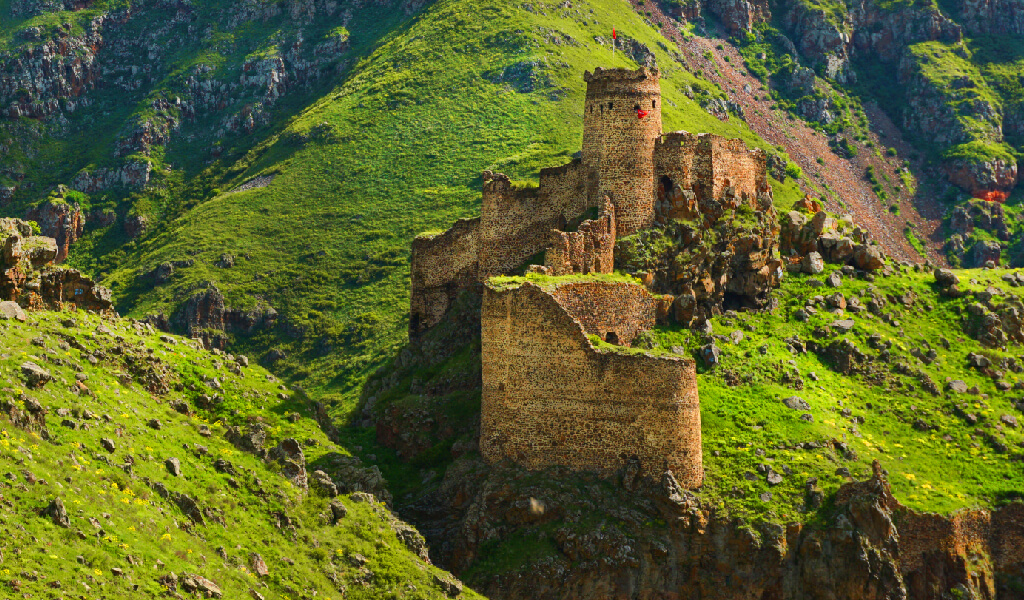
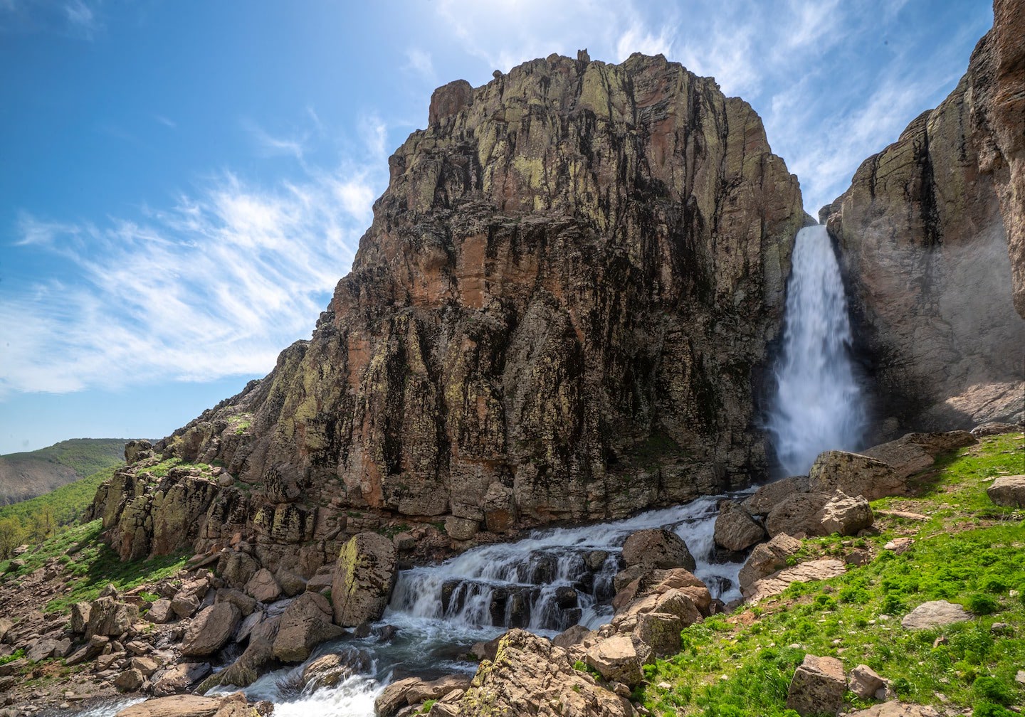
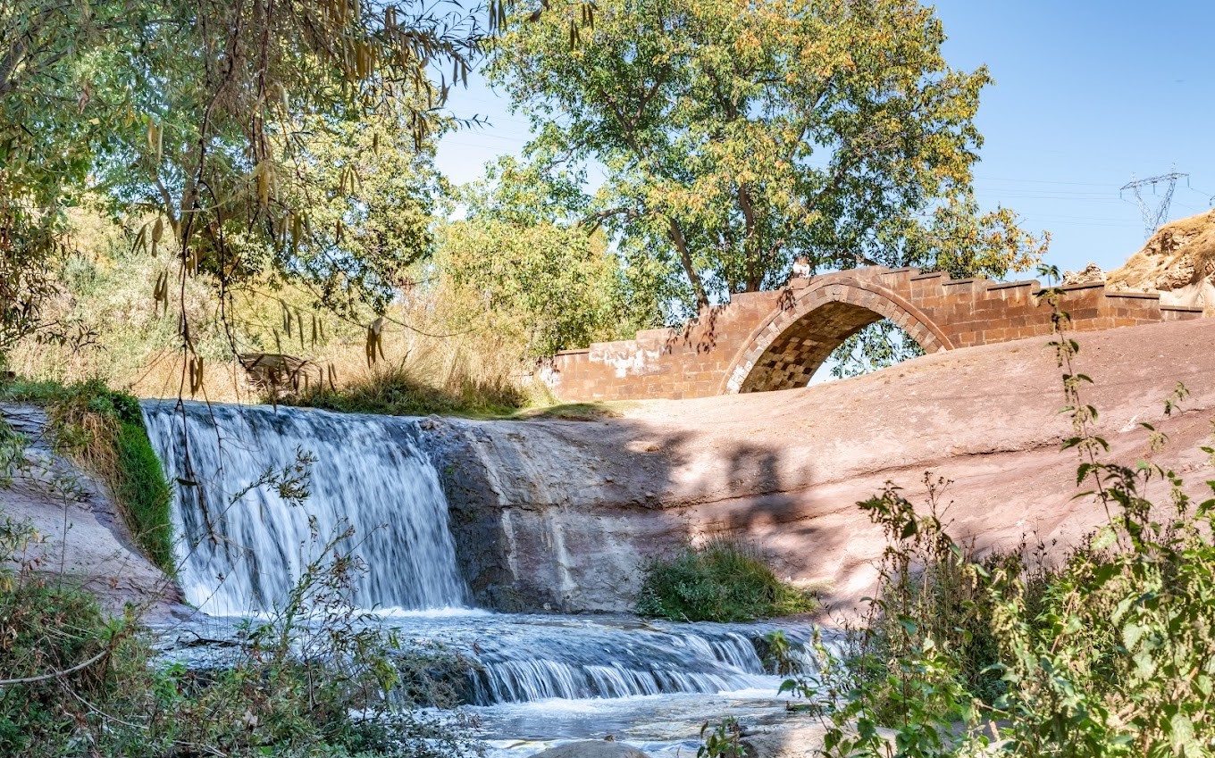
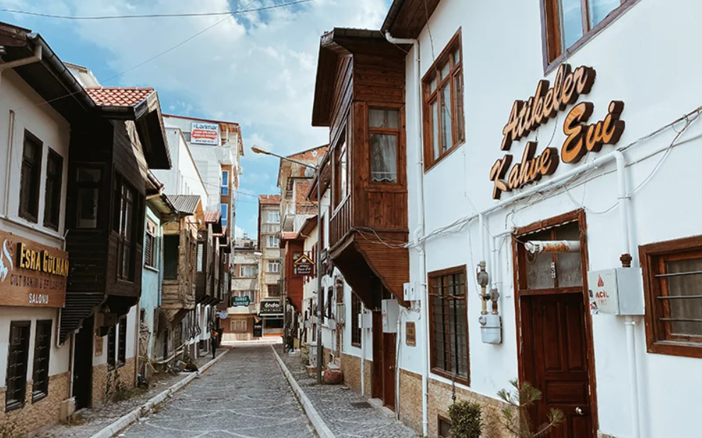
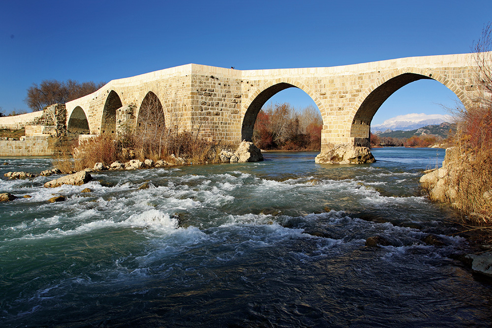
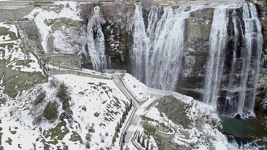
Tortum
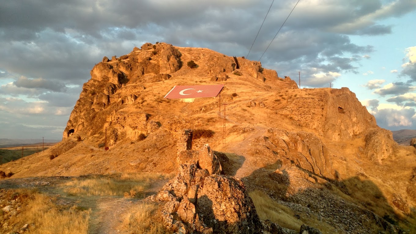
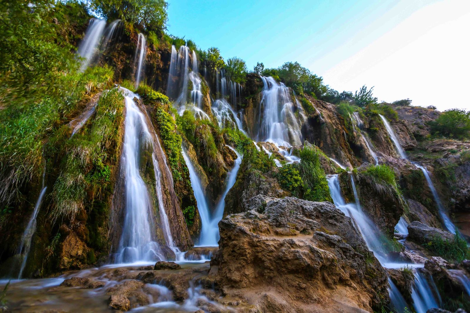
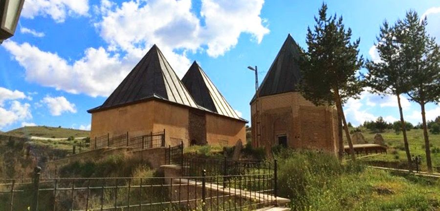
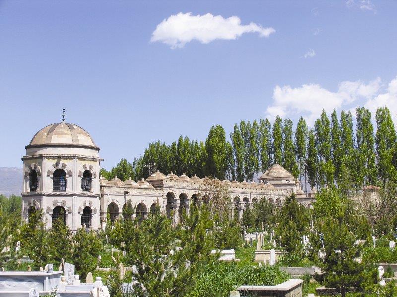
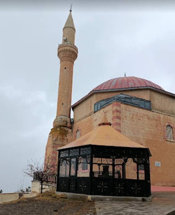
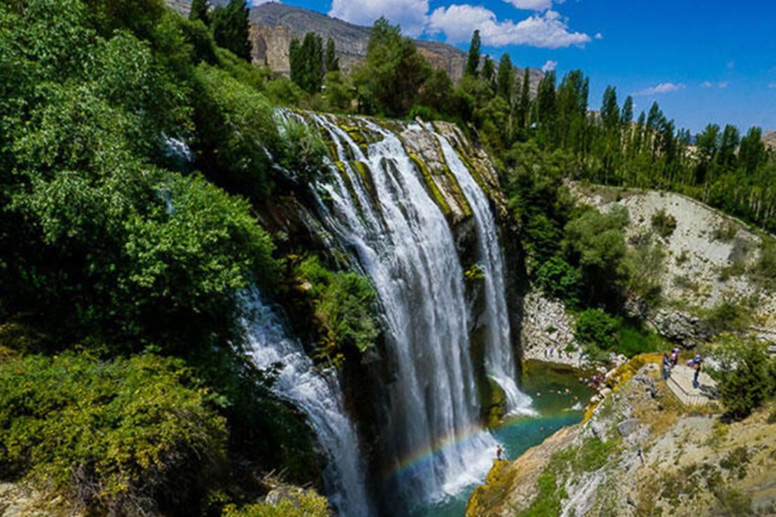
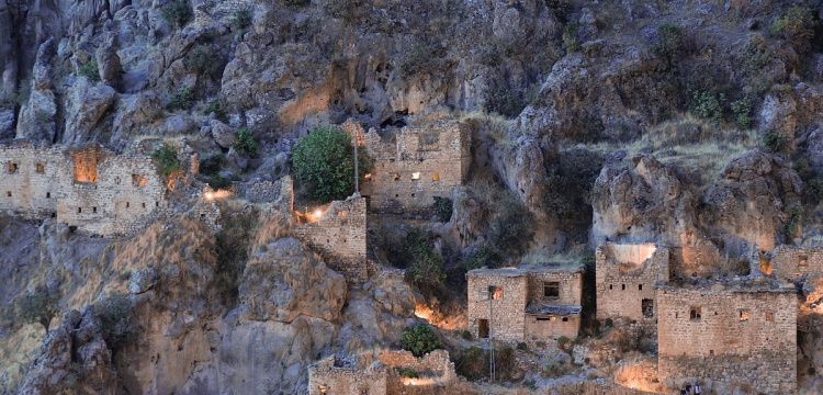
The history of Tortum, which has an important place due to its location as a junction connecting the road from İspir to Erzurum and connecting the Narman and Oltu valleys to the east, dates back to ancient times, but there is no definite information about when and by whom the first settlement in the region was made. However, the archaeological researches carried out near Tortum show that the region exhibits a prehistoric settlement feature and is included in the Karaz Culture. The district was established on an area of 1467 km2 in the Black Sea region in the north of Erzurum and is surrounded by the Oltu, Pasinler, Narman, İspir, Yusufeli and Uzundere districts of Erzurum province. The land structure of the county, which was built on a narrow and long valley, is quite mountainous and rural. The altitude of the district is 1450 meters above sea level. Tortum is a residential area established in the Tortum Stream valley within the borders of the Eastern Black Sea region of the Black Sea region. The continental climate prevails in the south and west, and the Black Sea climate prevails in the north and east. It is 52 km from Erzurum. Although it has a mountainous terrain, it resembles a paradise in the valley with its villages established around Tortum Stream. It has two important mountain ranges. One of them is Akdag and Mescit Mountain, which is approximately 3000 meters high, lying in the east of the Tortum Stream valley. Culturally, Tortum has a very colorful structure. Caucasian culture, Erzurum (Dadaş) culture and Eastern Black Sea (Hemşin) culture and lifestyle dominate in the district. Local instruments such as drums, zurna, tulum and kaval are played in the town center and its villages. Traditional folk dances are bar dances and horon. In the food culture made in the region, the pastry is in the foreground due to the intense influence of the Caucasian and Black Sea cultures.