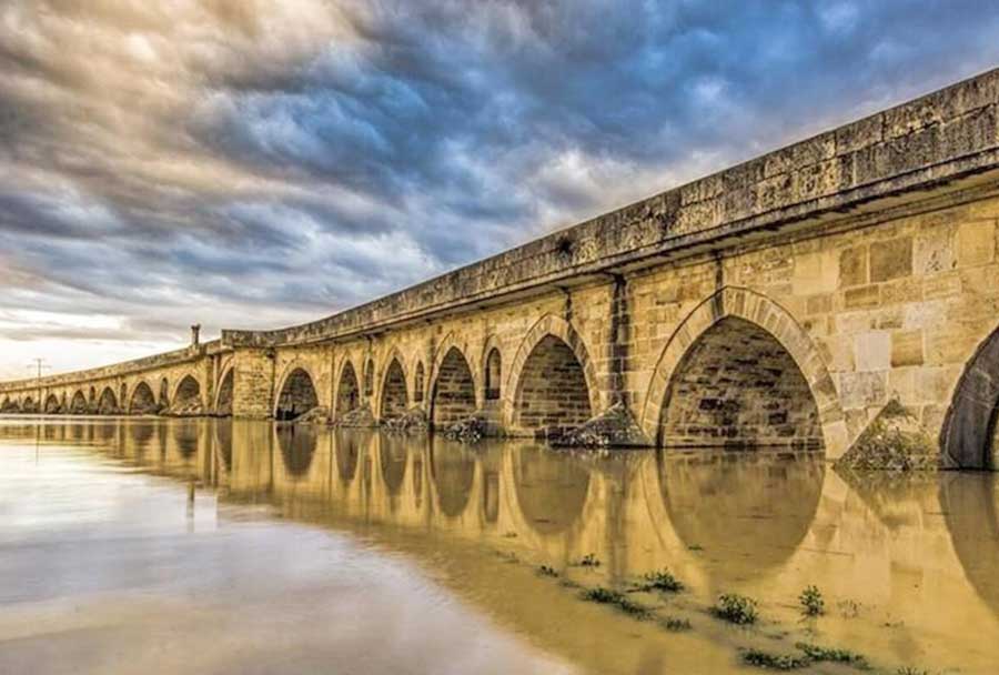
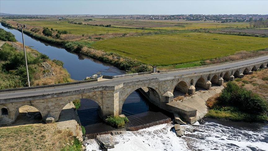

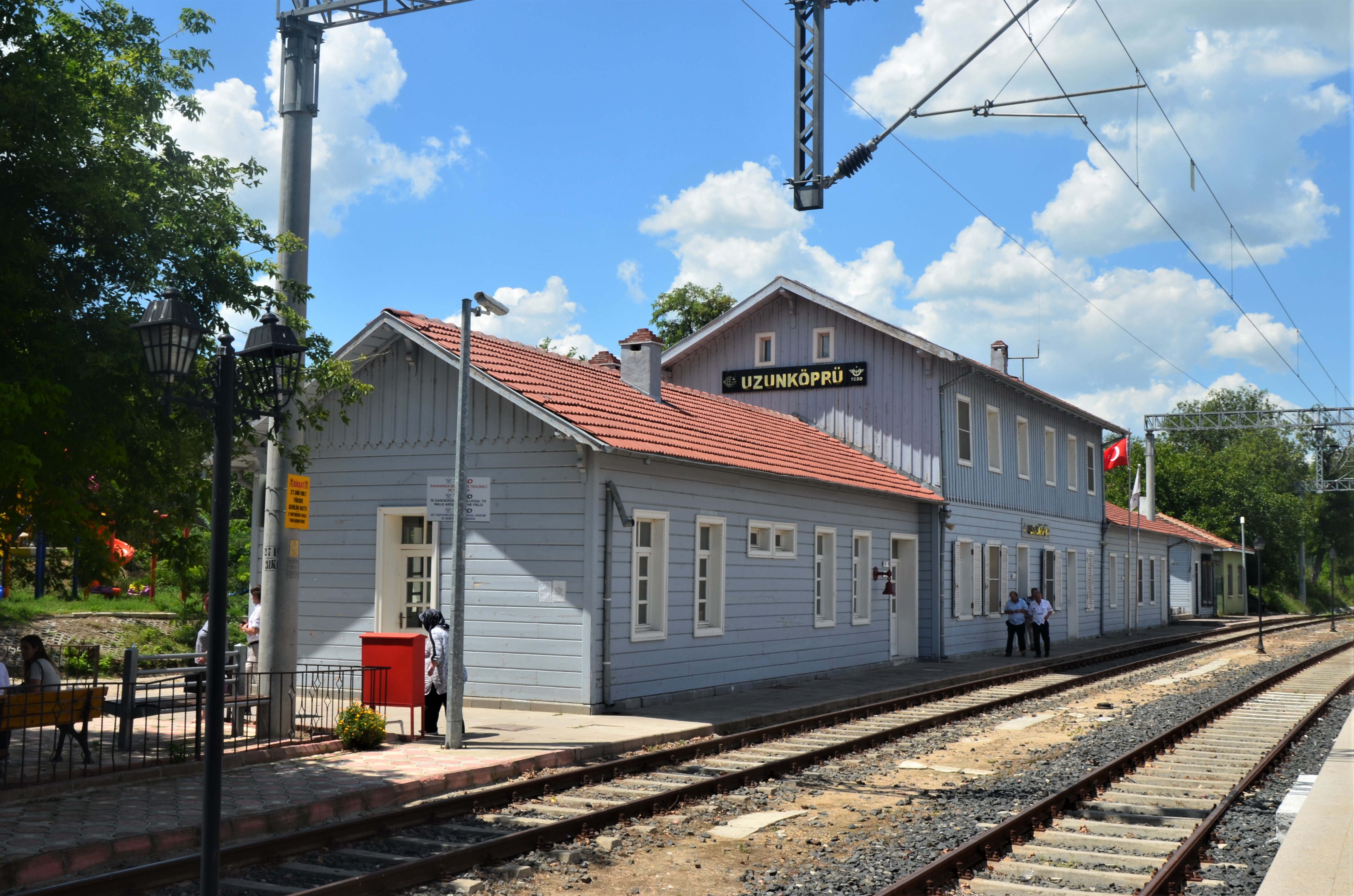

Uzunköprü
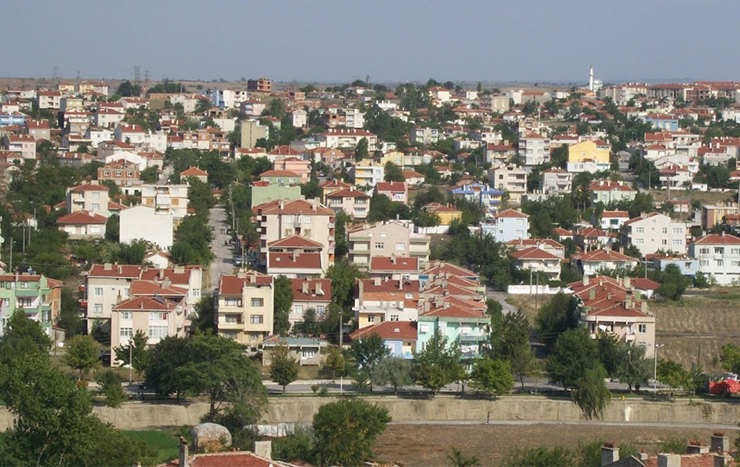
The Uzunköprü district of Edirne, which takes its name from the world's longest stone bridge, is located on the banks of the Ergene river. Uzunköprü, which is a strategically important border city on the transit roads connecting Turkey to the Balkans and Europe, is the first district of Edirne in terms of area and the second largest district in terms of population. The district has 53 villages. Uzunköprü is located on the westernmost border of Turkey, in the middle of Edirne province. It is adjacent to Greece and Meriç district to the west, Tekirdağ to the east, Kırklareli to the northeast, İpsala and Keşan districts to the south, Edirne center and Havsa district to the north. Its area is 1224 km². The altitude of the district, which is located on the Ergene plain, is 18 m. and 75% of it is covered with plains. The highest point of Uzunköprü, which has small hills and plateaus in its north and south, is 221 m. and Süleymaniye Hill. The district is in the Thracian Passage Type area of the Mediterranean climate, which is a harsh climate between the maritime and continental climates. The winds are generally from the north and are moderately strong. Summers are hot and rainless, winters are cold and snowy. The most rainy season is in spring.