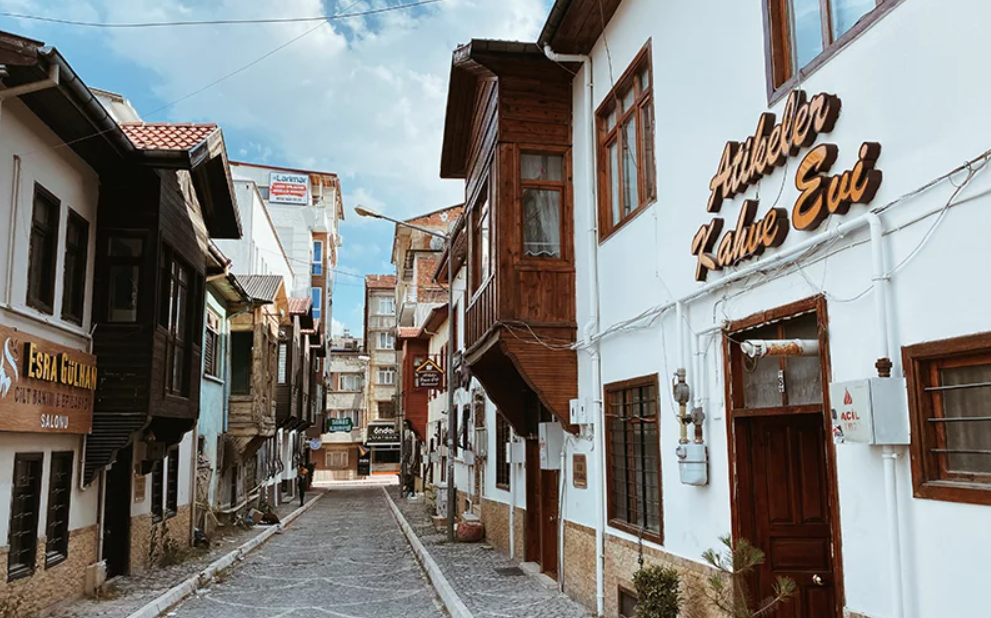

Transfers
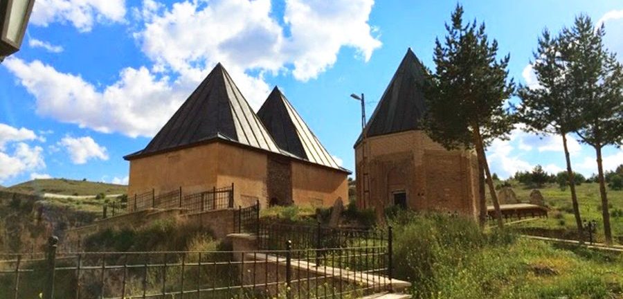
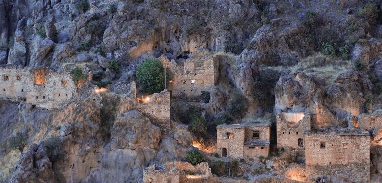
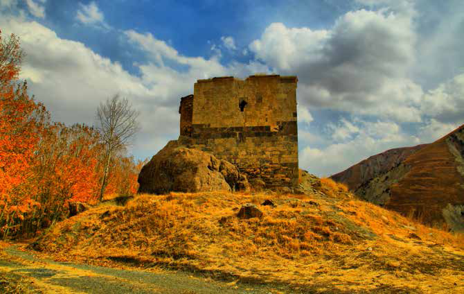
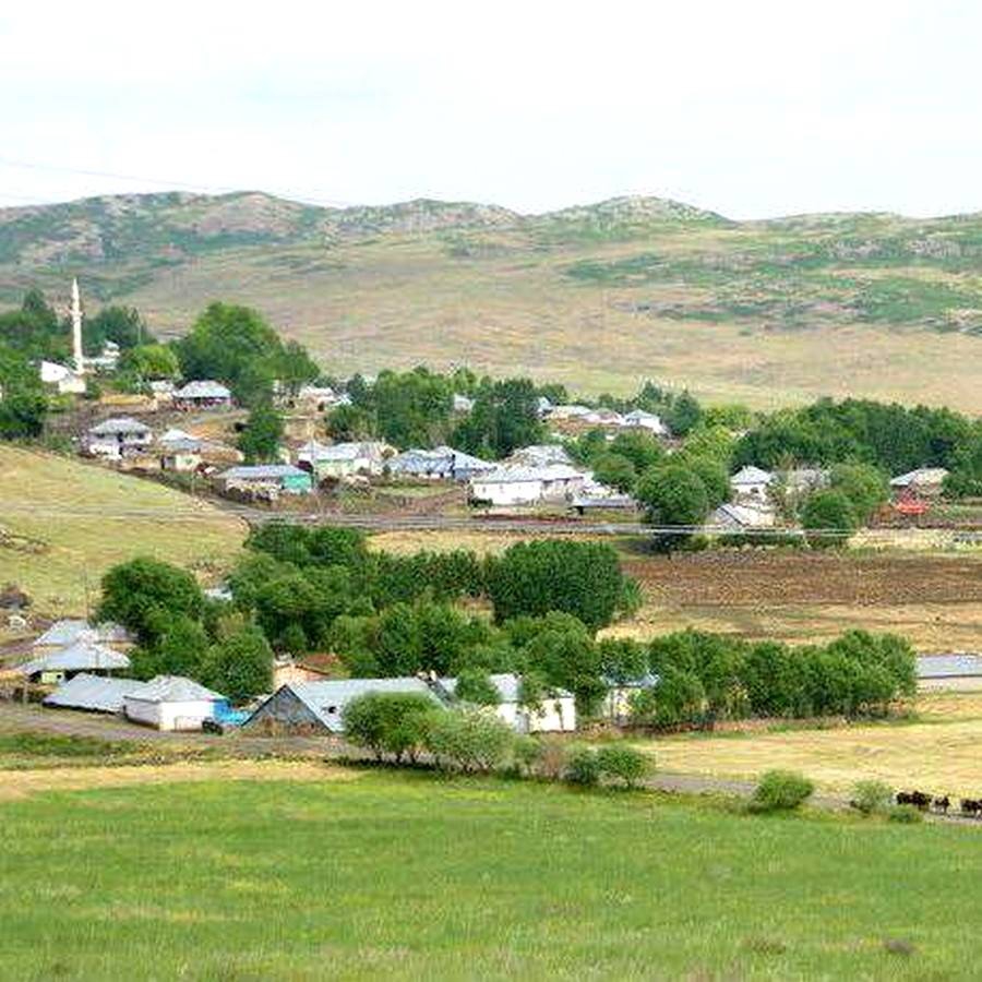
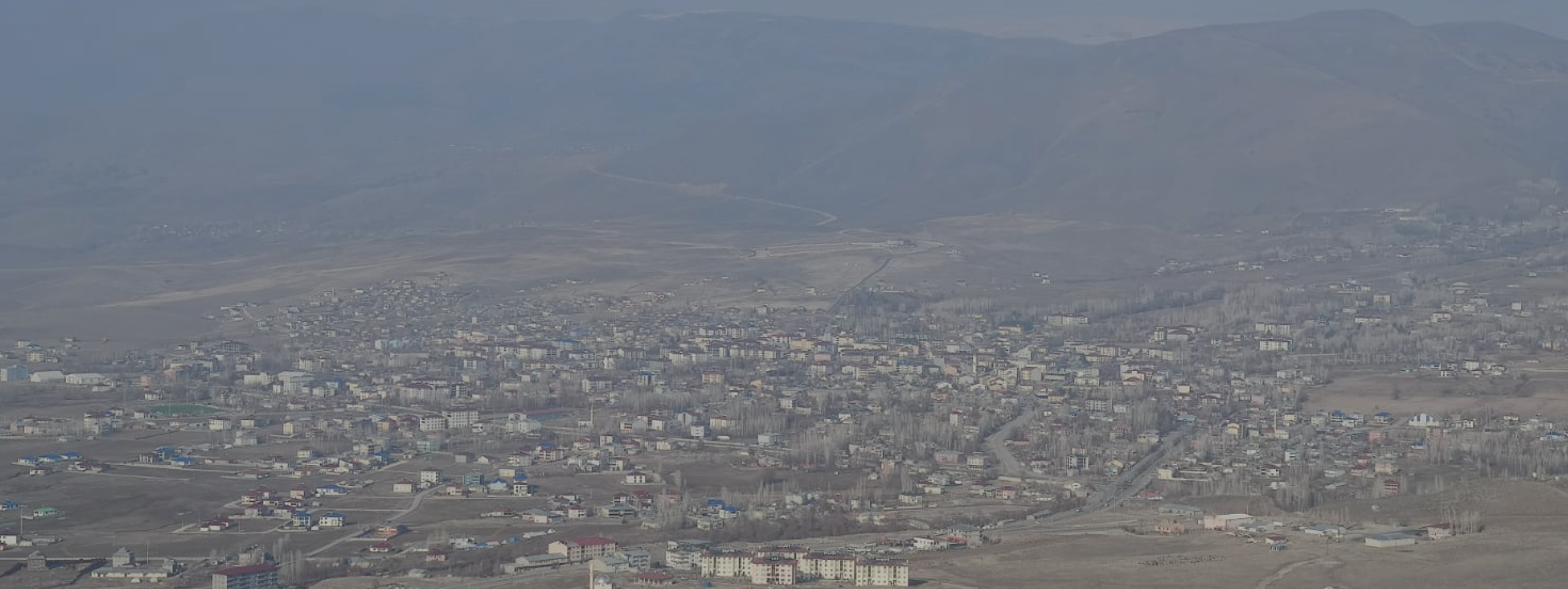
Varto
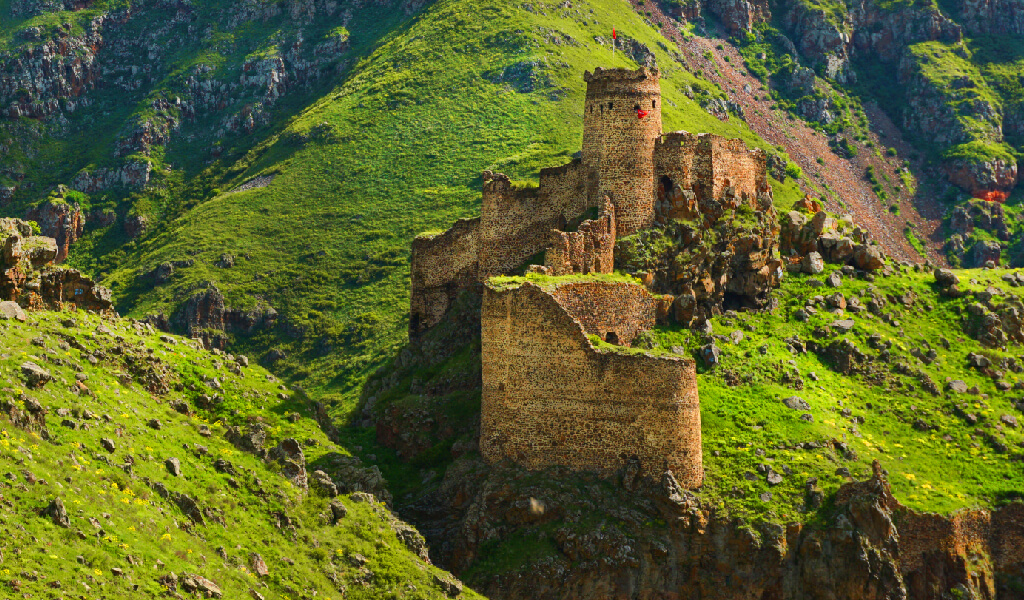
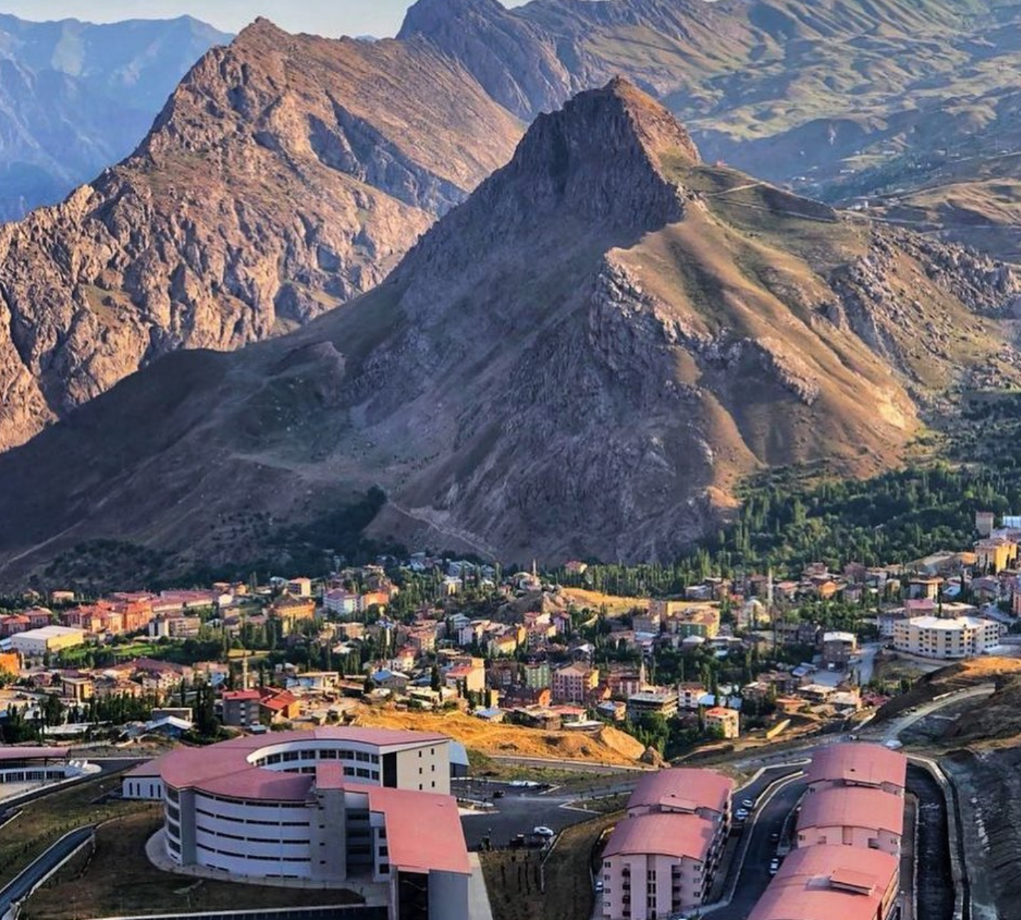
Varto district is located in the northwest of Muş province area. It is surrounded by Erzurum province and Hınıs and Tekman districts in the north, Solhan and Karlıova districts of Bingöl province in the west, Bulanık district of Muş province in the east and Merkez district in the south. Its area is 1418 km². It covers 17.3% of Muş's area. The district area, which is usually covered with mountains, is also located at the highest part of the Muş province area. The extensions of the Bingöl Mountains make the northern part of the district rough.
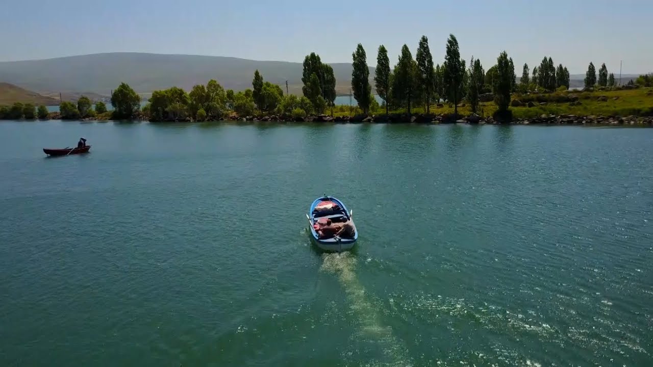
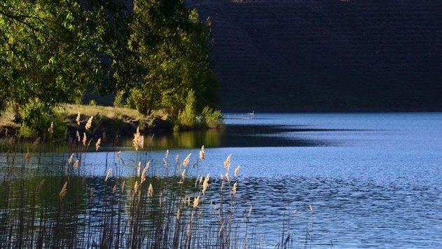
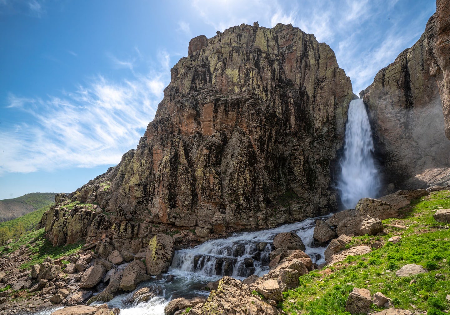
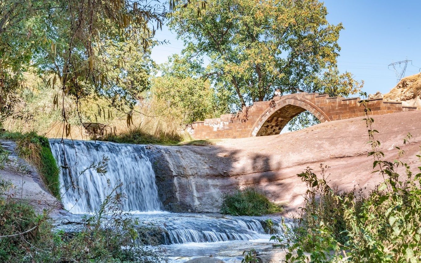
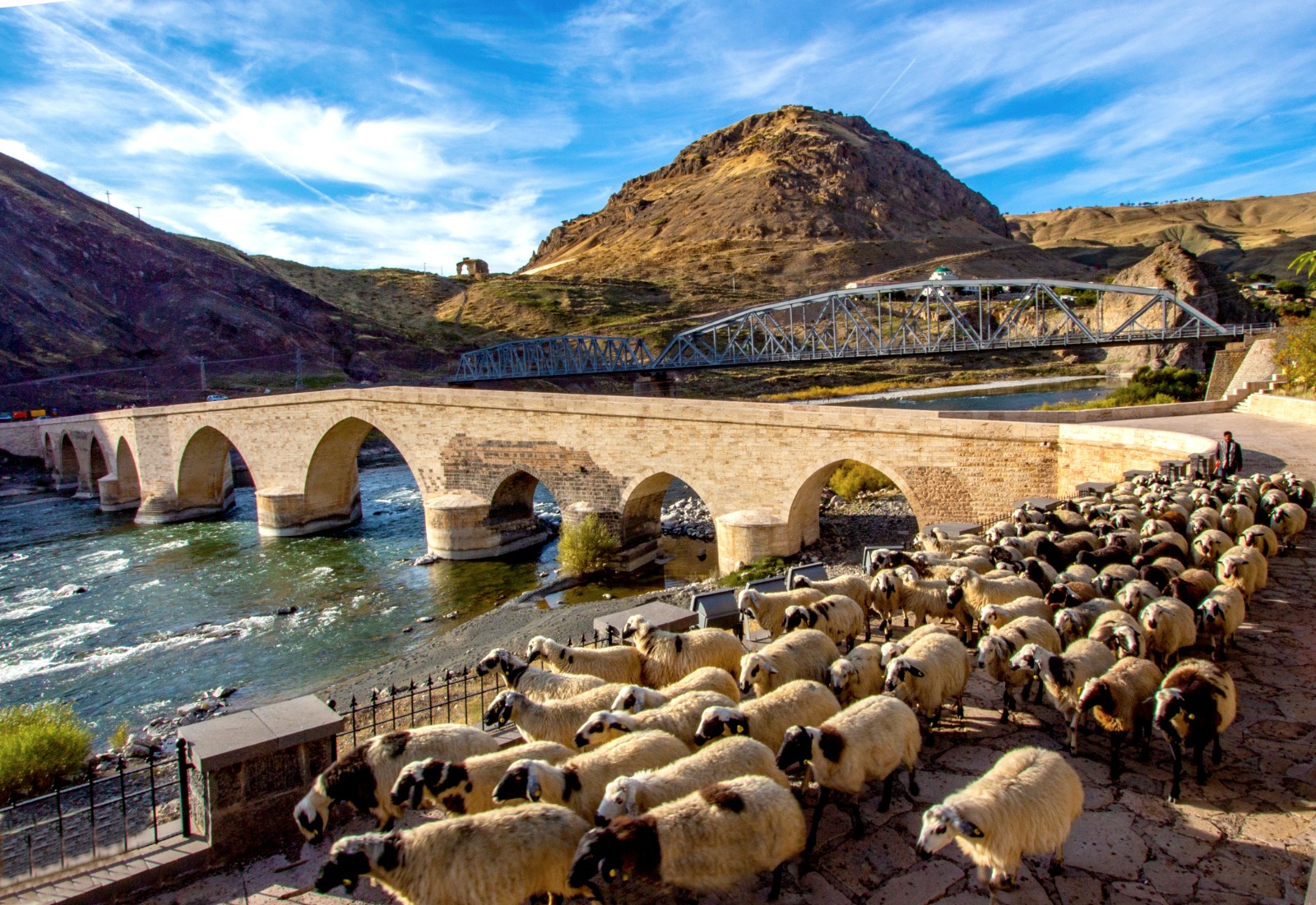
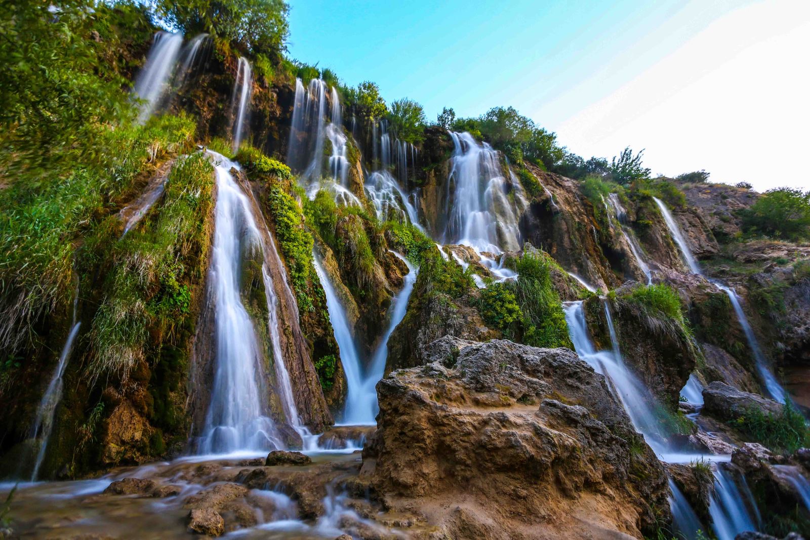
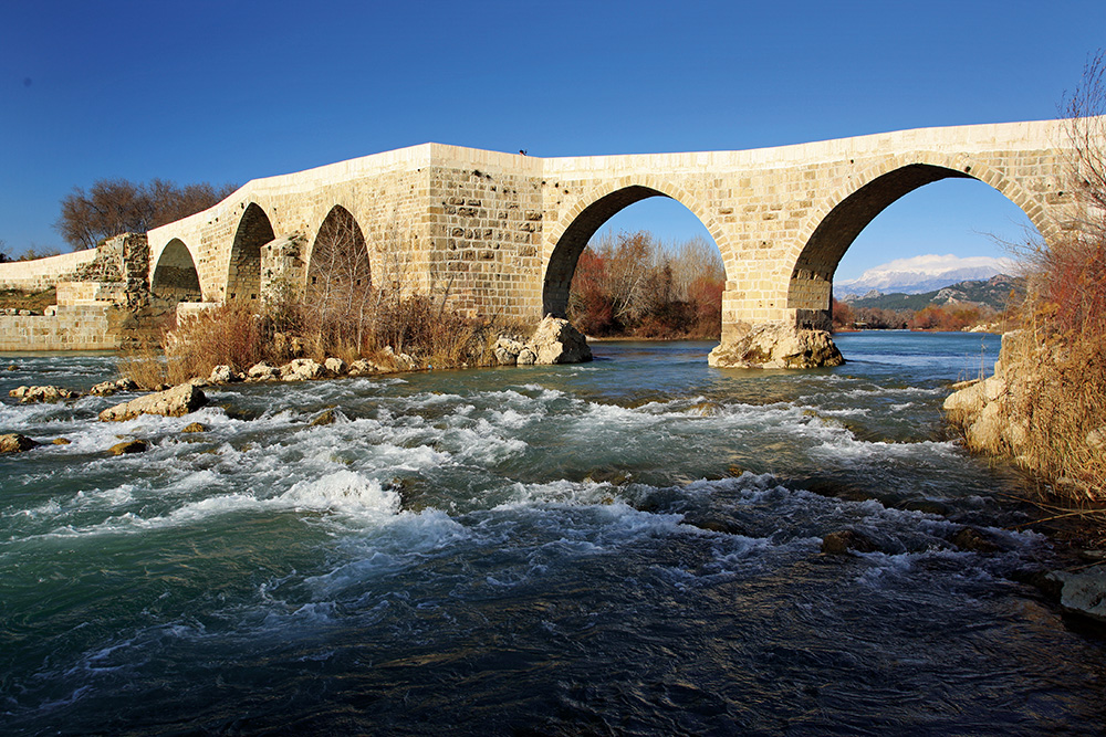
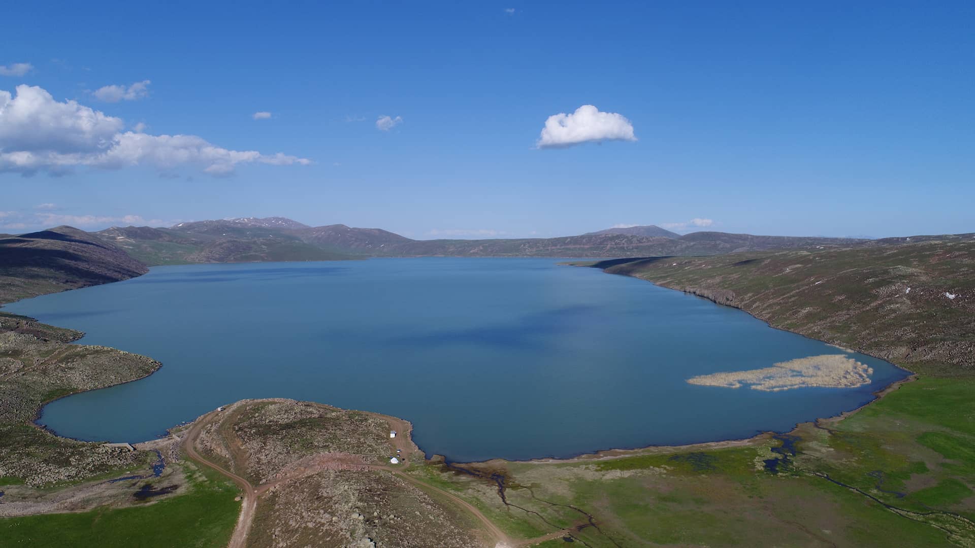
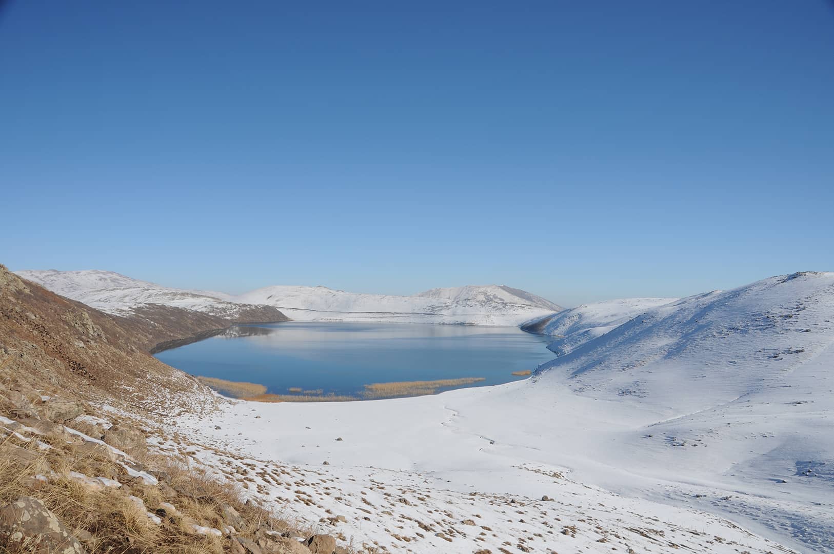
The district area is deeply fragmented by the Murat River, the Bingöl Stream and the tributaries of these two streams. Murat River enters the district area from the east. It flows in the east-west direction, as if forming a natural border with the central district. It takes Bingöl Stream to the west of Kayalıdere village and turns south with an elbow and leaves the district area. Akdoğan Lake is in the east of the district. Just south of this lake is Küçük Hamurpert Lake. Büyük Hamurpet Lake is located in the northwest of Varto District, west of the Hamurpet Mountains. It is at an altitude of 2149 and at a depth of 21 meters. The lake is surrounded by steep rocks on all sides. Since its depth is less than the small lake, it is green in color. It is fed by spring and snow waters.
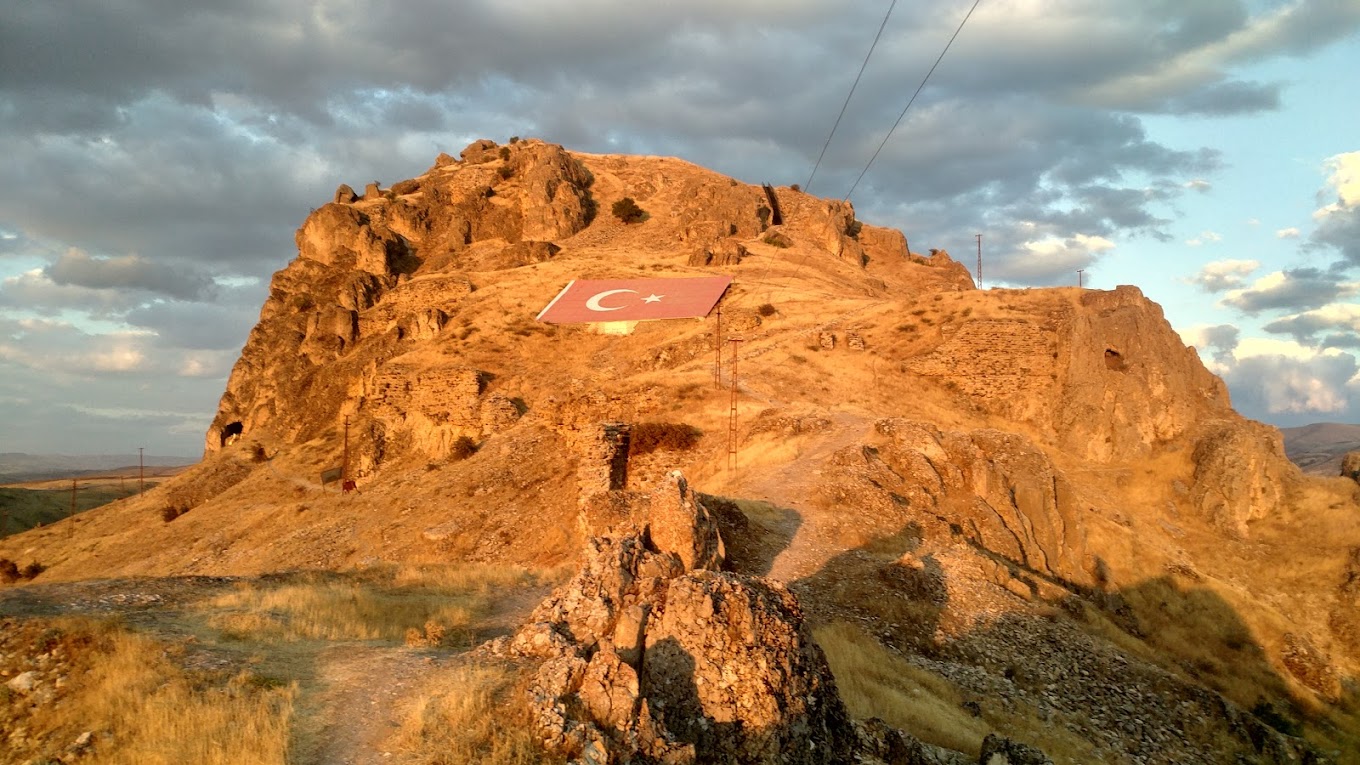
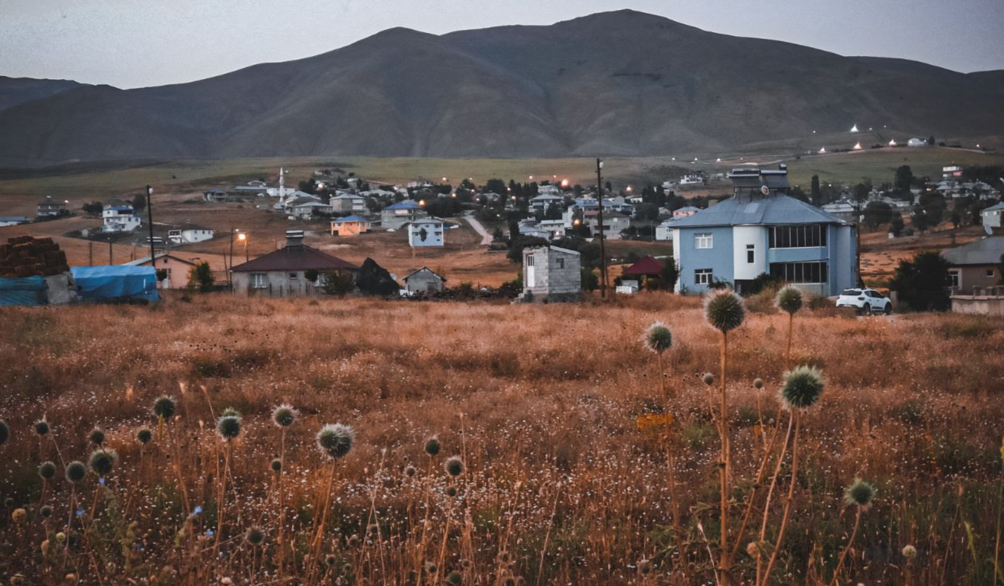
Varto district center and many villages are on the earthquake fault line. Varto experienced two major earthquakes, the first in 1946 and the second in 1966. Varto district has 93 villages. The most important source of livelihood of the people in Varto, as in the rest of Muş, is agriculture. The main agricultural products are cereals, including wheat. Apple and pear production is important. Varto has developed in terms of animal husbandry rather than plant production. In terms of the presence of sheep and hair goats, it is the second important district of Muş after the Central district.