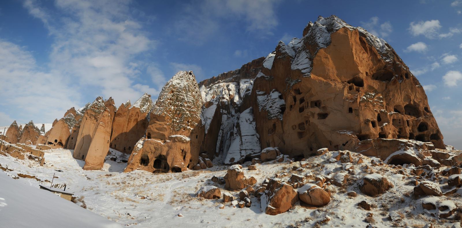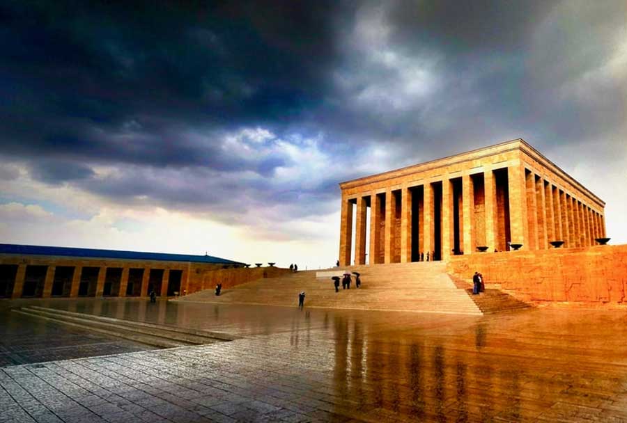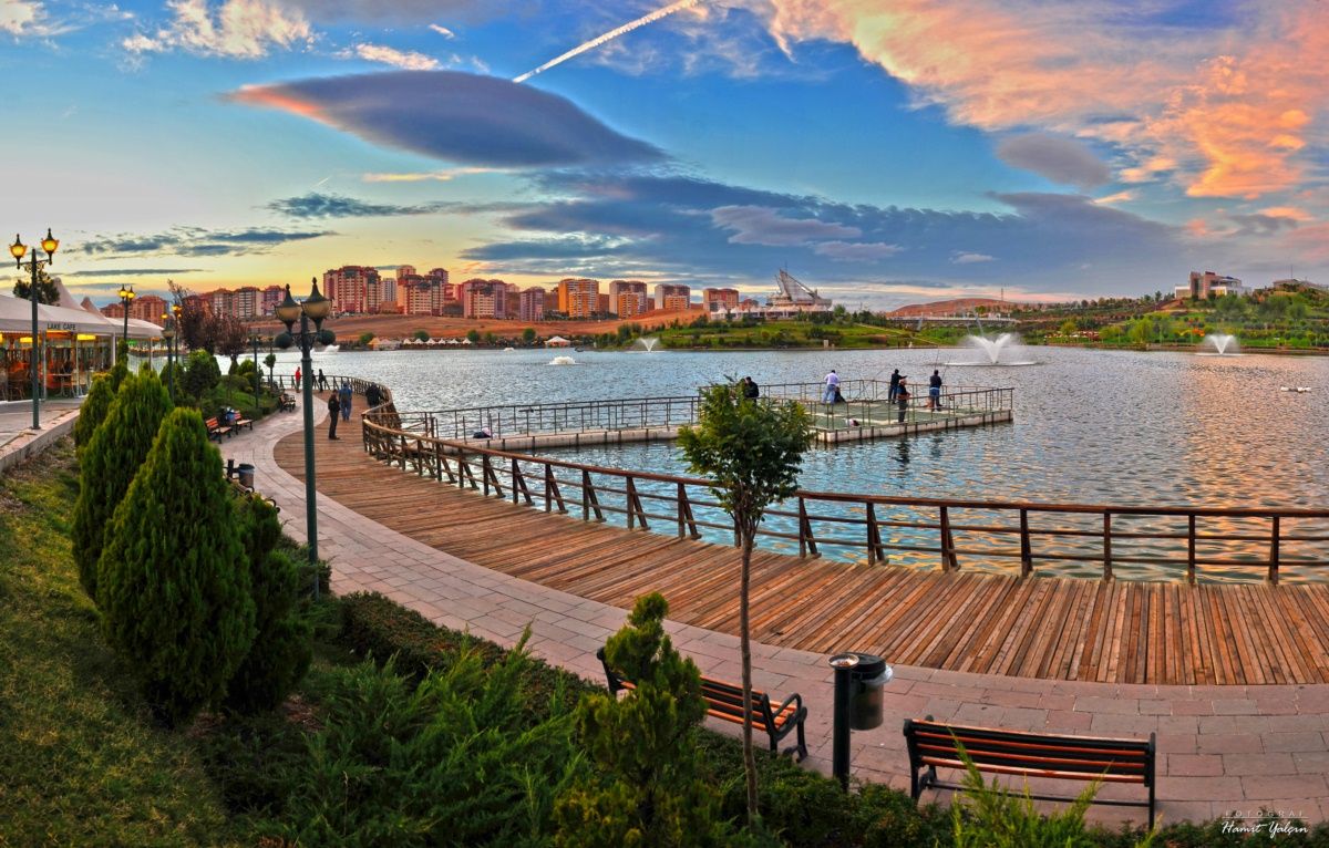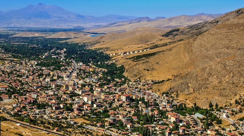
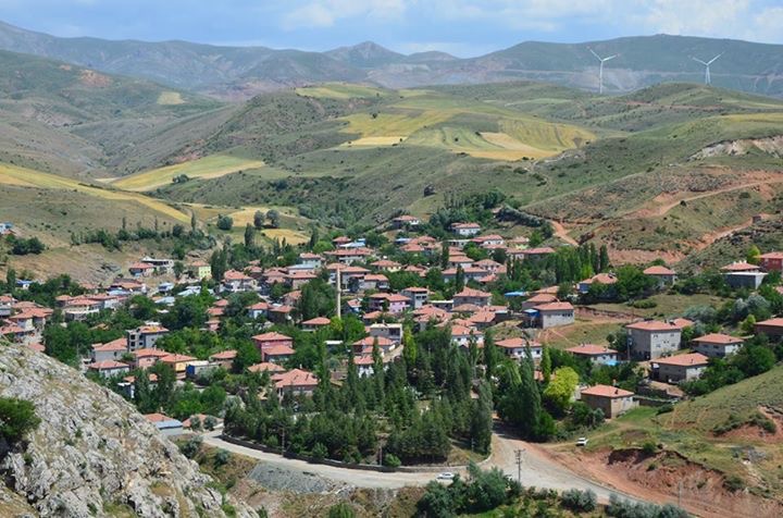
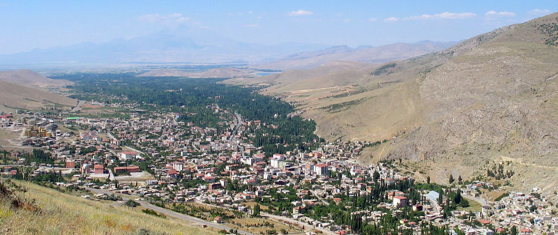
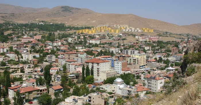
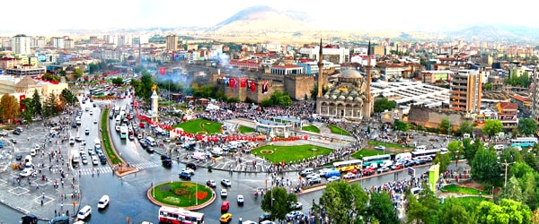
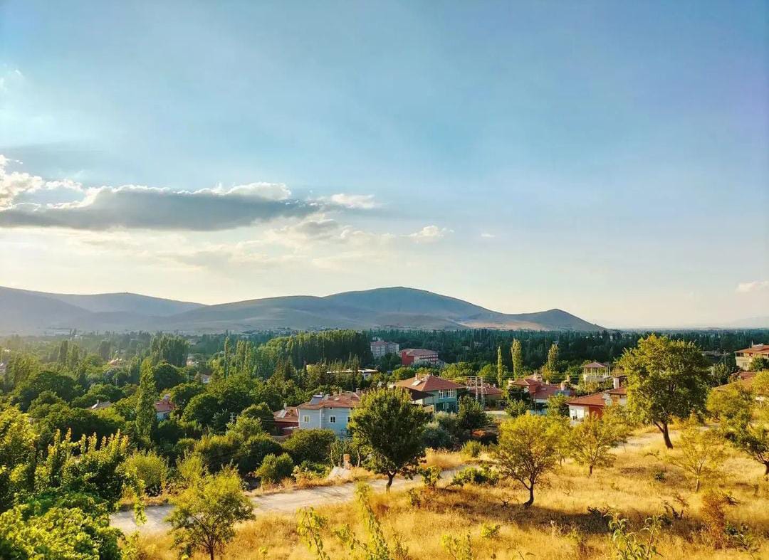

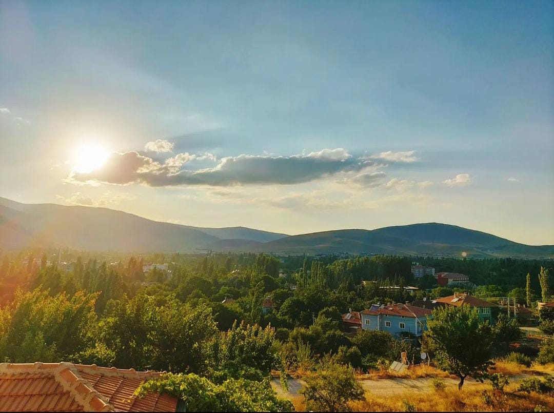
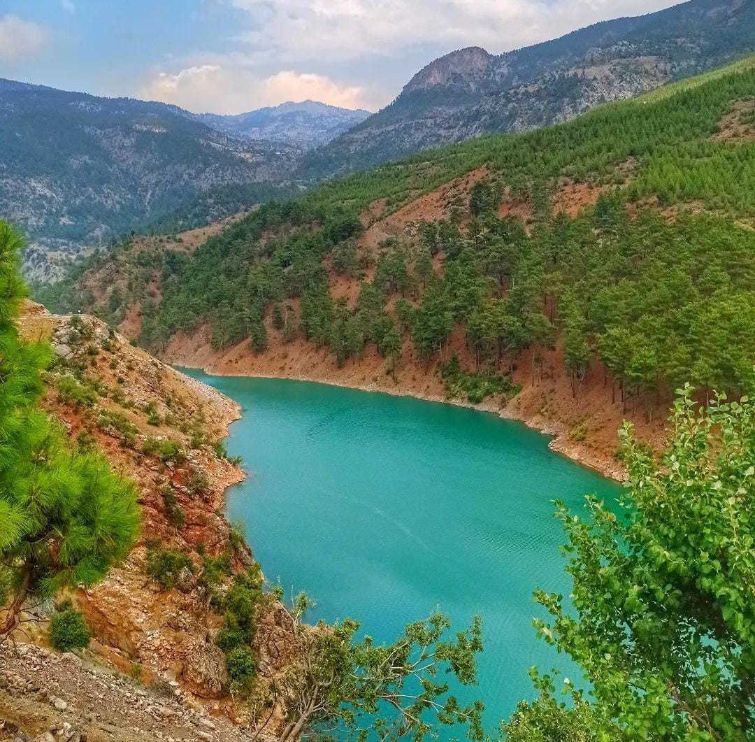

Yahyalı
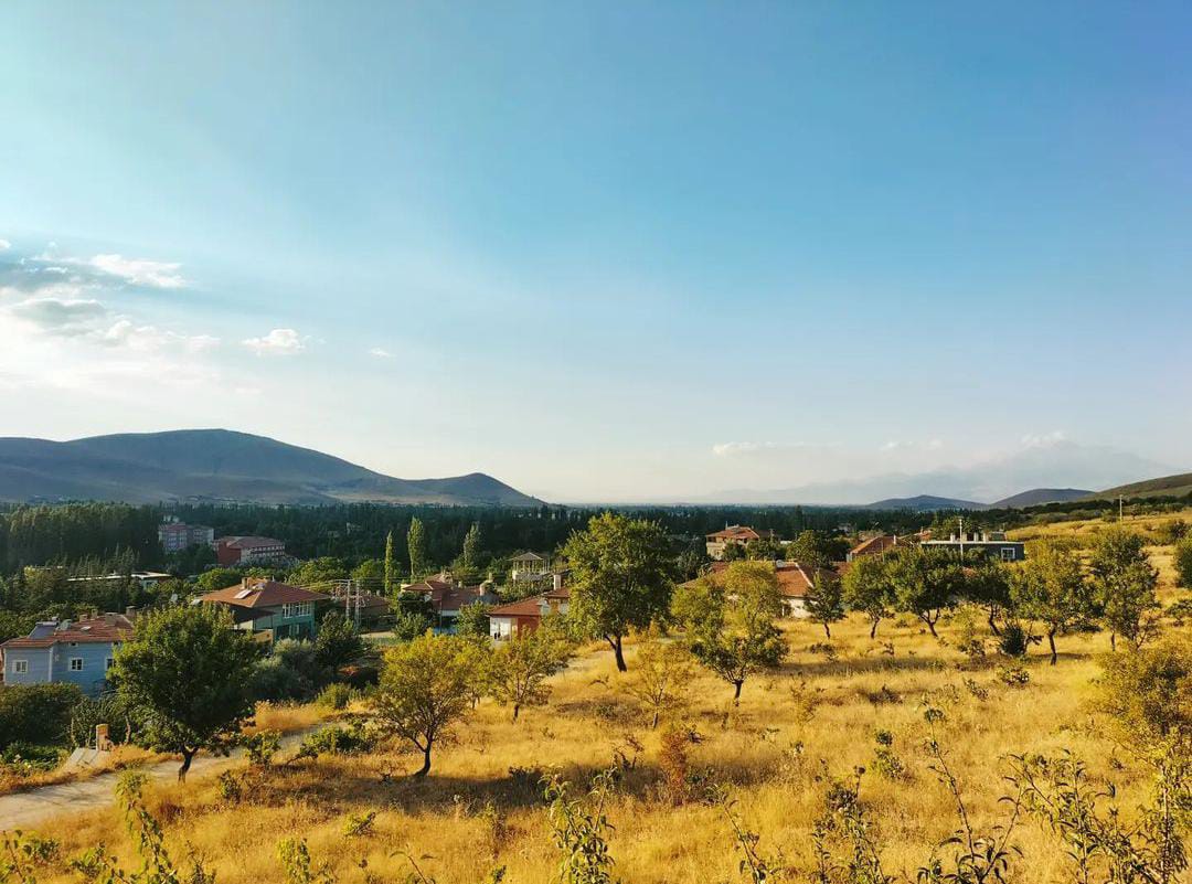
The district was established by the Turkish forces who came to Anatolia. These forces were led by Seyyid Ali and Yahya Ali (Yahya Gazi). The tomb of Seyyid Ali is in the garden of Yahyalı State Hospital, and the tomb of Yahya Gazi is in the courtyard of the Yahyalı Grand Mosque. Yahyalı, which was affiliated to Kozan until 1926, was connected to Kayseri after Kozan Province was transformed into a district in 1926. The center of the district and the plains in the north are in the Central Anatolia Region, and the forested part in the south of the district, where the Aladaglar Mountains are located, is within the boundaries of the Mediterranean Region. It is 1210 meters above sea level. The Zamantı River, which passes through the boundaries of the district, Kapuzbaşı Waterfalls stream, Derebağ Waterfalls stream and Kocaçay flowing through the county are the main streams. The district was established in a valley on the east-facing slopes of Chios Mountain and the plains surrounding the Sultan Marshes in the south of Erciyes Mountain. The district was established in the south of Kayseri Province and neighbors Develi to the north, Feke District of Adana to the southeast, Dündarlı town of Niğde to the west, Çamardı of Niğde to the southwest and south, and Yeşilhisar to Kayseri to the northwest. Yahyalı, which is the continuation of Develi Plain, which is a depression plain, is in the third degree earthquake zone. There are plenty of apple orchards in the plain area. Although the southern parts of the district are mountainous, there are 44,709 hectares of forested area, 11674 hectares of which is productive and 33,034 hectares of degenerate, in the southeast close to the Adana borders. The amount of pasture qualified land is 558.4 hectares.