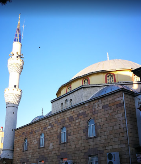
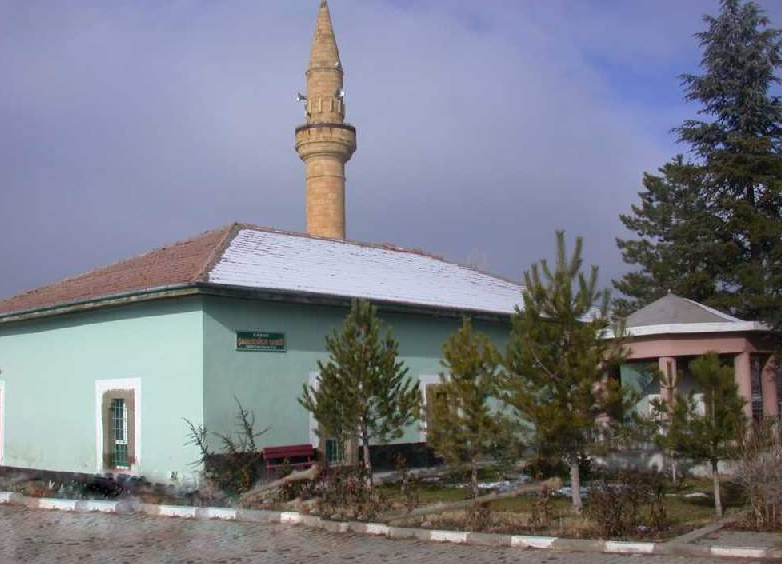
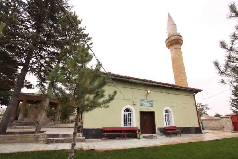
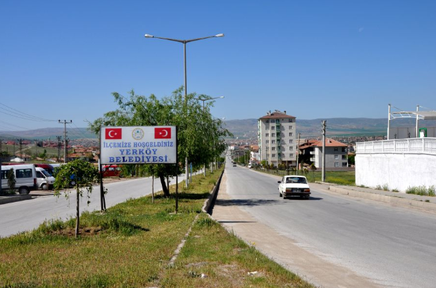
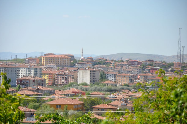
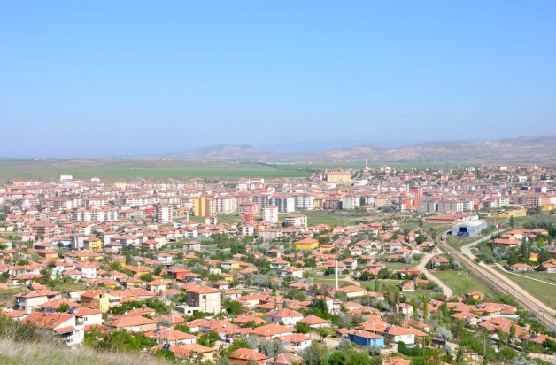


Yerköy
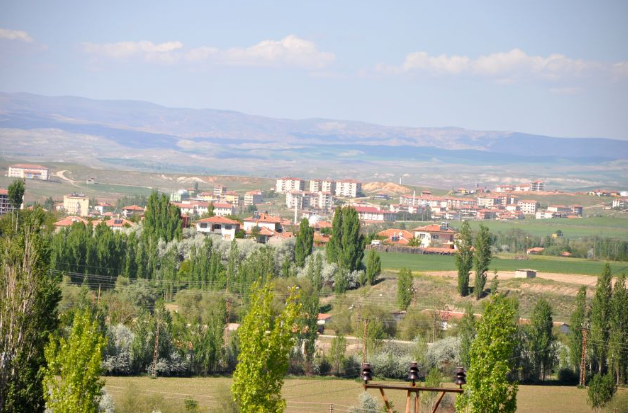
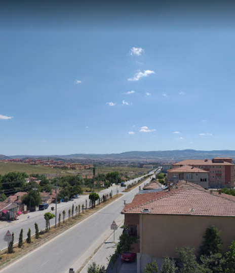
Yerköy is a district located in the southwest of Yozgat province, bordering Kırşehir, Kırıkkale and Çorum, 39 km from the city center.
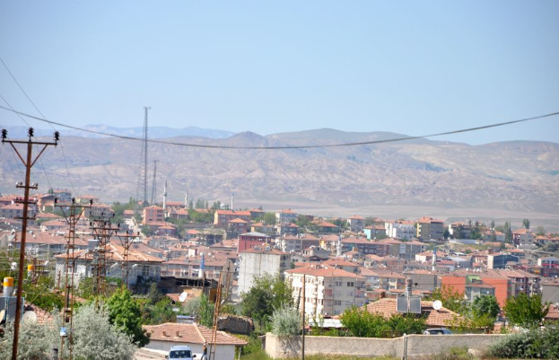
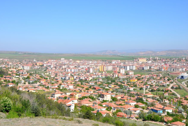
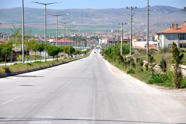
Located at an altitude of 774 m above sea level, Yerköy has a population of 38,925. The county, which has an area of 1,245 km², has 2 town municipalities, 1 Salmanlı Subdistrict and Saray and Sekili, and 58 villages. Most of the district, where the continental climate is seen, is steppe. Streams are generally wooded.
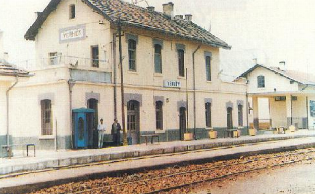
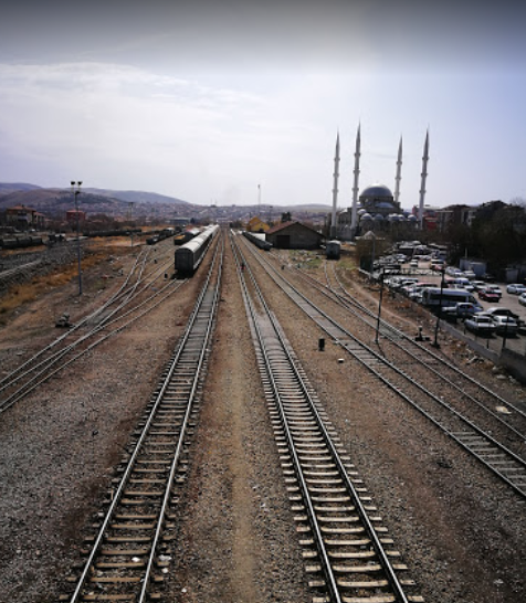
Yerköy, which was a small village during the Ottoman period, started to develop after the Ankara - Kars railway was put into service during the republican period. Yerköy, which became a parish in 1935, became a district of Yozgat in 1945.
Most of the people of the district earn their living from agriculture and animal husbandry. Wheat, barley, chickpea, sunflower, sugar beet, potatoes, onions, apples, melons and watermelons are among the products grown. Small and bovine livestock farming is carried out both in the form of pasture livestock and fattening livestock. There are also various industrial facilities in the district.